Elevation Gain: 279m
Distance: 3.42km
Total Time: 1 hour 25 minutes
Date: April 27th, 2025
On a particularly sunny weekend I was called into action to attend a Bachelor party of my close friend in Penticton. I don’t drink or golf or any of the other usual Bachelor party activities, but that didn’t stop me from at least going to hang out with everyone and supporting my friend. The festivities wrapped up early on Sunday morning and I had a 4 hour drive through Princeton to get back home. With such good weather around I was itching to break up the drive with a hike somewhere. I was faced with one minor calamity though. In my haste to pack, I neglected to bring any hiking gear whatsoever and most especially any snow gear. To my luck, everything around Penticton and Keremeos was mostly dry and if I was strategic I could avoid the snow altogether.
That’s where Mount Laidlaw came into focus. It was on the way, snow free and there’s some beta on an unofficial trail to the top. I was armed only with the worn out tread of my street shoes so a trail was probably the best I could hope for. However, when looking at the map I wasn’t satisfied with the approach options and decided to just go explore some other alternatives instead.
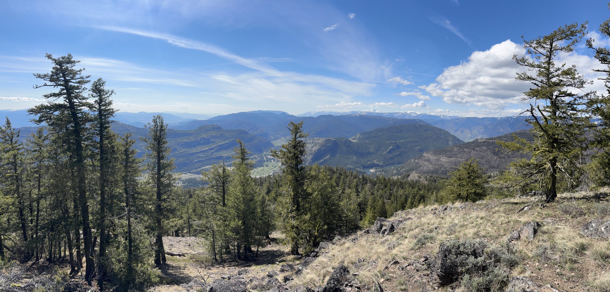
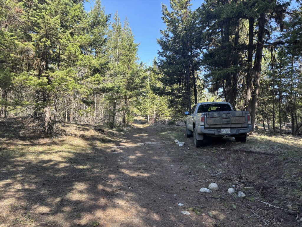
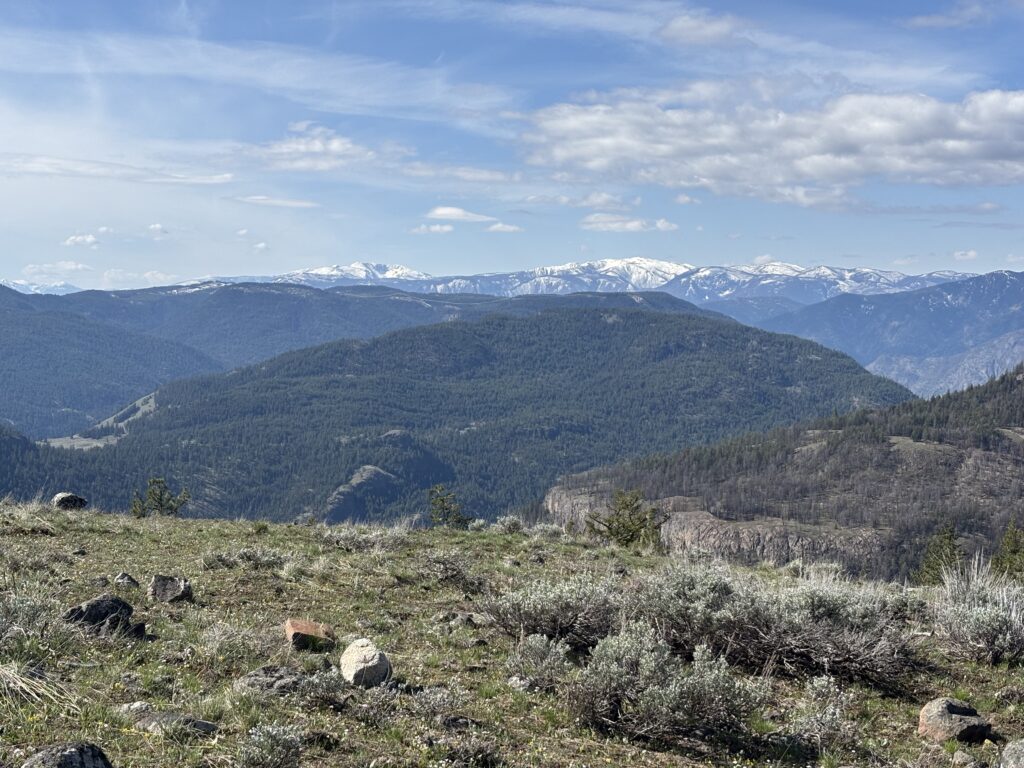
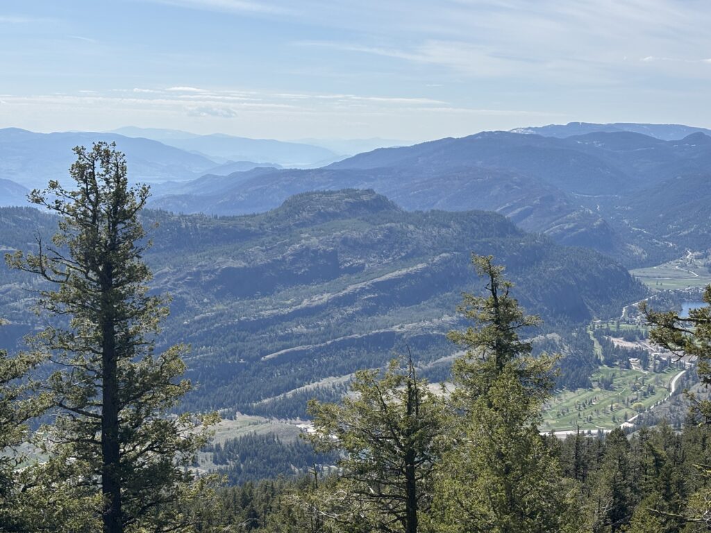
My plan was hatched and I pulled out from my road side planning stop and headed down the valley and up Sheep Creek Road and followed some spur roads up to the west side of Mount Laidlaw. I kept finding new smaller roads that weren’t all that hard to drive and eventually find myself with just a few km of walking to do. I found a reasonable spot to park and then walked up a small game trail of sorts and exited out onto a huge strip of open meadowed ridge line. The flowers were out and the sunshine was immaculate so I strolled my way through taking it all in.
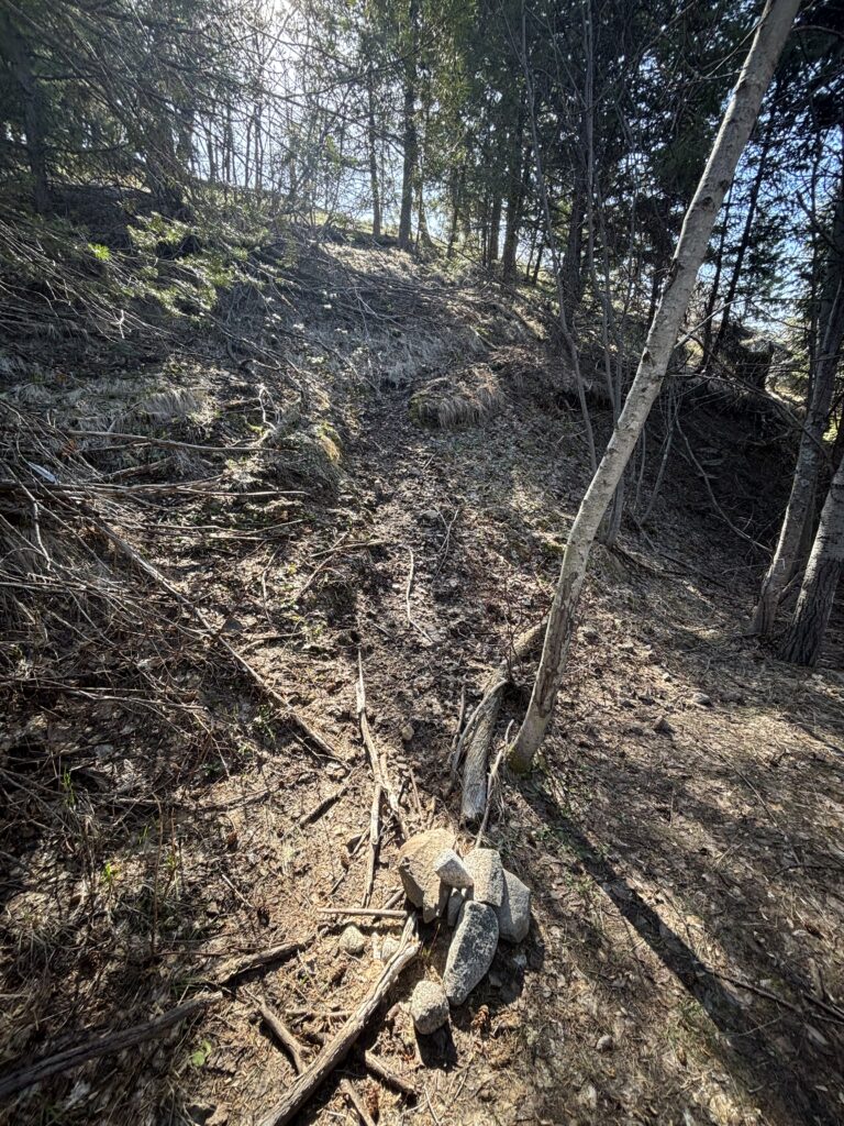
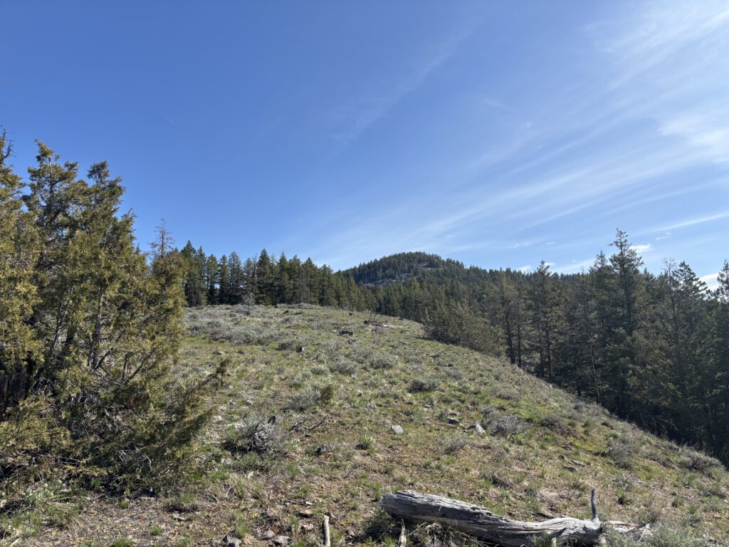
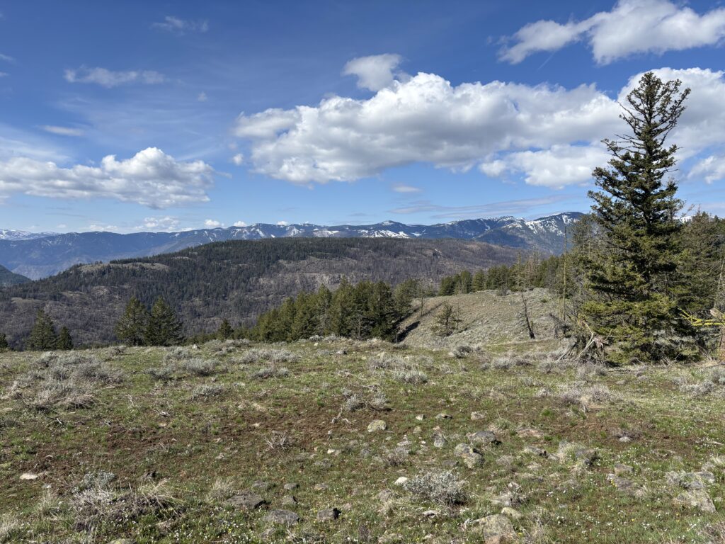
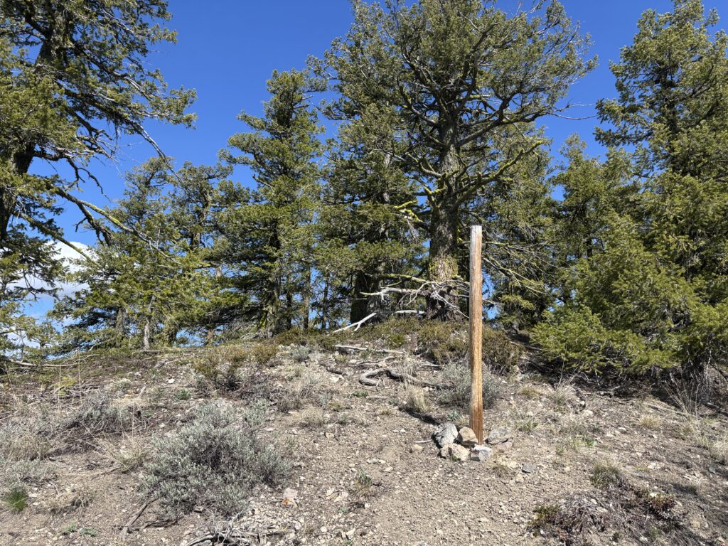
At the end of the open ridge I passed a communication tower of sorts and then proceeded into the forest. There was occasional patches of snow, but I dodged them all and then had only one short section of steep-ish slope to ascend to the summit. A rather short, but rewarding route to say the least.

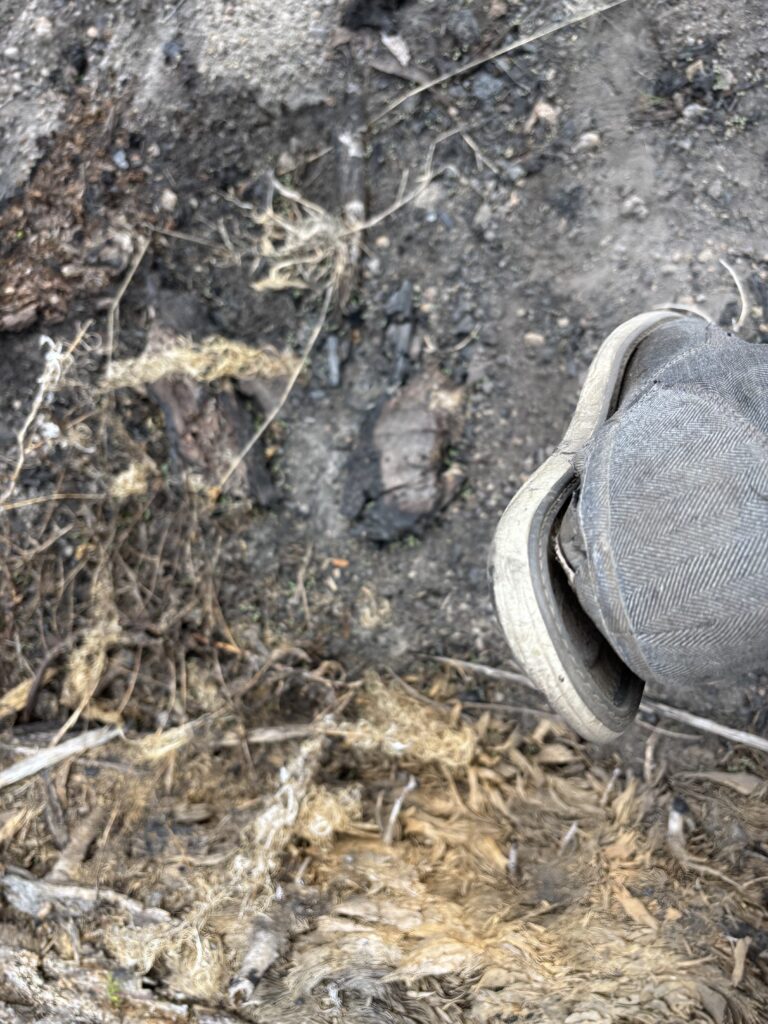
My shoes were almost completely delaminated at this point, so I tread carefully down the steepest section and then returned to the pleasant meadows below. The hike ended almost as soon as it started and now I still had some time on my hands. A nearby unnamed peak finally called my attention and so I drove out to have a look.