Elevation Gain: 2,145m
Distance: 16.34km
Total Time: 8 hours 31 minutes
Date: November 8th, 2025
Alex, Sarah, Scott and myself were looking to get out the second weekend of November and test out the snowpack. By now the alpine had received several dumps of snow and avalanche forecasting still hadn’t commenced. We decided to play conservative and because the snow line was still high, find something with at least a trail to start. Alex suggested Sigurd Peak and that looked like a perfect outing with enough elevation gain to kick start the winter cardio. Scott kindly offered to drive us out from West Van and so we all met just before 6am and drove out to the trail head.
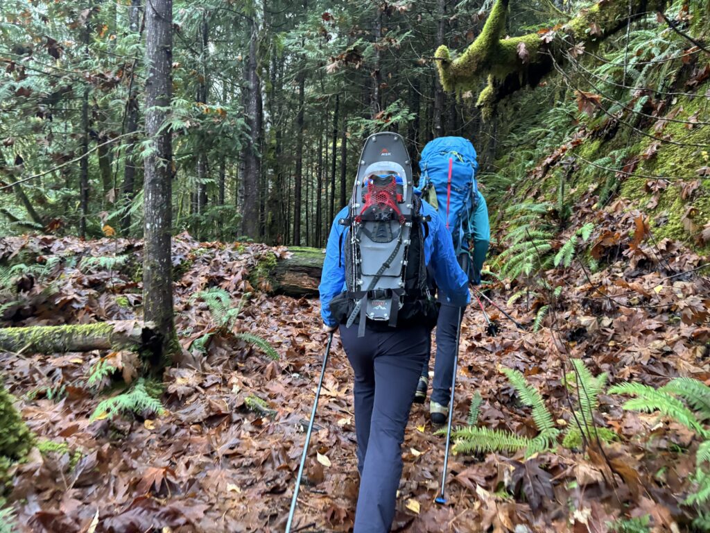
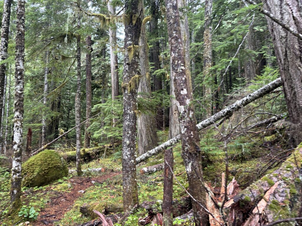
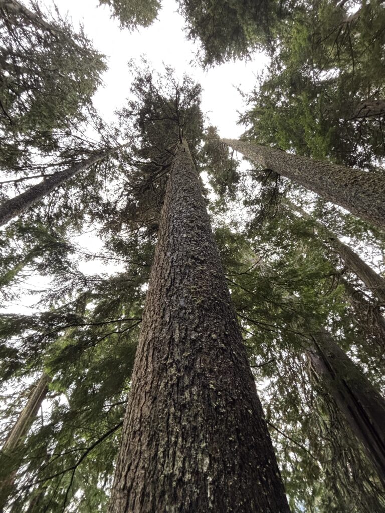
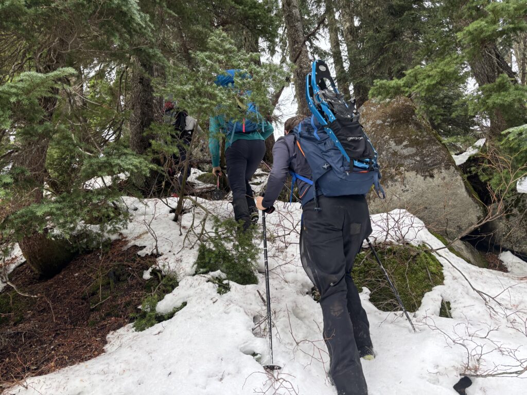
The first part of the trail started up the old A-250 branch and then cut up through mature forest. There were some impressive trees through this section and Sarah was able to help identify the various Douglas Firs, Cedars and Western Hemlocks. At around 1200m we hit continuous snow, but it wasn’t until 1400m or so that snow shoes were finally required. We ended up a bit off trail and climbed up through some steep bluffs before relocation the flagging. At that point it didn’t matter much anyhow as the trail just stuck to the ridge crest.
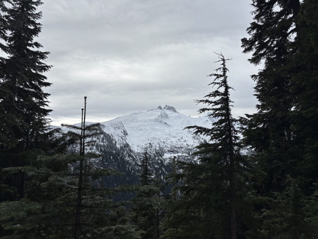
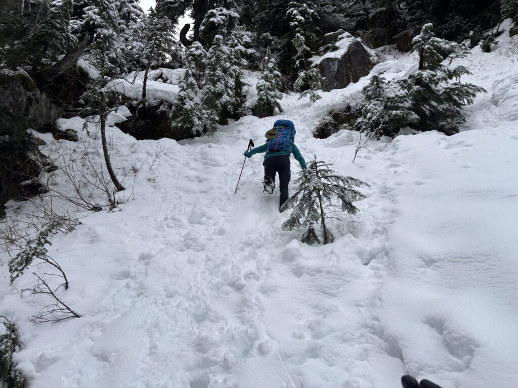
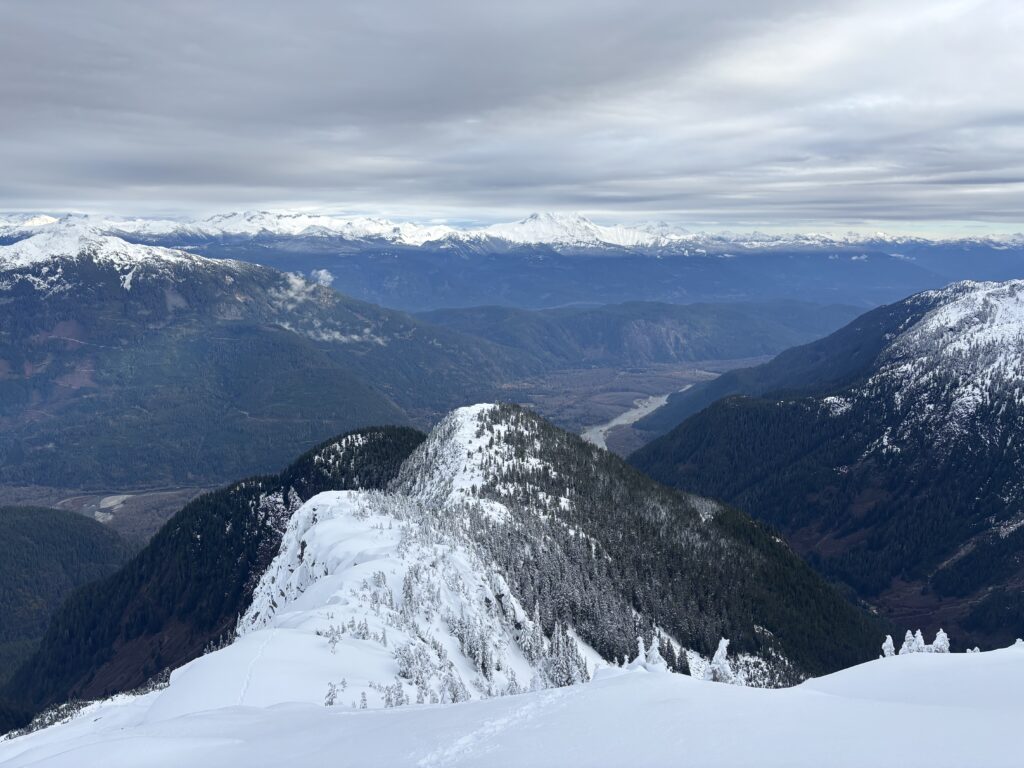
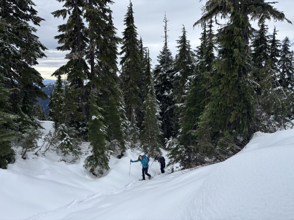
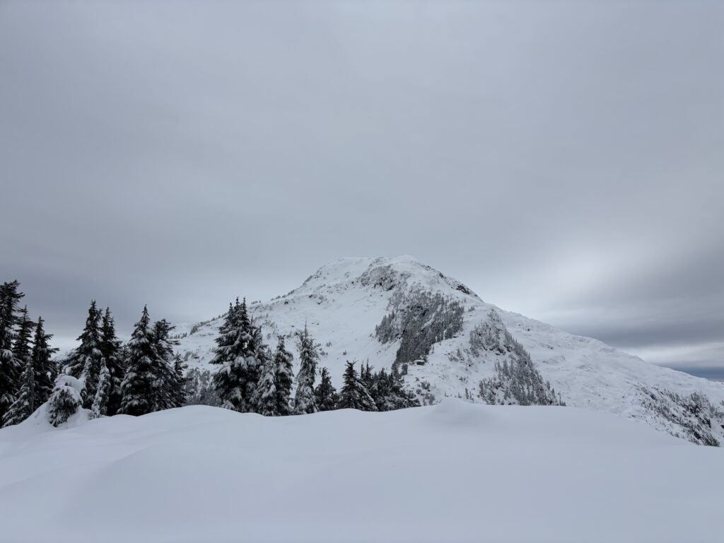
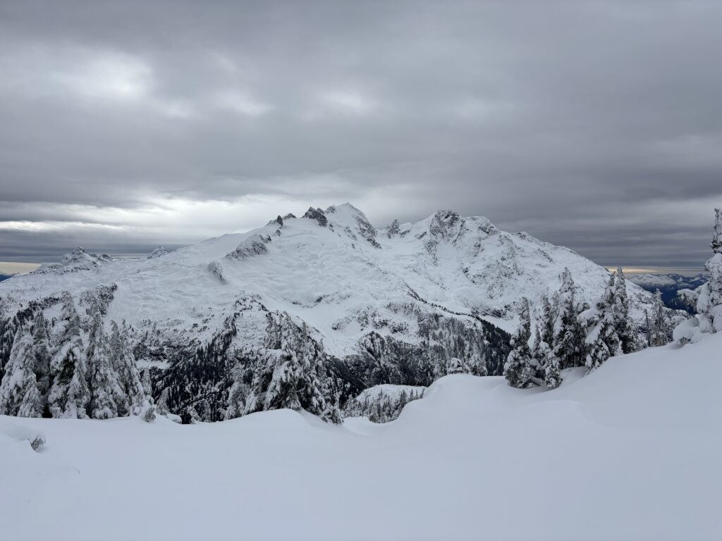
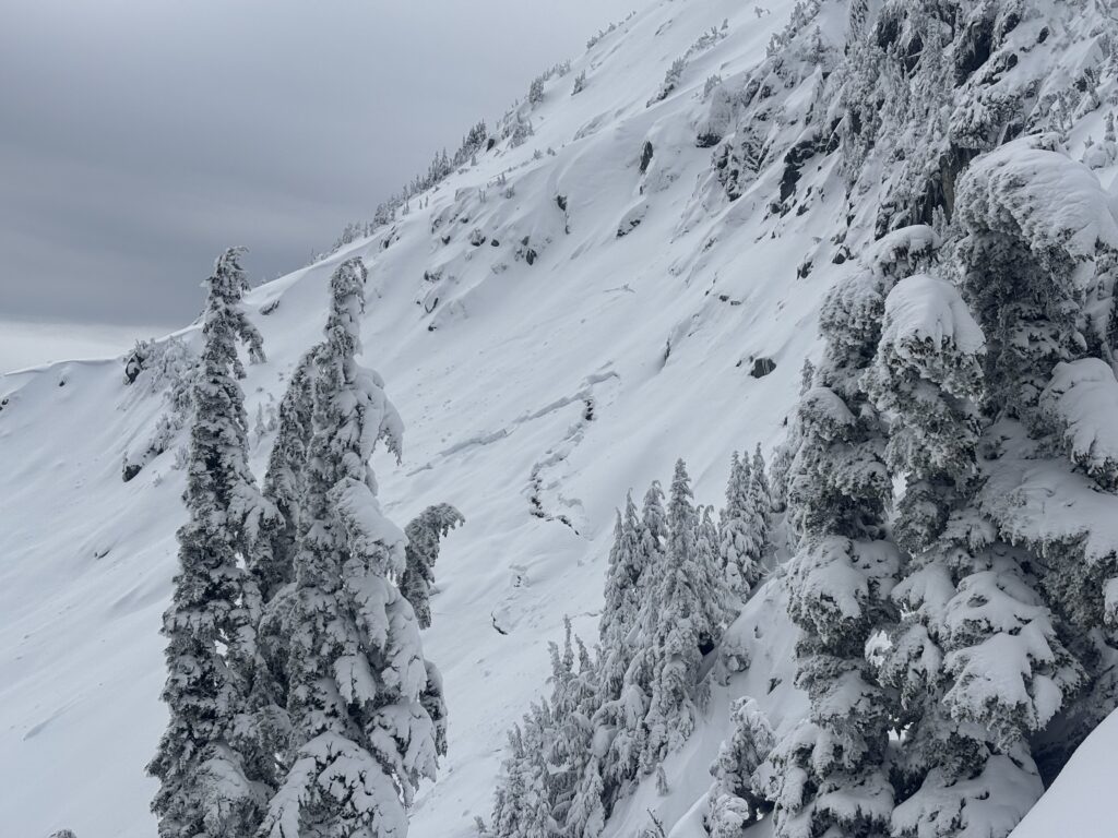
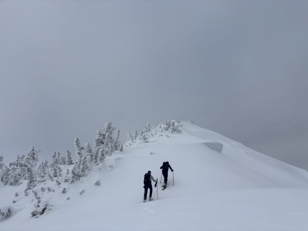
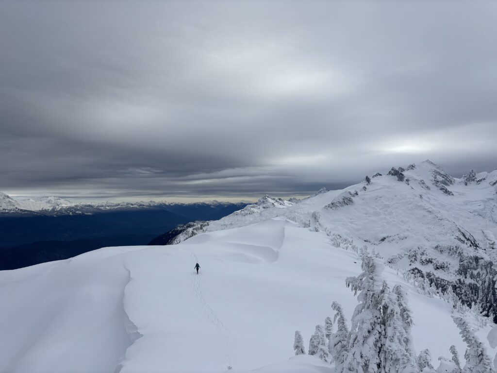
Above the bluffs, the trees opened up and we had superb views towards the summit and surrounding area. Despite the overcast, the visibility was fantastic and we could easily see all the way to Baker and the Cheam range. The ridge didn’t look all too challenging with just a few short sections. As we progressed higher the trail breaking grew deeper, but it never reached a proper slog.
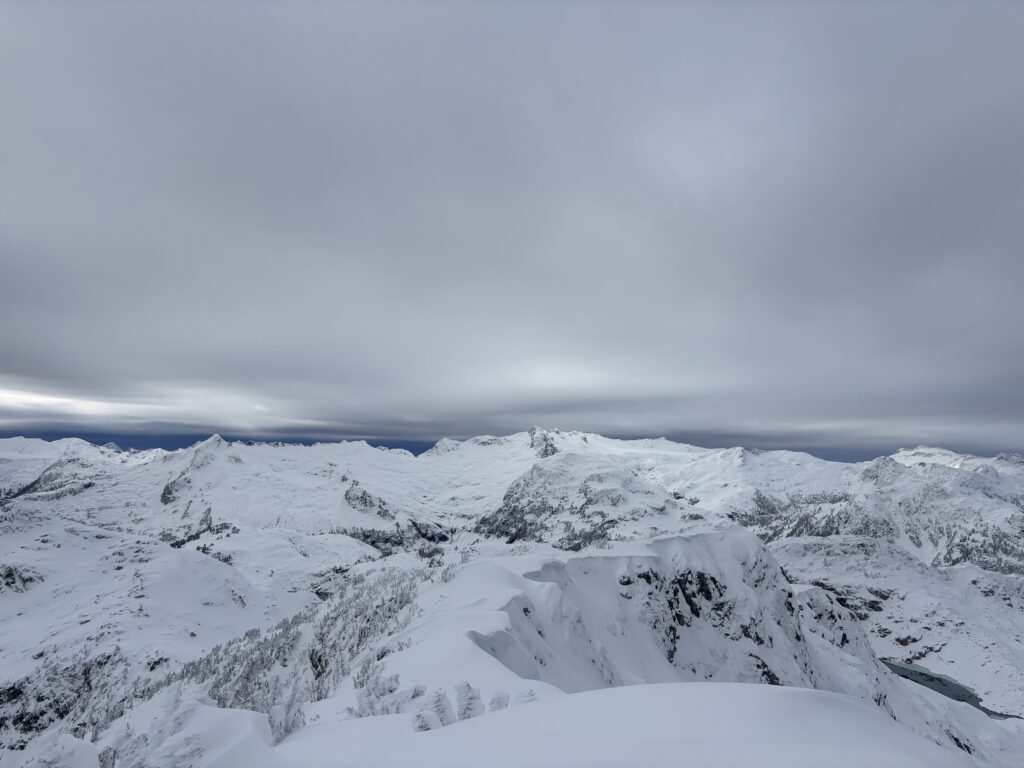
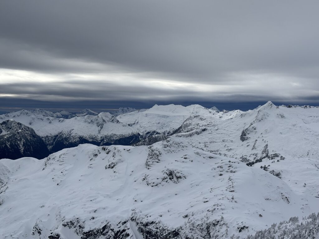
By noon we had all piled onto the summit. All around were snow topped summits and I was reminded how beautiful the alpine can be in the winter time. The downside to winter is naturally the short days and we had just 4 hours of day light to spare by the time we reached the top. We spared no time and headed back down.
The ridge was fast and easy to descend, but once we reached the forest the wet roots made for a tedious return. I took a WWE style slam on to the ground and had to dial the speed back a bit after that. It was a relief to finally reach the old road and the vehicle just before dark.