Elevation Gain: 1,511m
Distance: 15.25km
Total Time: 8 hours 16 minutes
Date: September 1st, 2025
Mount Truax is a rather unique looking summit in the Bendor Range which is sandwiched in between Gold Bridge and Seton-Portage. It’s an area famous for mining and exploration. Truax itself is named for a rancher who had land at the base of Truax Creek (in his name as well). Andrea and I had seen Truax from all over now, including from Mount Penrose, Nea Peak and Mount Sloan.
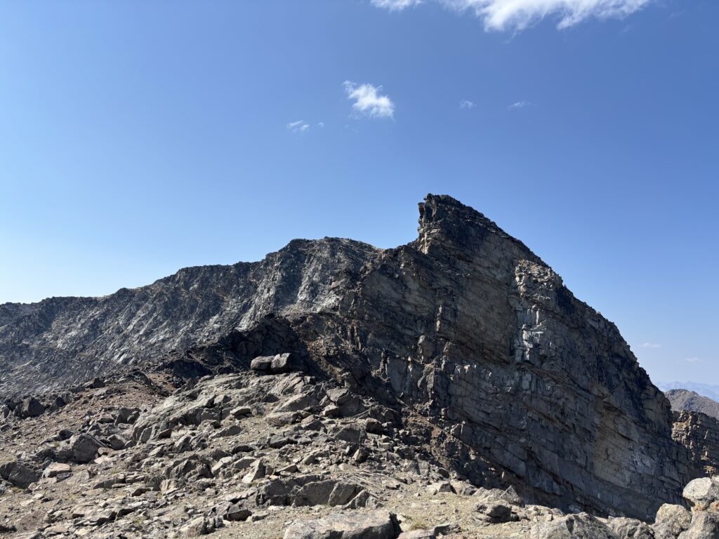
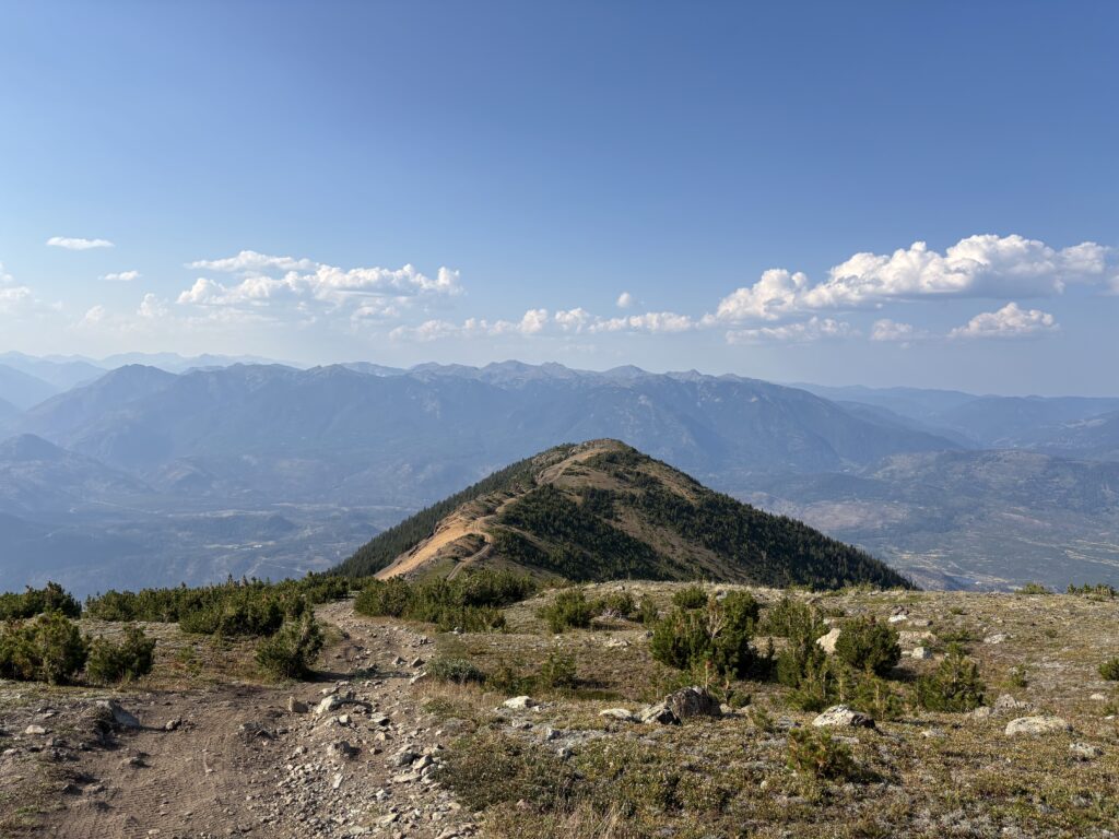
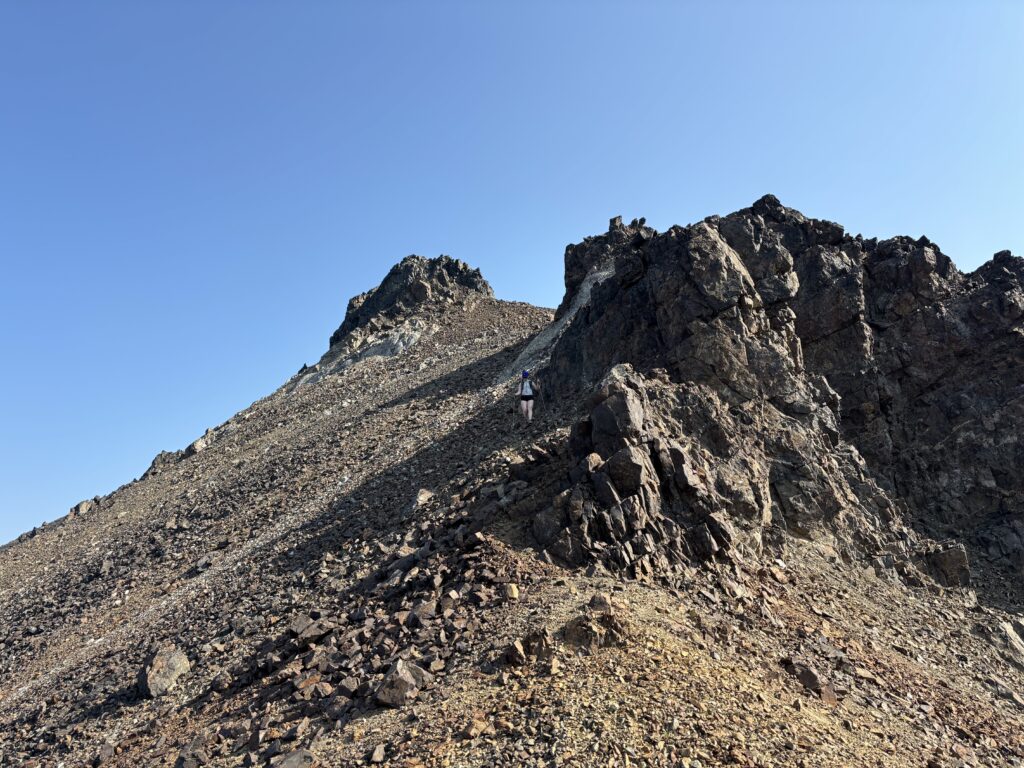
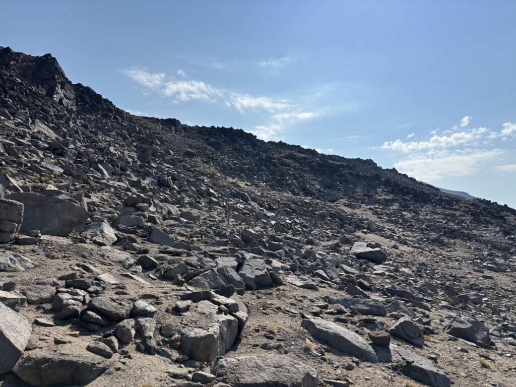
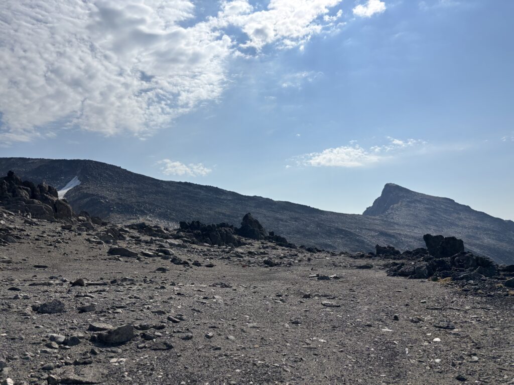
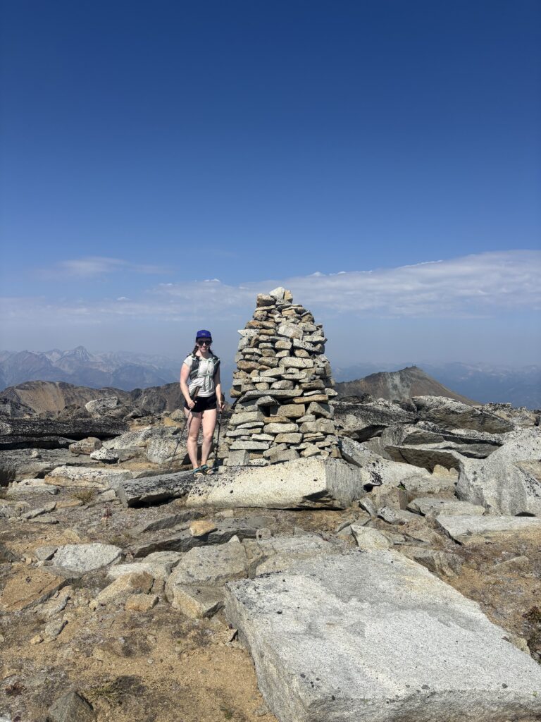
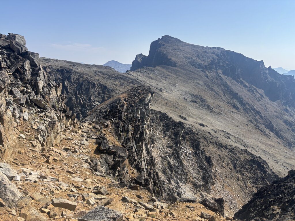
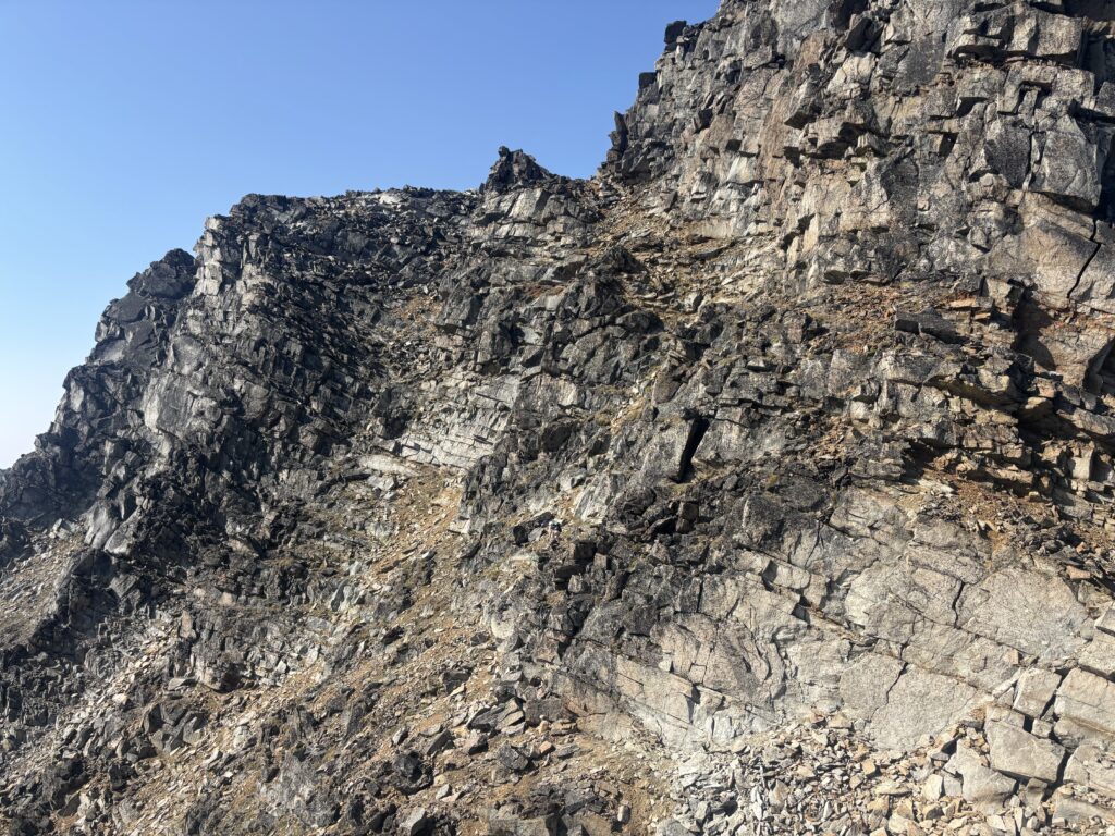
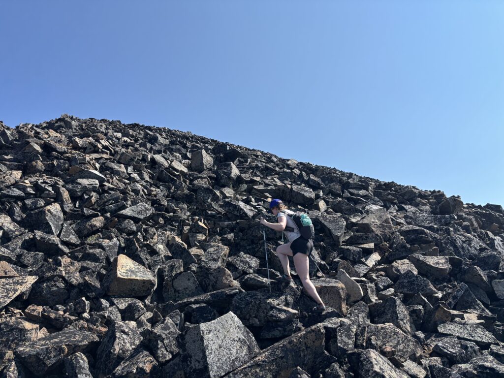
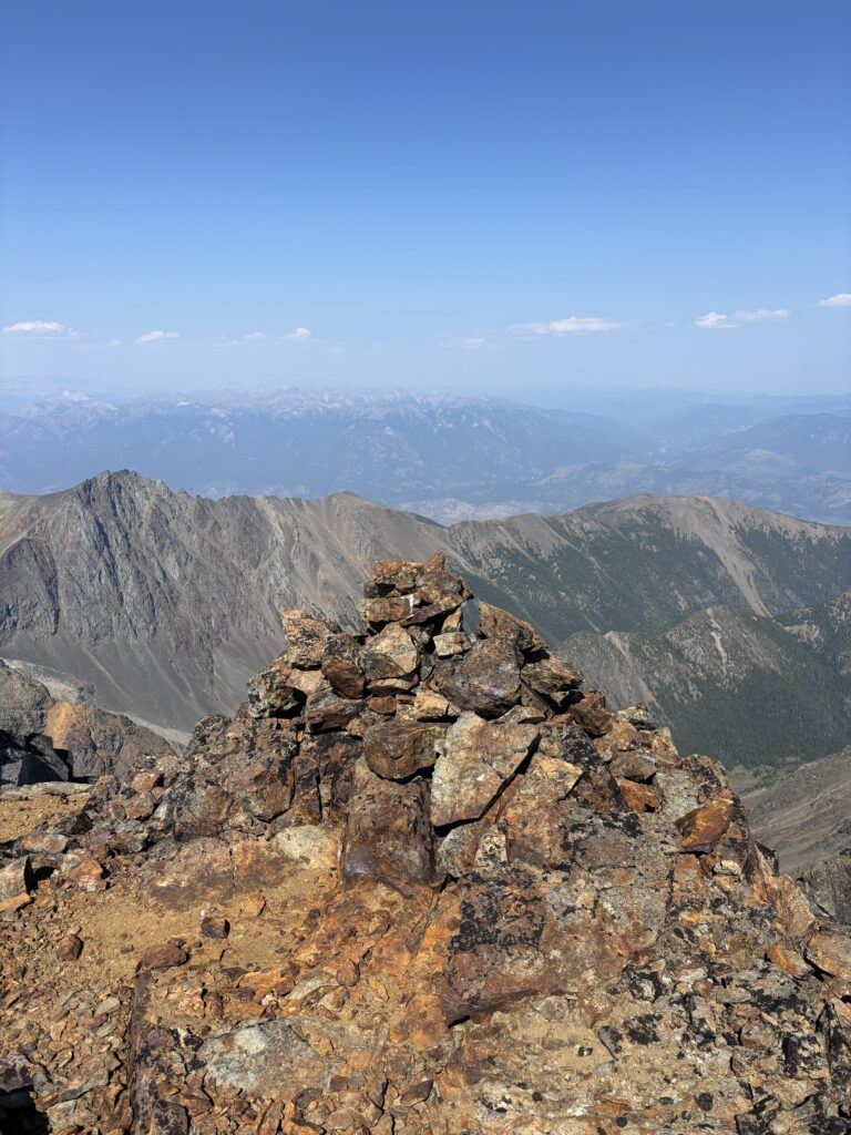
We were finally headed to Truax after a pleasant stop on the summit of Stamp Peak. The first order of business was losing some elevation off of the summit of Stamp. The descent didn’t exceed 2nd class and we sound found ourselves back on the ascent, trudging up scree. Once we we over this first hump, we had beautiful open rolling terrain. We climbed up to another high point where massive leaning cairn marked nothing in particular and then dropped down the other side. Here we had to scramble down some 3rd class benches to gain a gully below and that connected us with the tame southwestern aspect of Truax.
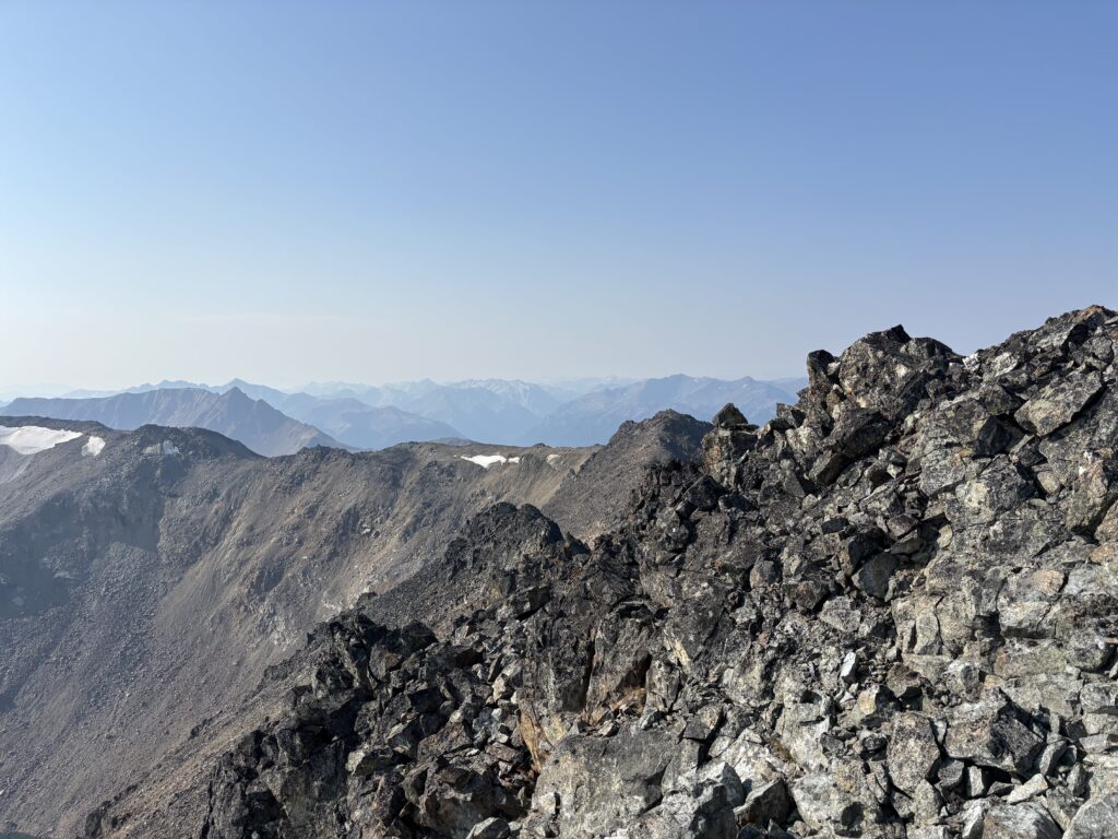
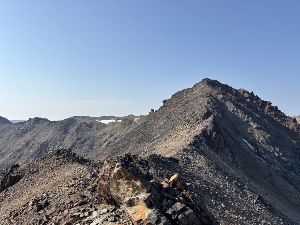
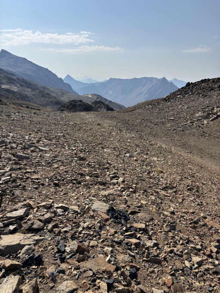
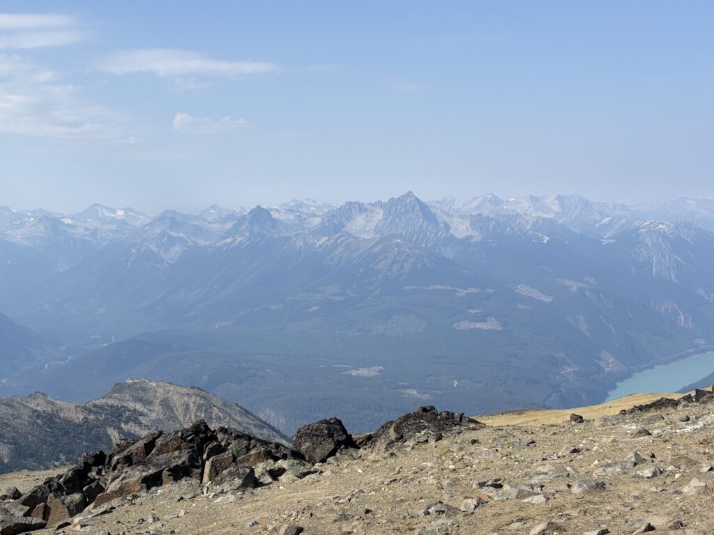
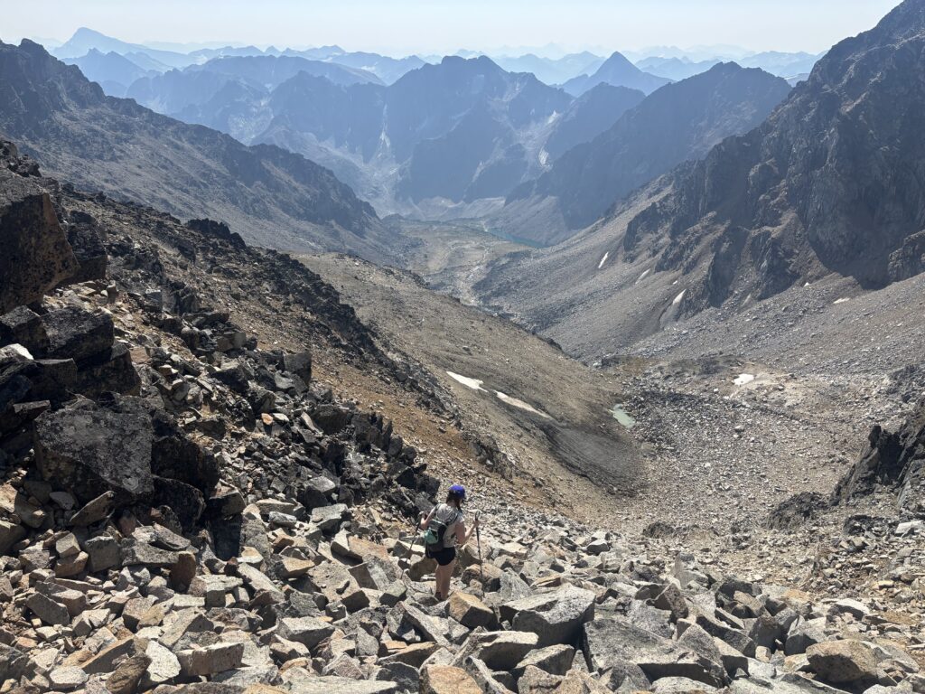
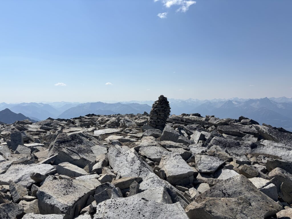
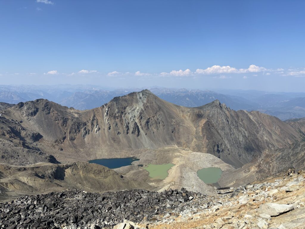
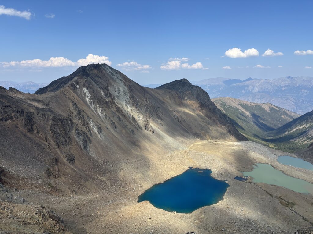
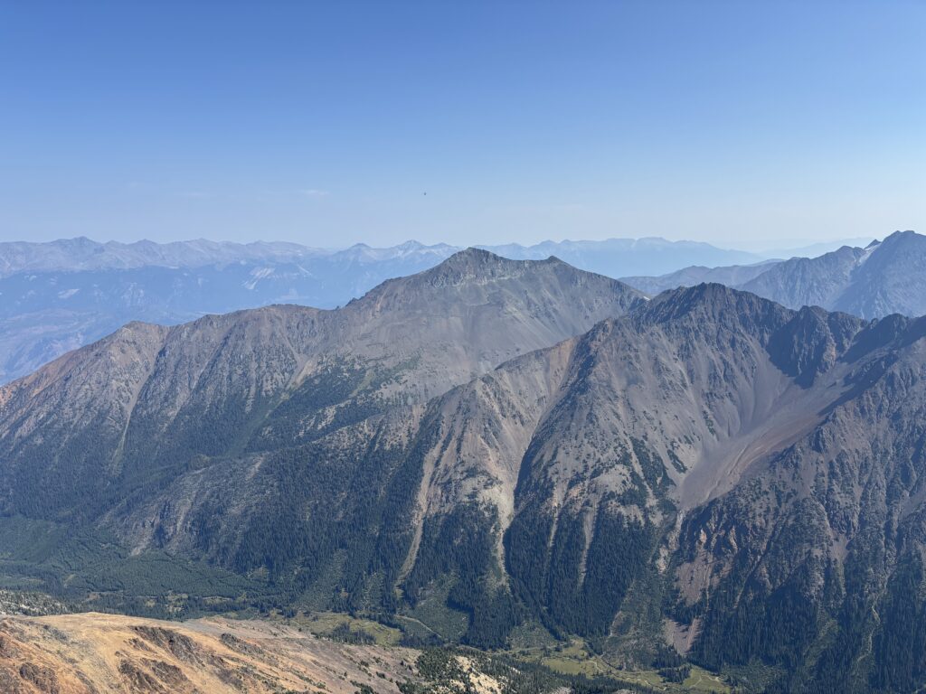
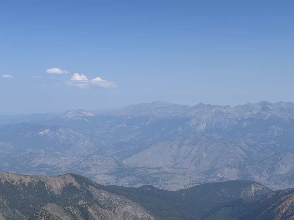
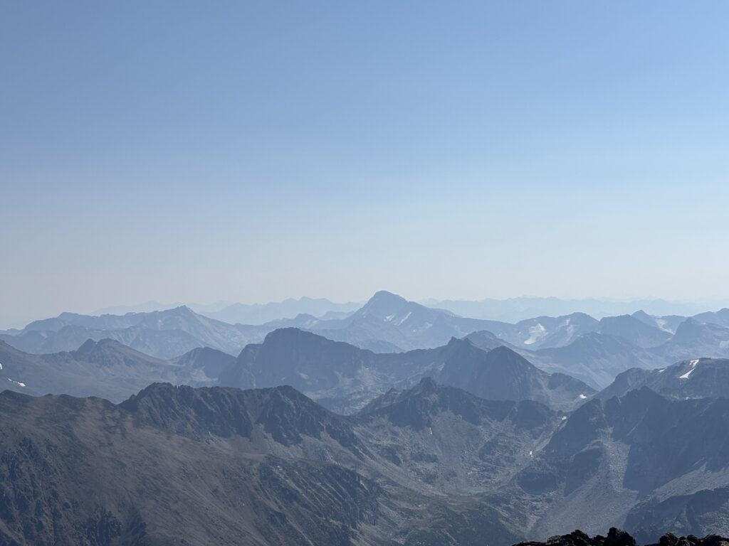
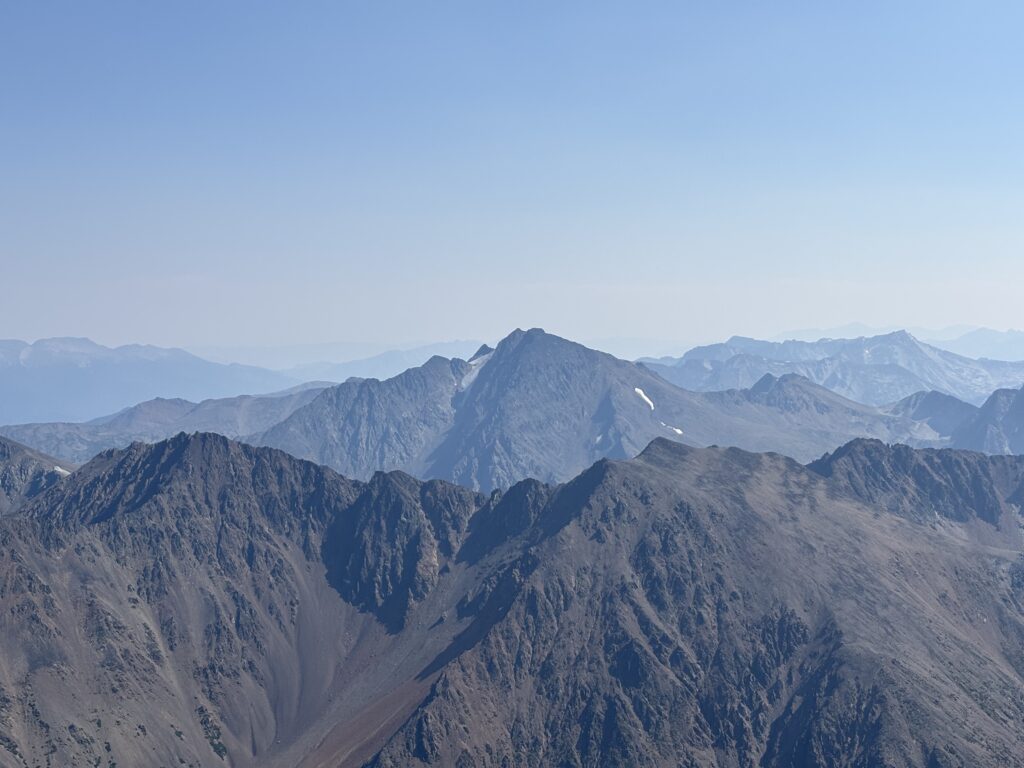
From here it was an easy walk up to the summit. I had my first look at some of the more remote summits to the east, including Mount Bobb and Mount Williams. The Shulaps Range to the north certainly looked appealing and as always the views deep into the Bridge River area always drew my eye. Truax is certainly a wonderful central viewpoint to countless areas worth a visit. As always, each trip out here adds a dozen more places to my list. That’s the beauty of the mountains though.
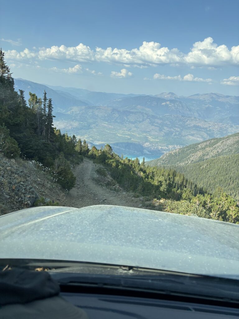
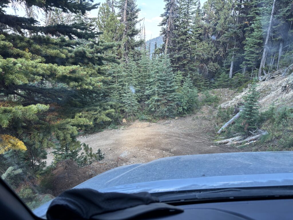
After a snack break we returned to the gullies and benches below and scrambled back up to the massive cairn. That lead us to a long and pleasant return on open ridge line up to Stamp Peak. Save for a bit of slogging back up Stamp it was as easy as it gets. Once we had returned to my truck we had a nerve wracking descent down the Gray Rock Mine Road. The 4×4 community comes up here for fun, so it can’t be all bad, but this was certainly my limit in the truck. Once we reached terrafirma on the service roads below it was smooth sailing back home. Another wonderful outing in the Bridge River area was concluded!