Elevation Gain: 7,389m
Distance: 80km
Total Time: 12 days
Date: June 30th to July 12th, 2025
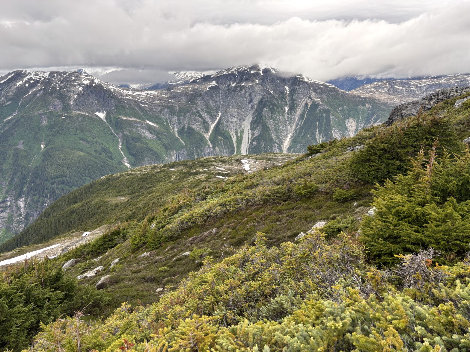
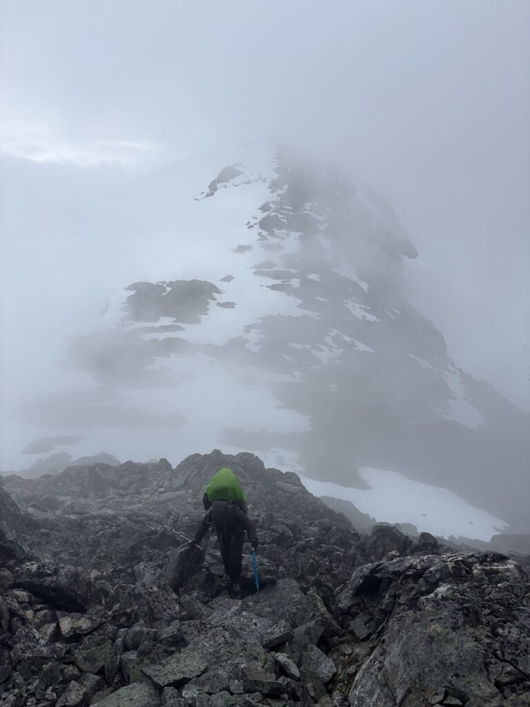
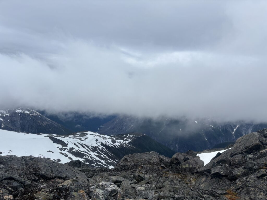
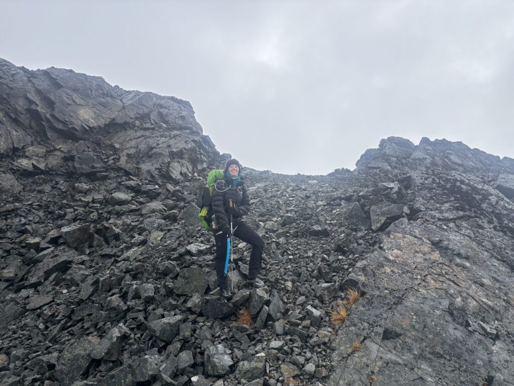
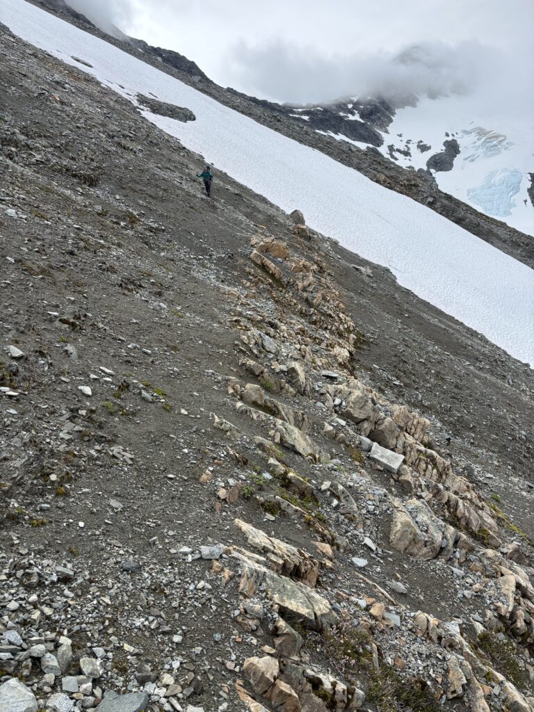
Tipso Peak, which has no real official name, is the tallest summit in the group of peaks north of Sharks Teeth Peaks. It’s a rather tame looking summit and one that we thought Mark and Mike had climbed as part of their traverse in 2005. As a result, we didn’t pay it much mind when we had to hike up and over it to get to our promised land of green heather slopes. You see this was our 11th day doing a traverse around the Kapella Headwaters and we were facing the elements in stormy weather to get towards our exit point of Kimsquit Lake. We had just made a harrowing ascent up Hindsight Mountain and were now drenched at the col between Tipso and Hindsight. The rain and wind had hardly let up and we still couldn’t see more than 30m ahead of us. Our ascent up Hindsight had also taken much longer than anticipated and it was looking unlikely we’d get to our planned camp site.
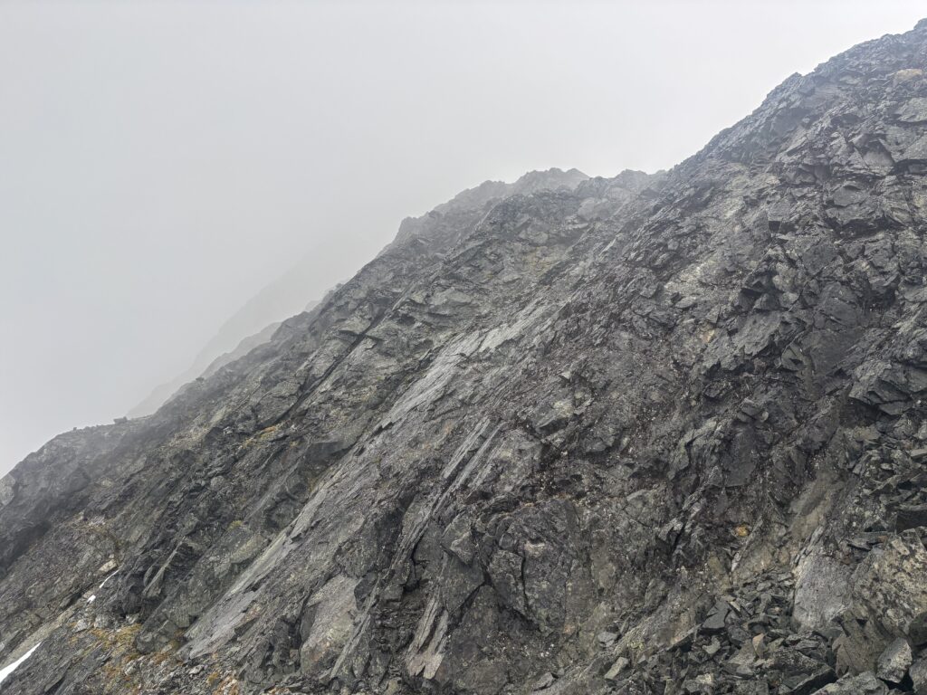
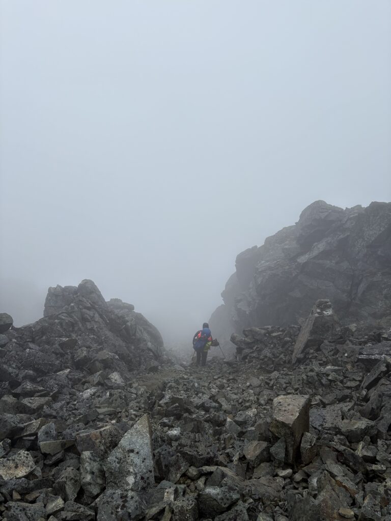
We still had a fair bit of day light left so we committed to at least getting up and over Tipso Peak. From the col we wandered up snow slopes to a talus covered ridge. Soon after we hit yet another section of knife edge ridge. We cursed out wondering how so many of these tame looking summits could keep presenting these dreadful challenges. With better visibility or conditions these would be trivial, but in their present lichen covered state it was best to avoid them altogether. Again we found a 3rd class bypass and then up some snow and eventually on to easier ridge line.
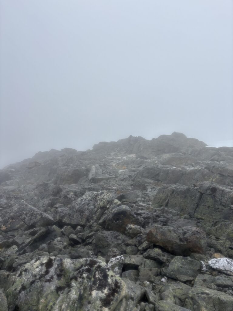
Once on tamer ground we post holed our way up snow a ways and then back on to the rocky ridge. At last we reached the summit. During this entire ascent I had neglected to take a single photo. My pants were soaked through every fiber and any chance I had to take a my phone out the camera simply couldn’t be operated with the wet touch screen. Neither did we leave a summit cairn as we had assumed that Mark and Mike had climbed Tipso. As we’d later find out in talking with them, they had bypassed Tipso via the northern glacier and that meant this was indeed an unexpected first ascent. Unfortunately, the proof is scant other than our GPX track which are easily modified or created from thin air. On the bright side the only logical route towards Kimsquit in a white out is up and over the summit and so we’ll leave it at that.
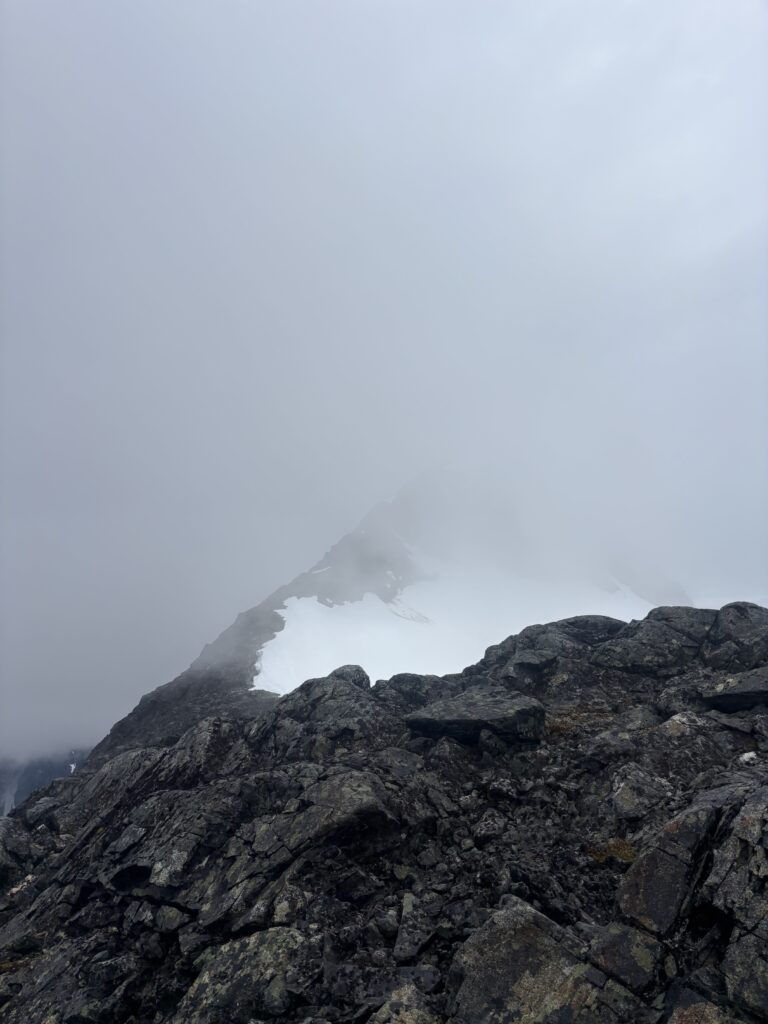
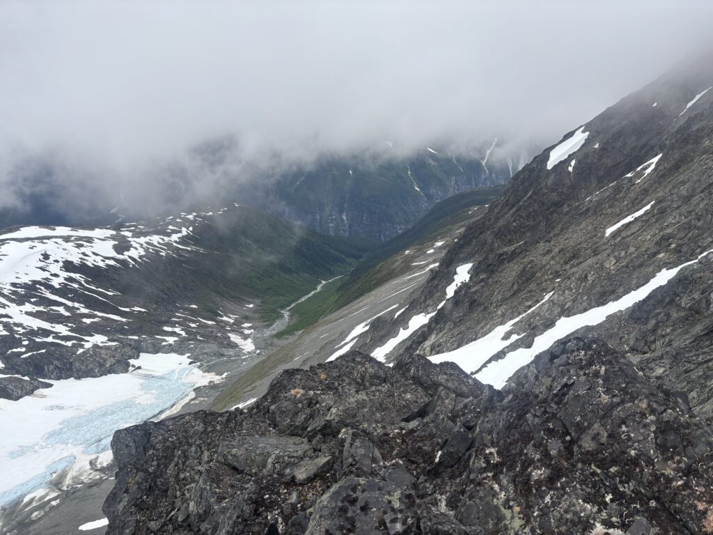
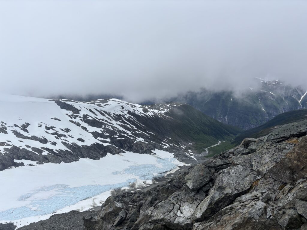
From the summit we descended down the north ridge to the col between Peak 7400 and Tipso. At this point it was starting to get late in the day and we knew continuing on would be unwise. Our promised land of a heather camp site would have to wait another day. Instead we’d be posting up at 2000m somewhere in a storm cloud and likely on snow. But at least we were half a day one summit away from Kimsquit Lake. We scurried around the broad col in search of a camp site and eventually resigned to slightly wind sheltered section of snow on the east side.
We took turns with the shovel to warm up and stay busy and once we had a platform dug out Andrea started putting the tent together. Meanwhile, I busied myself building a massive snow wall in the hopes of keeping the rain out. Once I was satisfied with the 5 foot wall, I migrated into the tent and changed into the last layer of dry clothes. Our situation was looking a bit miserable. The following day we’d need to put on soaked clothes again and push out to the lake. It was already cold enough on the ridge, but adding pre-drenched clothes and it’s not a pretty sight.
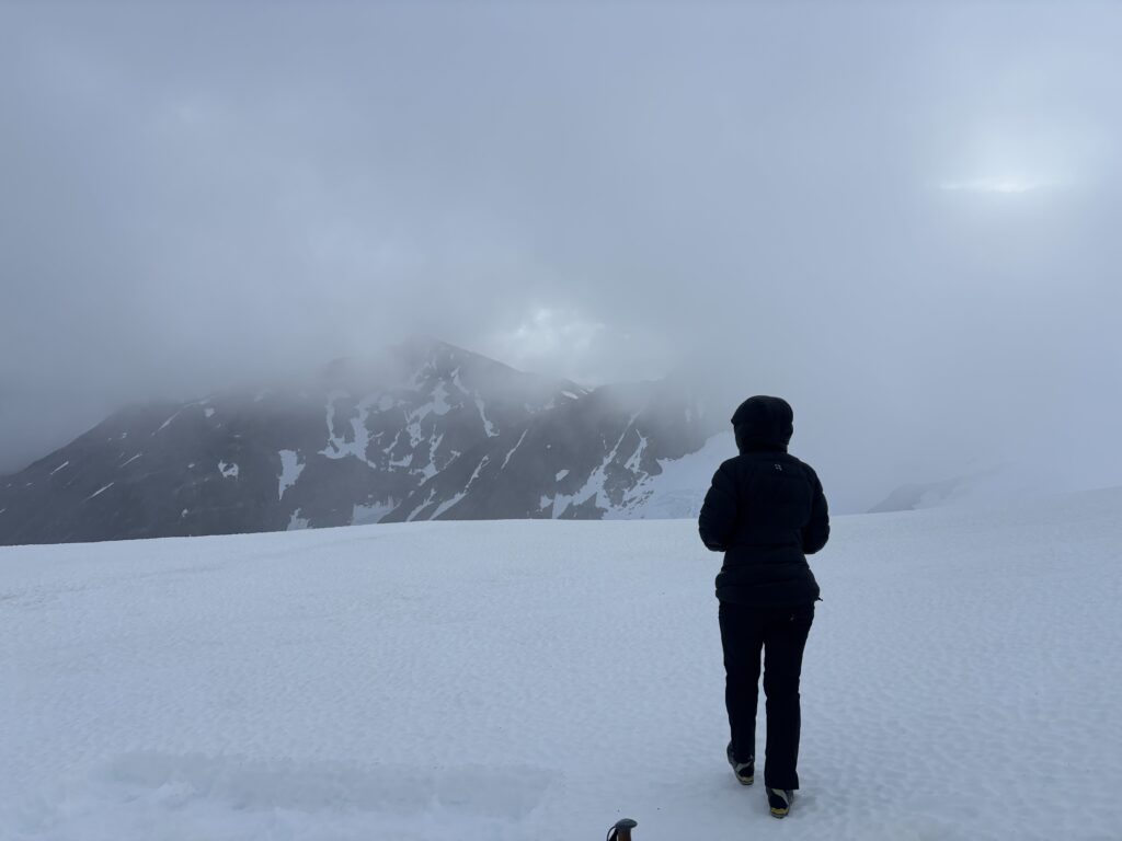
Eventually we warmed up and I managed to get a bit of food down. The days suffering wasn’t quite over yet though! While moving around in the tent my legs began to cramp intensely. It then dawned on me I had neglected to drink any water all day while we had pushed on through the storm. I quickly rectified that and laid down for a brief bit of rest. Not long after Andrea’s head was smacked through the tent by a mysterious force. After feeling through the fabric we determined the culprit to be a large block of snow… I peered outside and saw that the all of the structural elements of our wall had melted through! The remaining blocks were teetering precariously and ready to leap for us through the tent. I got out again and kicked the wall down. We’d lost our shelter but gained a different peace of mind. That ended the nights troubles and we passed out.
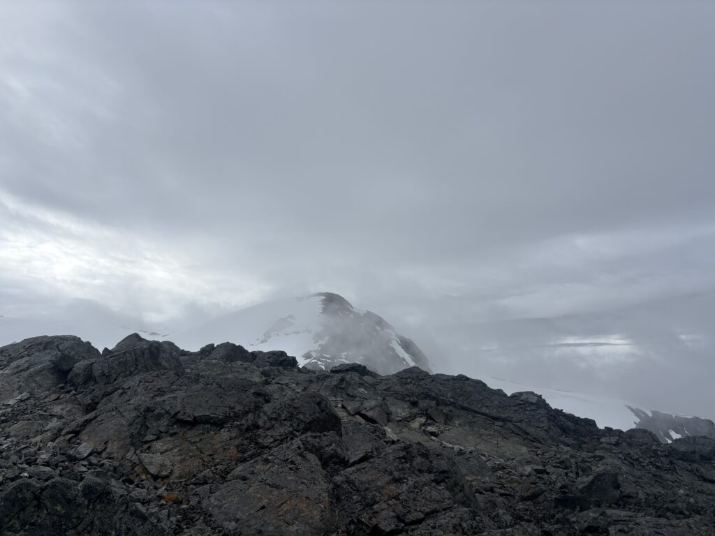
On the following morning we awoke to no rain. The clouds still loomed but occasional breaks appeared and we even managed a glimpse of Foresight Mountain and Tipso Peak. This looked like the best it would be all day, so we started to pack up. I could not conjure up the will power to put on my soaked clothing and made the risky call to put the last of my dry layers on instead. Andrea followed suit, but I was confident we would be close to the lake at low elevation the very worst today. In that case no dry layers would not be as consequential as staying up this high.
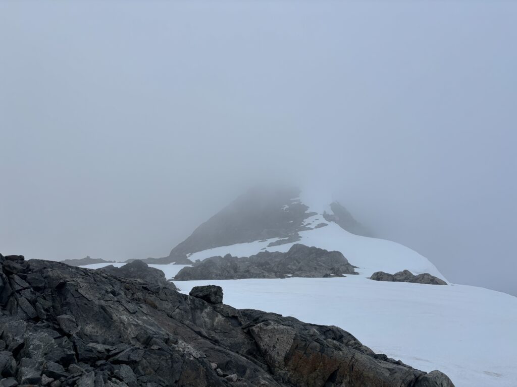
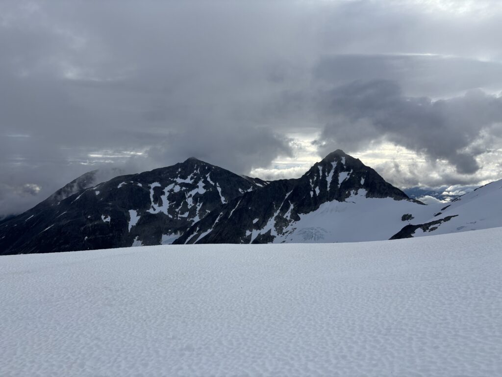
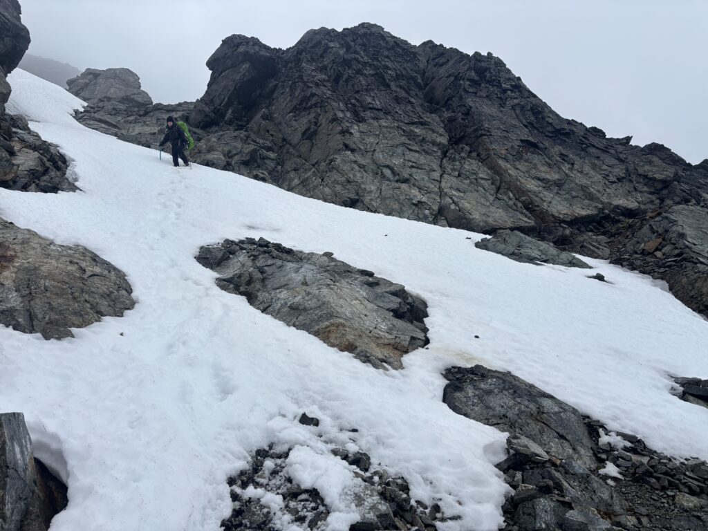
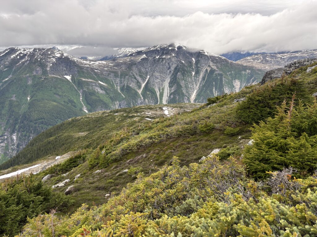
With our gear packed we made strides towards the final summit of Peak 7400. It had looked steep from afar wherever we caught fleeting views, but there was a lot of uncertainty about the rock. Sure enough, as we reached the steepening narrow ridge we encountered more slick 3rd and perhaps 4th class rock. In a turn of luck as we were beginning to question the route altogether the clouds broke below the ridge and we spotted a long gully that would bypass the peak altogether on scree slopes below. Neither one of us took even a second to settle on the new found option. We quickly reversed our tracks and located the gully in the thickening clouds. After an uneventful descent we found ourselves below the cloud layer with a long side hill on easy terrain ahead. I let out a big sigh of relief and from there it was all smiles as we traversed around the west side of Peak 7400.
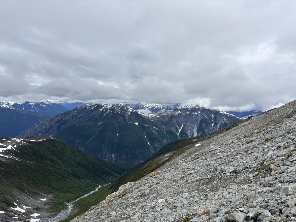
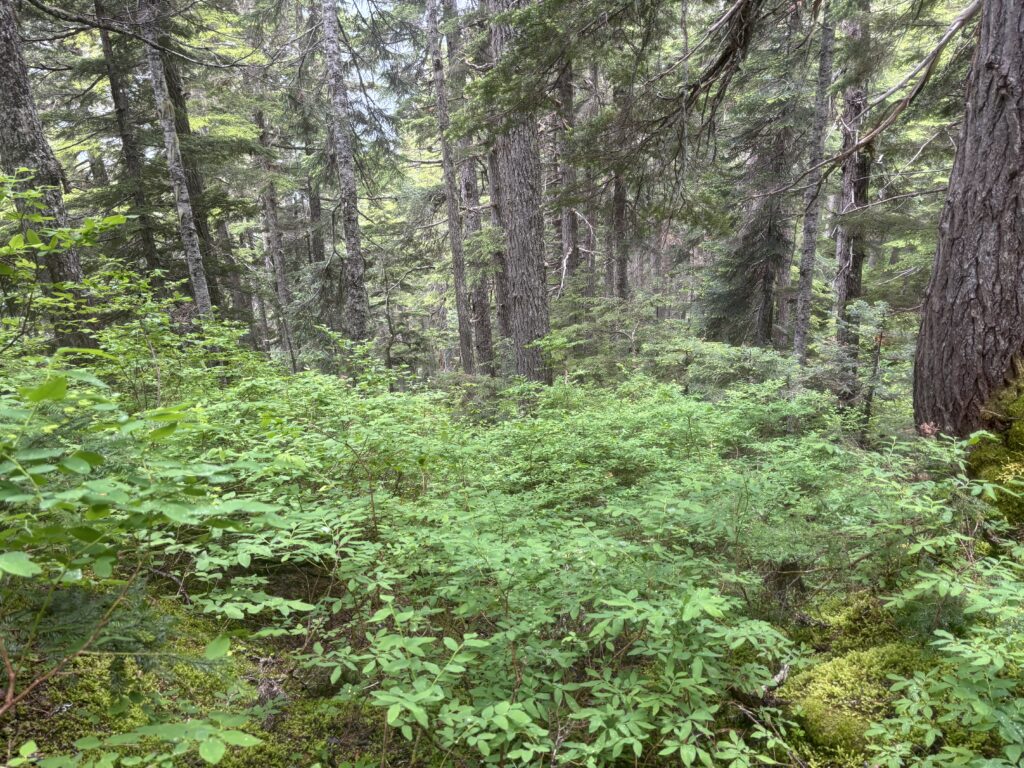
At this point, we were a bit behind schedule for our 12pm pick up at Kimsquit so we pushed the time back to 12:30 and then continued on to the verdant green heather slopes above Kimsquit. We descended down into the sub alpine and eventually reached tree line. Here I had gravely misinterpreted Mark and Mike’s report. They had made mention of relatively easy and bush free terrain to the lake and at this point I thought it’s a walk in the park to the lake. As it turned out their report actually stated that the last few hundred meters to the lake were bush free and in any event they had taken a completely different line and pick up spot at the lake; almost 2km further north east.
As we descended through steep forest and slick dirt covered routes, bashing our way through bluffs and various patches of bush, I begin to wonder if I had misunderstood the report. The going was slow and it was becoming evident we wouldn’t make our 12:30pm pick up. At a last resort we went out a final message 10 minutes before Tweedsmuir Air’s planned take off at Nimpo Lake to delay to 1pm. In the dense forest we never received a reply and pressed on under the assumption the message was never heeded. Naturally that lead us to a chaotic and frenzied push through the forest in an effort to reach the lake in time. Despite our best efforts we simply couldn’t dispatch with the elevation fast enough. At about 350m above the lake we got cliffed out having travelled to far west and not enough south. Right at this time the distinct sound of an airplane engine filled the valley. Stress levels raised and an all out push was made to get around the cliffs. After traversing up slope and south a ways we eventually found our break through the cliff. Our ride touched down shortly after and the call was made for me to rush ahead and try to flag the pilot down.
I ran, stumbled and rolled my through the last steep part of the forest and eventually hit the shore line. Unfortunately, the shore was flanked by 2-3m cliffs all around the perimeter and trees jutted out over the water blocking any view the pilot might have me. I tried hanging off a tree, yelling, waving and even considered jumping into the water to get their attention. Thankfully, the pilot soon shut off his engine and coasted to the shore we planned to get picked up from. With the door open they finally heard my frantic yelling and at last we had secured our ride.
I found a small trail along the shore and bashed through a short section of bush after to our waiting pilot. I was surely a sight to see. Fully drenched, a mess of hair and leaves and exhausted from the race down hill. It was here that I found out the pilot had received our message and was prepared/planning to wait up to an hour and a half…. if only I had the foresight to have asked about their waiting policy before we left. Oh well, I was just happy as can be that they hadn’t taken off after seeing an absent pick up spot. I ditched my bag and ran back up through the forest to meet up with Andrea. She had made it most of the way down and we walked out together where I grabbed a few dropped items of mine along the way.
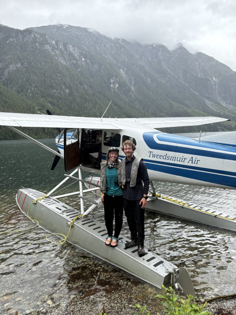
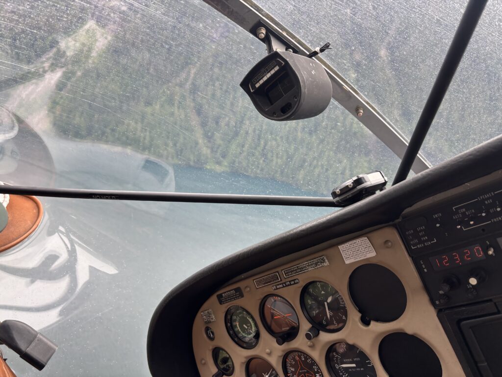
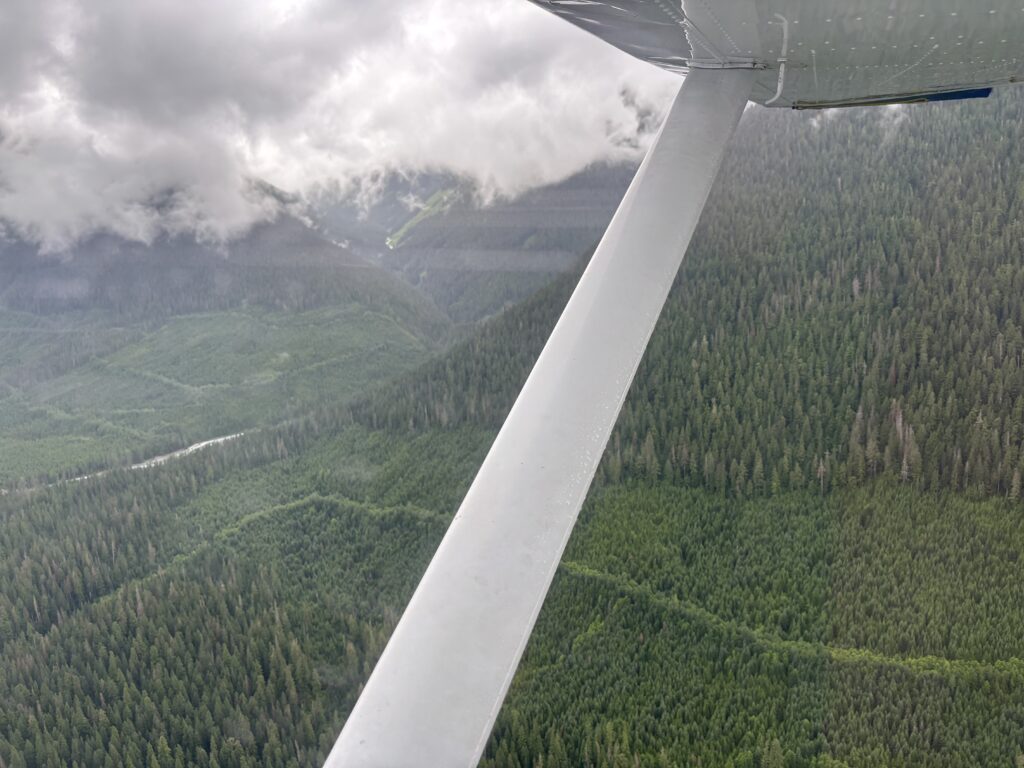
The flight out was wonderful and I had an hour to look out at future adventures and reflect on the one we had just completed. Nimpo Lake awaited us with sunny skies and the perfect conclusion to an amazing trip. In total we travelled ~80km across 11 different summits around the Kapella headwaters. Of those summits 5 were previously unclimbed. They are:
- Selachii Peak/Kepler Peak – 52.96167,-127.36000
- Hammerhead Peak – 52.92810,-127.33266
- Spiracle Peak – 53.05199,-127.29271
- Elasmo Peak – 53.03139,-127.29611
- Tipso Peak – 53.06722,-127.32417
I want to give a huge thanks to Mark Grist and Mike Buda for their very inspiring trip into this area, as well as Glenn Woodsworth for his insights and personal knowledge about the many peaks north of Bella Coola. Finally, this trip would not have been as memorable as it was without Andrea and her willingness to endure overloaded back packs and temperamental weather in an effort to explore new mountains.