Elevation Gain: 2,248m
Distance: 32.27km
Total Time: 1.5 days
Date: May 24-25th, 2025
My first attempted foray into the Kwoiek area (pronounced Kay-eek) was a total shutdown after running into a massive wash out from the 2021 floods. A year later I’d try again to access the area via helicopter only to be rebuffed by fire fighting operations. The road was repaired finally somewhere around 2023, but any time I’d have a weekend free the weather was sub optimal. So when Andrea suggested using a solid weather window to do Kwoiek Needle this past weekend, I had to jump on it. Even better, we found out there’s an old trail around the two lakes West of Kwoiek Needle and this might drastically reduce the amount of bushwhacking.
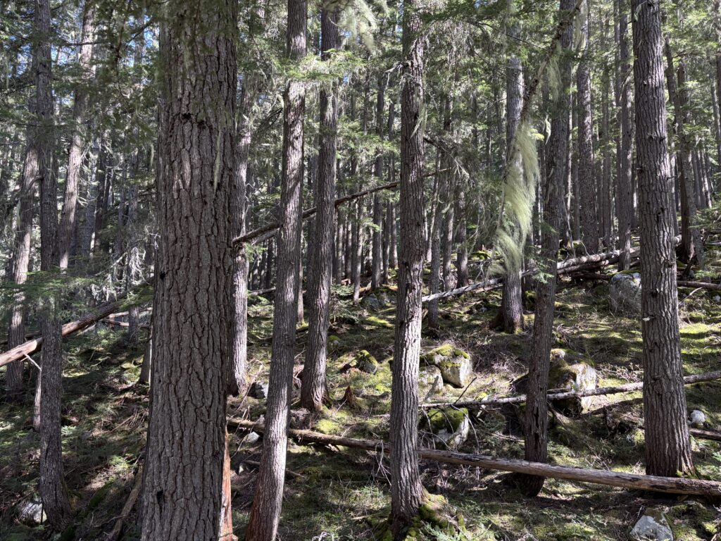
There was once a “heyday” for this area when logging roads were fully activated and ran quite high up both Kwoiek Creek and Log Creek. There were countless trips up to Kwoiek Needle itself as well as the Chociwa and Kwoeik glaciers. Now one can only drive to just past Kwoiek Lake (about half the total road distance) and Log Creek is even worse. So it was to our surprise to hear that the old trail on the west side of Kwoiek Needle was in somewhat decent shape.
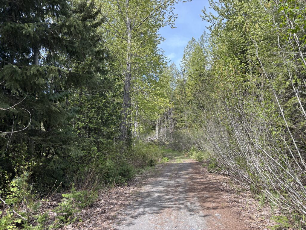
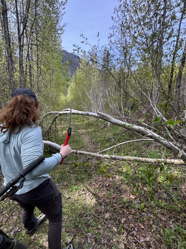
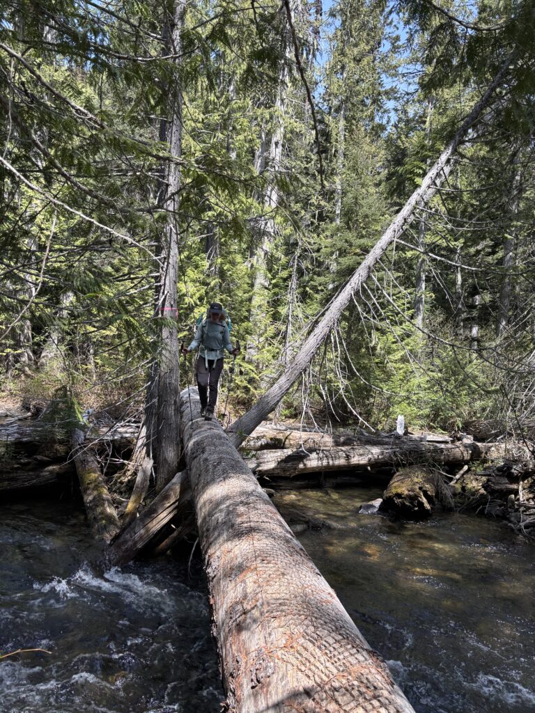
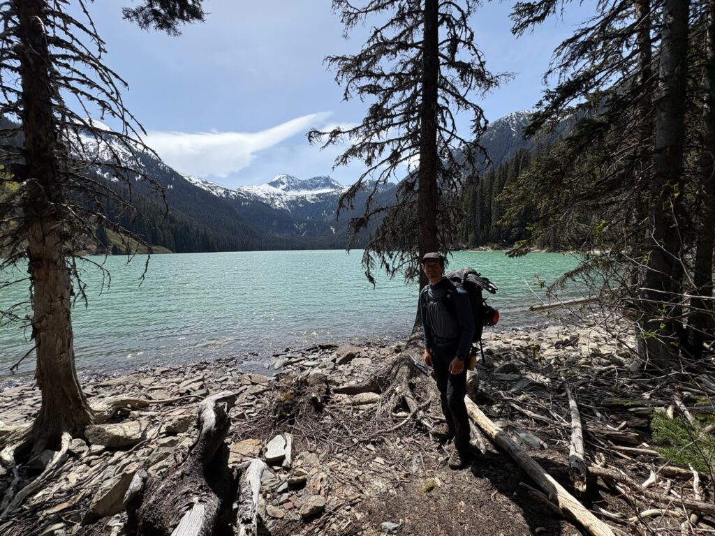
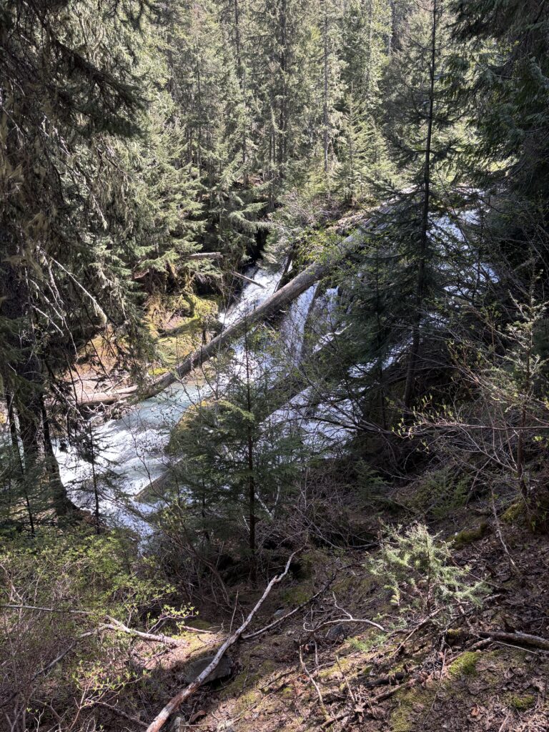
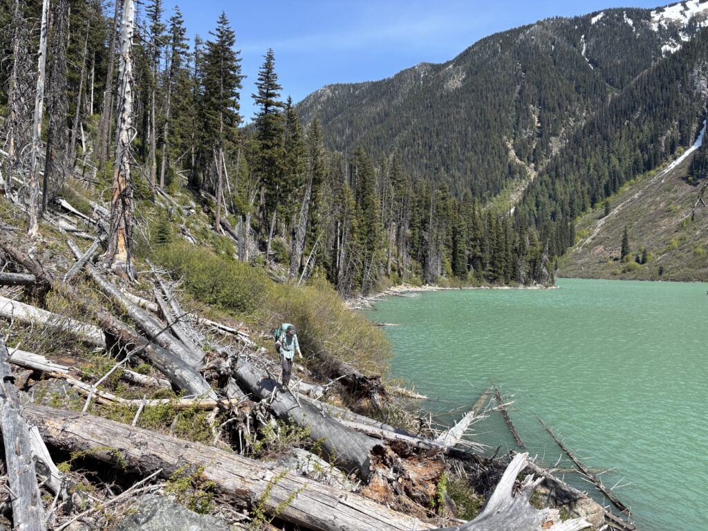
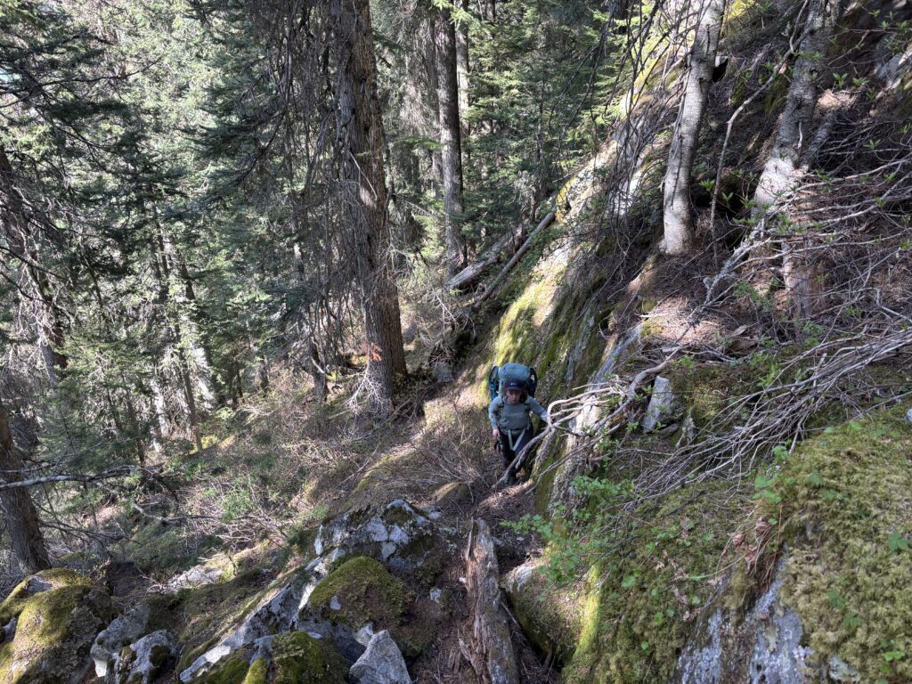
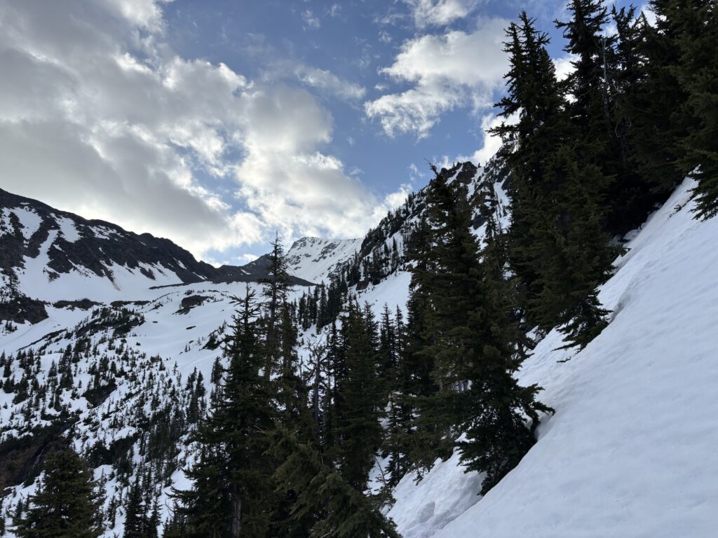
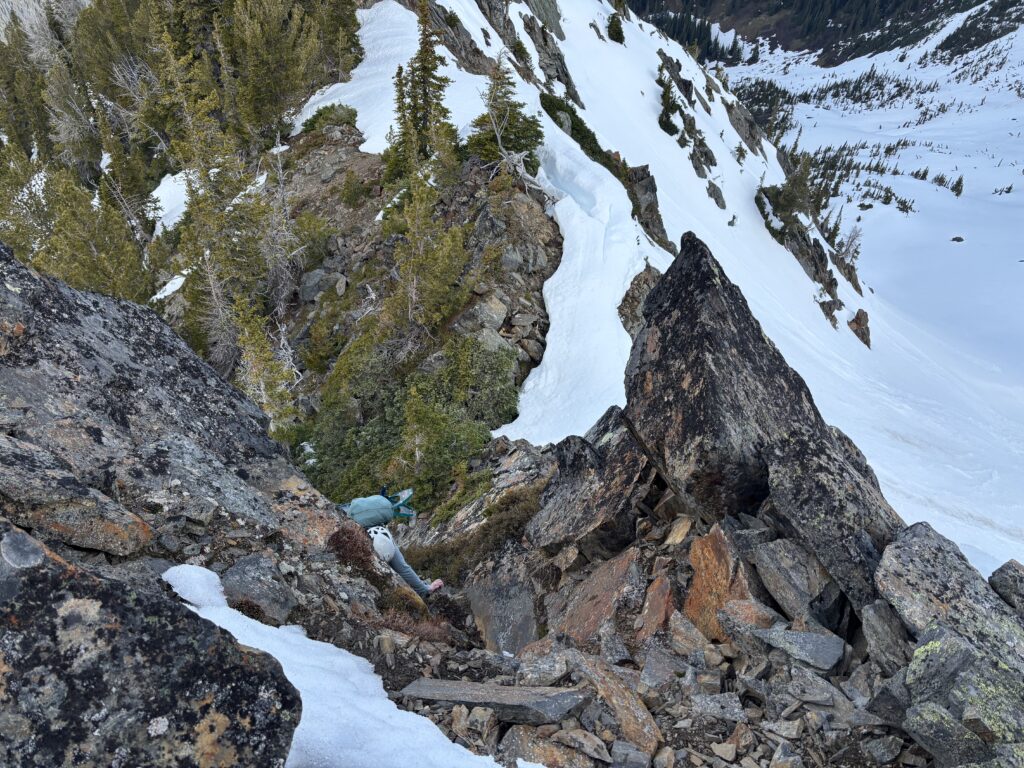
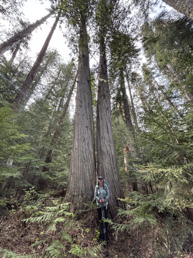
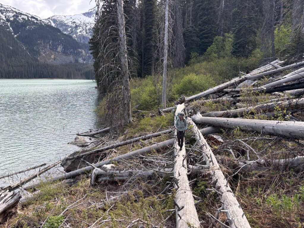
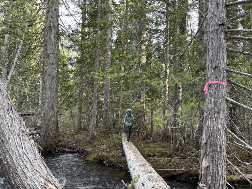
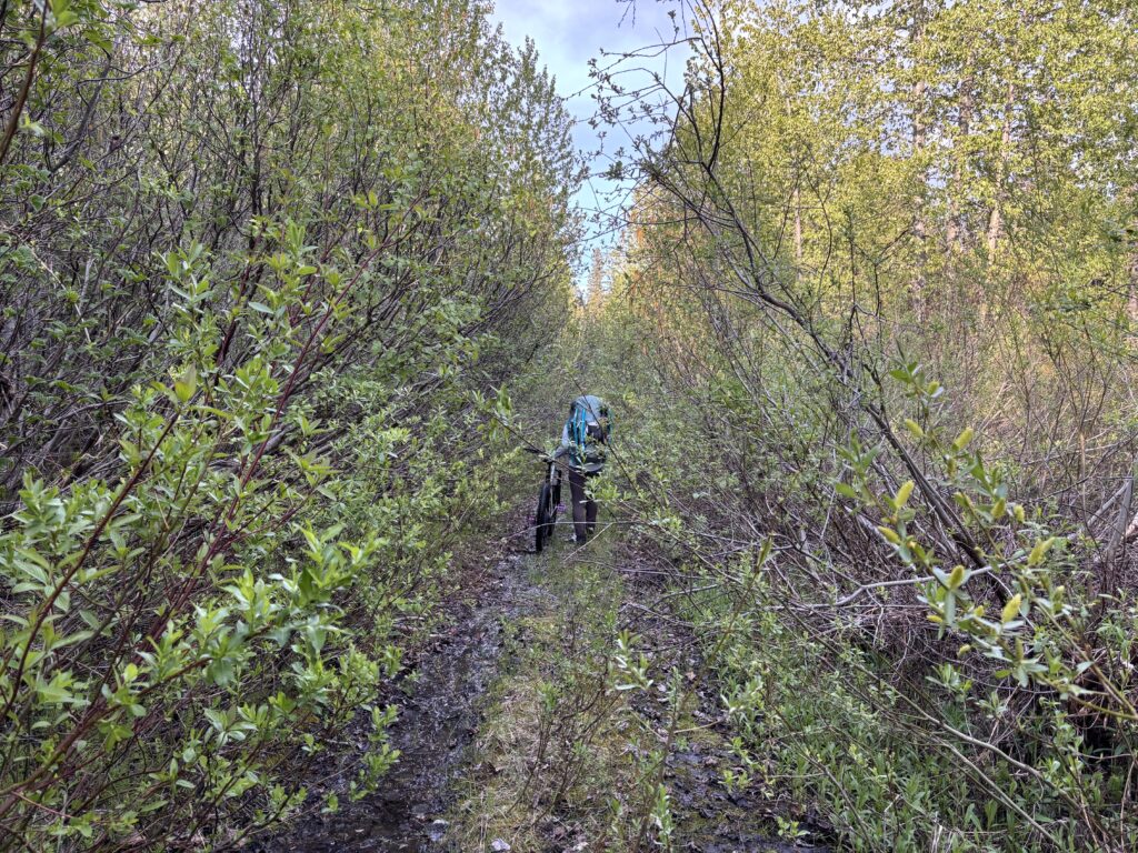
On May 24th we left Vancouver at a leisurely time armed with bikes, clippers, flagging tape and a saw. 4 hours later we were dispensing with a dense zone of alder around Kwoiek Lake and then progressed up to the washout just beyond. We biked up the overgrown road beyond and reached the well flagged start to the trail. After ditching bikes we made good time down to the first lake thanks to an easy to spot trail. As we traversed around the lake the conditions gradually became worse. We did as much trimming and devil club neutralization as we could, but by the time we reached the second like we had to leave the tools. The extra trail work was slowing us considerably, so we pushed on around the second lake through a particularly ugly section of blowdown and reached the other end of Chochiwa lake.
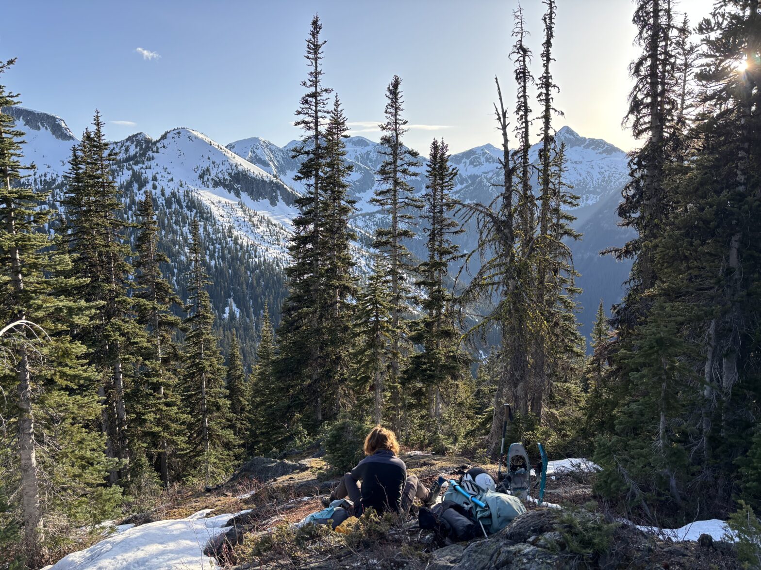
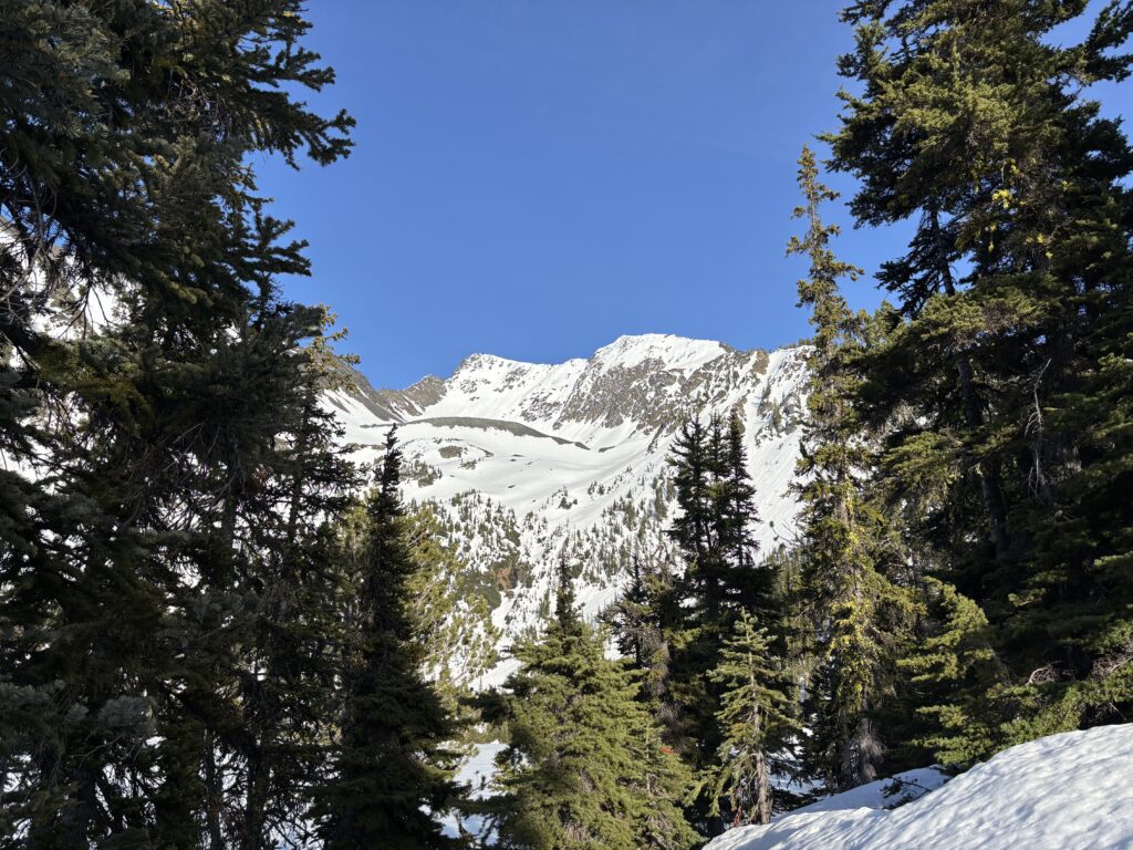
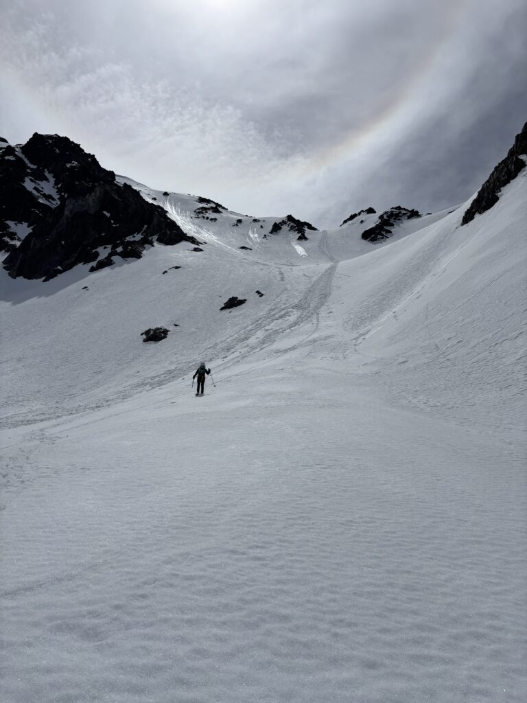
Now we went off trail and found a suitable place to cross the inflow of the lake, before bushwhacking up through some bluffs and up towards the Northwest rib of Kwoiek Needle. At around 7pm we reached the lake at 1800m below Kwoiek Needle and setup camp for the evening.
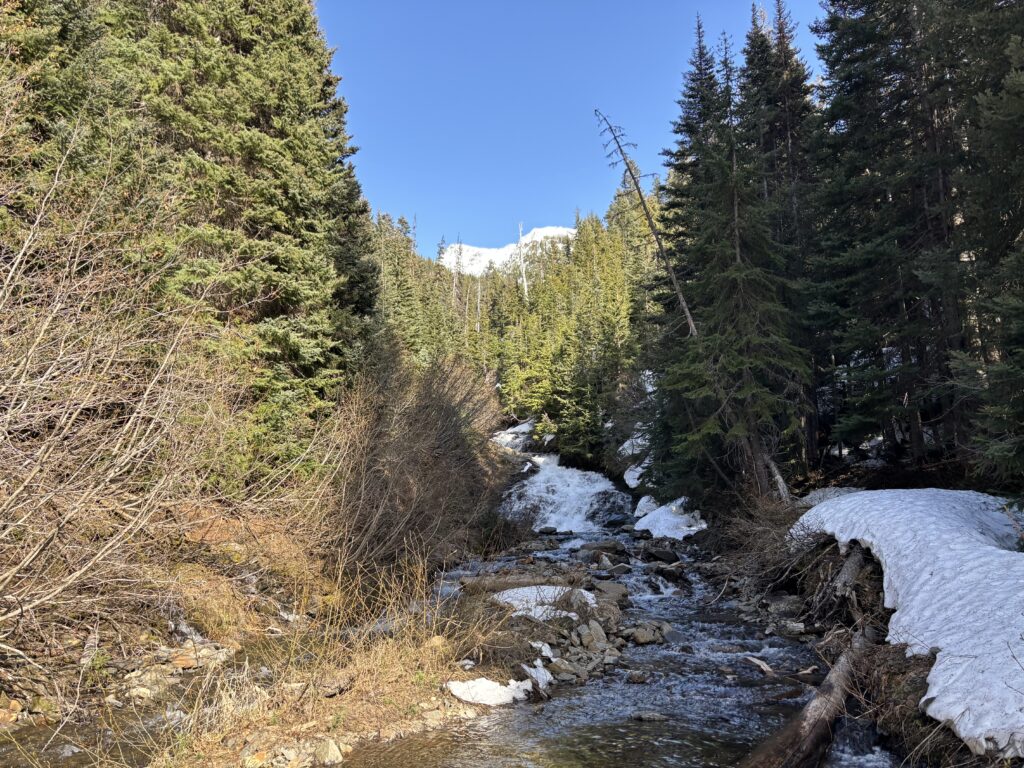

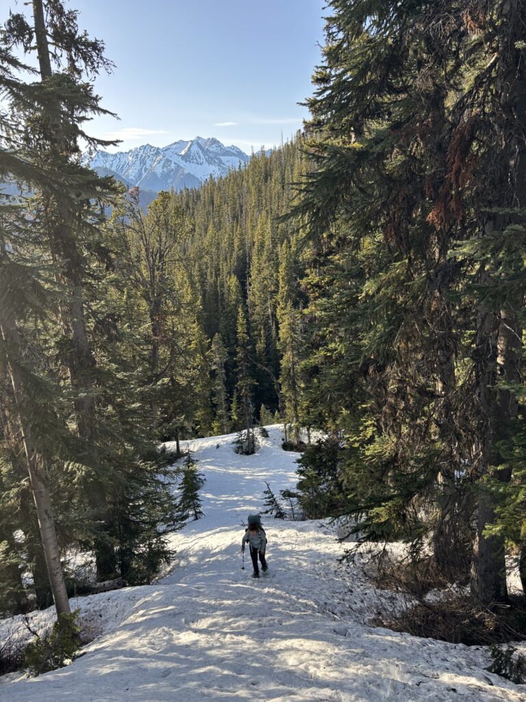
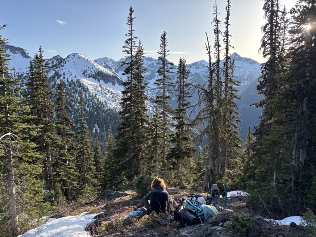
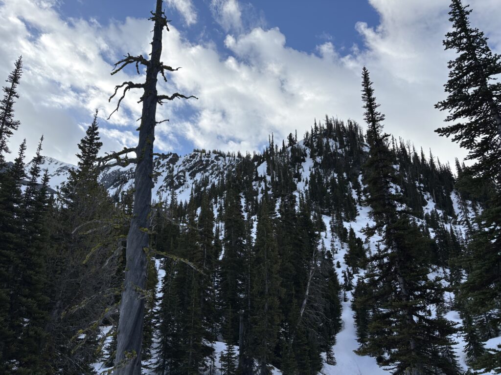
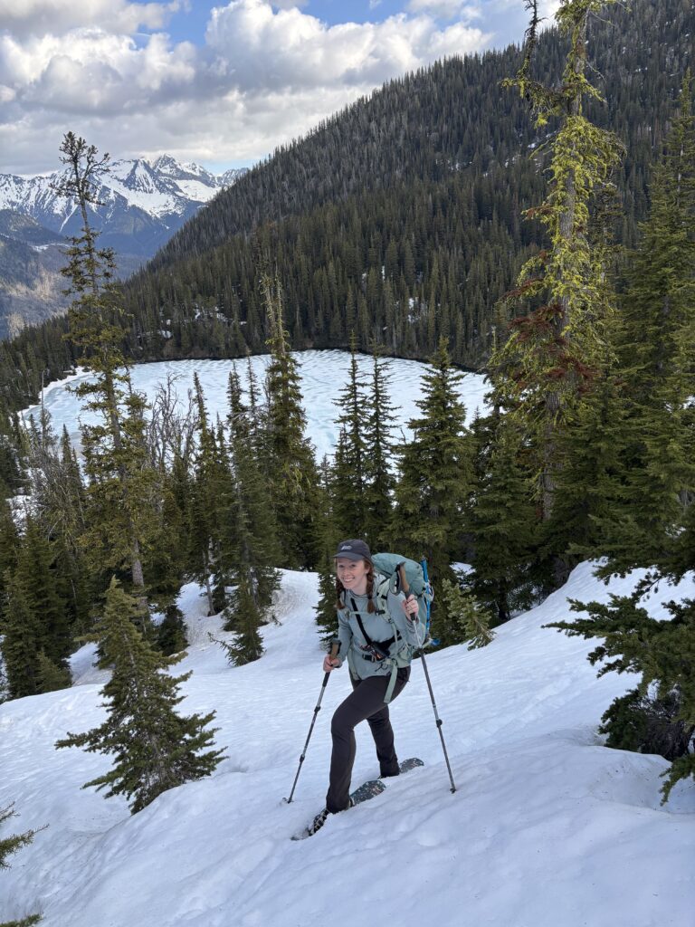
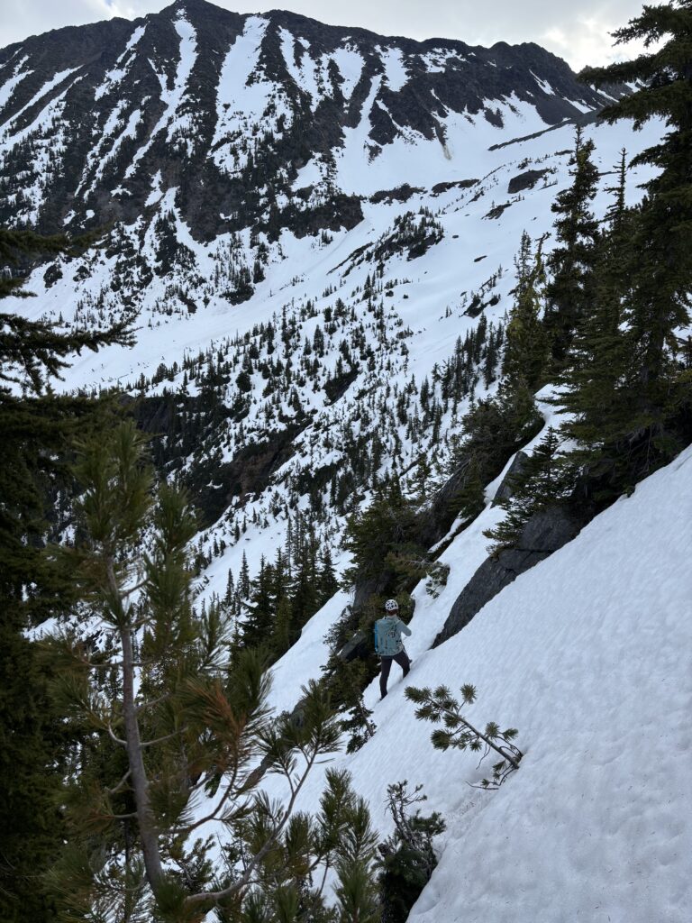
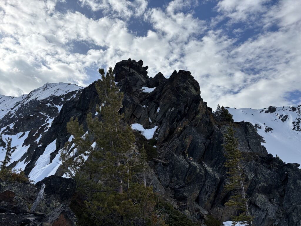
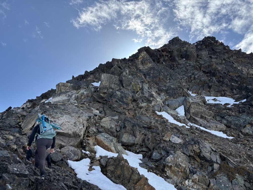
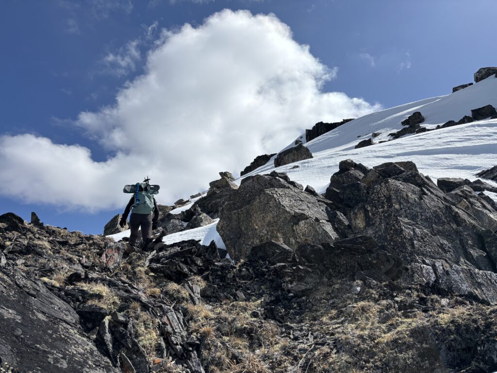
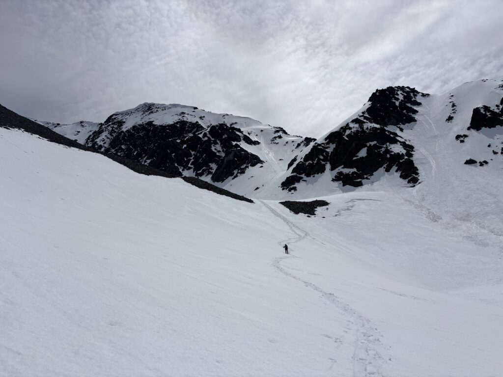
On the following morning we were moving again by 7am or so and snowshoed up a steep slope to gain the start of the Northwest rib. We had a few hundred meters of crappy bushwhacking with mixed snow and rock that made the effort tedious. Thankfully above 2000m the trees dissipated and we had dry rock all the way to the West ridge. The scrambling was quite pleasant, albeit on unreliable rock and we reached the West ridge around 10am.
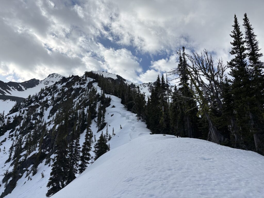
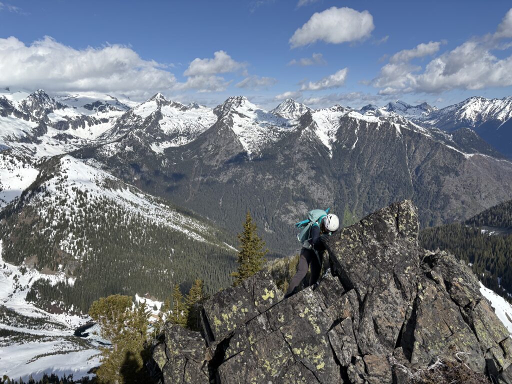
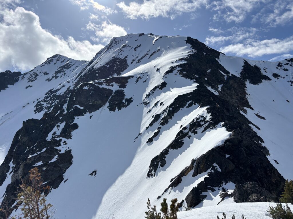
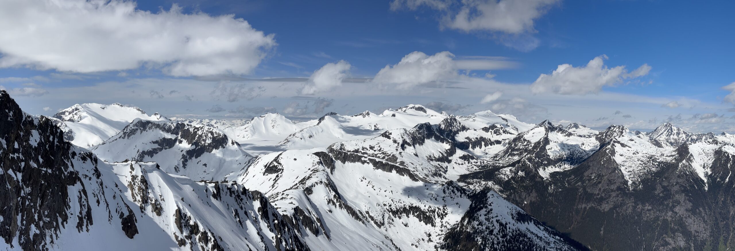
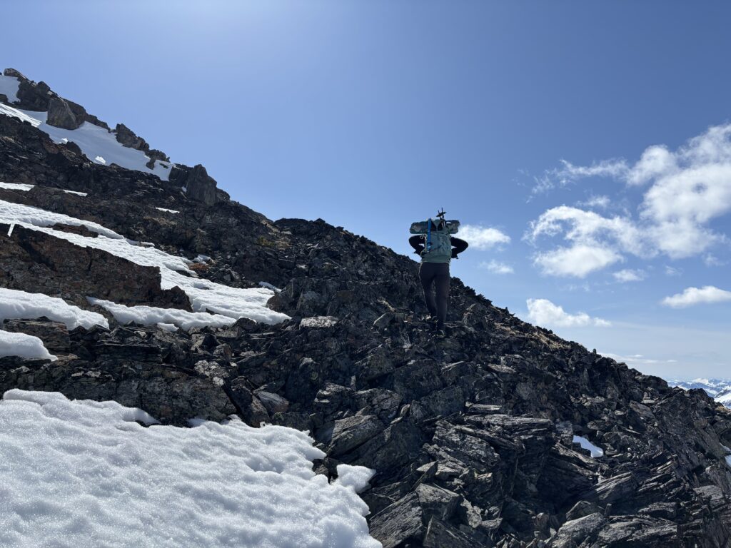
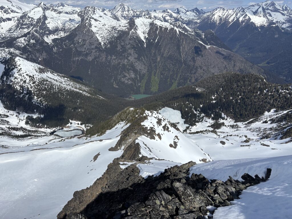
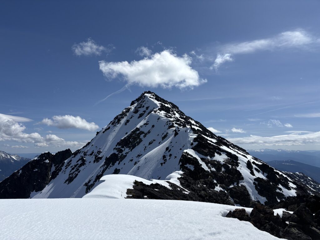
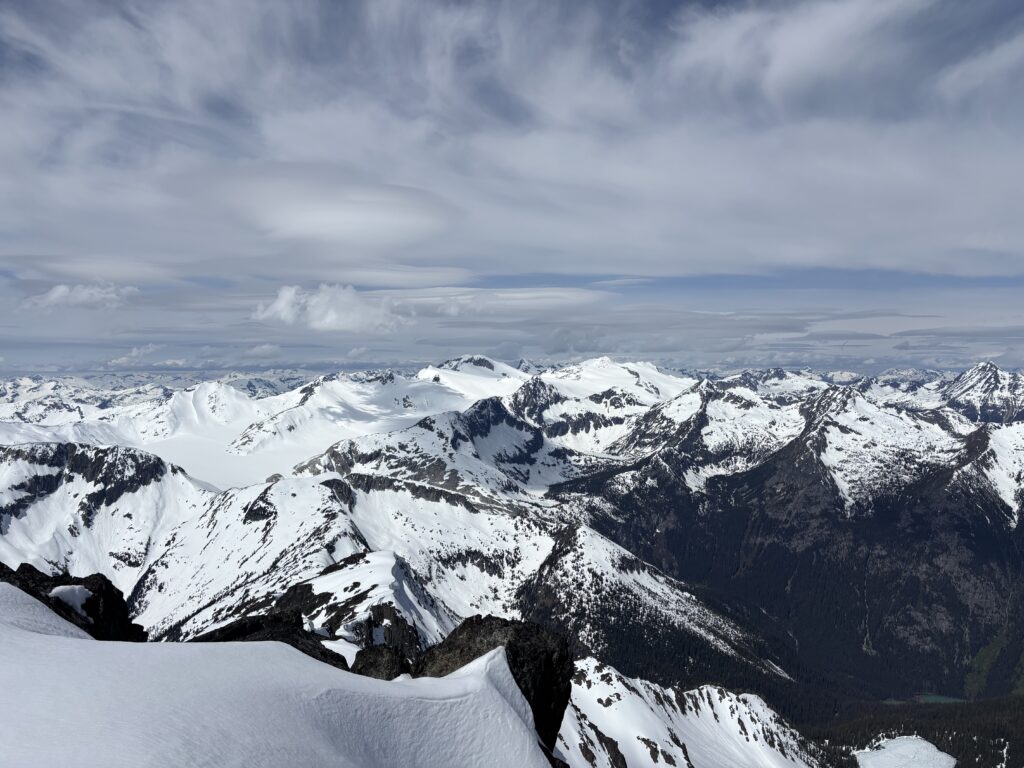
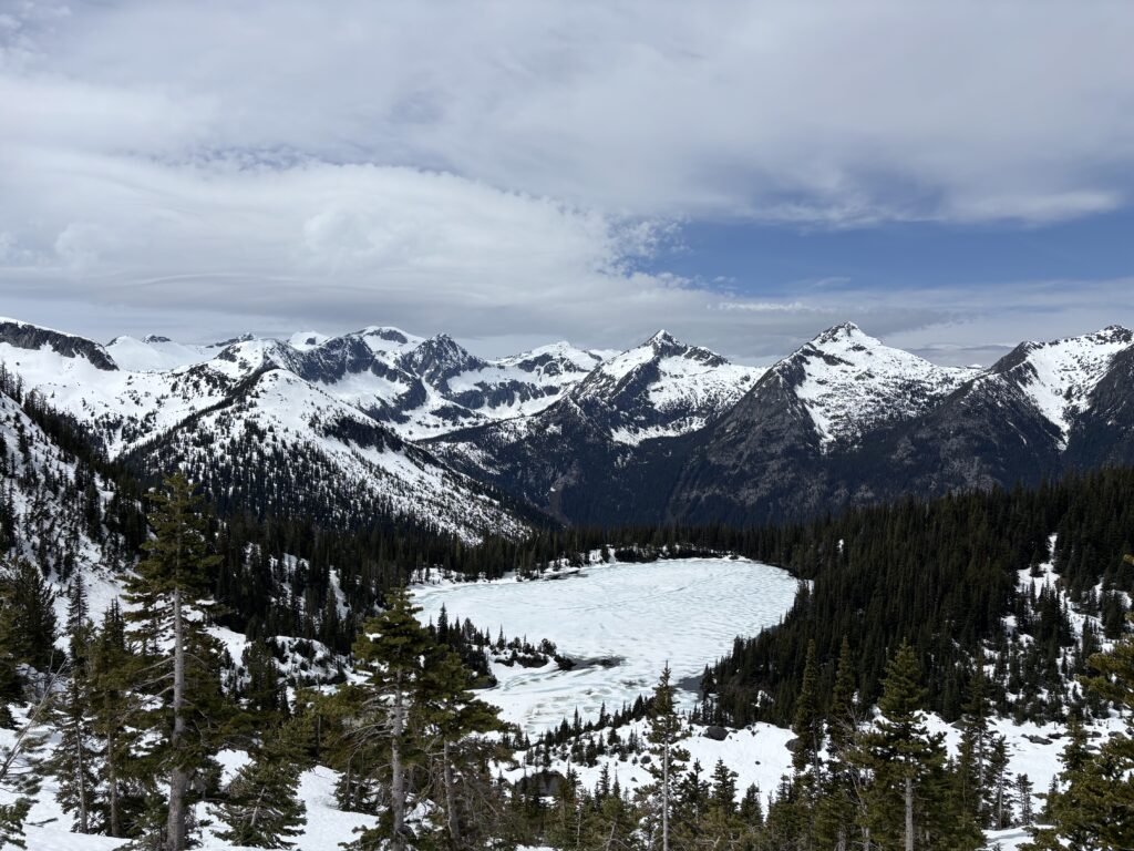
From here we scrambled up patchy snow and rocks to the foreshortened summit some 500 meters ahead of us. The wind had really picked up a notch and we didn’t bother sticking around getting rattled on the summit for long. We mostly retraced our steps back to the Northwest rib and then scrambled down only 200m or so before finding a perfect snow slope to glissade down. After reaching the bottom of the slope we took a tame snow bench all the way down to the lake and bypassed our steep ascent slope and that crappy bushwhack on the ridge. A win-win!

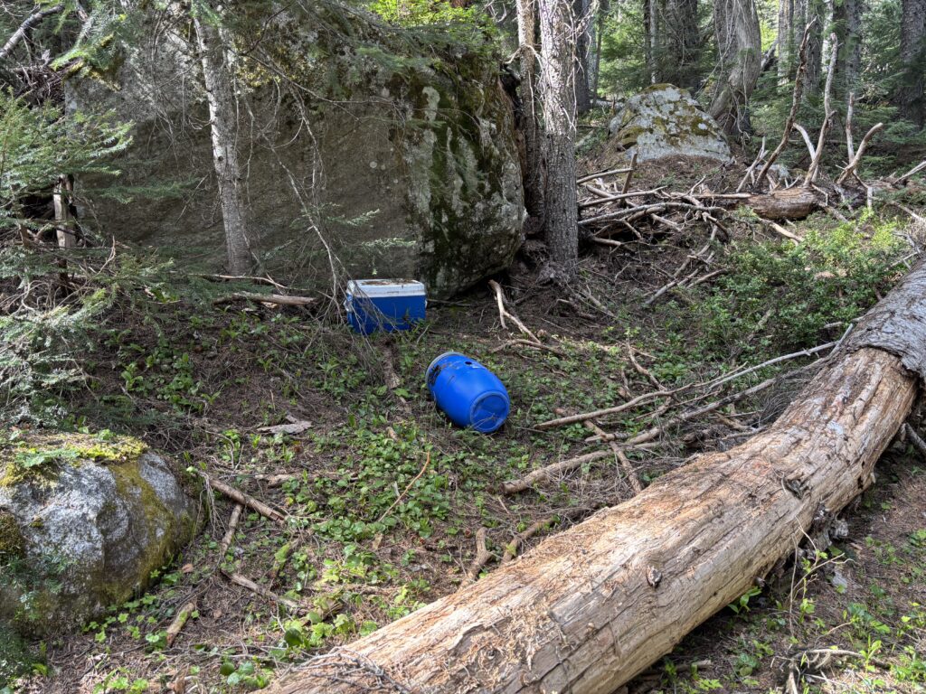
Finally, we packed up camp and made the long journey back to the bikes. The only noteworthy event was that both of our tools, left in separate places along the trail had fresh bite marks on them. We found fresh bear scat later on down the trail, but the culprit remains at large. Our bikes were unscathed and we had a long glorious downhill return to the truck.

I have to say this approach is better than bushwhacking, but it’s a long time in the tree line. The trail has had a tremendous amount of work done, but it’s fallen into some disrepair as of late. With some more foot traffic and few people armed with clippers this thing can totally be brought back to life. As it should too. The access it provides is phenomenal, so get out there and check it out!