Elevation Gain: 2,286m
Distance: 20.64km
Total Time: 13 hours 55 minutes
Date: May 4th, 2025
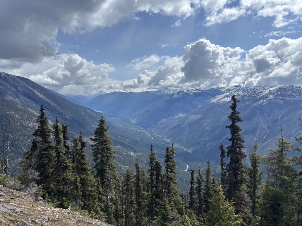
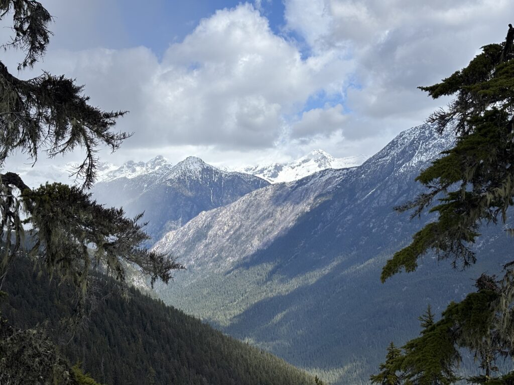
While surfing through photos on Bivouac.com one photo by Connor Trembley titled: “A Peak in Mystery: Mount Widdess” caught my eye right away. The photo made mention of an obscure peak which may be unclimbed. That was all the way back in 2010 and I thought there’s likely no way. Widdess is both officially named as of 1959 and is prominently visible from Nahatlatch FSR. Those two in combination must mean it’s been climbed, right? Well I searched through every BCMC Journal, VOC Journal and Canadian Alpine Journal and nothing showed up. There’s mention of Widdess in this clubtread post and of course John Clarke’s trip further north in 1989 around Gowan Creek. But other than that I couldn’t find any mention. Widdess is somewhat isolated from everything else and doesn’t logically tie into any traverses. The west side is exceptionally steep and bluffy while the east side offers a few opportunities. However, Widdess is flanked at the south by Mehatl Creek and Nahatlatch River and both did not seem fordable.
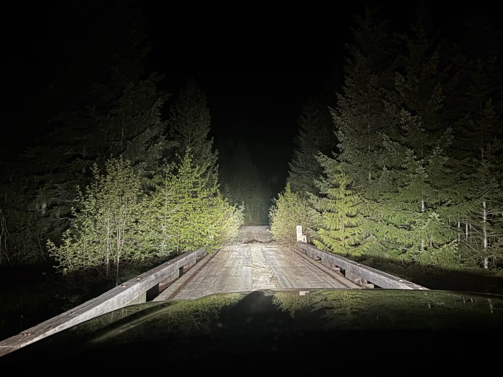
After all my research I was very eager to get into the area and see what the mystery was all about. In December of 2024 I did a failed recon mission up Groundhog Peak with Alex, Andrea and Trevor. Despite not reaching the summit I was able to get some useful info on Widdess and proved that the east side looked quite feasible. Finally, conditions would line up on May 4th and I was able to recruit my friend Steven to join me. I was originally planning to purchase some crappy inflatable boat in case Nahatlatch was not fordable, but Steven reminded me he had a high end pack raft. With that problem out of the way we set off on the night of the 3rd and car camped at the 41km mark of Nahatlatch FSR.
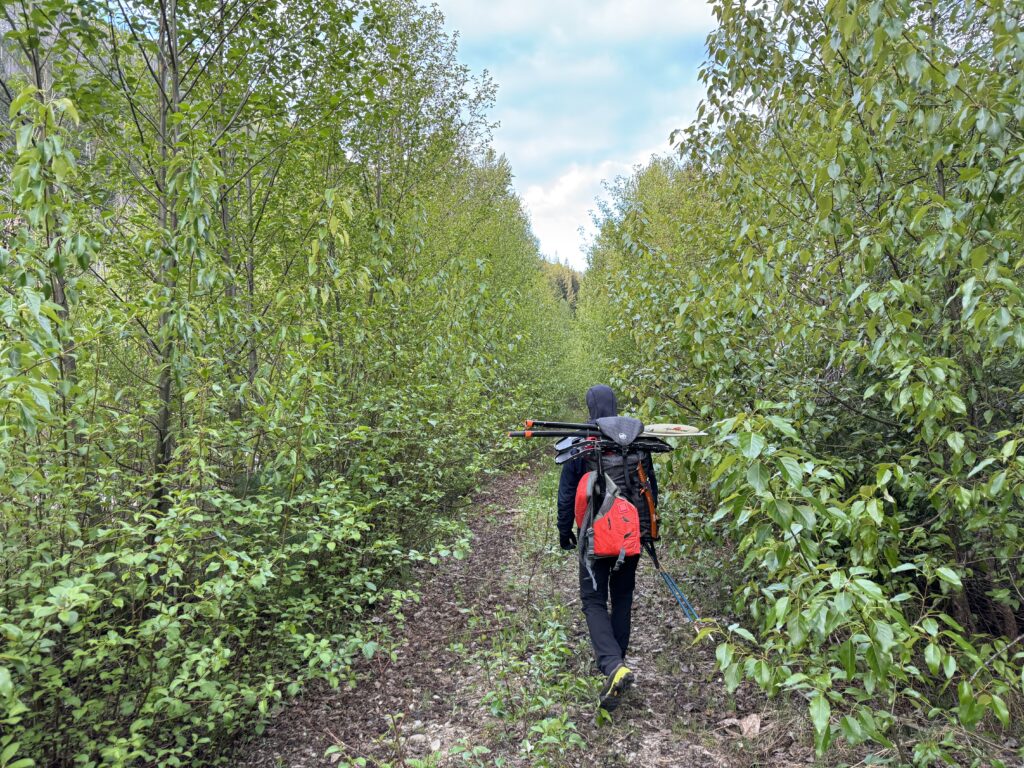
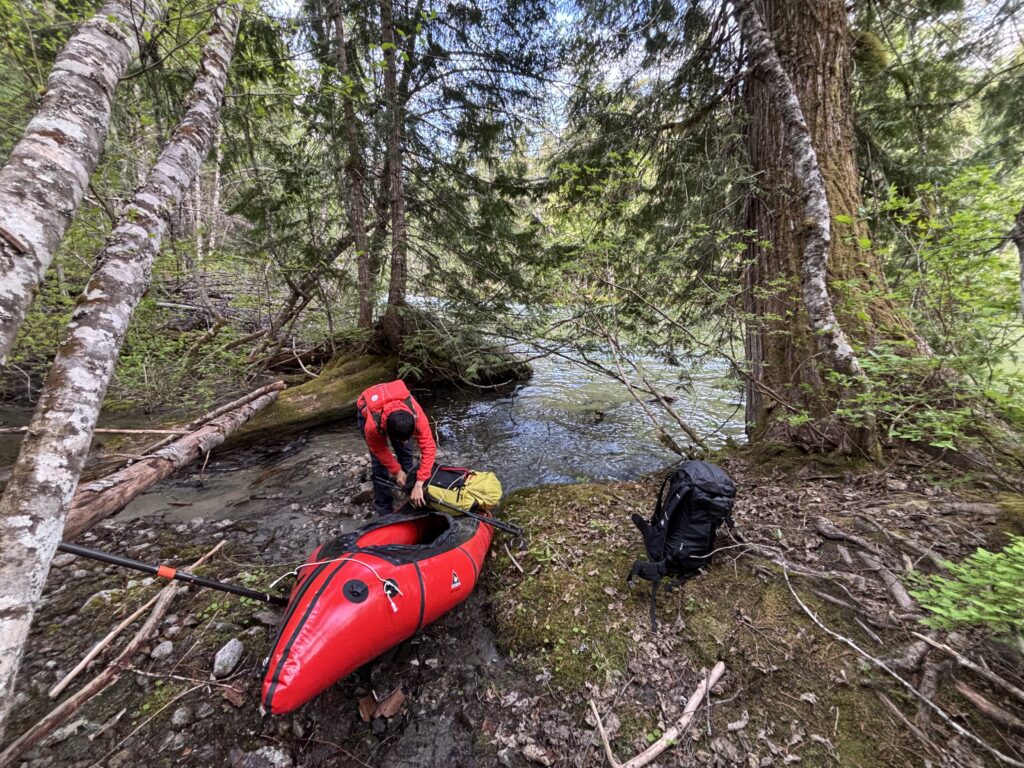
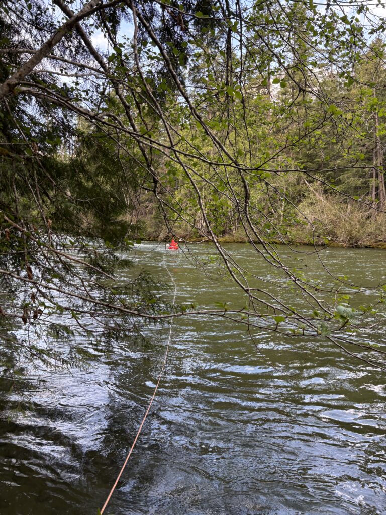
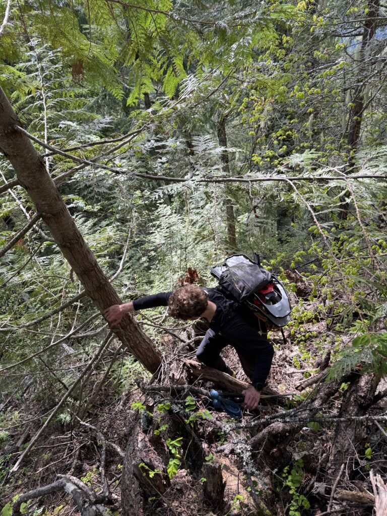
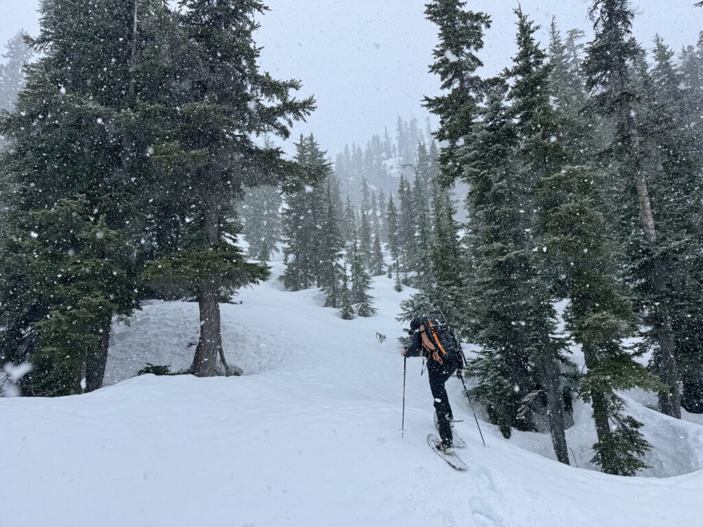
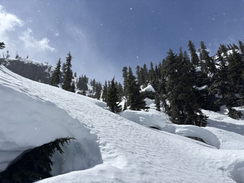
We awoke around 6am and hiked about 1km further down the road past the landslide before dipping into the forest. Here we found a reasonable spot to cross Nahatlatch. The packraft proved to be crucial as the river was flowing very quickly despite being over 40m wide and several meters deep at our spot. Further up and down rapids would have caused more problems.
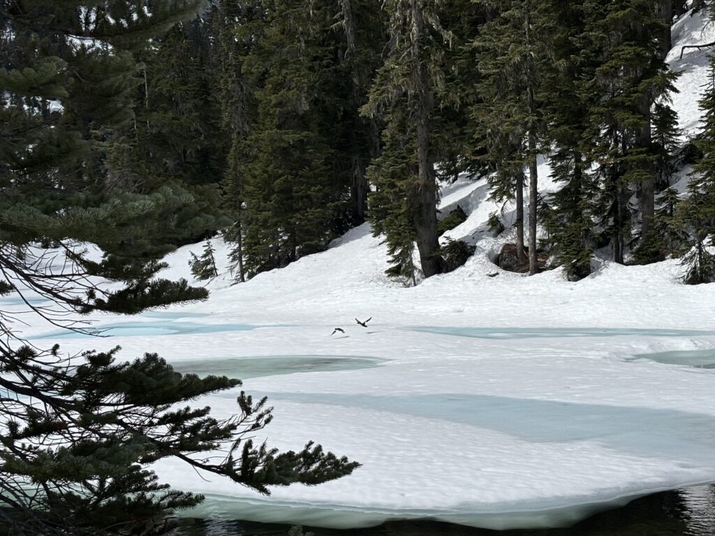
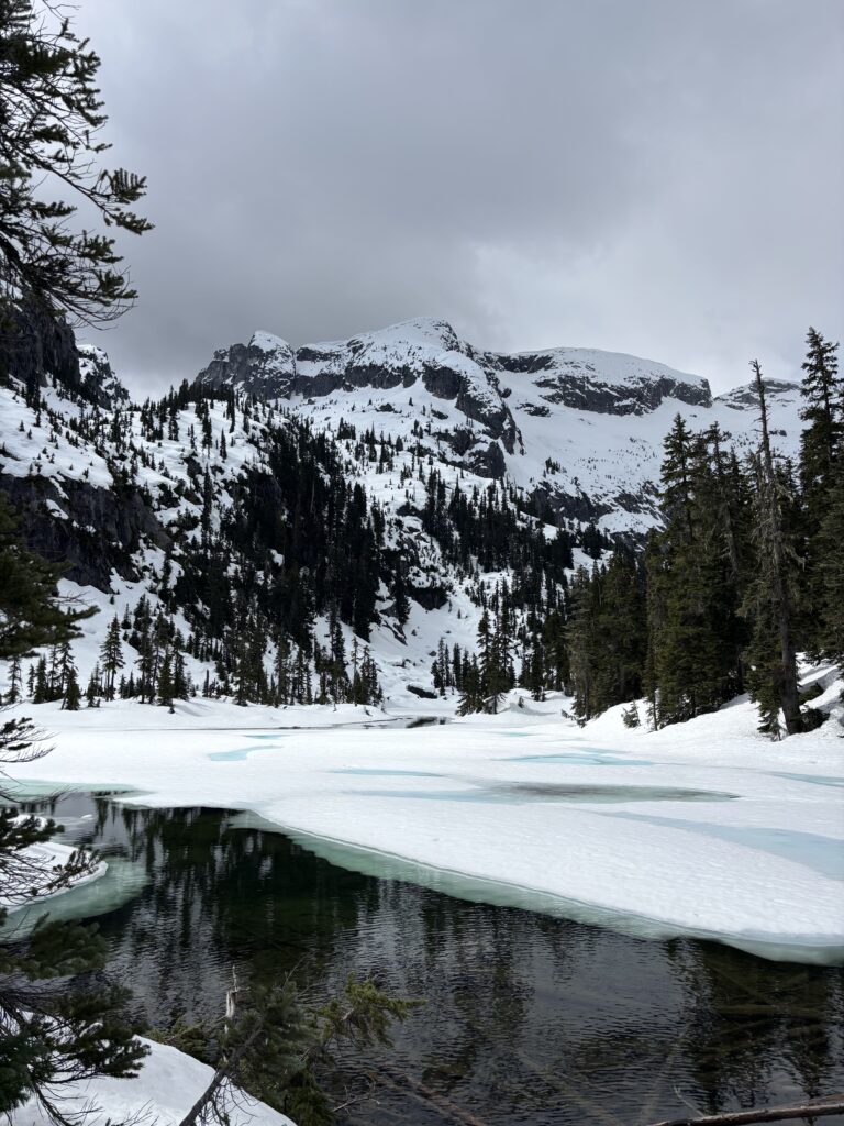
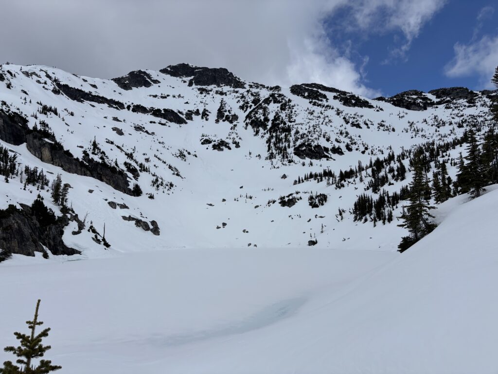
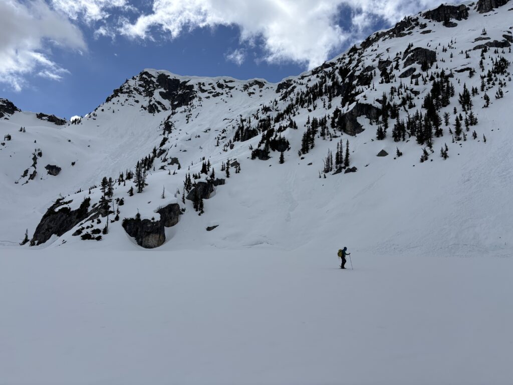
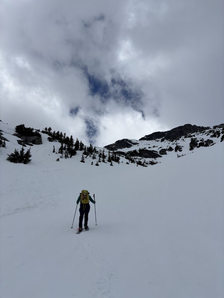
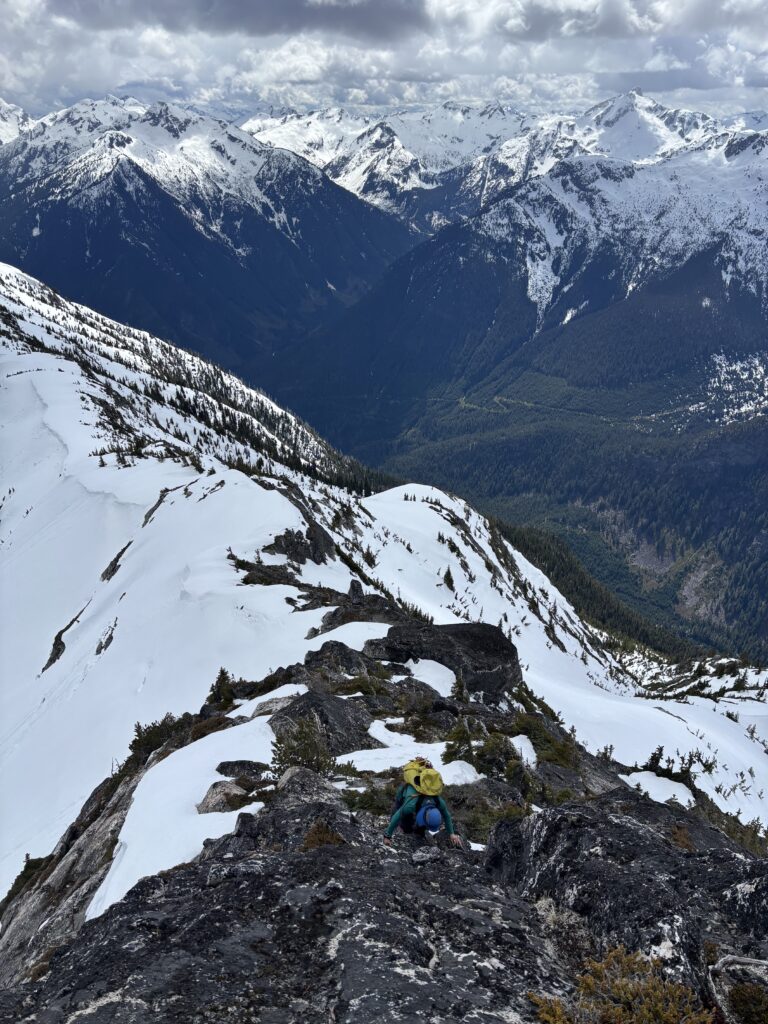
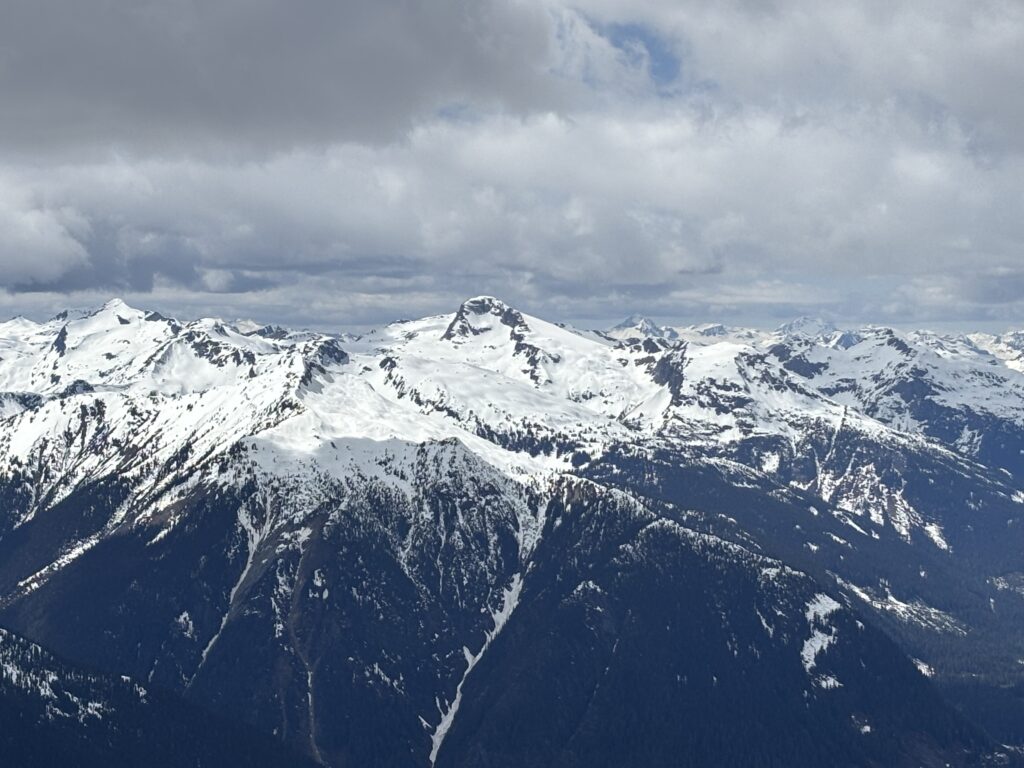
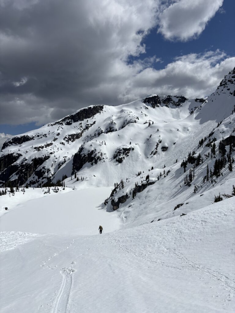
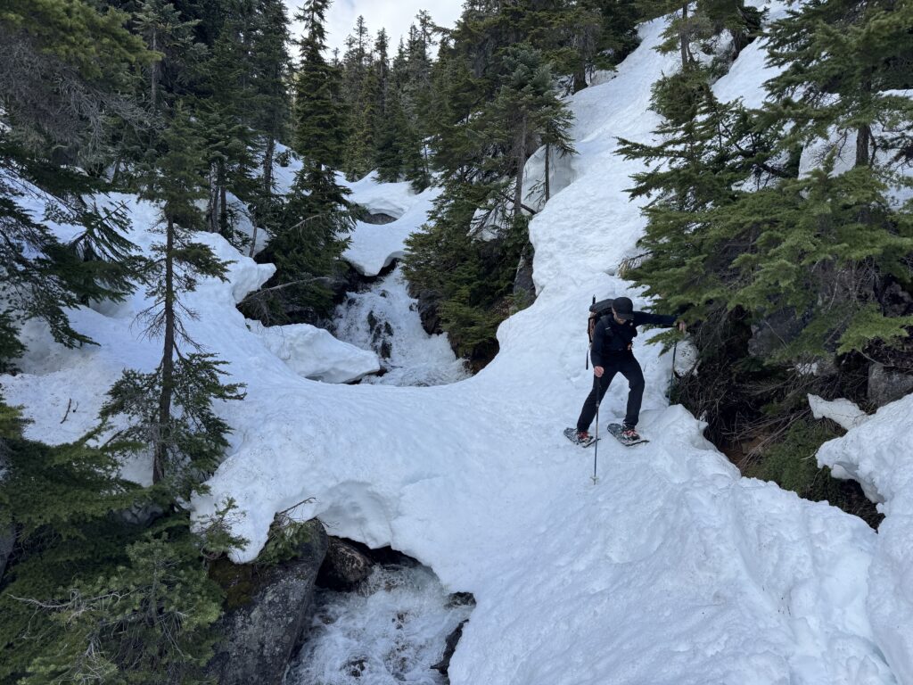
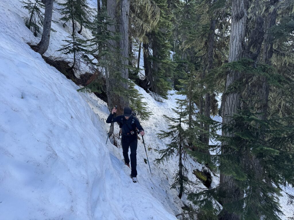
Steven set off first with my rad line fixed to the back of his boat and he crossed without too much trouble. I reeled in the raft and then set off as well. The crossing took easily an hour with setup but we were across at last. We hiked for a few more kilometers through a sort of peninsula between Mehatl Creek and Nahatlatch and then booted straight up the south face. After 1000m of hard earned elevation gain we hit the south east ridge at ~1350m. Here we crossed over onto the north side and traversed under bluffs to reach the first lake from the south.
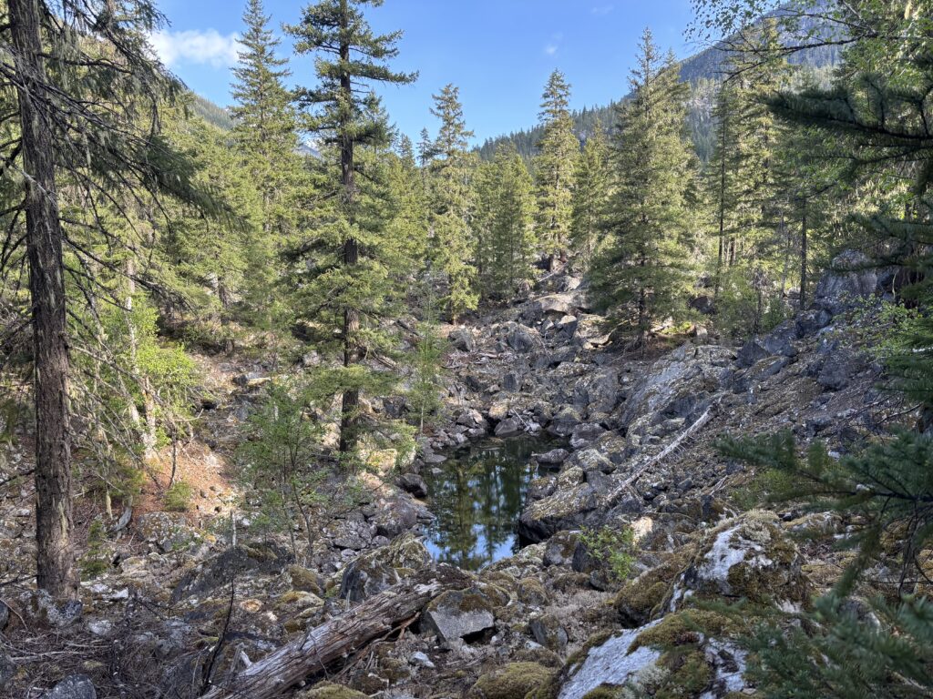
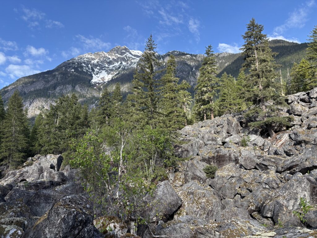
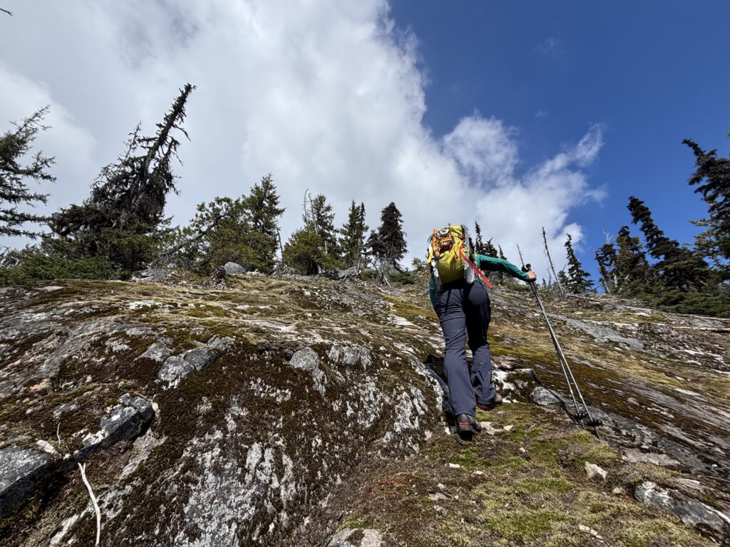
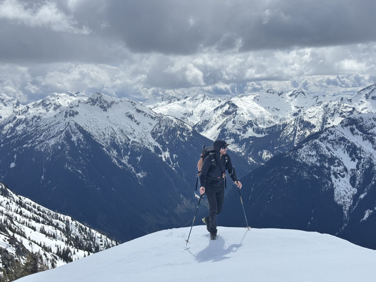
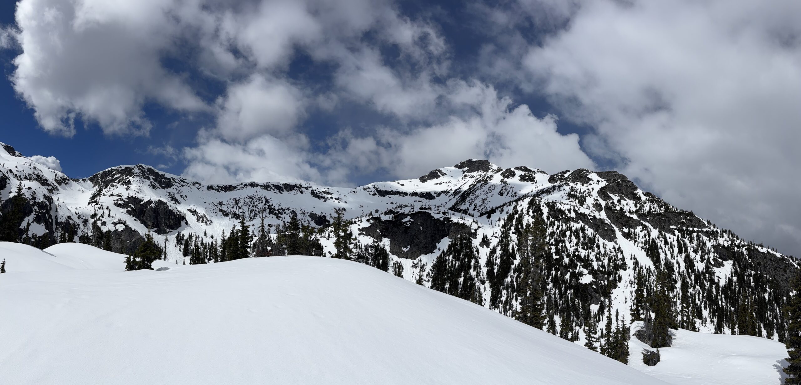
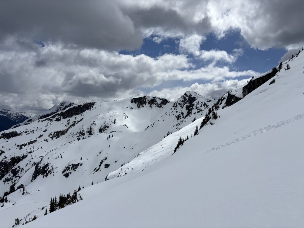
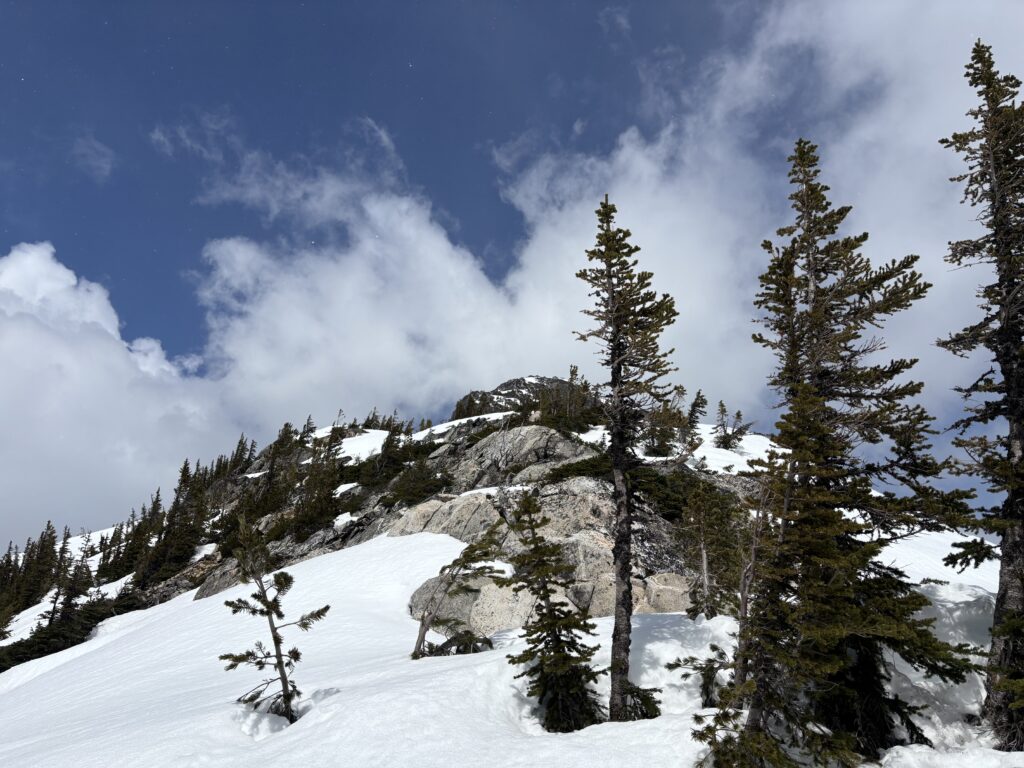
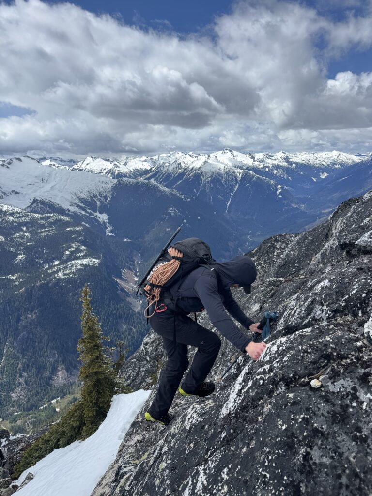
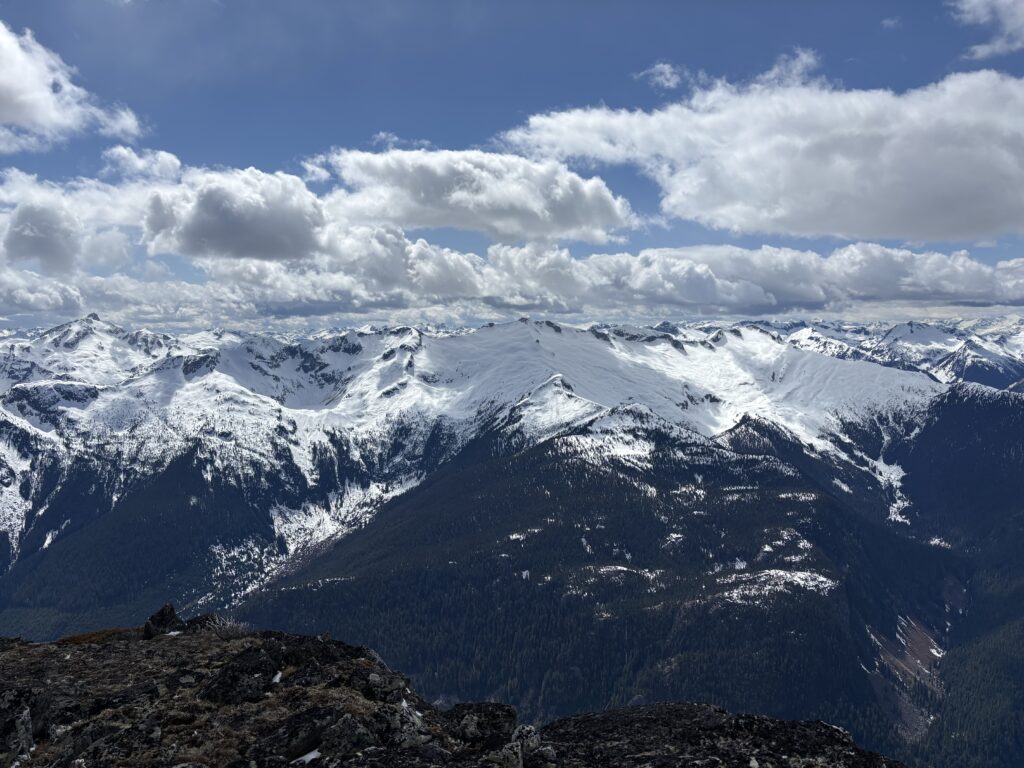
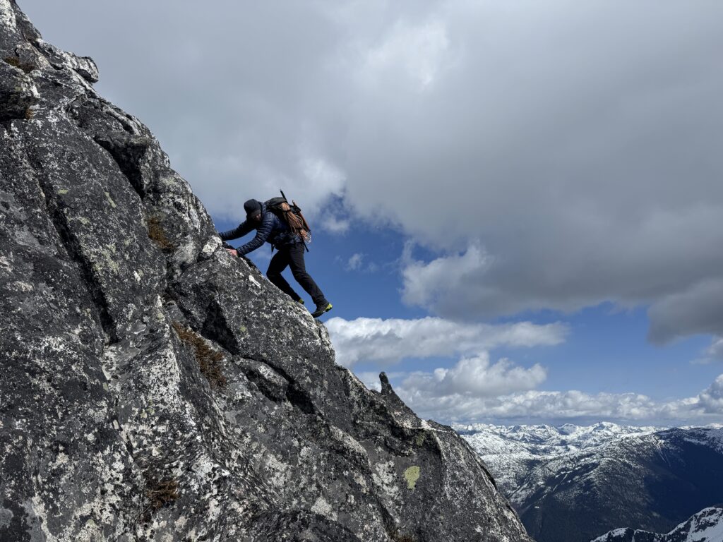
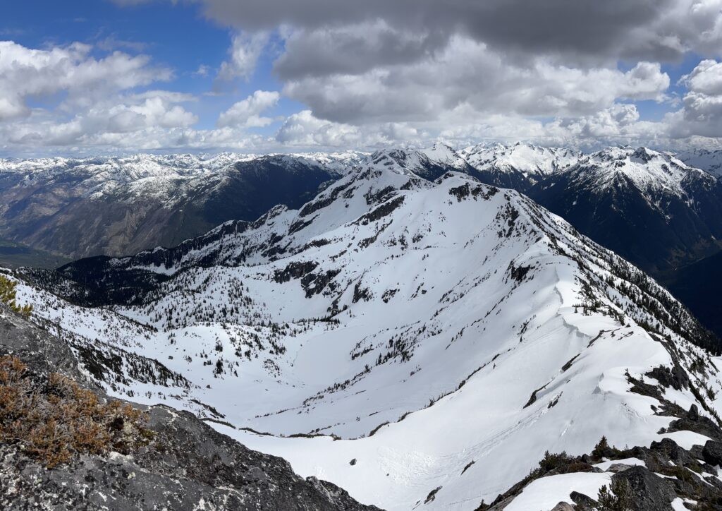
The terrain simplified quite a bit after this and we continued up through the south east basin passing two more lakes before reaching the final south east slopes up to the summit. My original plan was to go around to the north side where the terrain looked easier. However, Steven pointed out an obvious route up the south side so we opted for that instead. To avoid prolonged exposure on steep sunny slopes, we ascended climber’s left early to gain the south ridge at around 2000m. Above there looked to be some scrambling, but nothing overly challenging. We ascended the final 250m on mostly class 2 rock with one small section of 3rd class.


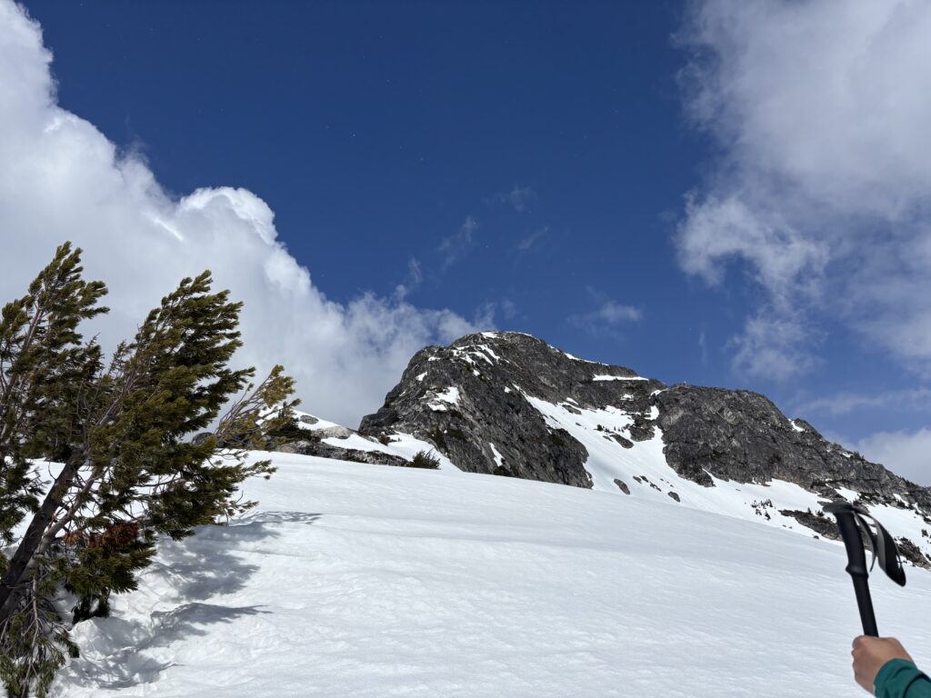

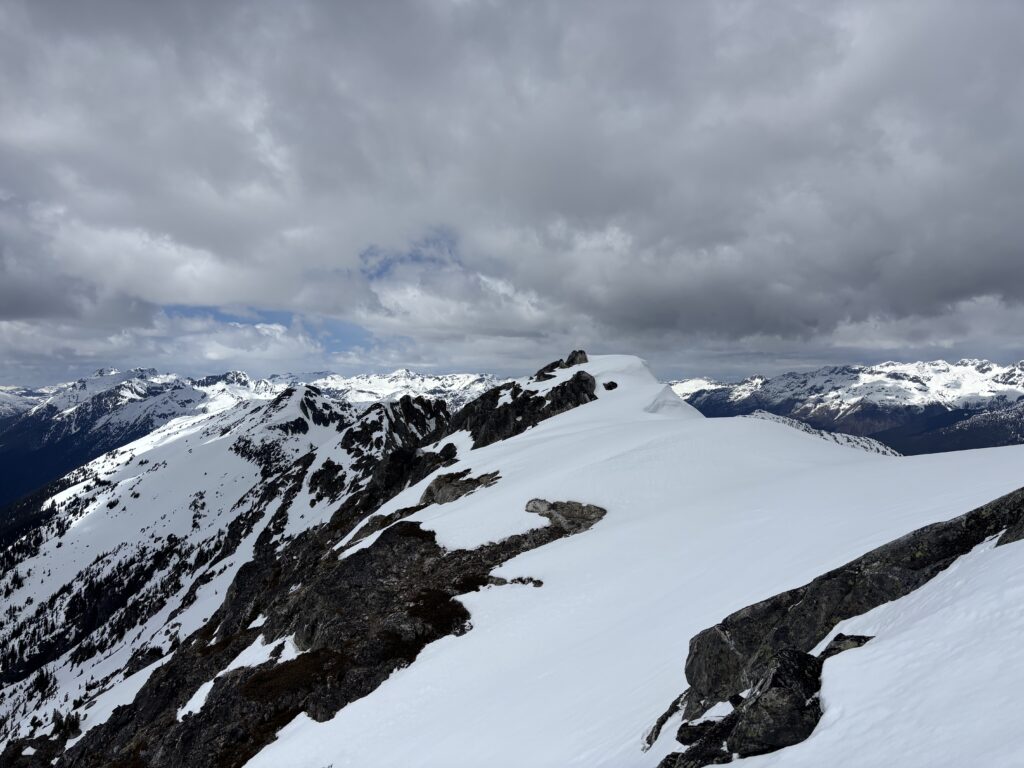
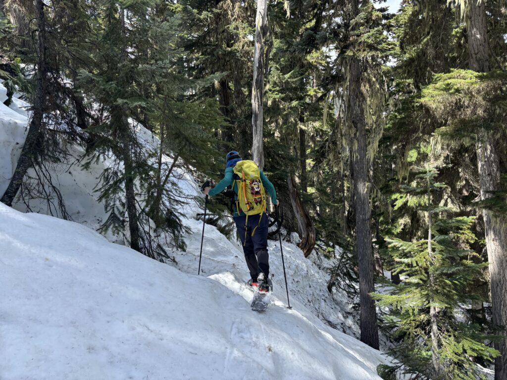
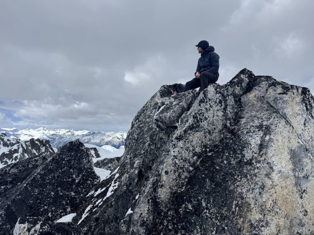
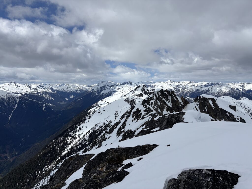
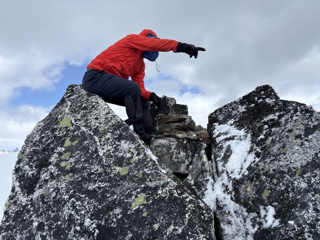
As I crested on to the summit, I scanned around for signs of life or a cairn. None were found and by some luck all of the highest points on the ridge were rocky and exposed. I walked over to the highest point and confirmed no cairns at all. Perhaps this was unclimbed after all! Steven joined up shortly and took some time building a cairn and double checking for signs of a previous ascent. Facing a big descent, we headed off after a brief snack back and boot skiied from the ridge all the way down to the uppermost lake.
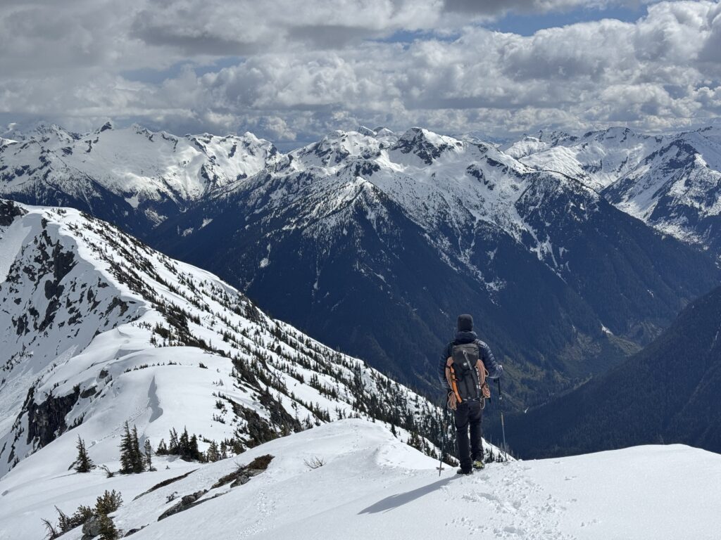
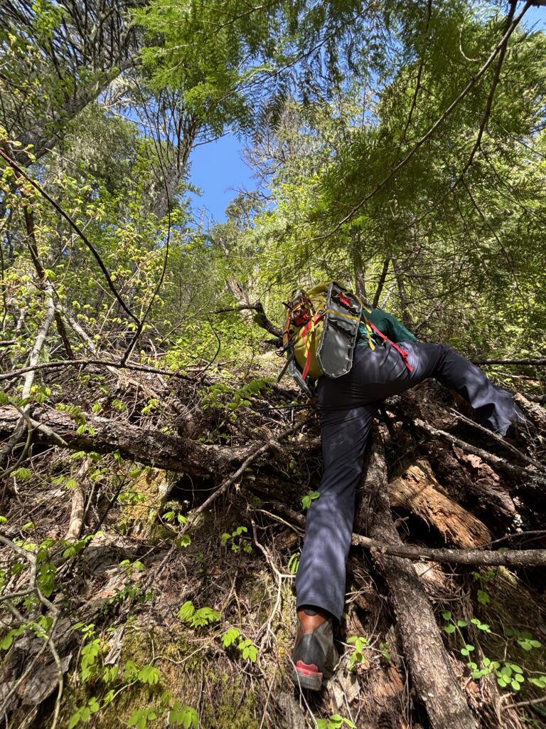
The traverse back to the forested south east ridge was without issue and now we faced 1000m of steep forest to the river. Once we reached the base, we navigated the undulating peninsula back to our pack raft stash. Steven set off first again, flipping over at the shore line and getting properly soaked. He quickly recovered and then I crossed without incident soon after. We reached the truck just before dark.

While there’s no sign of a previous ascent, I’ll have to canvas around to see if anyone has been up there. The peak is officially named, but no mention in the Fairley or Culbert guide. So who named it? We found an old survey marker from 1970 on Nlaka N3 but that’s 11 years after receiving a name. We’ll see what more research digs up!
Tres bien Francis.