Elevation Gain: 87m
Distance: 1.3km
Total Time: 22 minutes
Date: April 27th, 2025
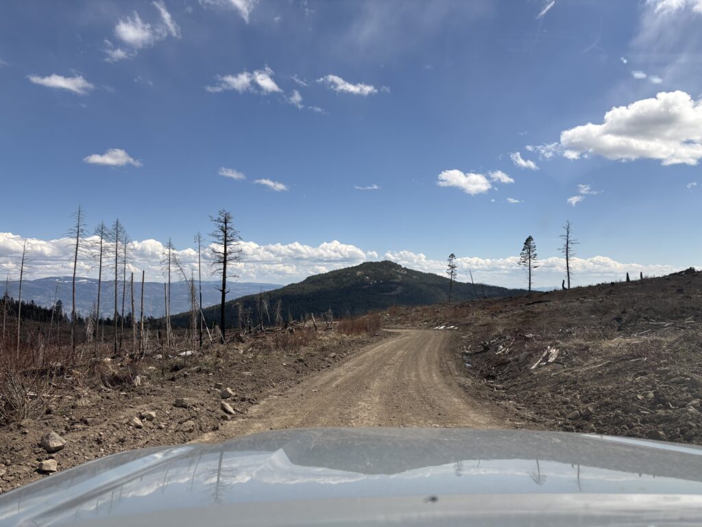
I had just descended from a short hike up Mount Laidlaw and still had sunshine and a few hours to work with. I decided to sleuth through some maps on Bivouac and sure enough there’s some unnamed Peak 1553 a short drive a way. It looked to be less than 1km of hiking each way from the nearest service road. However, this would be a great opportunity to document more roads on the https://backroadstatus.com site, so why not!
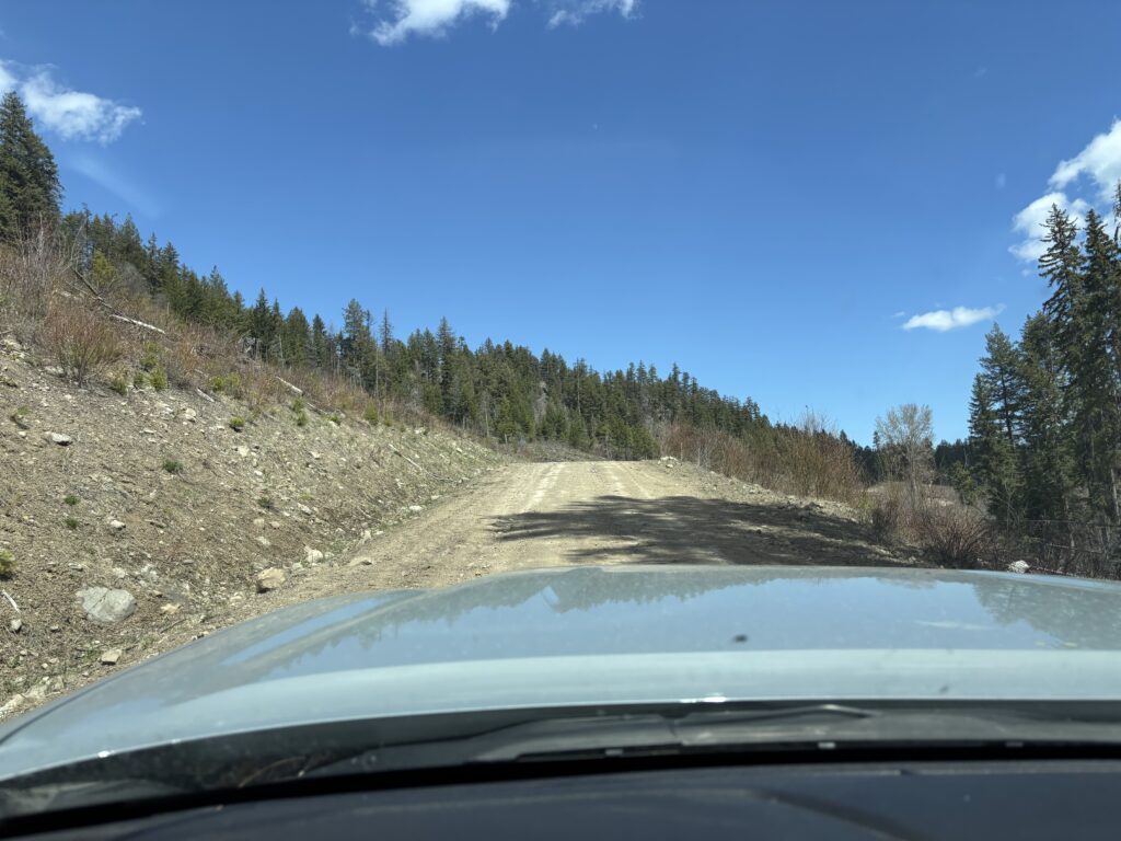
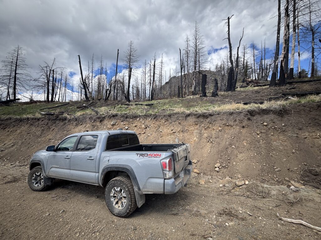
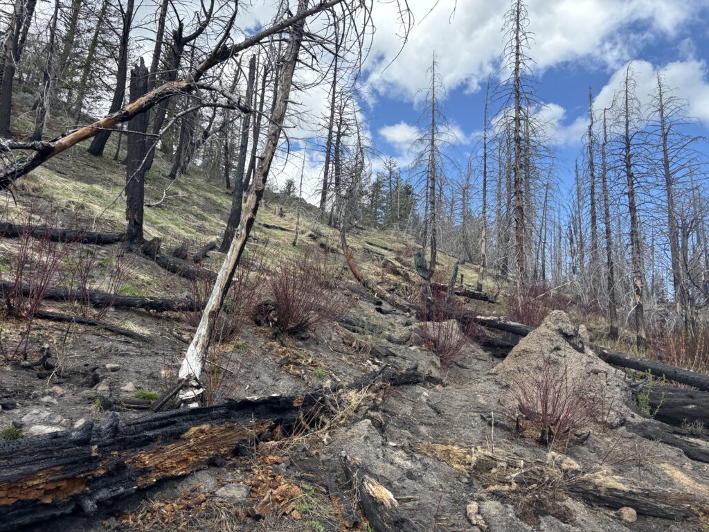
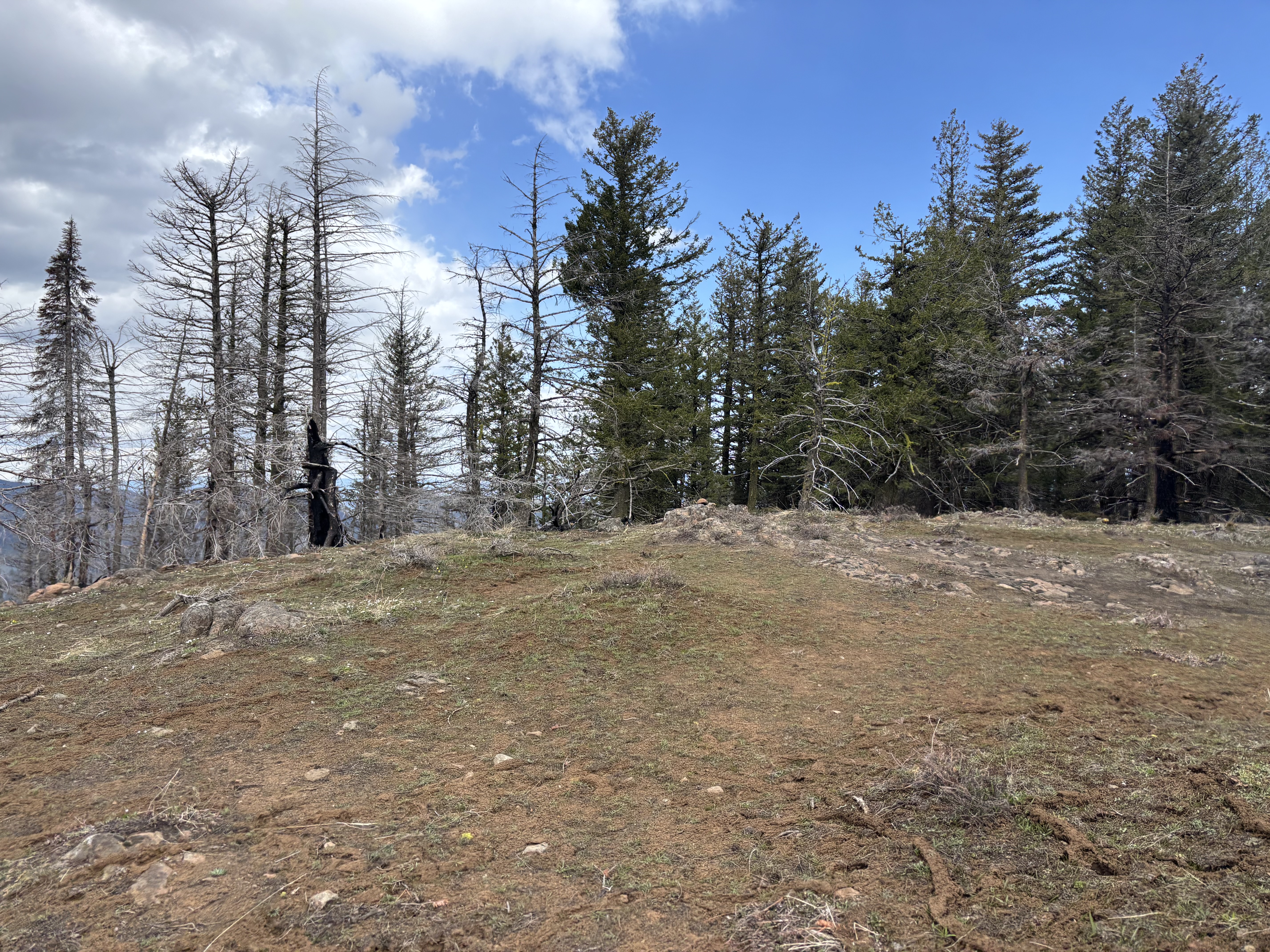
From my parking spot I drove up and down a long series of roads eventually getting to within 650m of the summit. Not much of a trek, but then I had trashed shoes to work with so all the better. It was a walk in the park to the top and the views were still not bad so I was happy I got out. I returned through the burned forest and then drove back out to Keremeos.
While sifting through my things a tick scuttled across my leg. I recoiled. Frantically, I searched all over for more ticks but found none. The remainder of my 3 hour drive was spent double checking every tingle I felt along the way. Yuck.