Elevation Gain: 1,580m
Distance: 17.79km
Total Time: 7 hours 33 minutes
Date: April 14th, 2024
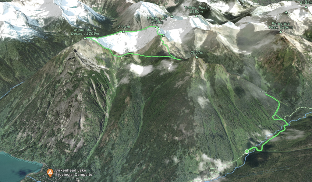
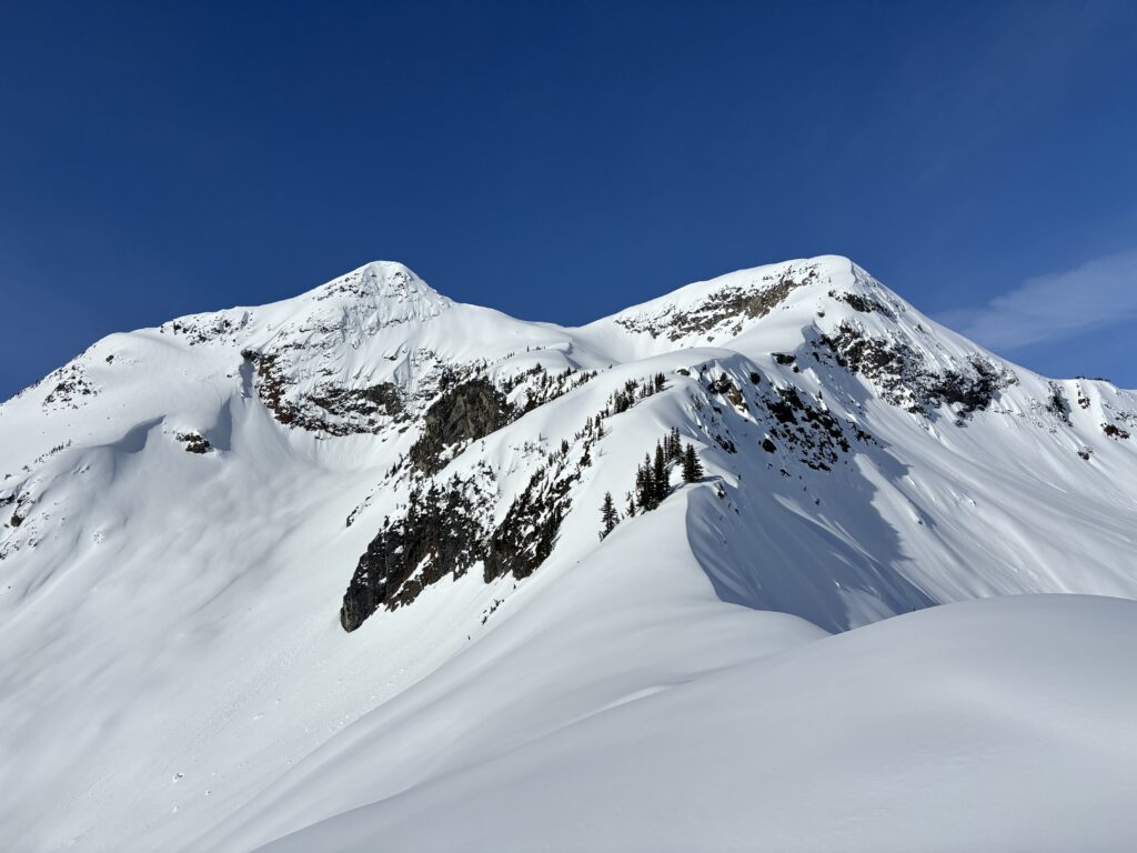
Mount John Decker sits on the southern terminus of the Phelix Creek area and rises almost 1500m above Birkenhead Lake. It’s not a very popular summit, likely owing to the lack of any trail, but it does offer an interesting summit crux under winter/spring conditions. The top is guarded by a narrow spine of rock that makes for a short, but steep snow climb or an easy scramble in the summer time. The trade-off of going in the summer is some heavy duty bushwhacking. So, when Steven reached out about John Decker as a spring ascent, I couldn’t pass it up. It’s a bit of a drive out there, so we decided on car camping and since there was a blockade on the road the last year we’d bring bikes to avoid too much road walking. Joining us would be Steven’s friends Kate and Finn, although they would be going at their own pace as I had do a fast push to be home for 6pm.
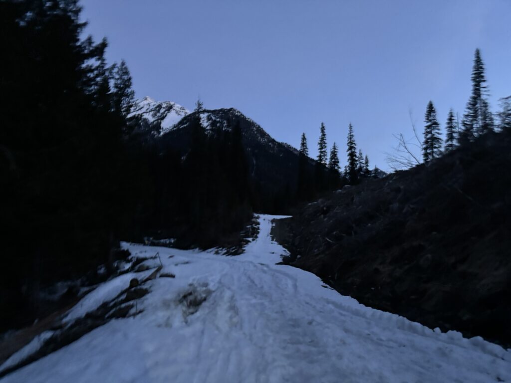
On the night that we drove out we discovered no blockade on the FSR and drove to about 1000m without hitting snow. Our new plan was to catch more sleep back at the FSR start where Finn and Kate were already camping and then drive as far as we could in the morning. I set up a tent next to Steven’s truck and promptly passed out. When 5am rolled around we packed ourselves into the truck and made it 3km down the road before hitting snow. That left just under 2km of road walking and under dawn light no less! After so many cold and dark FSR approaches this winter, I was enjoying a change in pace.
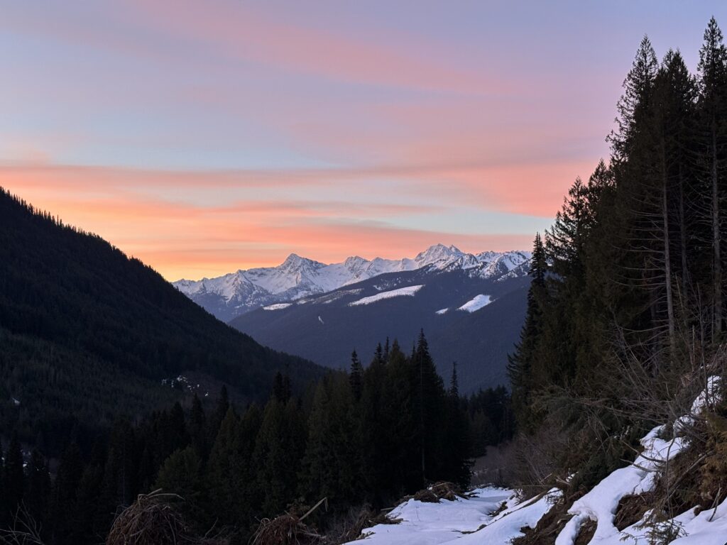
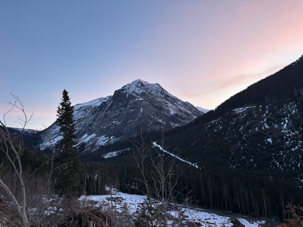
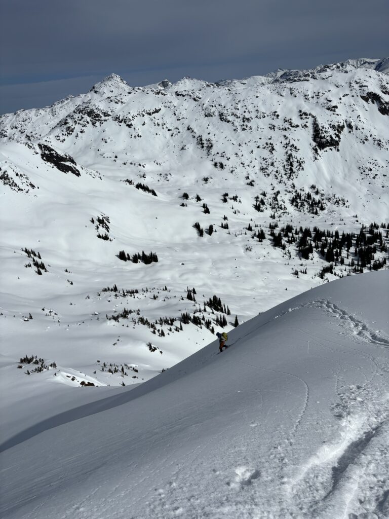
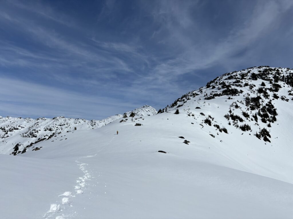
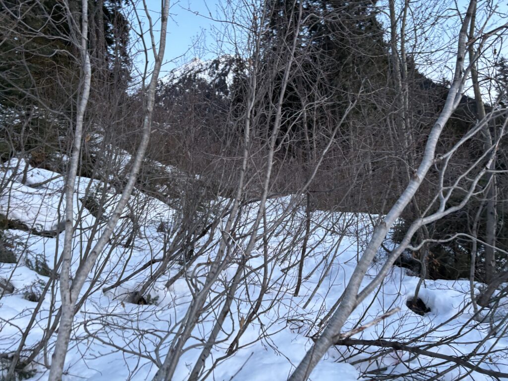
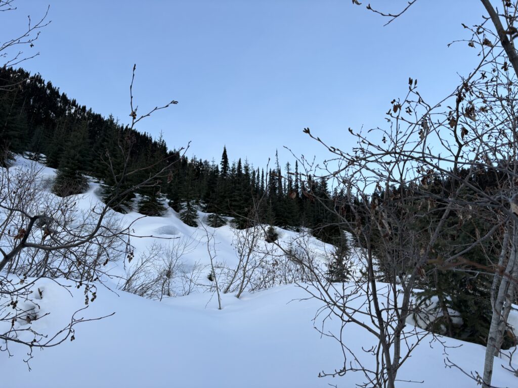
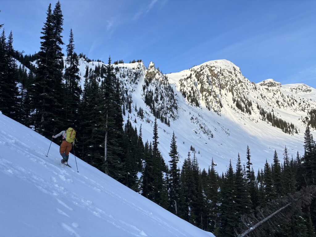
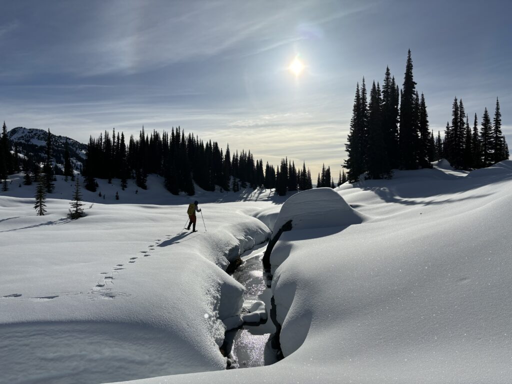
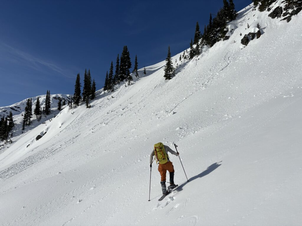
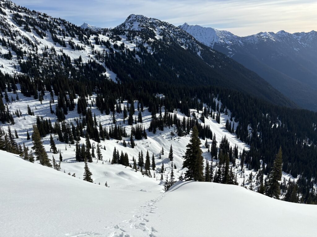
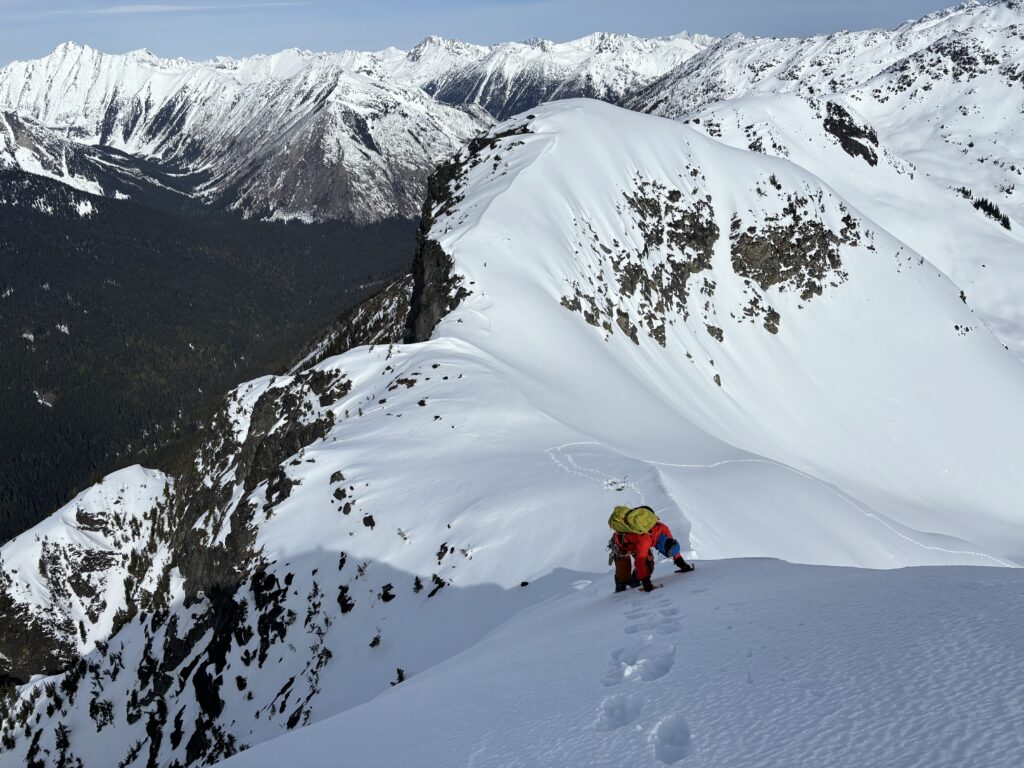
We followed the FSR up to a spur road and then entered an overgrown portion up through an old cutblock. Our plan was to follow Alan and Elise’s route from last year on the ascent and so far it was working nicely. After the cut block we sped ahead of Kate and Finn and exited out of the dense trees into more open valley. We then broke trail up a small slide path and onto the col between Tolkien S1 and an unnamed peak just north. Now came a long section of steep side hilling. With the early morning freeze, we had to swap to cramp ons for more purchase and made our long traverse into a basin about 100m below.
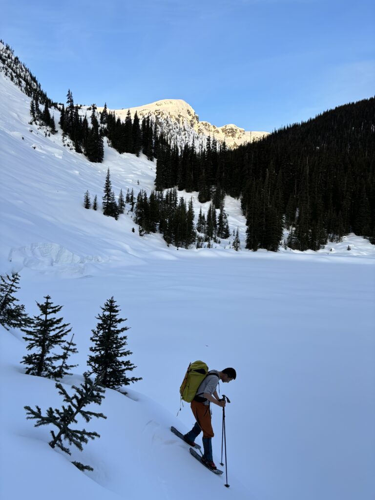

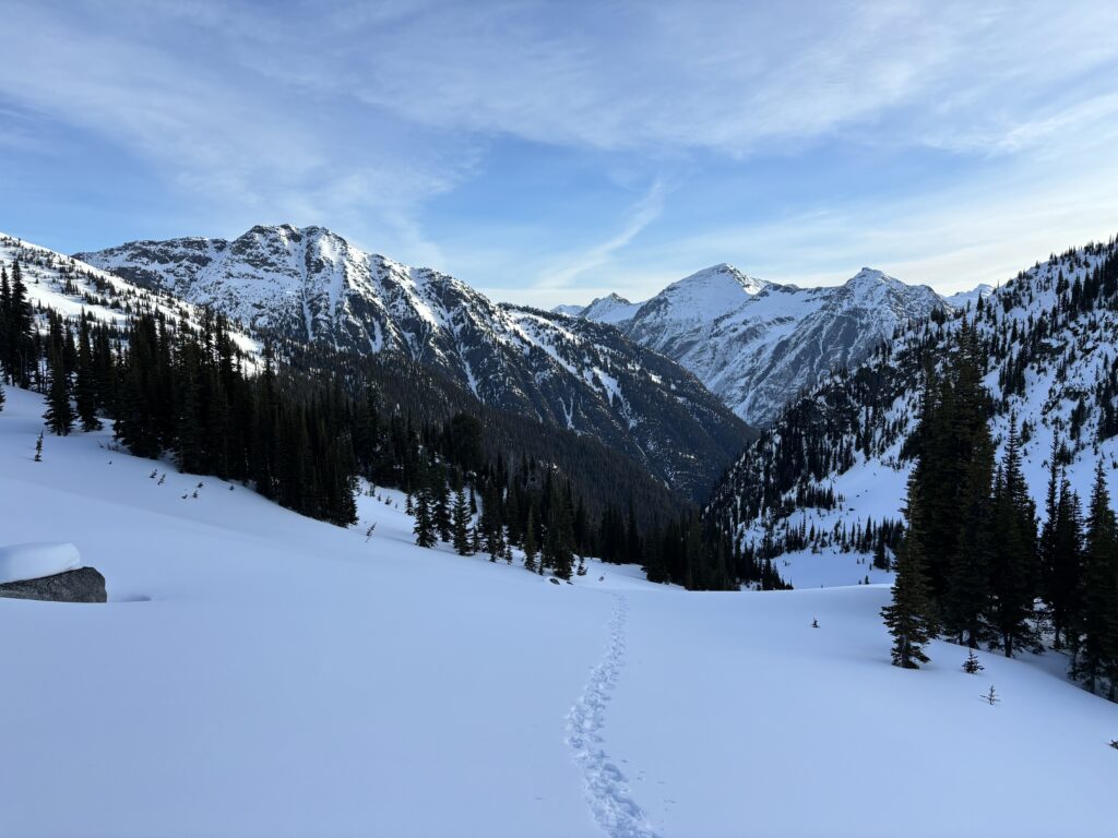
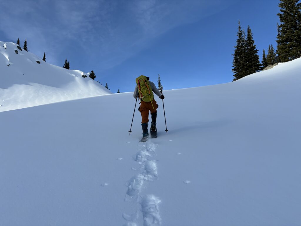


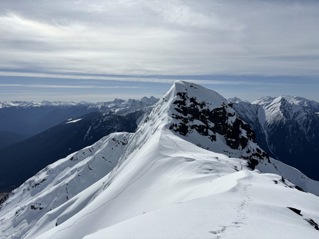
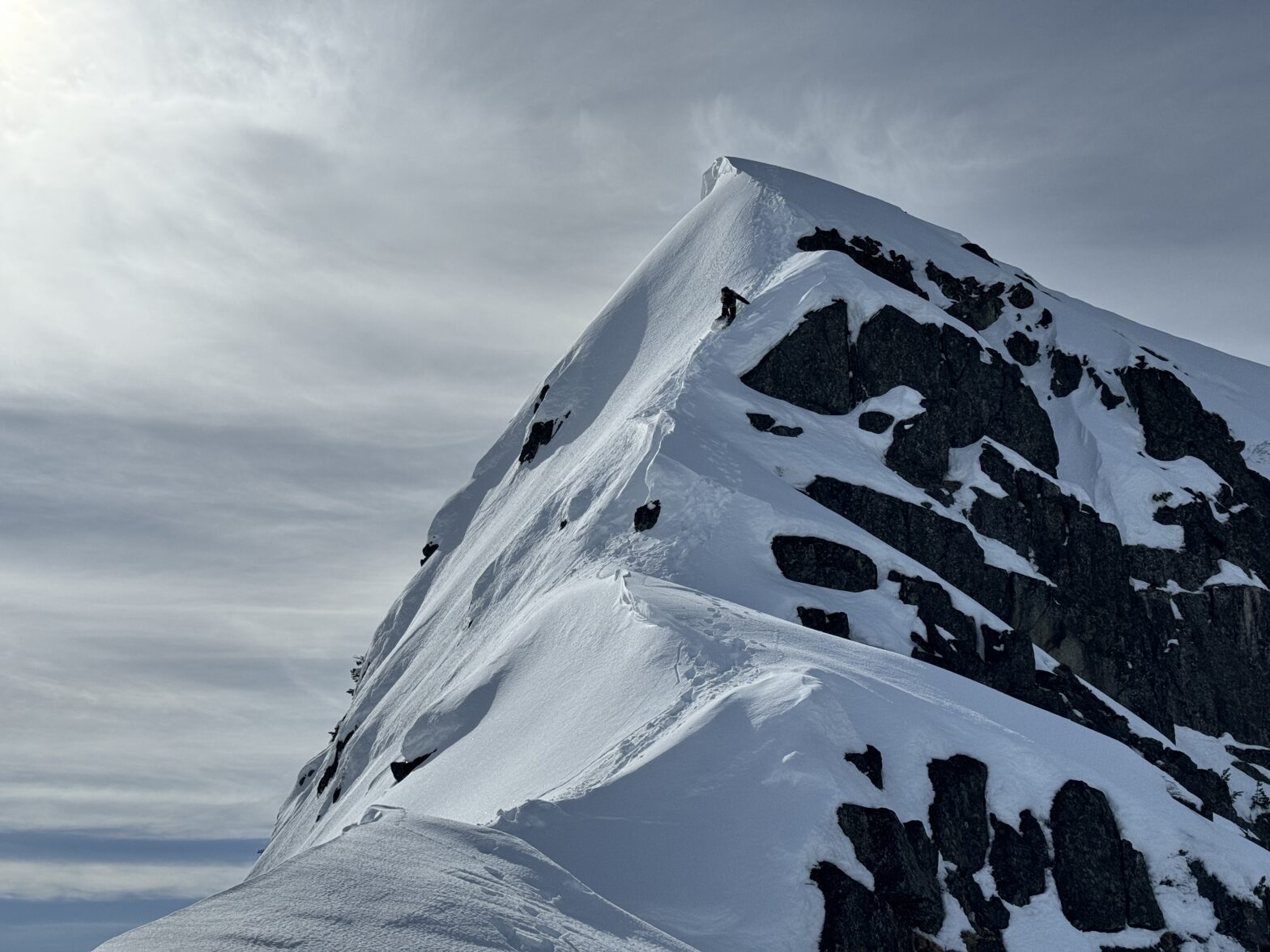
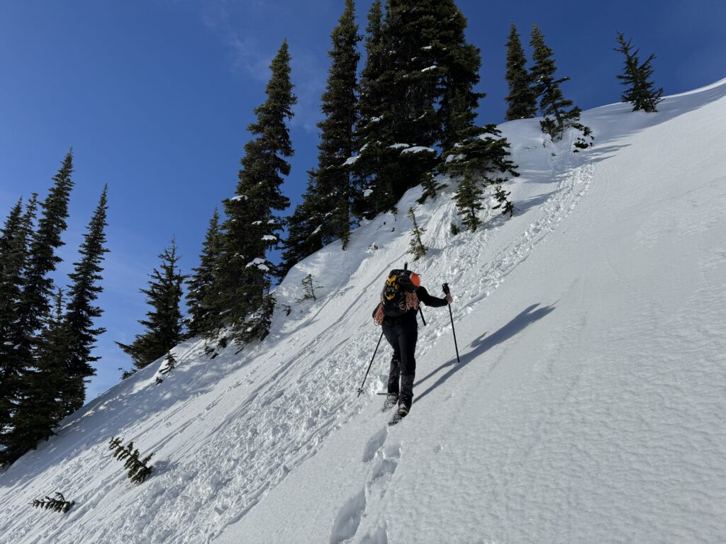
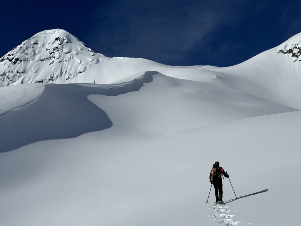
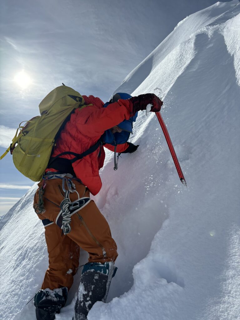
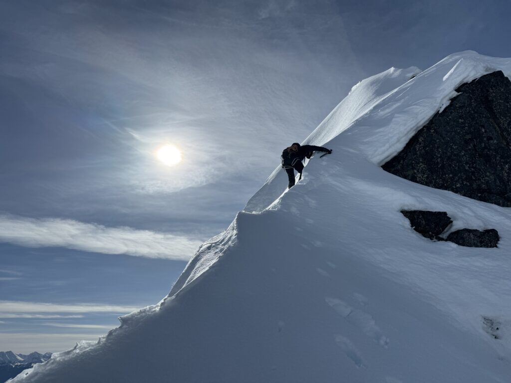
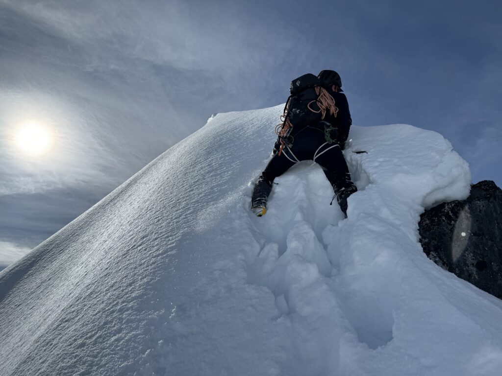
At the basin, we contoured around the south side of the east spur and climbed up steep and deep snow. This section was a bit unrelenting and it took a ways before the grade finally eased off. Now we had a more pleasant ridge ramble into the east bowl below the true and false summit and easily gained the col between the two. We swapped into crampons and Steven started leading the way up the summit crux.
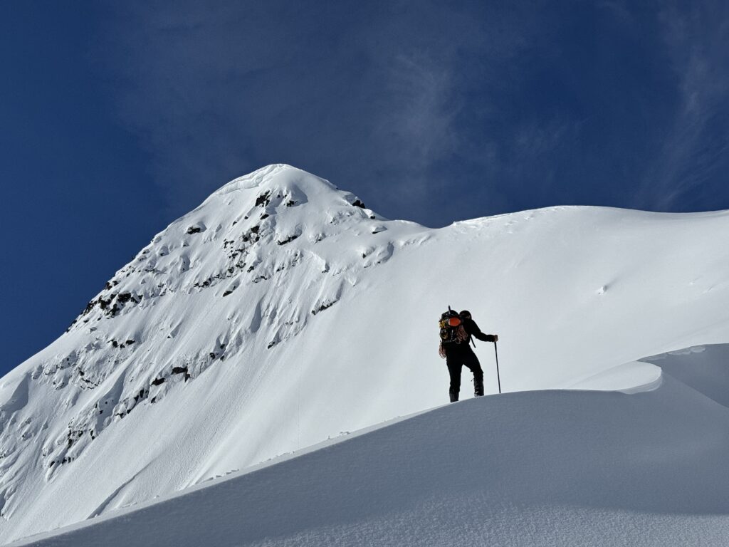
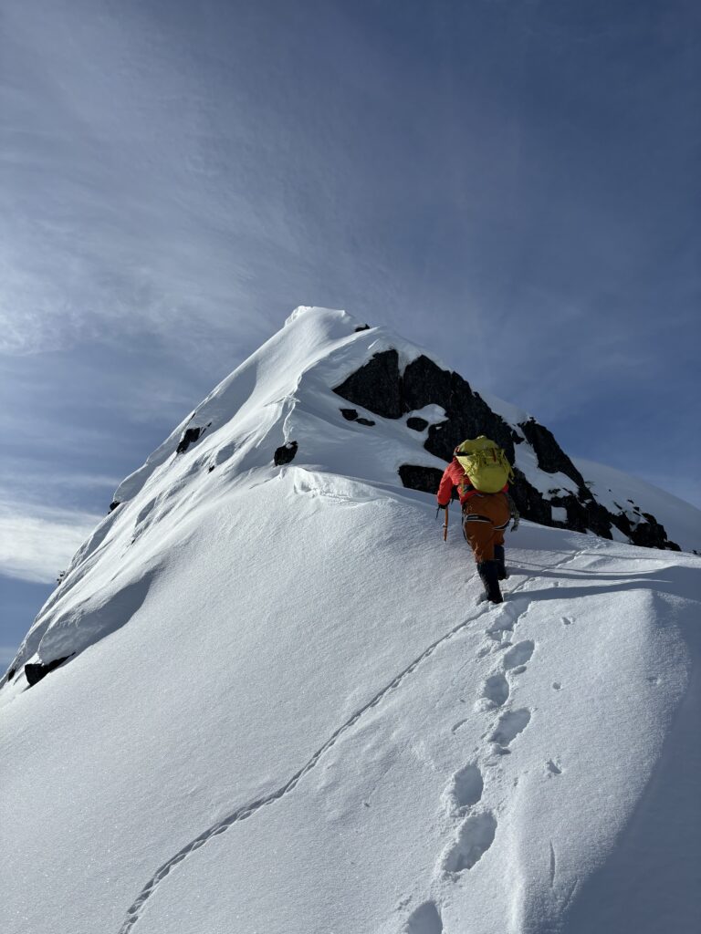
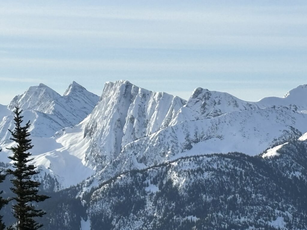
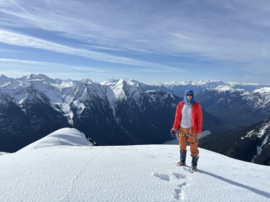
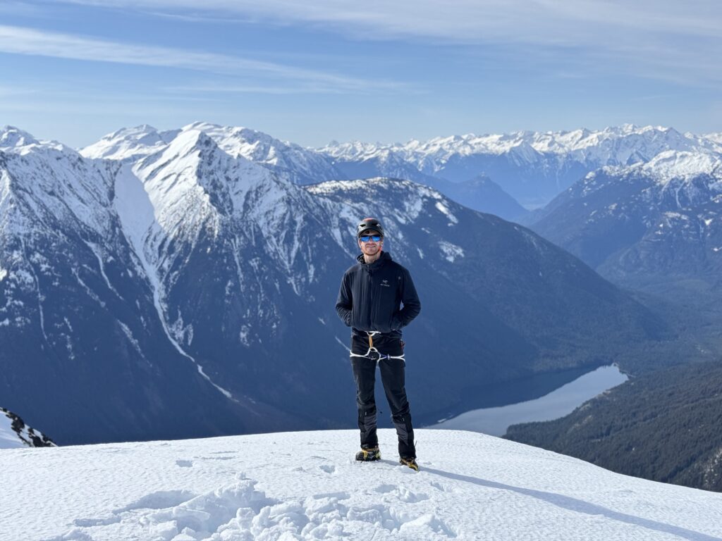
About 1/3 of the way up he hit a mess of unconsolidated and steep snow. I spotted firmer conditions on the north side of a small arete and wrapped around him finding better purchase. From there I was able to work my way through the steepest section and finally onto the summit. Either side of me had been quite exposed, but it never felt overly committing. The photos certainly made the summit block look more extreme than it was.
While we took in the views, Steven started floating the idea of hiking up to Tolkien as well. It looked awful far from us at this stage, but we had made record time to the summit and had room to spare. Not wanting to squander our opportunity now, we headed down quickly and ascended up and over the false summit to gain the north ridge. There were no difficulties gaining the ridge and we continued along for 40 minutes reaching the west end of Tolkien S1. I was completely gassed at this point and knew that I could not make Tolkien with enough time to spare. Steven was still pushing strong though, so I offered for him to go up without me and I could do Tolkien S1 instead. With that, we parted ways!