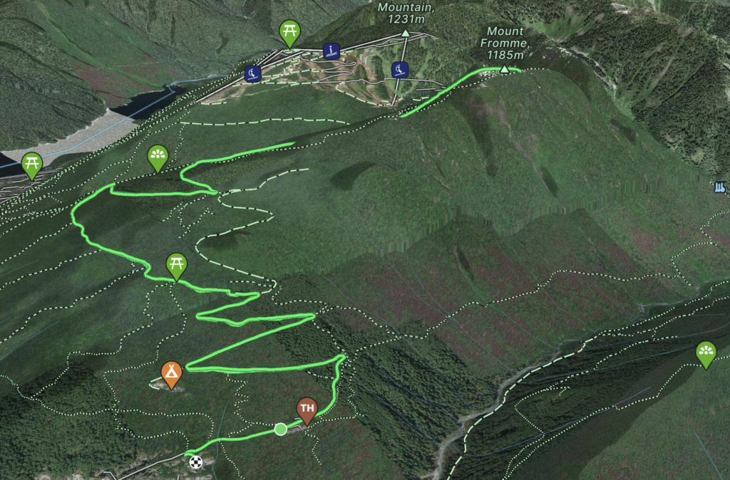
Elevation Gain: 841m
Distance: 18.73km
Total Time: 2 hours 20 minutes
Date: May 25th, 2023
Mount Fromme is one of the front-range summits on the north shore of Vancouver visible from virtually all angles of the city. It’s located just east of Grouse Mountain, but it’s not a particularly exciting mountain owing in part to the summit being almost entirely forested. I had been saving this peak for a day or evening when I would want to climb up something without a big drive or journey. On the 25th of May, that day would come as I was hoping to get some after work exercise. I knew from a previous research that I could dispatch with most of the elevation by biking up the Grouse Mountain service road. A short hike from about 1000m in elevation gain would then take me the rest of the way.
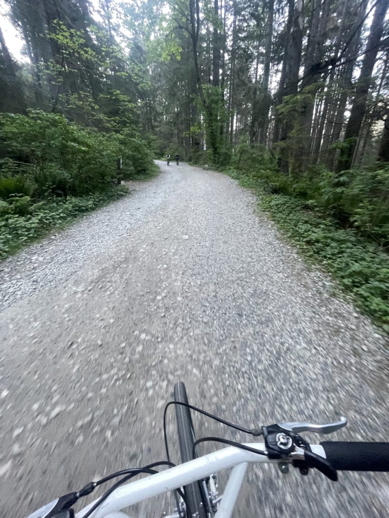
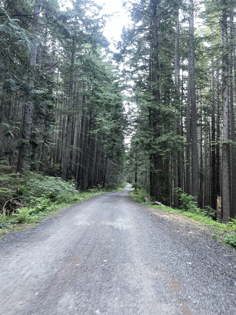
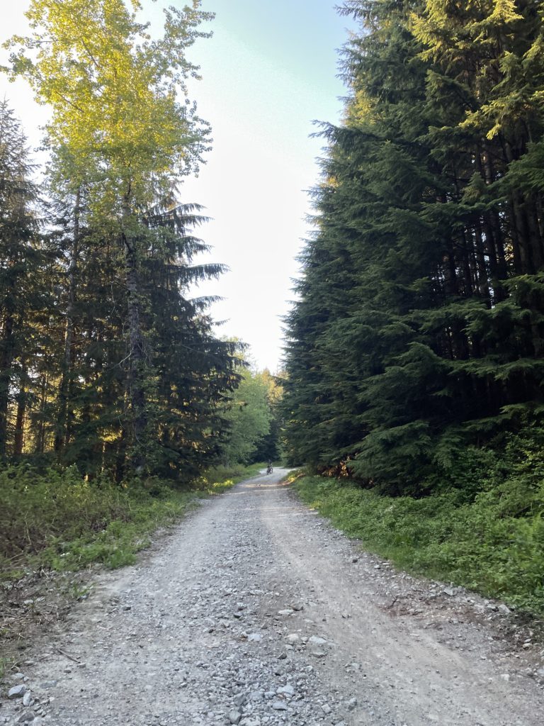
Originally, Andrea was going to join me but at the last minute she started feeling unwell and so kindly offered to drop me off while she rested. I hit the trail head around 7:00PM and biked slowly up the winding road. My legs were feeling the burn as I climbed higher and higher, but it was an enjoyable effort nonetheless. All good practice for some inevitable multi-kilometer service road bike ride in the future! Along the road were numerous mountain biking groups getting ready to drop in at various points on the trail network. I continued up as the number of people progressively thinned out until I was all alone at around ~820m in elevation.
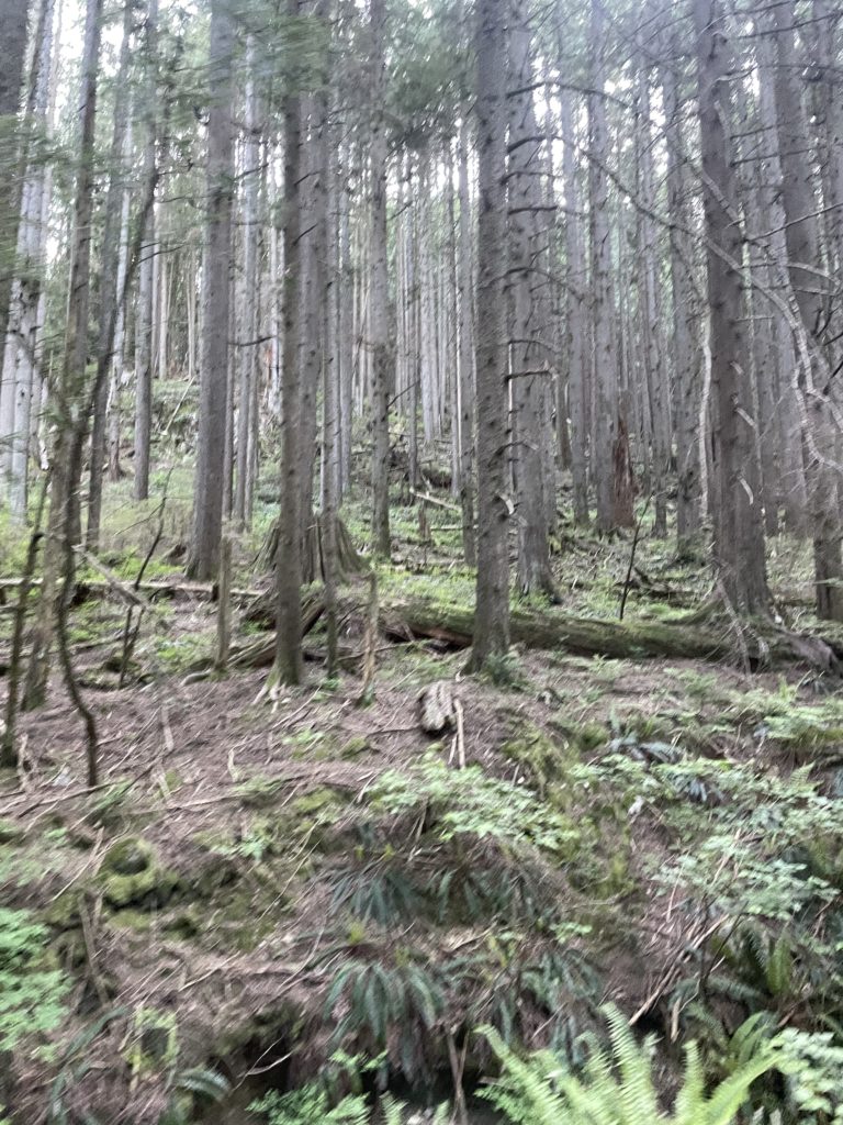
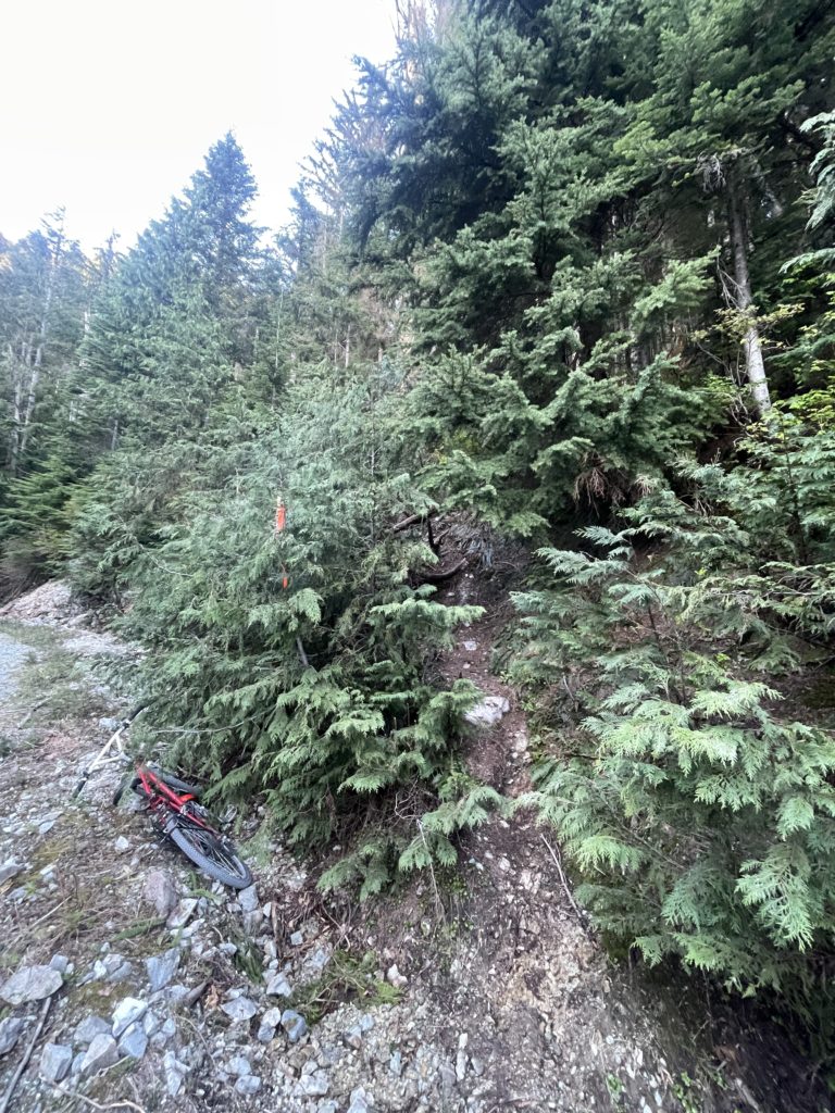
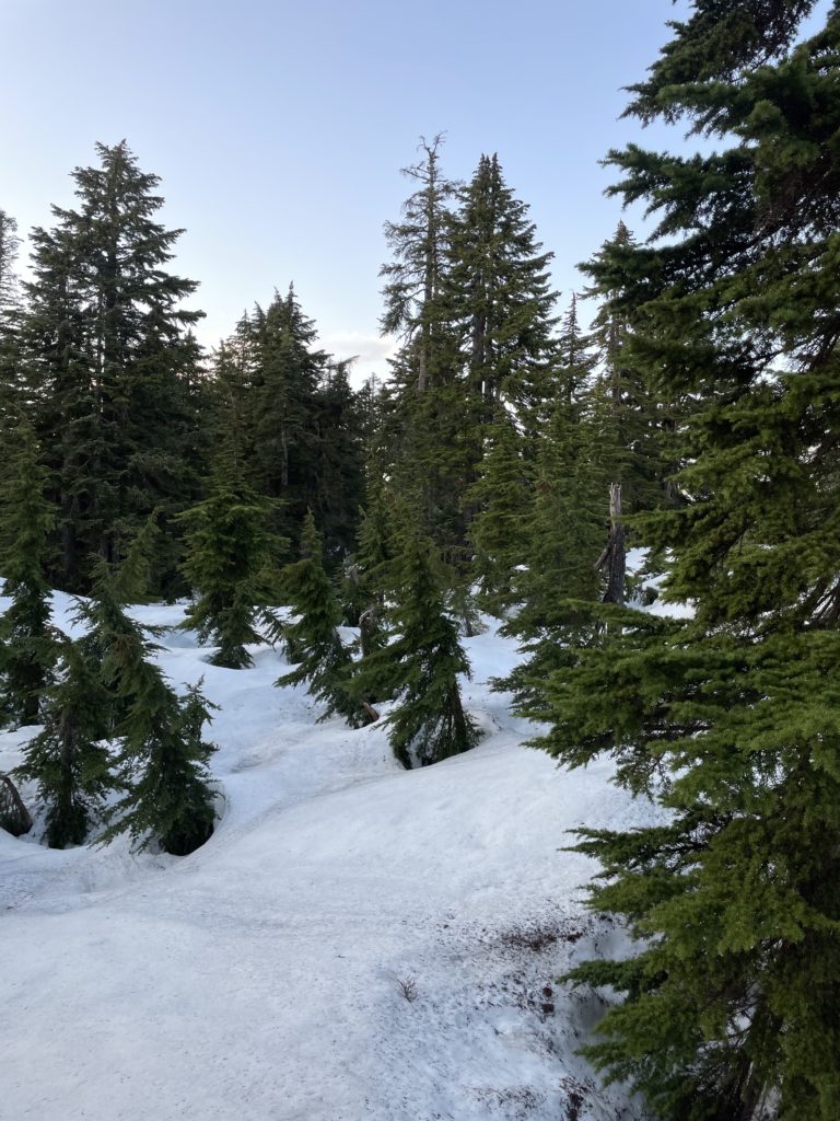
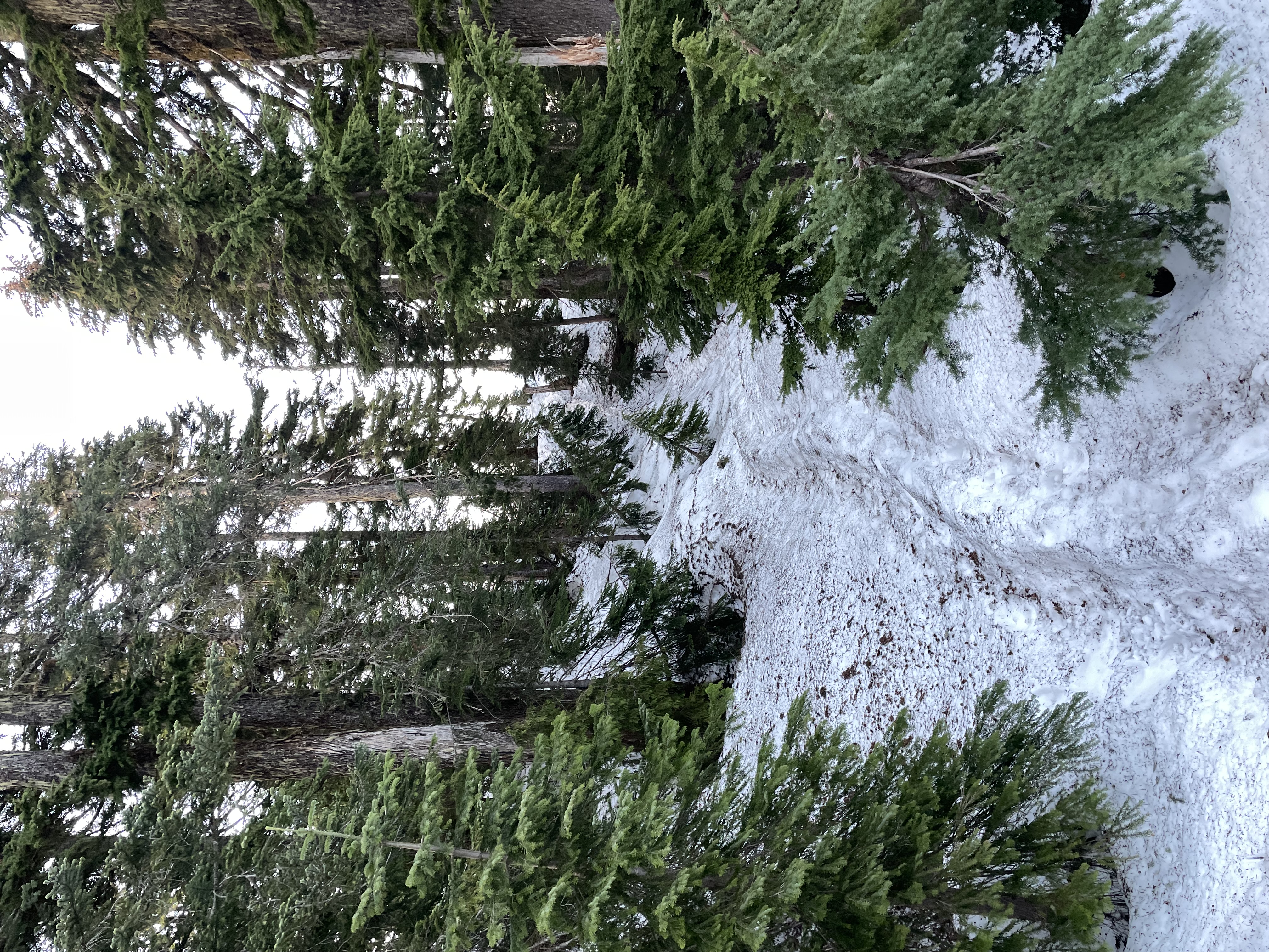
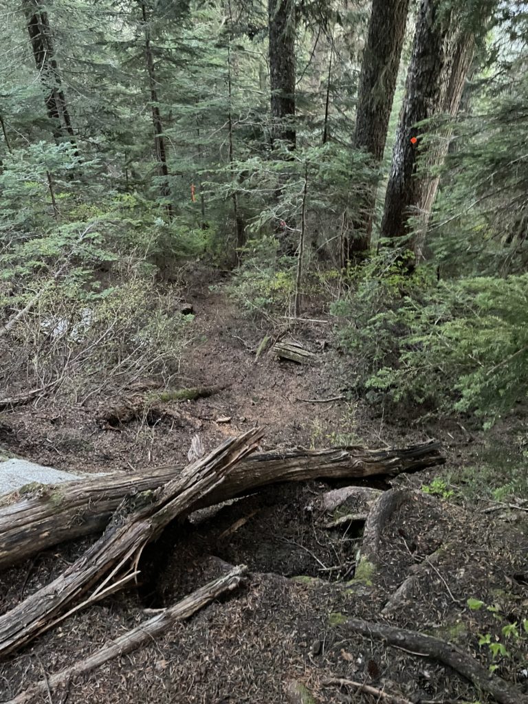
I reached a long flat section before the trail head and made the most of the only low incline portion of the climb. At around 8:15PM I located flagging for the trail head and ditched the bike and excess gear before starting up. The route started off steep at first, but toned down a bit as I reached the upper portions. Snow patches began to appear around 1050m and by 1100m I was walking on continuous but firm snow up to the summit.
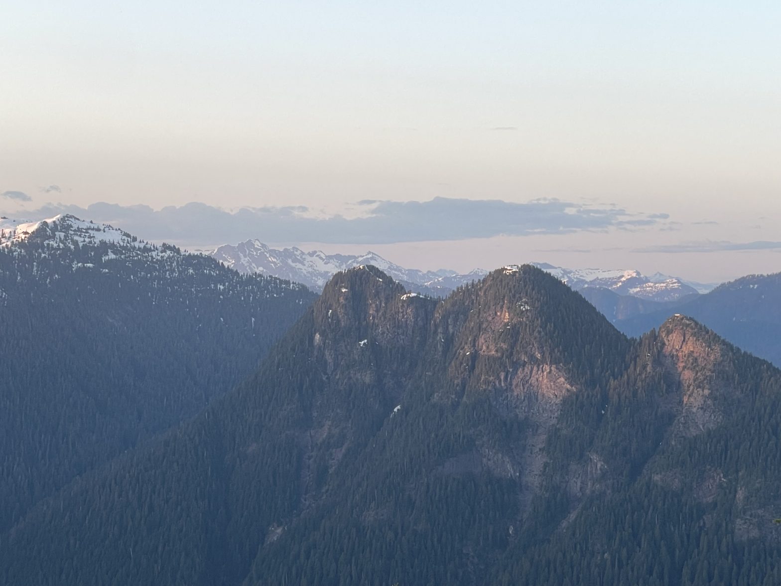
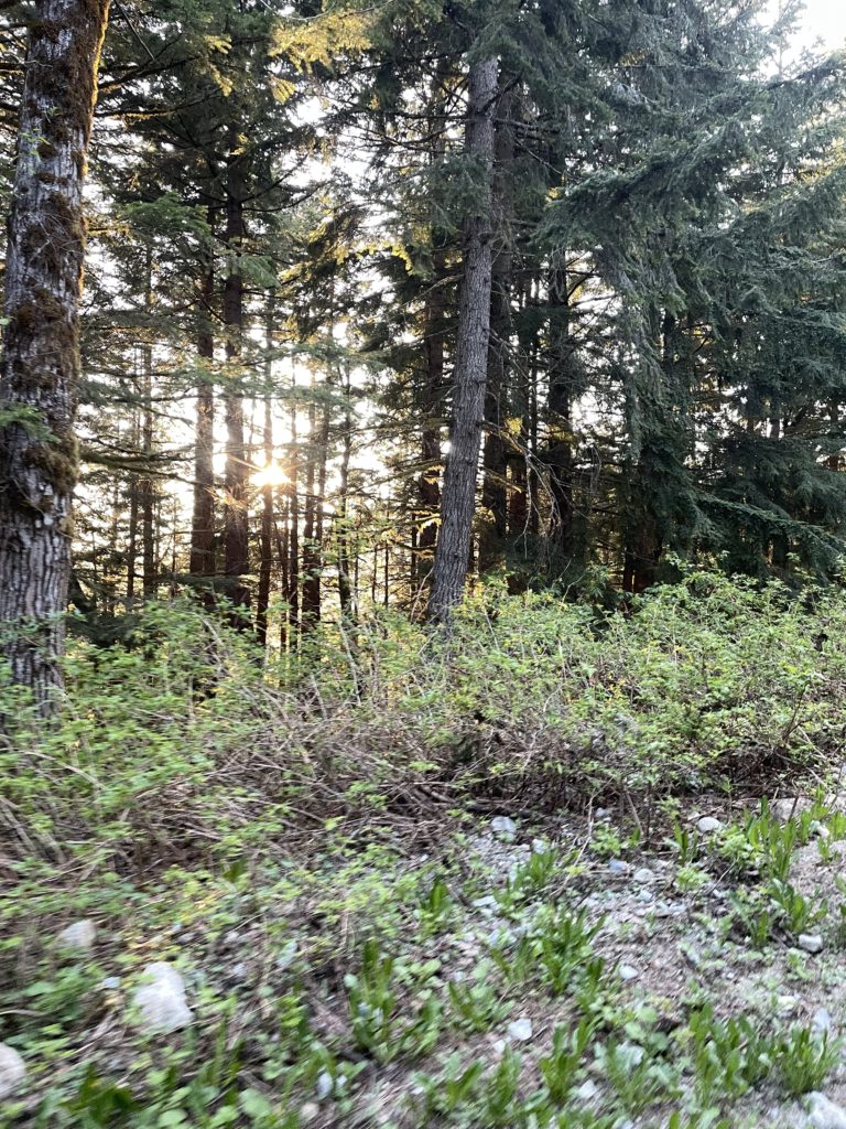
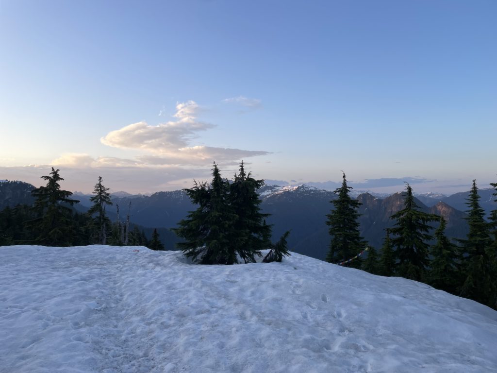
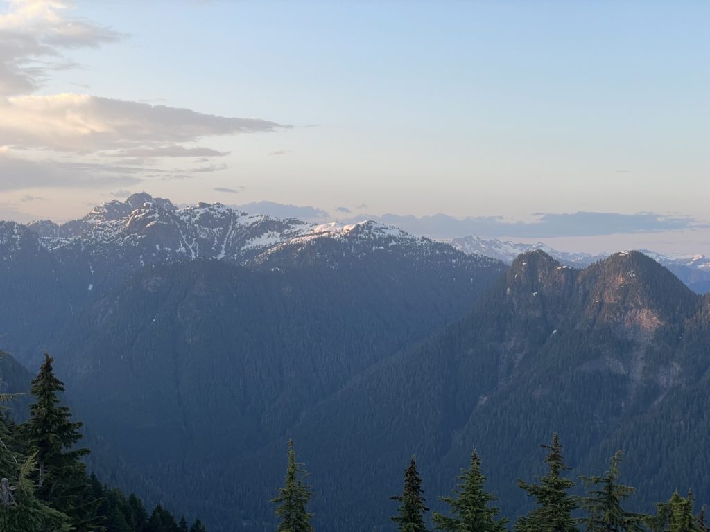
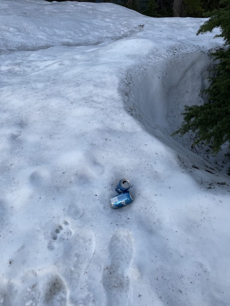
I followed obvious flagging on to the broad summit ridge and then continued along to the high point further north west. To my surprise the route finished out at a clearing with panoramic views of the needles and Cathedral Peak area. All in time for the sunset as well. This unexpected treat ended up consuming more time than I planned for so once I was able to break my gaze, I set a jogging pace back towards the road. Coming down the snow patches was not too bad, but a few times I had to dodge some isothermal tree holes.

Once back at my bike I was expecting a fast and easy cruise down. However, the road proved to be much rougher than my suspension-less bike was equipped for. As a result, I had to pace myself more than I would have liked, but made good progress on the way down. I reached a patiently awaiting Andrea sometime around 9:35PM and made the uneventful drive home.
The whole route took a bit longer than I expected, but it was a very worthwhile jaunt to the top in the end.