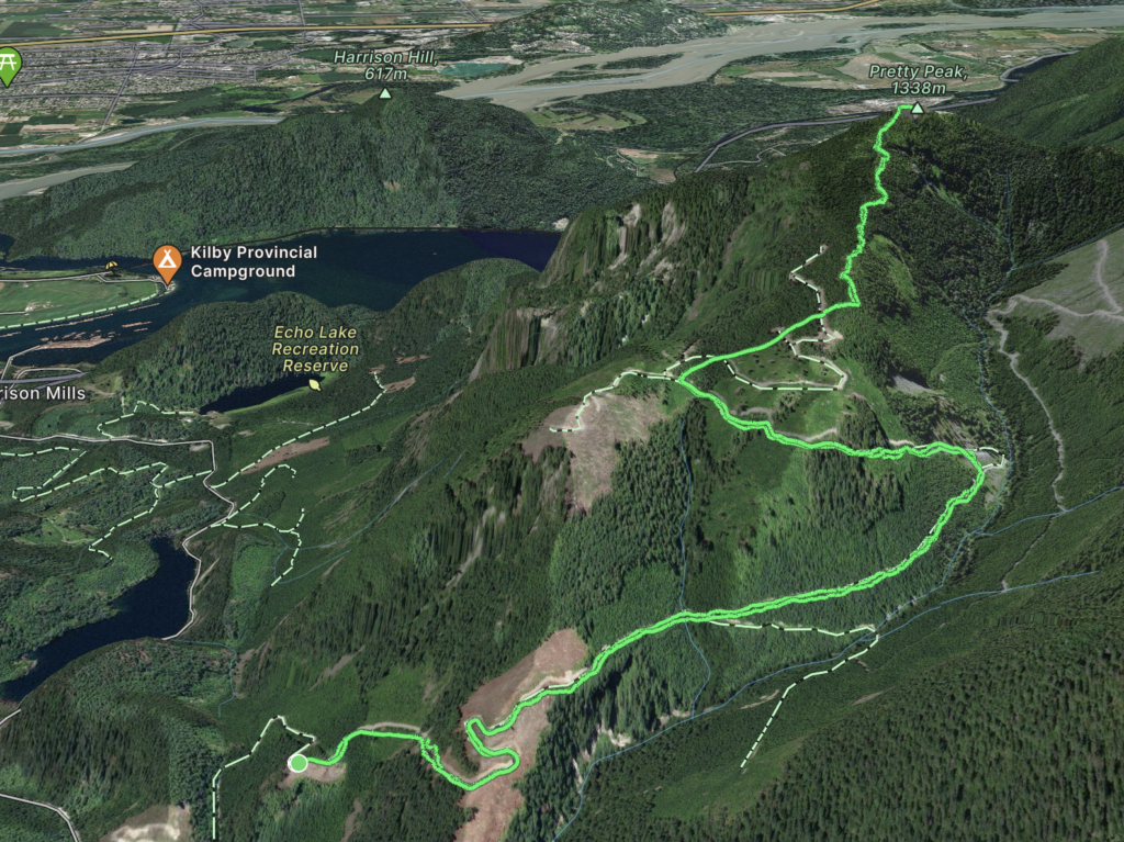
Elevation: 1,062m
Distance: 12.12km
Total Time: 4 hours 23 minutes
Date: April 2nd, 2023
Sasin or Pretty Peak has been on my list for awhile now as a summit I could save for a casual day without too much driving. It’s located at the confluence of the Chehalis and Harrison rivers, just north of Harrison Mills. A decent amount of elevation can be gained via the service road running the north eastern flanks, but having sufficient snow cover also avoids unnecessary bushwhacking. The timing of this summit just happened to work out thanks to a mediocre weather forecast across the province. Some minor moments of sun were expected around the Harrison area and that was enough for me to get keen to head out. I managed to recruit Alex, Trevor and Jacob for the task and all were on board when I suggested Pretty Peak.
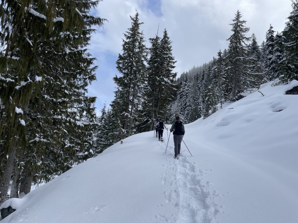
It’s a relatively easy day so we set off from Vancouver with a leisurely start of 8am. I was able to drive up to ~350m before hitting what appeared to be continuous snow. We stopped there, geared up, and hit the trail around 10am. Perhaps only 100m beyond we hit dry road again and it appeared to run up quite a ways. By this point we we were all geared up though so decided just to walk it rather than drive.
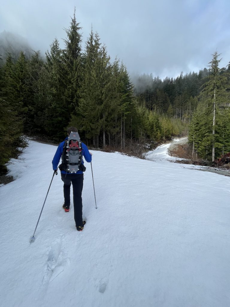
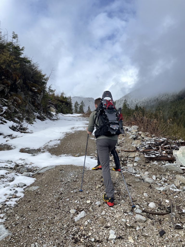
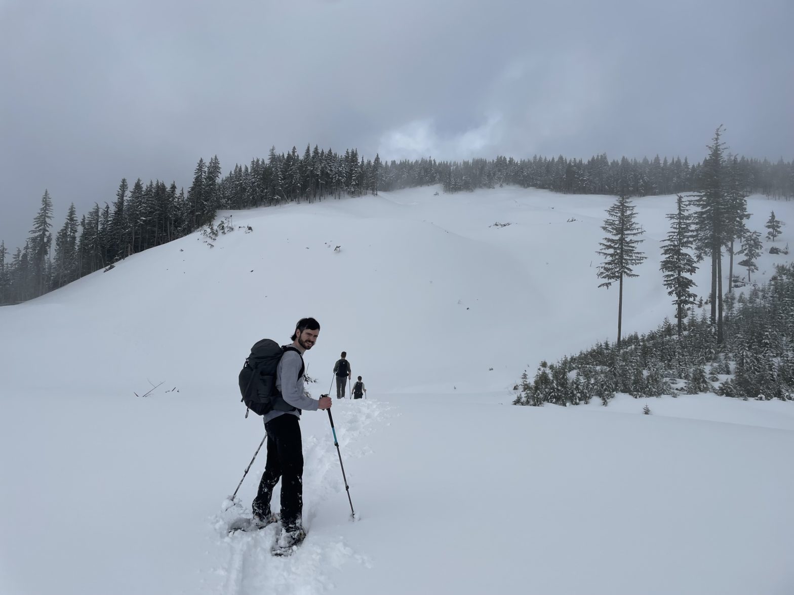
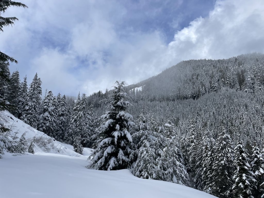
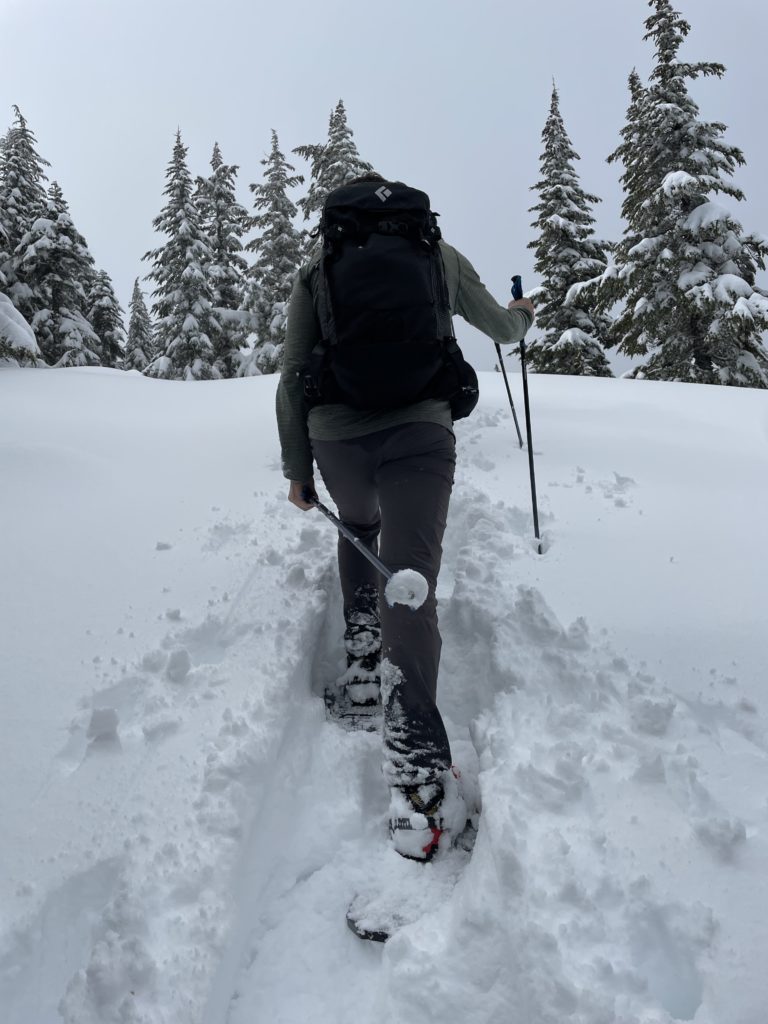
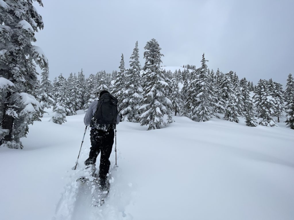
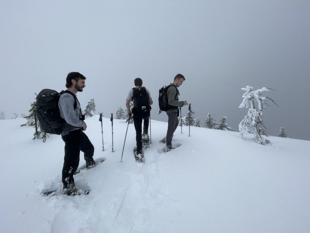
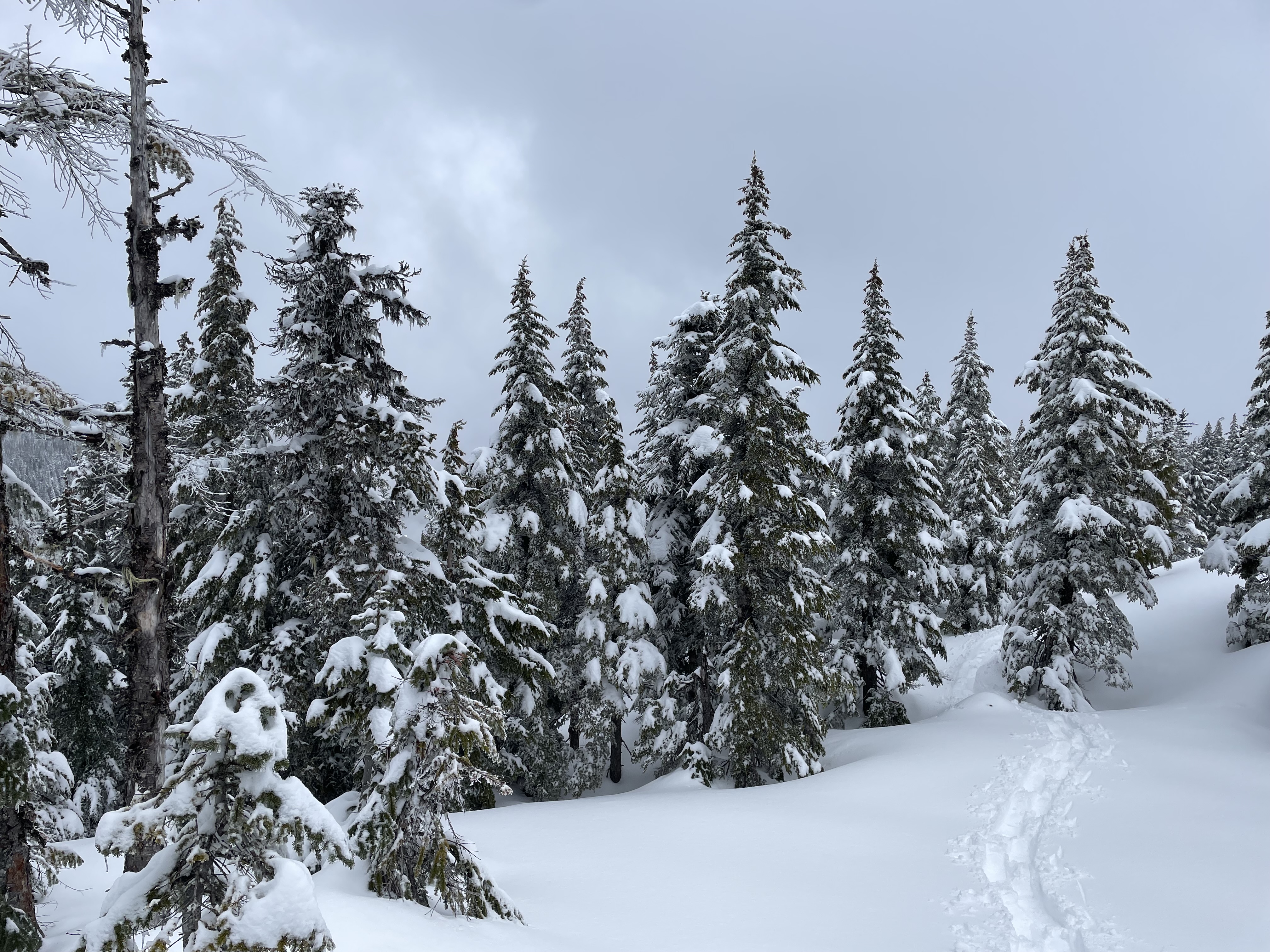
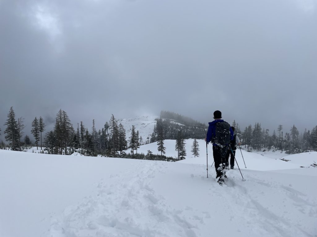
The first 4km or so was just a road walk and then we found sufficient snow/openings to shortcut directly through the cut blocks. We reached the ridge line at ~1050m and made our way through the open forest with deep snow cover. Some areas were showing a few signs of instability with the warming snow pack so we avoided anything steep as we continued up the ridge. At about 1270m the ridge line opened up and gave way to a slightly steeper final slope to the summit. Again we aimed for the least steep section and zig zagged our way up a better protected section and finally gained the summit.
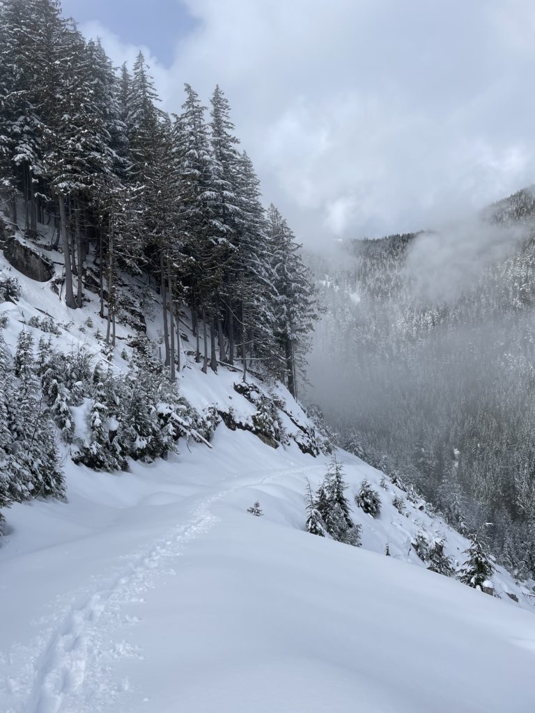
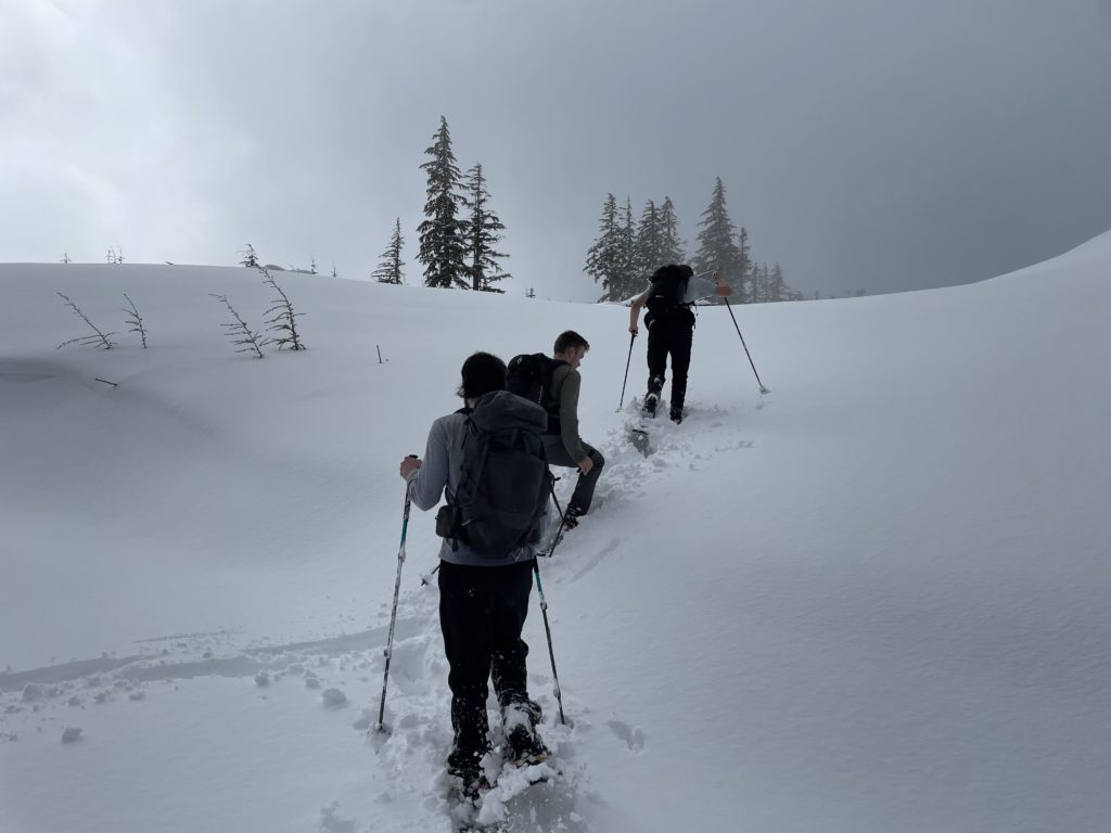
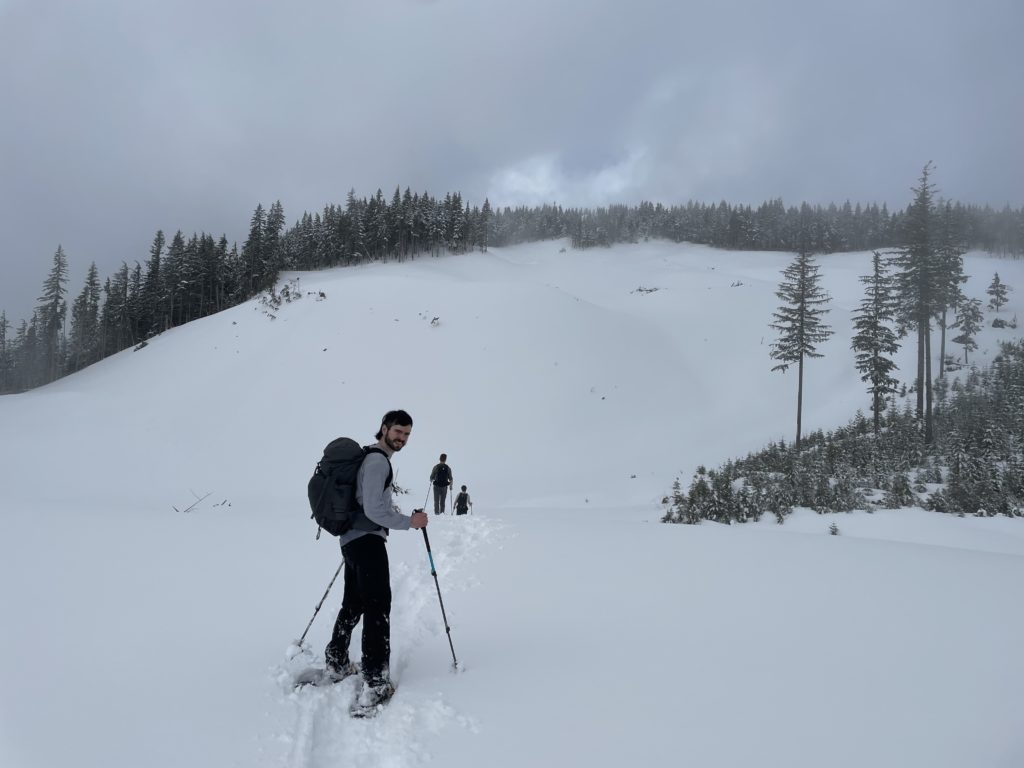
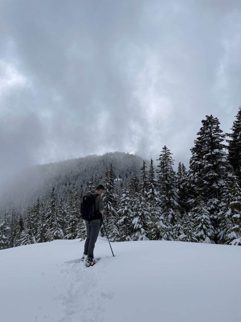
As expected, there were limited views with the weather but it was still super pleasant out. Perfect temps for snow shoeing and it was nice just to be outside after all. Once we had some summit snacks, we headed back down. The steepish slope we ascended now had very sloppy snow, but it was short lived and we reached the tame ridge line without issue.
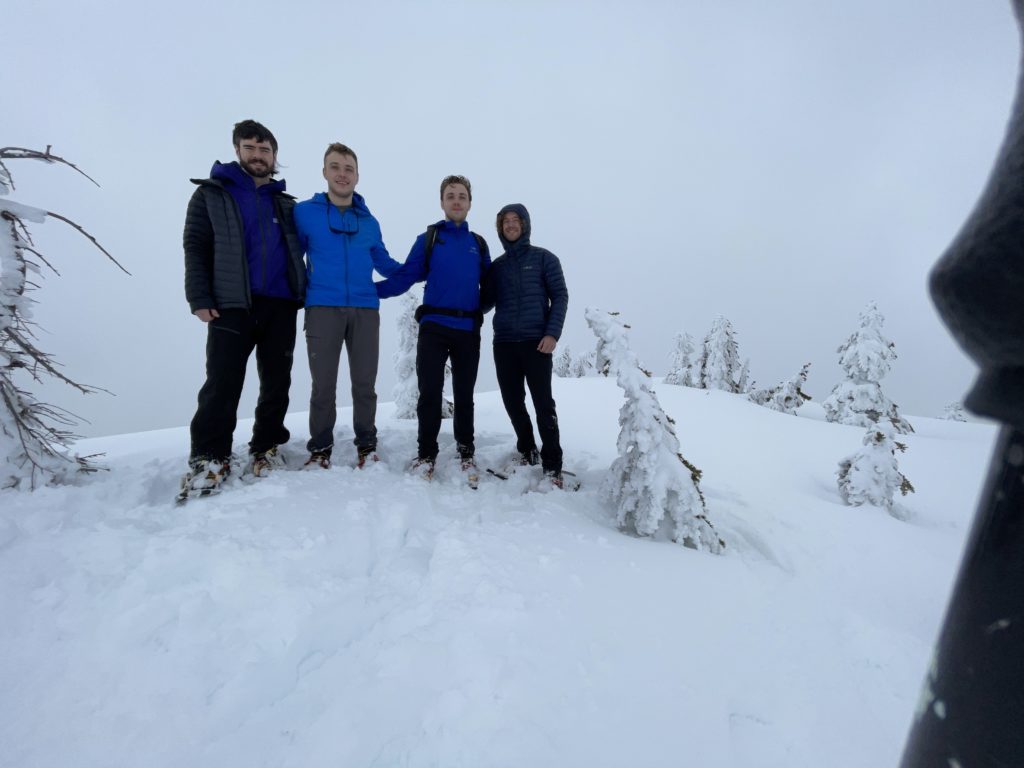
Now it was just an easy descent back to the car with the usual post-ascent discussions and jokes. A nice day out with good friends!