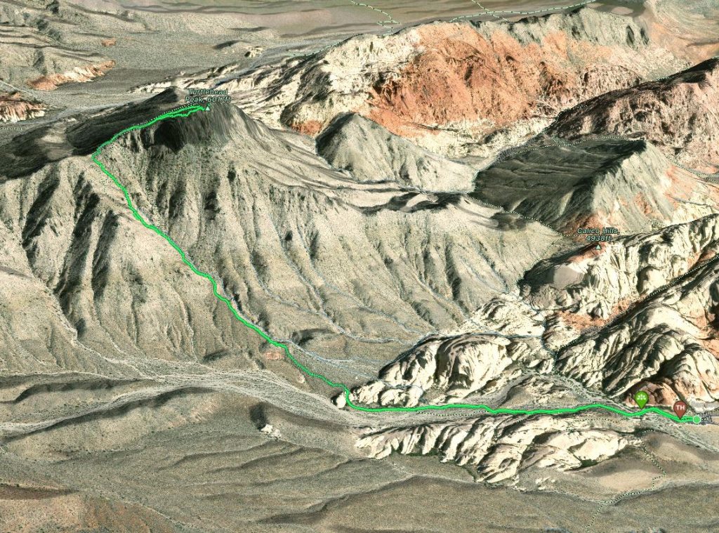
Elevation Gain: 587m
Distance: 7.47km
Total Time: 1 hour 28 minutes
Date: October 21st, 2022
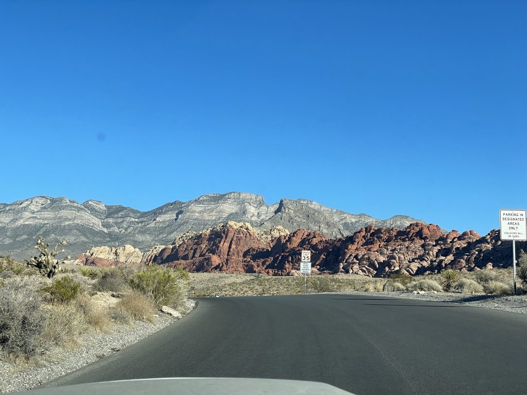
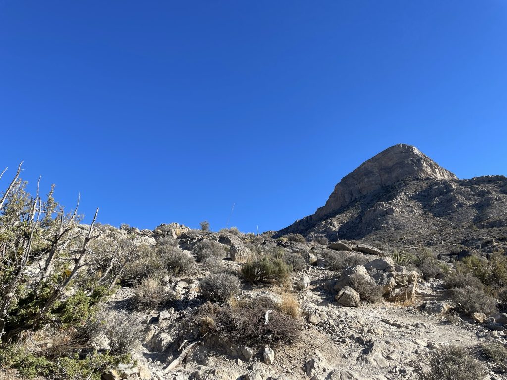
Andrea and I were making a quick stop over with a single night stay in the Red Rock Canyon area for some climbing. The following day we needed to head off to San Diego early in the day, so another round of climbing was out of the question. However, we were both keen to at least get outside before the long drive. I had look around at easy/nearby hikes and summits and found Turtlehead Peak. It’s a small peak around 1834m just north of the major climbing areas. Adding to that there’s an official trail all the way to the summit and only ~7.5km round trip to complete it. The route looked perfect, so Turtlehead Peak it was. Andrea’s ankle was suffering from some climbing induced strain, so she opted to scramble around Calico Hill, meanwhile I would try to run the summit to save us some time.
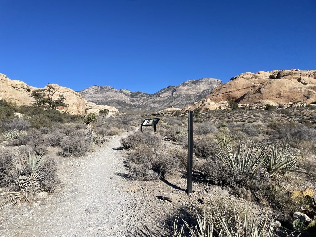
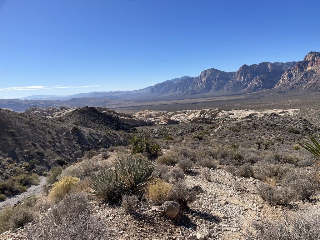
We pulled into the parking lot around 9am and I loaded up with a trekking pole, 1.5 litres of water and a snack bar for the journey. I set off from the parking lot and followed the obvious path towards the ridge line. The trail incline was very modest making it easy to set a quick running pace and I soon reached the steeper switch backs about 2.5 kilometers in. The heat was getting a bit punishing at this point, so I stopped a few times to cool down. Despite that, I found the steepest portions easy peasy compared to BC’s trails and wound up on the final ridge line after 40 minutes from the parking lot.
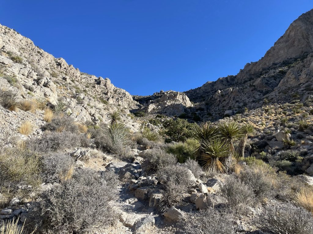
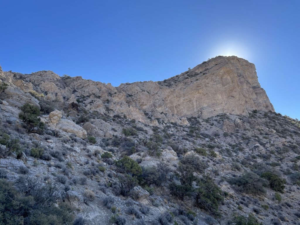
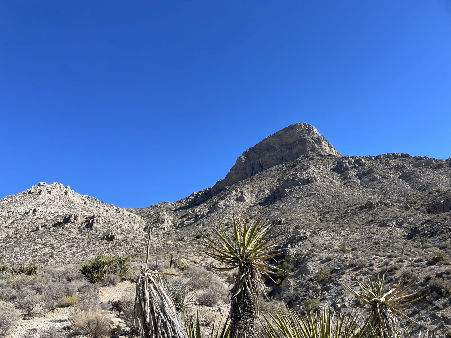
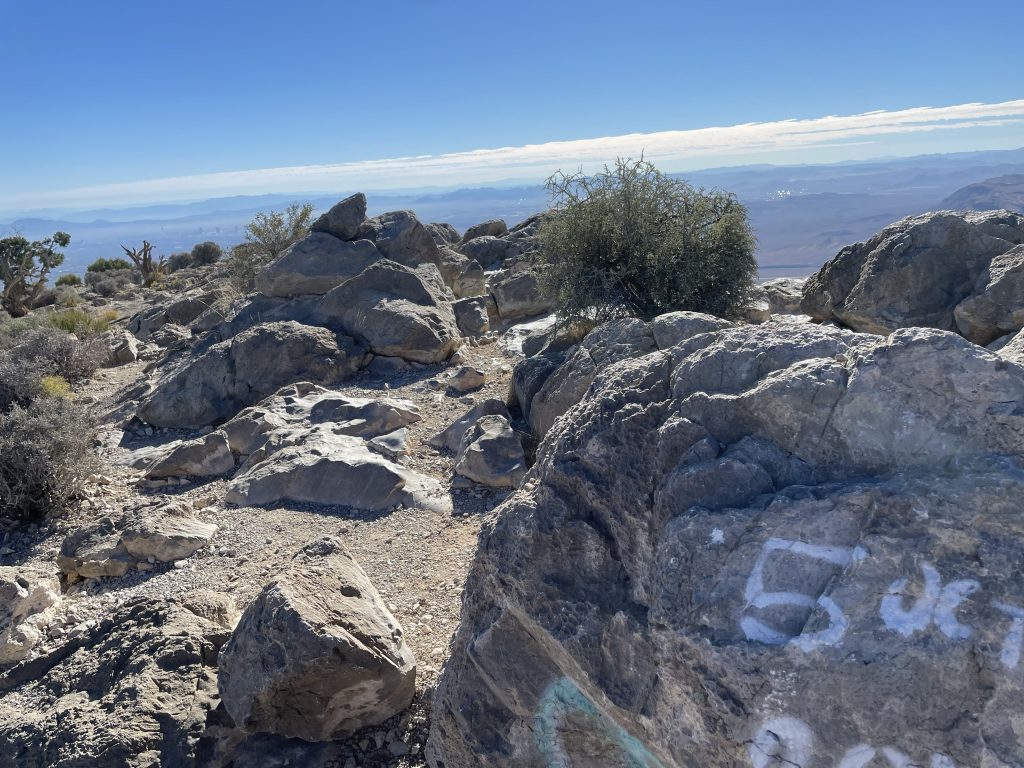
Here I wrapped around the north side and picked the most obvious looking trail up towards the summit. It was a bit foreshortened as the ridge point makes it appear that you’re almost at the top. However, there’s another 4 to 500m to go and I pushed hard to get this tedious section out of the way.
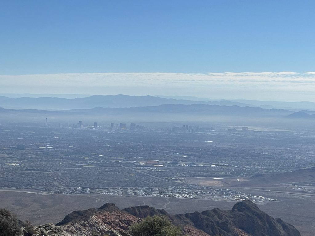
Finally, I reached the summit and had the place to myself. Looking around, I had distant views of The Strip, the surrounding climbing areas and vast desert landscapes to the North. I took a few photos and then left, hoping to get back in under 2 hours. I chose a more direct line on the descent until I reached the ridge line. Then I just followed the super obvious path all the way back to the car.
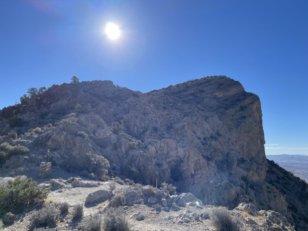
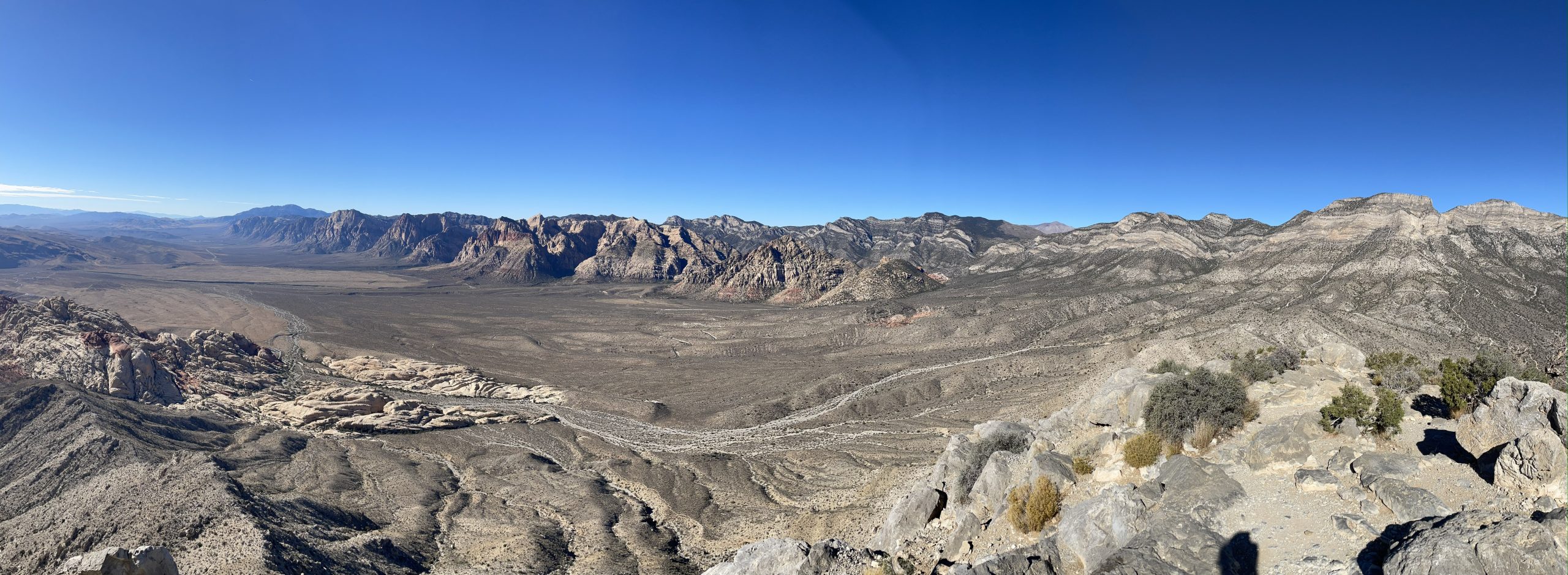

An easy and fast summit overall. I can’t imagine what it’d be like in the dead heat of the summer, but as a shoulder season activity it was perfect. There were decent views, so I’d say the effort to reward ratio was worth it. If only the summit name was cooler…. “Turtlehead” does not exactly inspire.