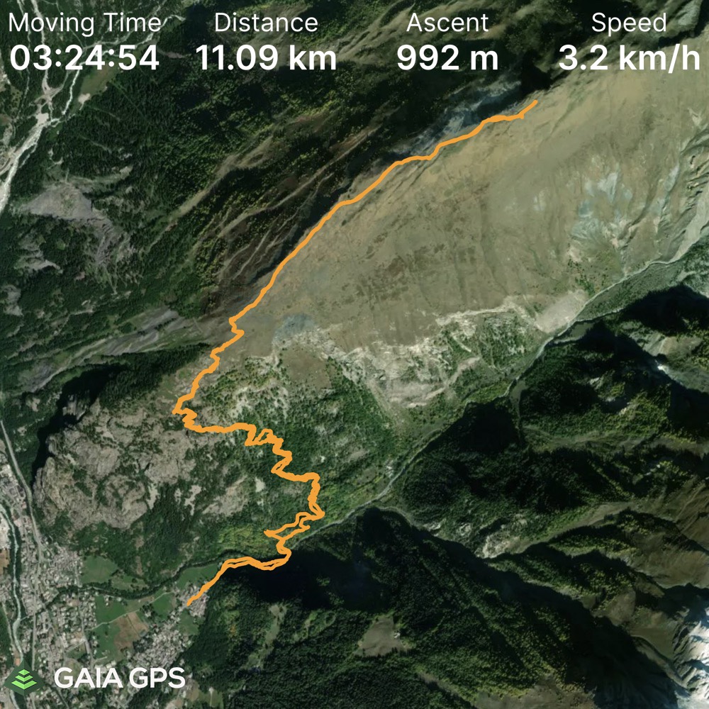
Elevation Gain: 1080m
Distance: 11.8km
Total Time: 3 hours 53 minutes
Date: March 5th, 2022
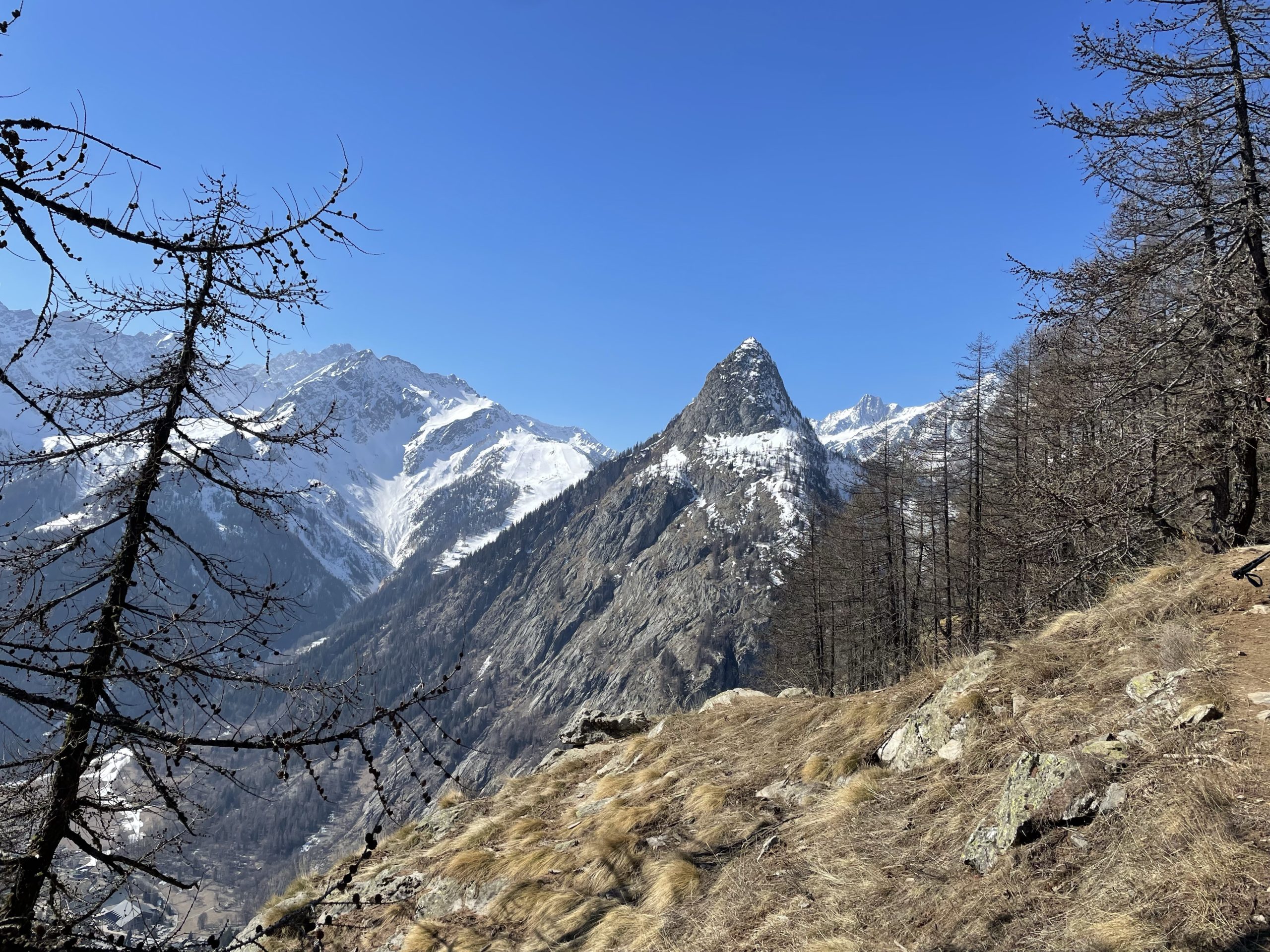
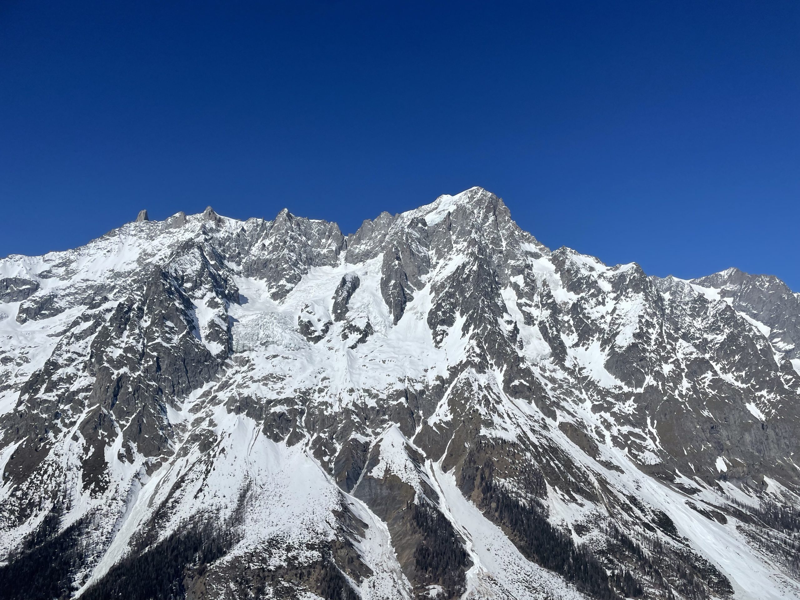
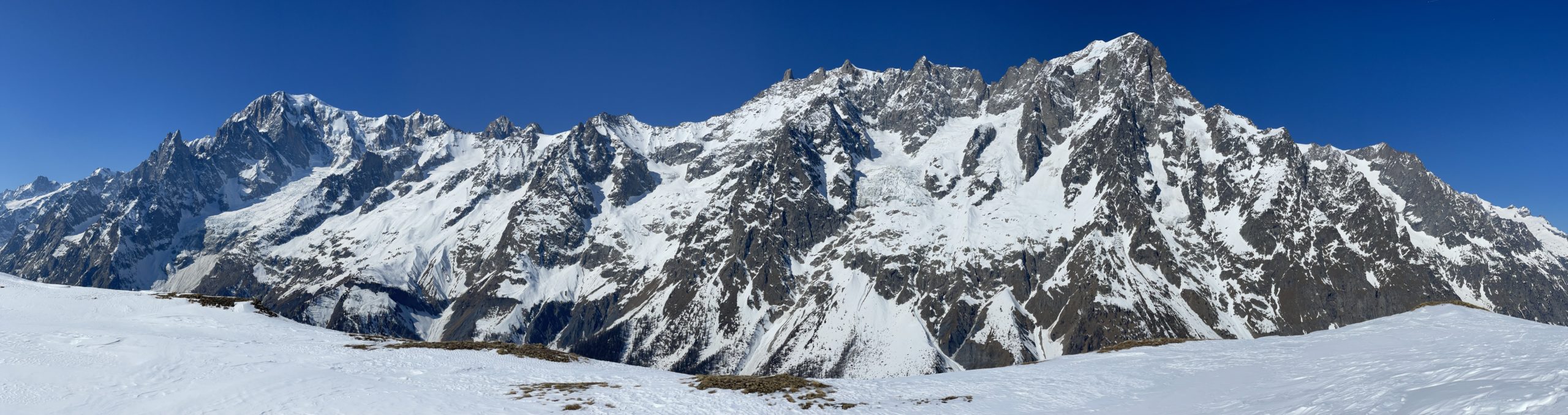
Mont de la Saxe is 2346m peak nestled among the giants of the alps near Courmayeur, Italy. Located just across the valley one can find Mont Blanc, Les Grande Jorasses and many other defining summits. Despite the alpine giants it’s surrounded by, Mont de la Saxe itself is a very easy ascent. One can make a trip to the summit in 11km round trip with a straightforward ~1080m in elevation gain.
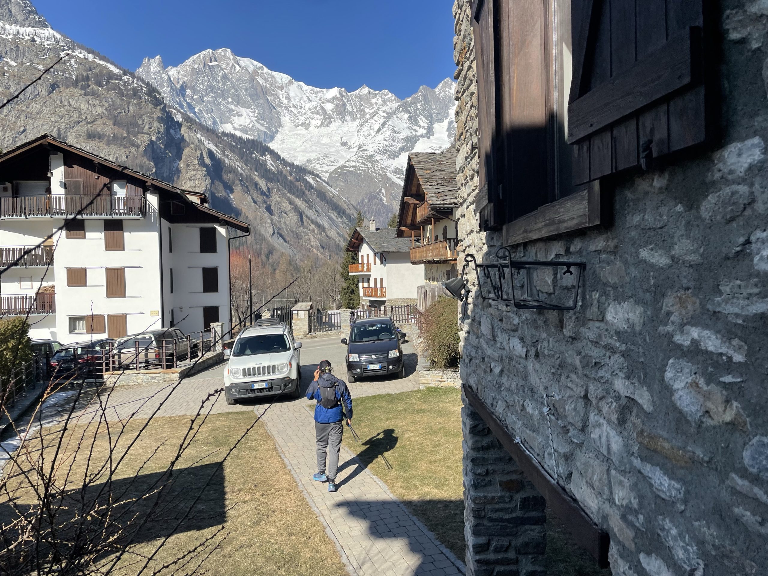
I was in Courmayeur, for the week, visiting my friends Ludamila and Gabriel doing a mix of ice and rock climbing around the area. To give our bodies some rest, Gabriel and Ludamila suggested a day hike up to the summit of Mont de la Saxe. I couldn’t resist the opportunity to grab my first summit in the alps, even if it was a minor one. More than anything I was excited for the views.
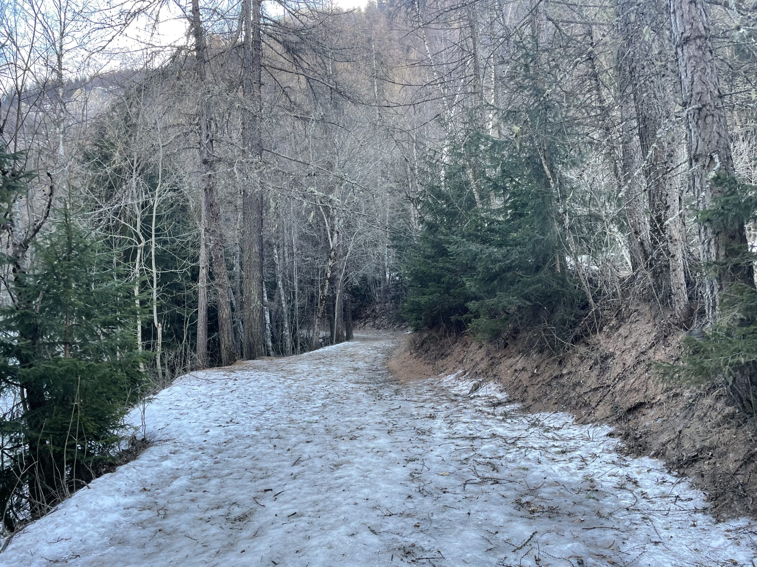
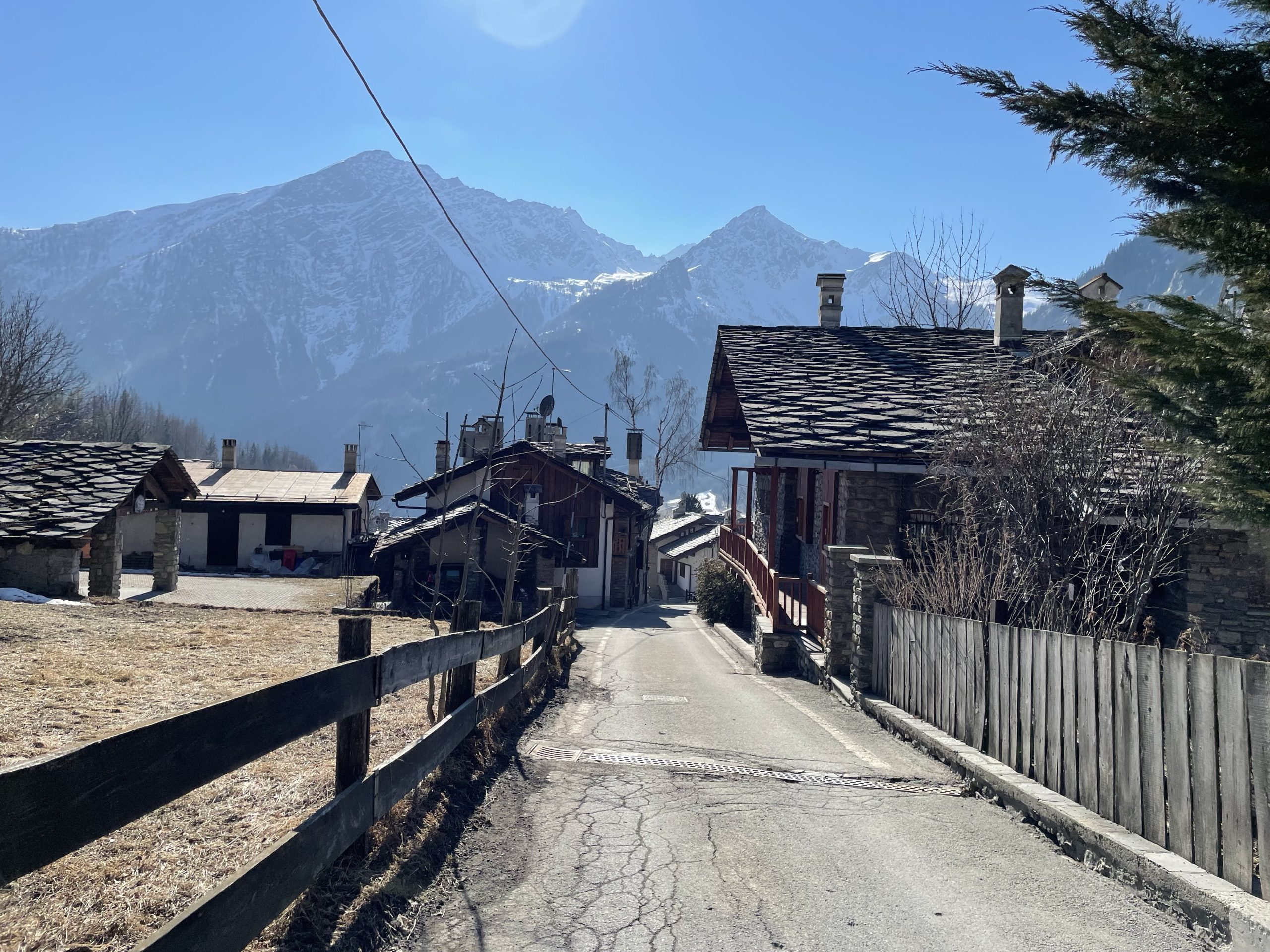
Our day started with a 10am breakfast and then a relaxed departure from their house at 11am. We walked from the house up a short section of paved road that shifted into dirt and then hard-packed ice shortly after. Despite how late in the morning it was, the air was brisk and the sunlight was still hidden behind the mountains. Thankfully this iced out section didn’t last and we reached dry trail soon after.
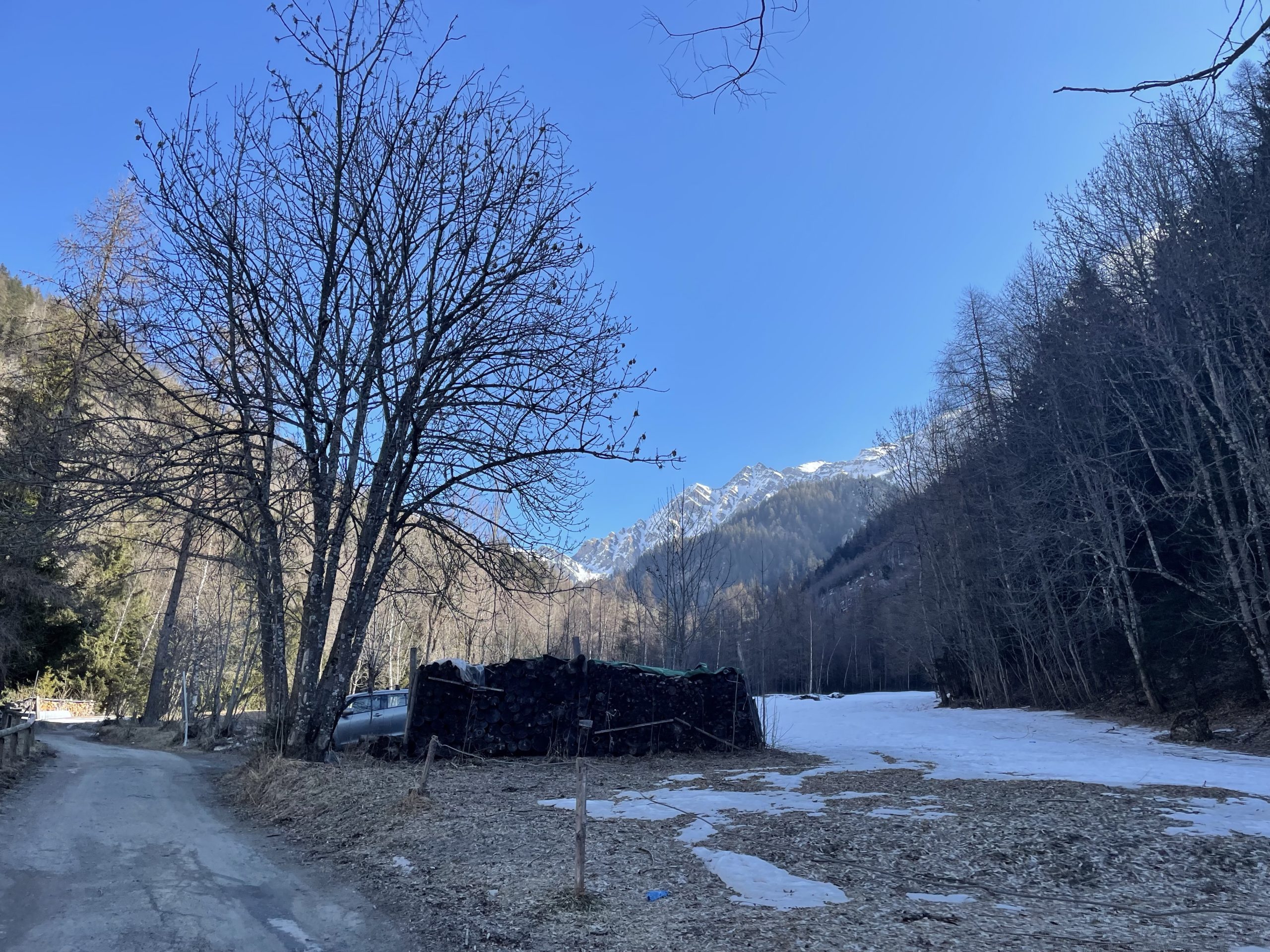
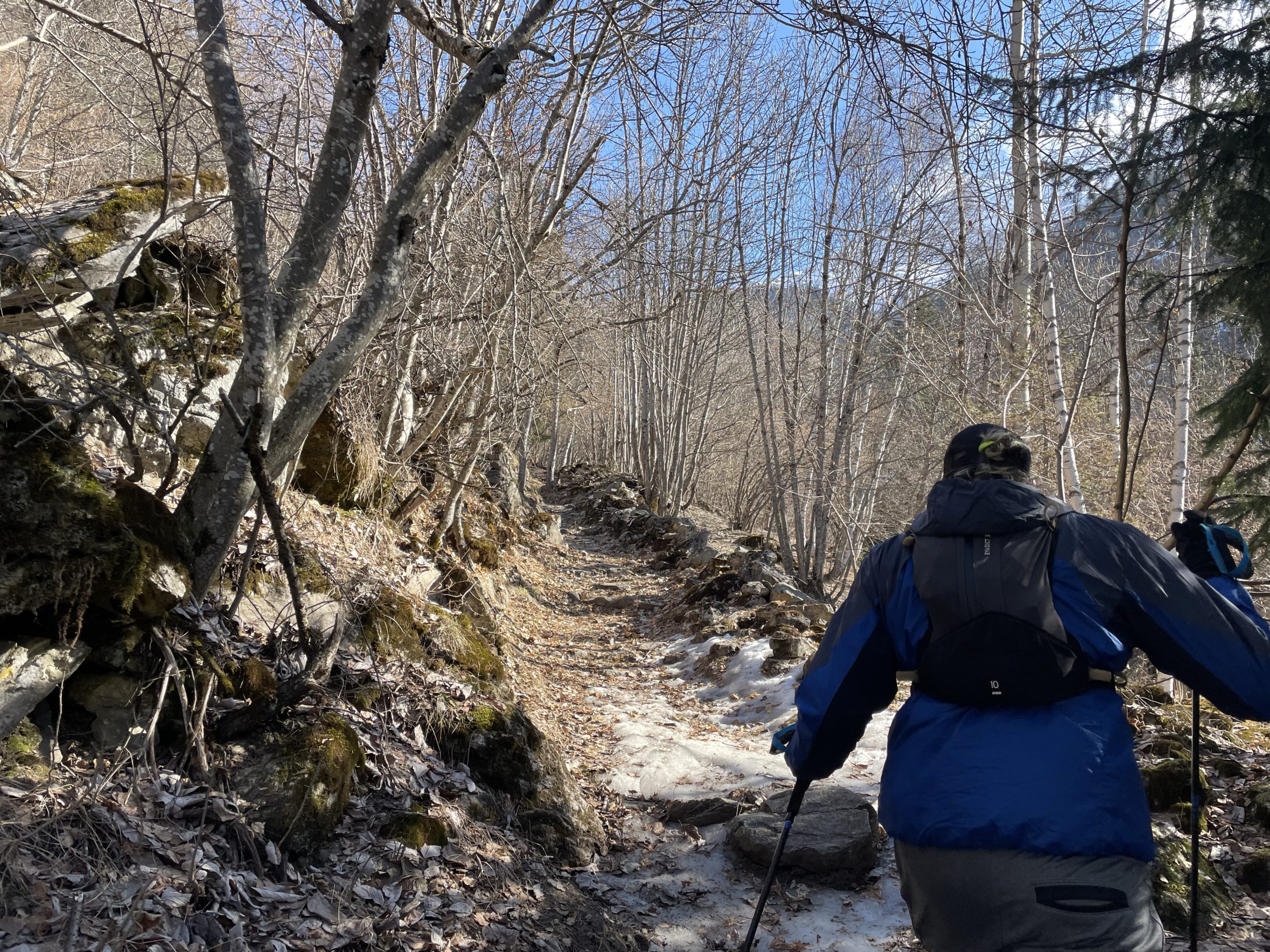
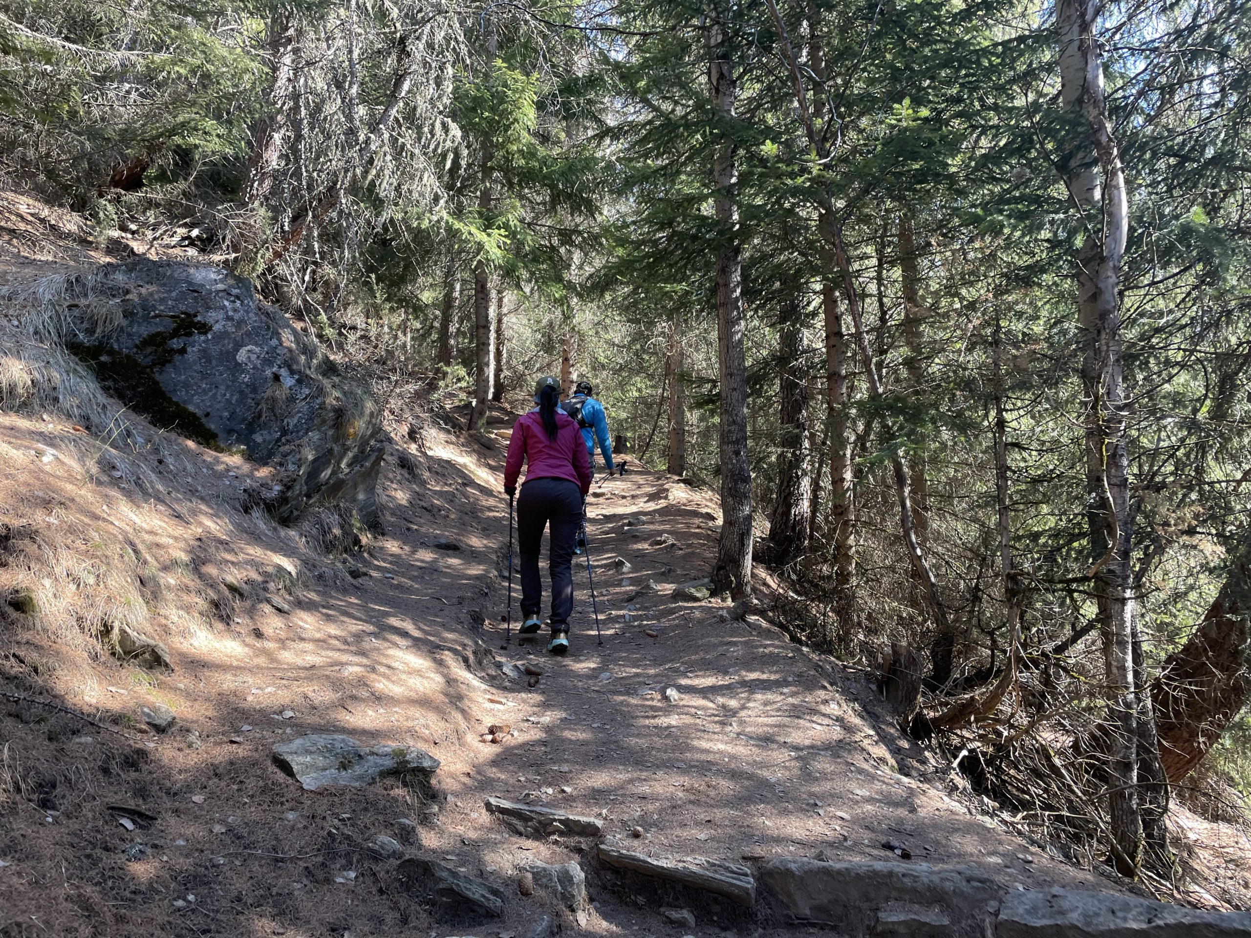
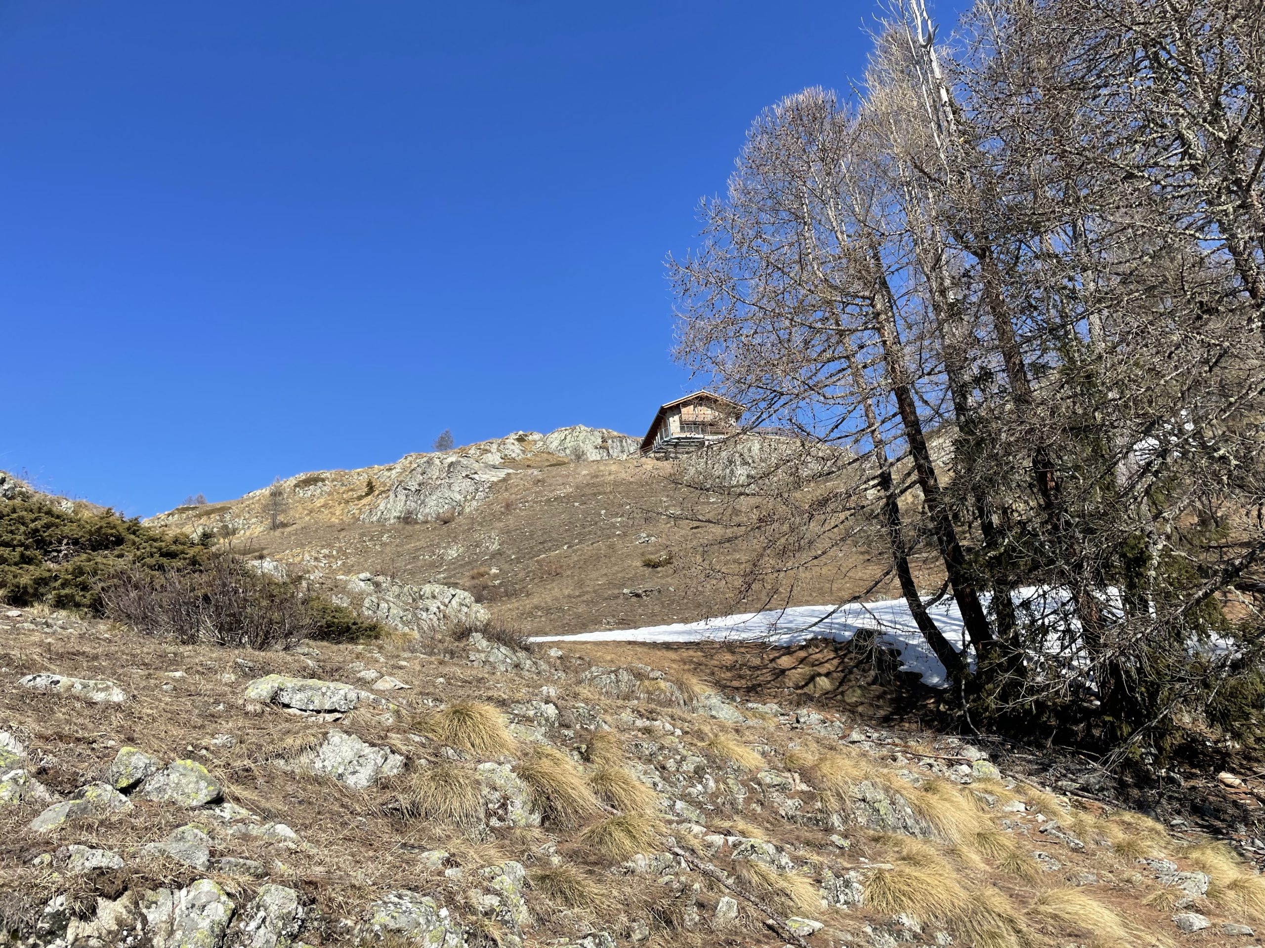
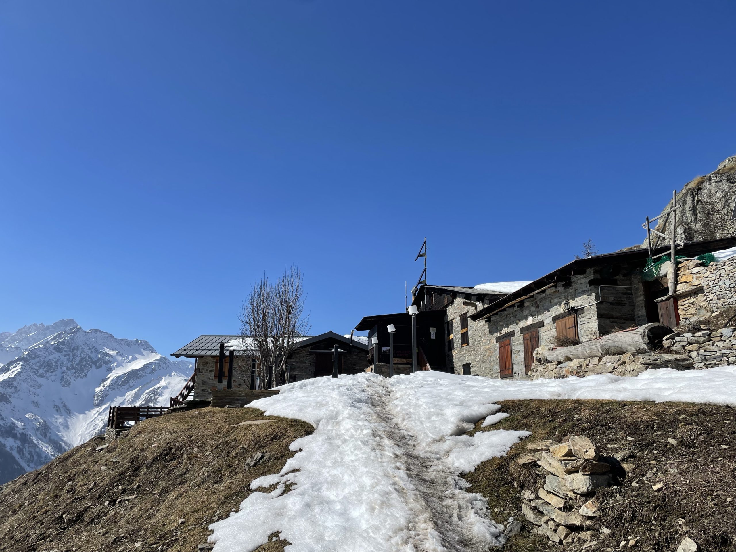
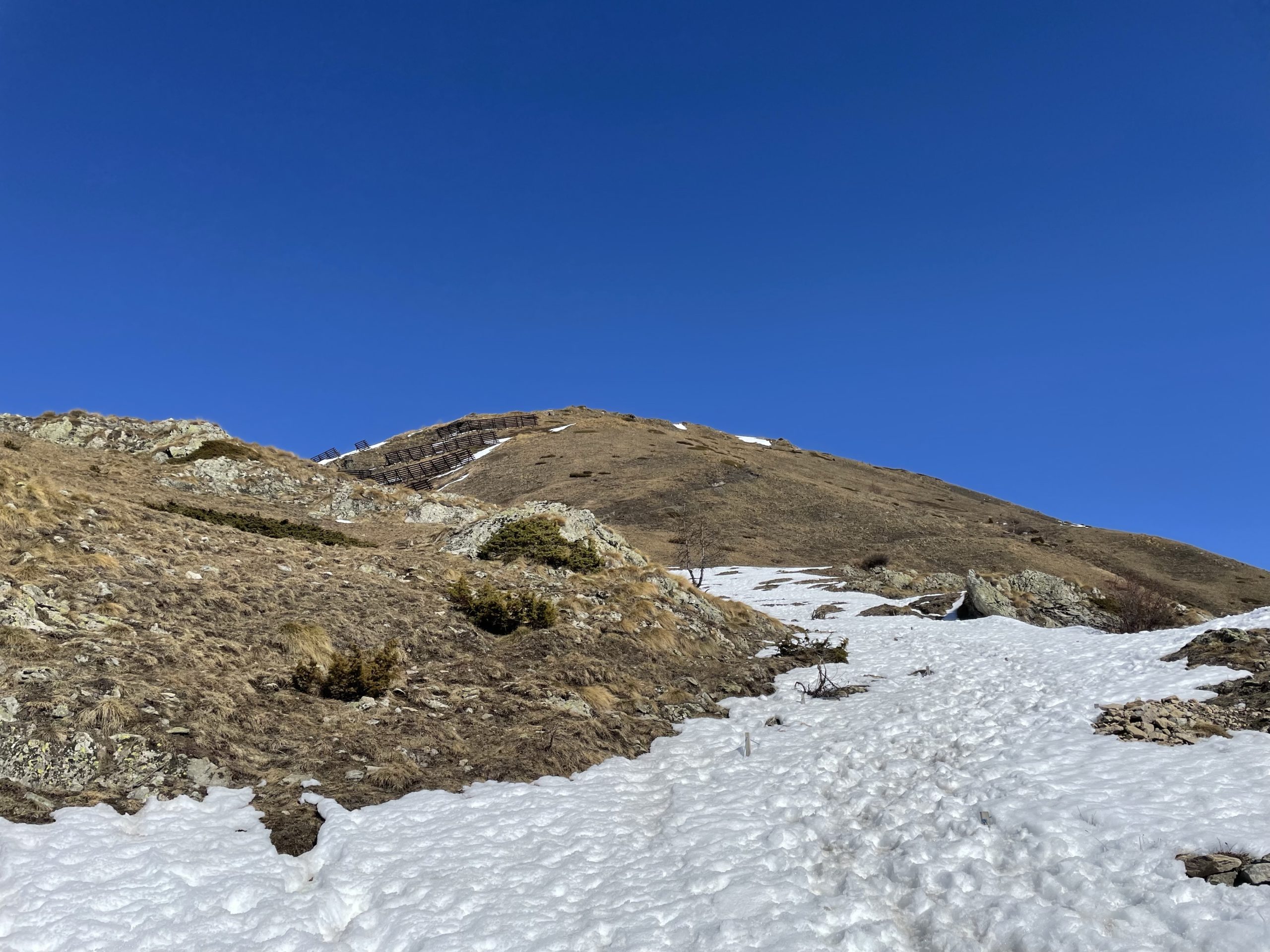
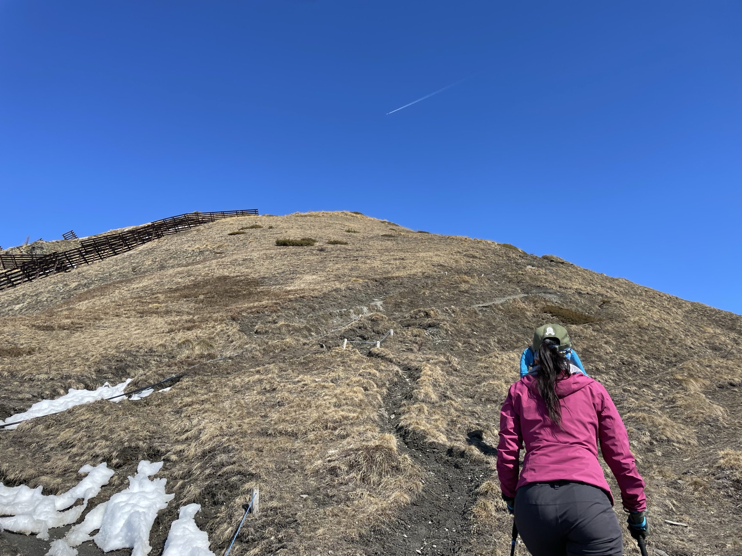
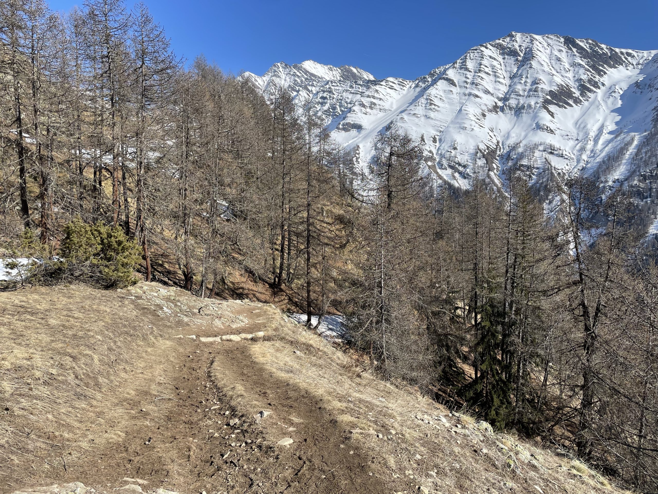
The path up was wide and not too steep and we spent most of the time chatting or reflecting. The ascent was uneventful until we arrived at around 1900m. There we came across a small commune of homes and the Giorgio Bertone Refugio. After walking past the small set of houses, the trail steepened up through a thawing out trail. Along side the path were avalanche barricades and fields of grass springing back to their summer rhythm.
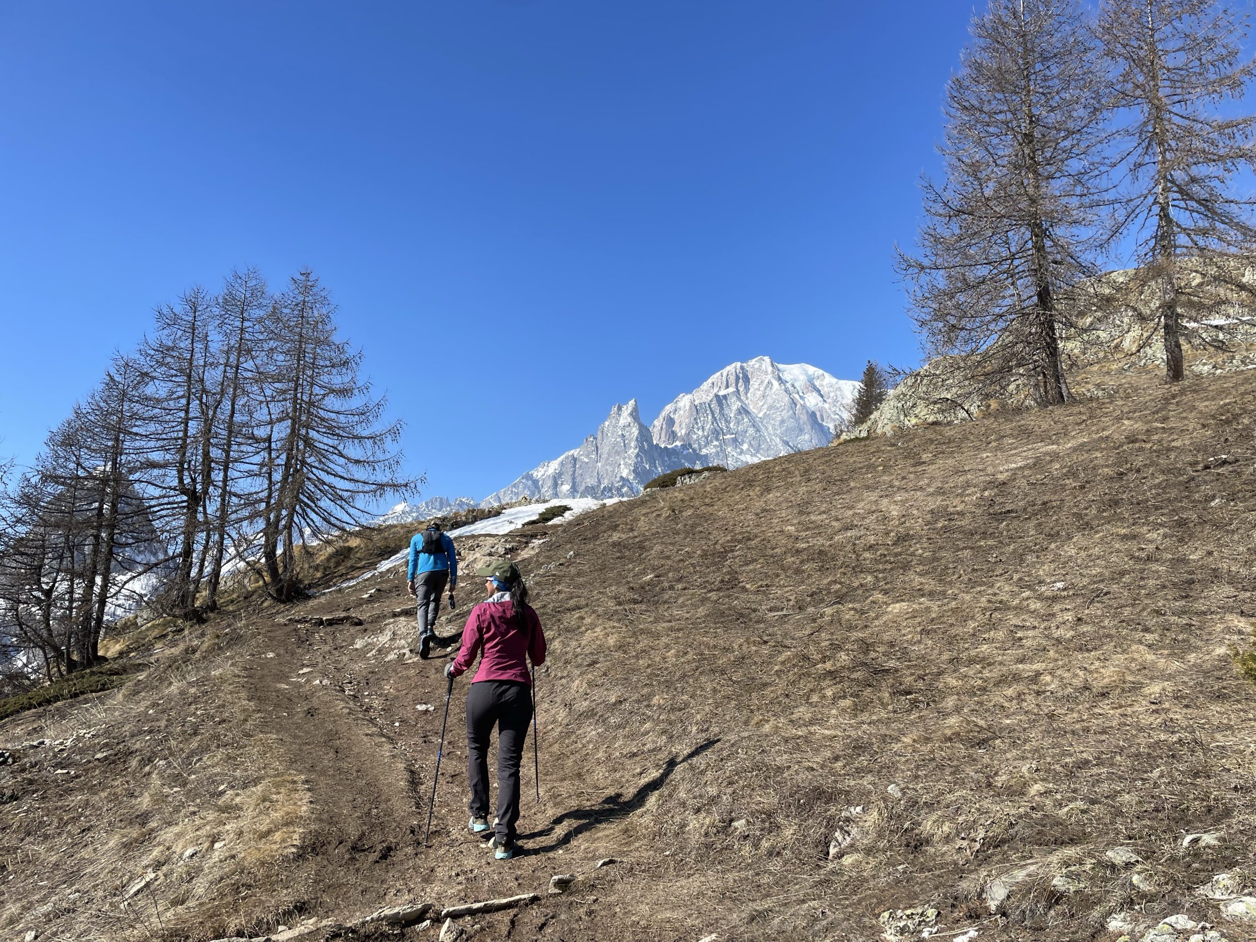
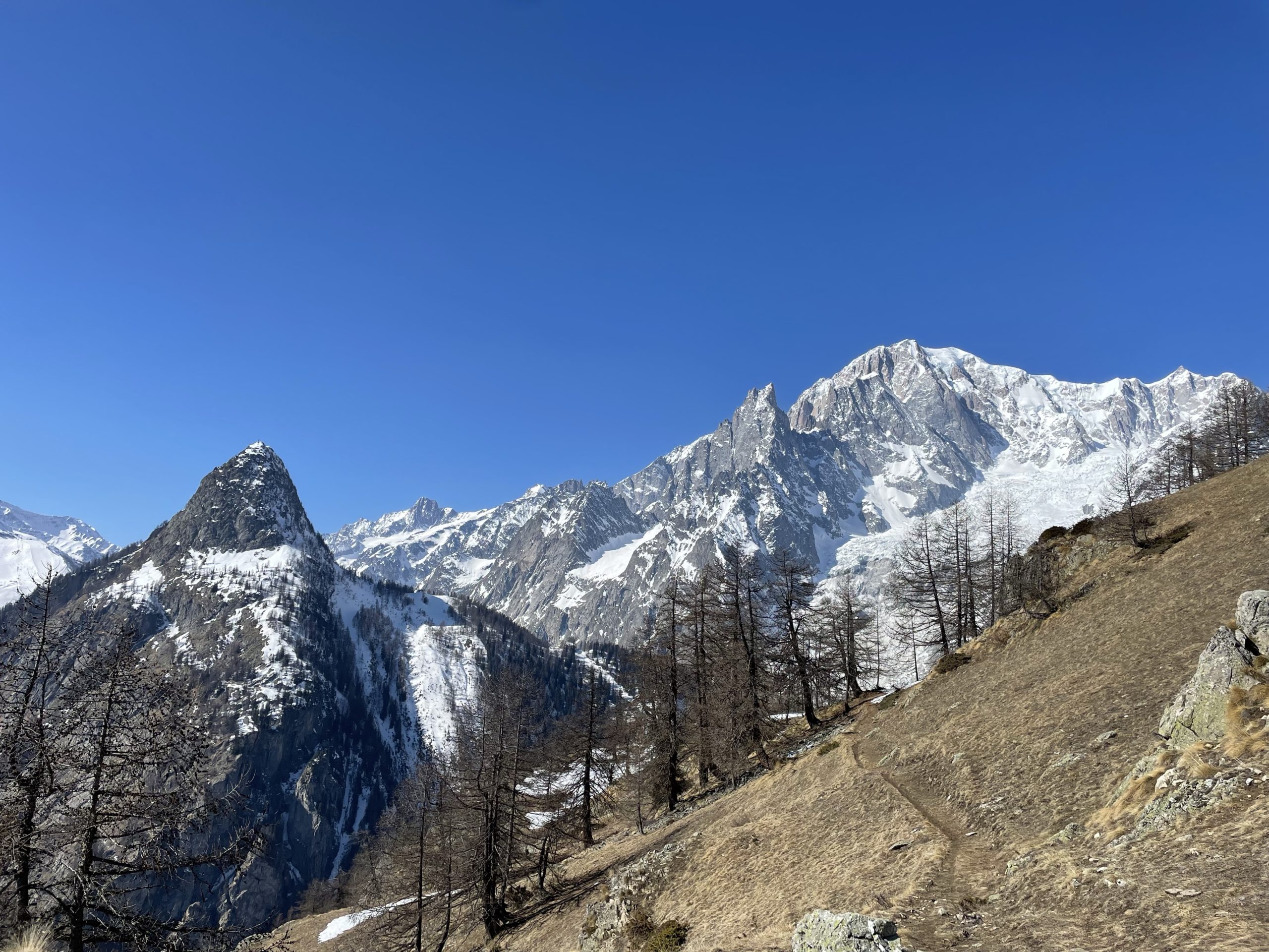
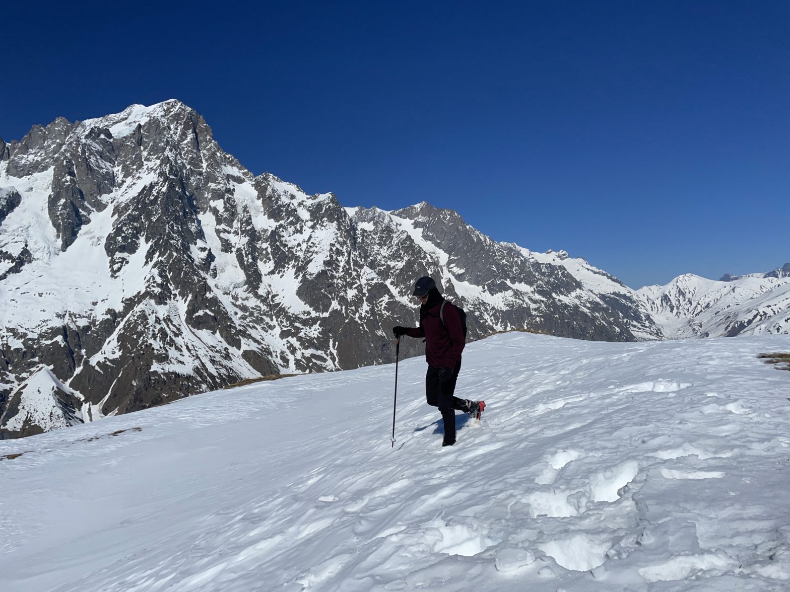
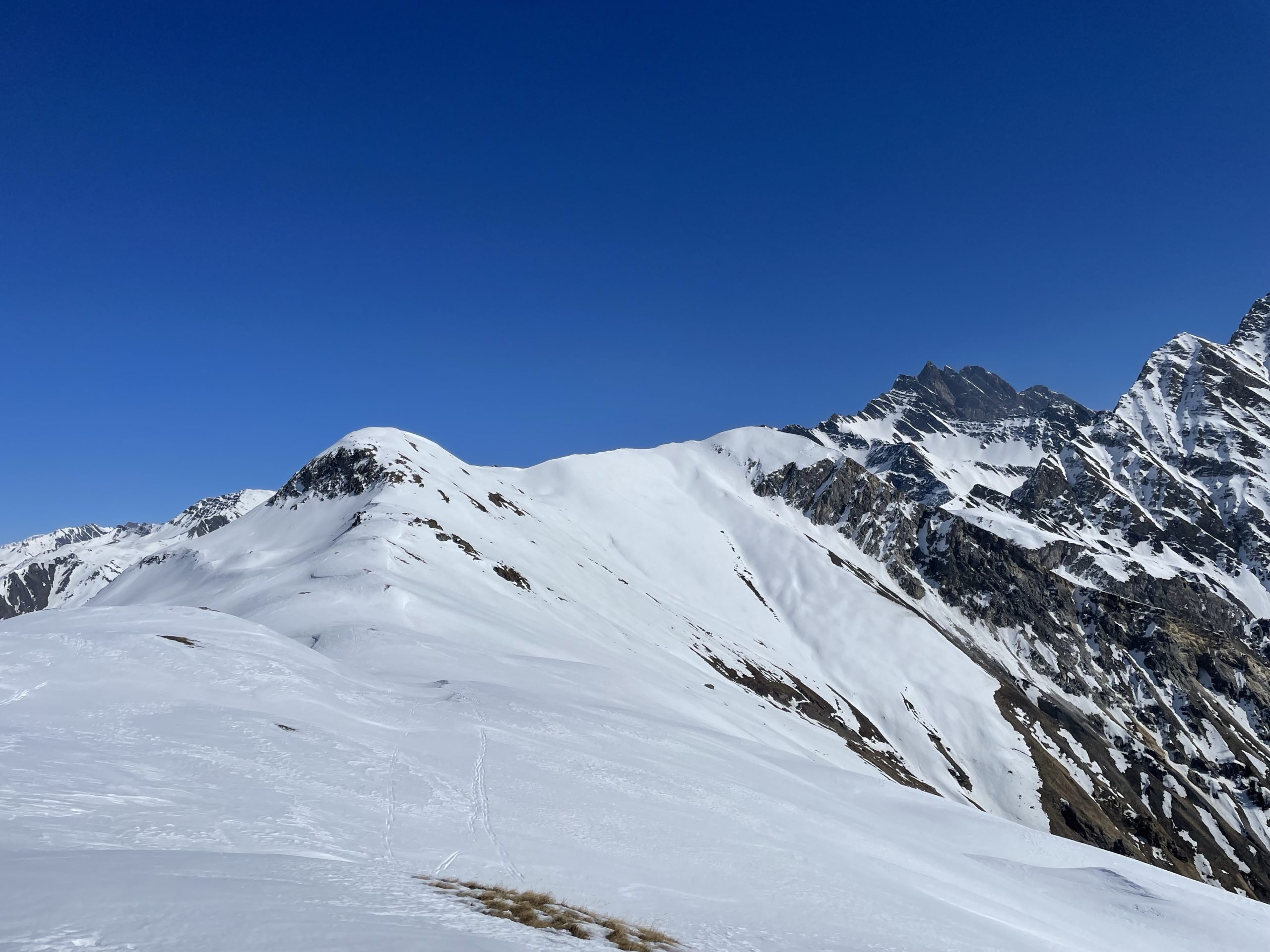
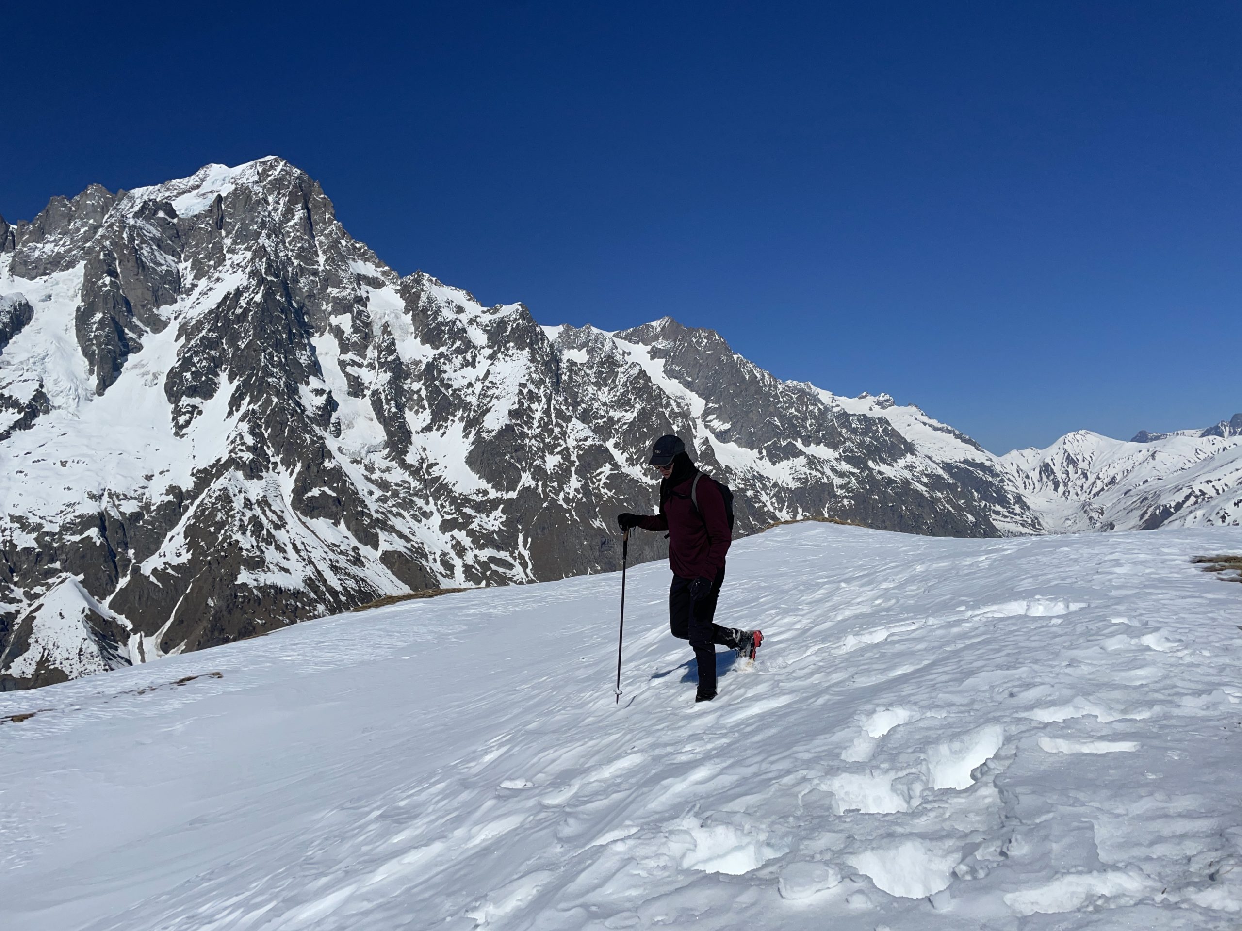
Just before cresting the steep shoulder above the refugio we hit a continuous patch of snow along the ridge. As we crested over, I had a clear shot of the ridge ramble ahead. Ludamila and Gabriel were debating turning around at this point as they’d both repeated the summit numerous times. I was keen to keep going, so they agreed to follow along a bit further.
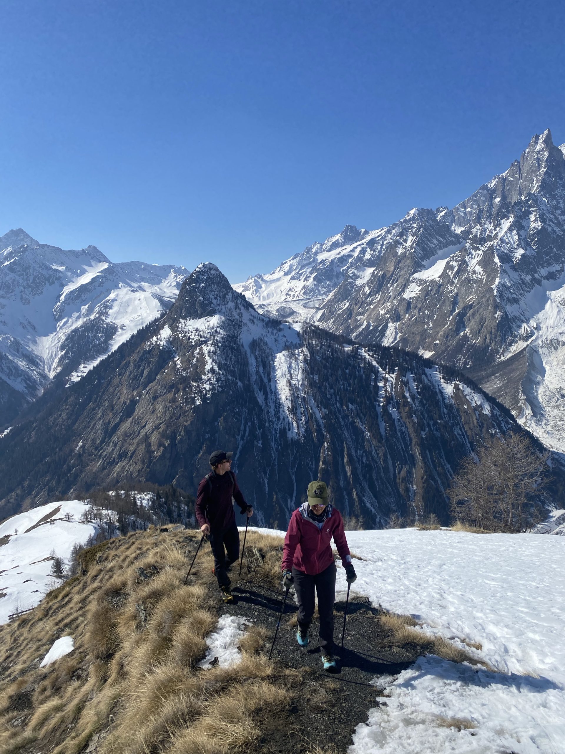
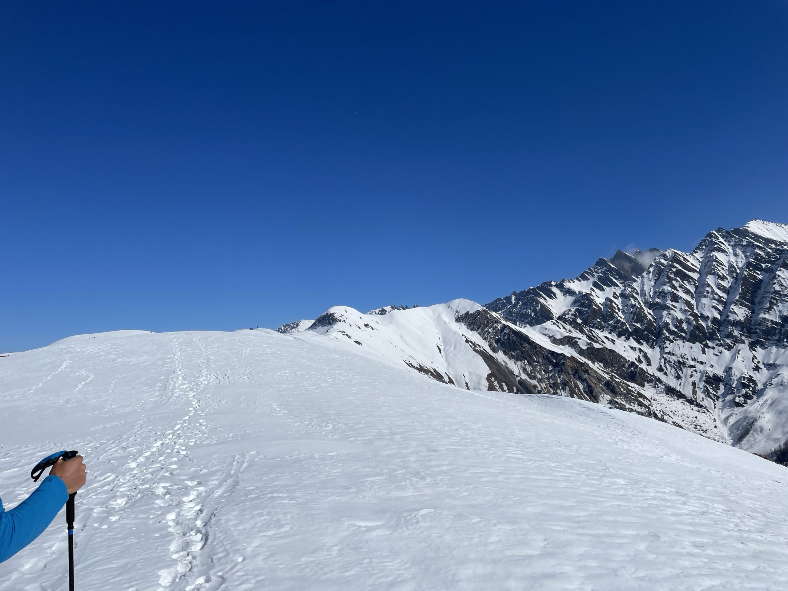
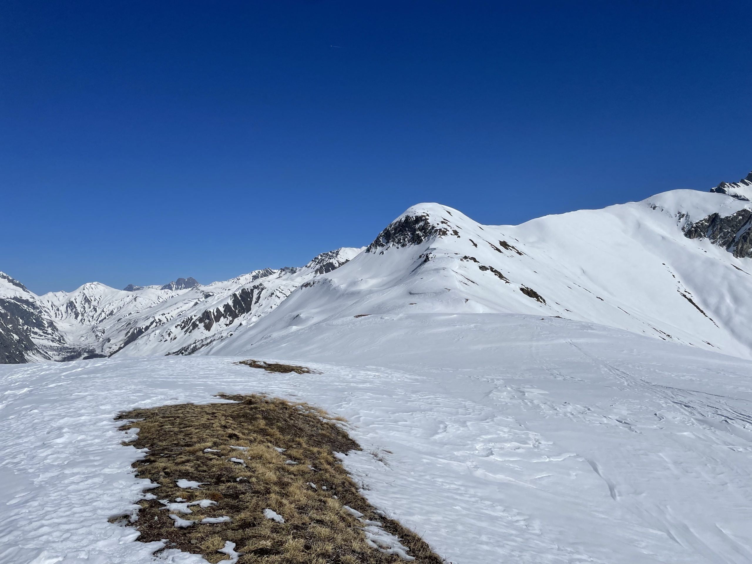
Perhaps another 100m and we were starting to post hole in the softer sections along the ridge. That was Gabriel and Ludamila’s cue to head back down as they just had running shoes on. I had mountaineering boots and of course no ascent up their yet, so made the decision to push on. We agreed to meet back at their house for lunch and parted ways. I continued onwards across variable snow conditions over the rolling ridge points. It was 40/60 post holing to firm snow with a little bit in between. It could have been 100% post holing though and I wouldn’t have minded; the views were all too distracting.
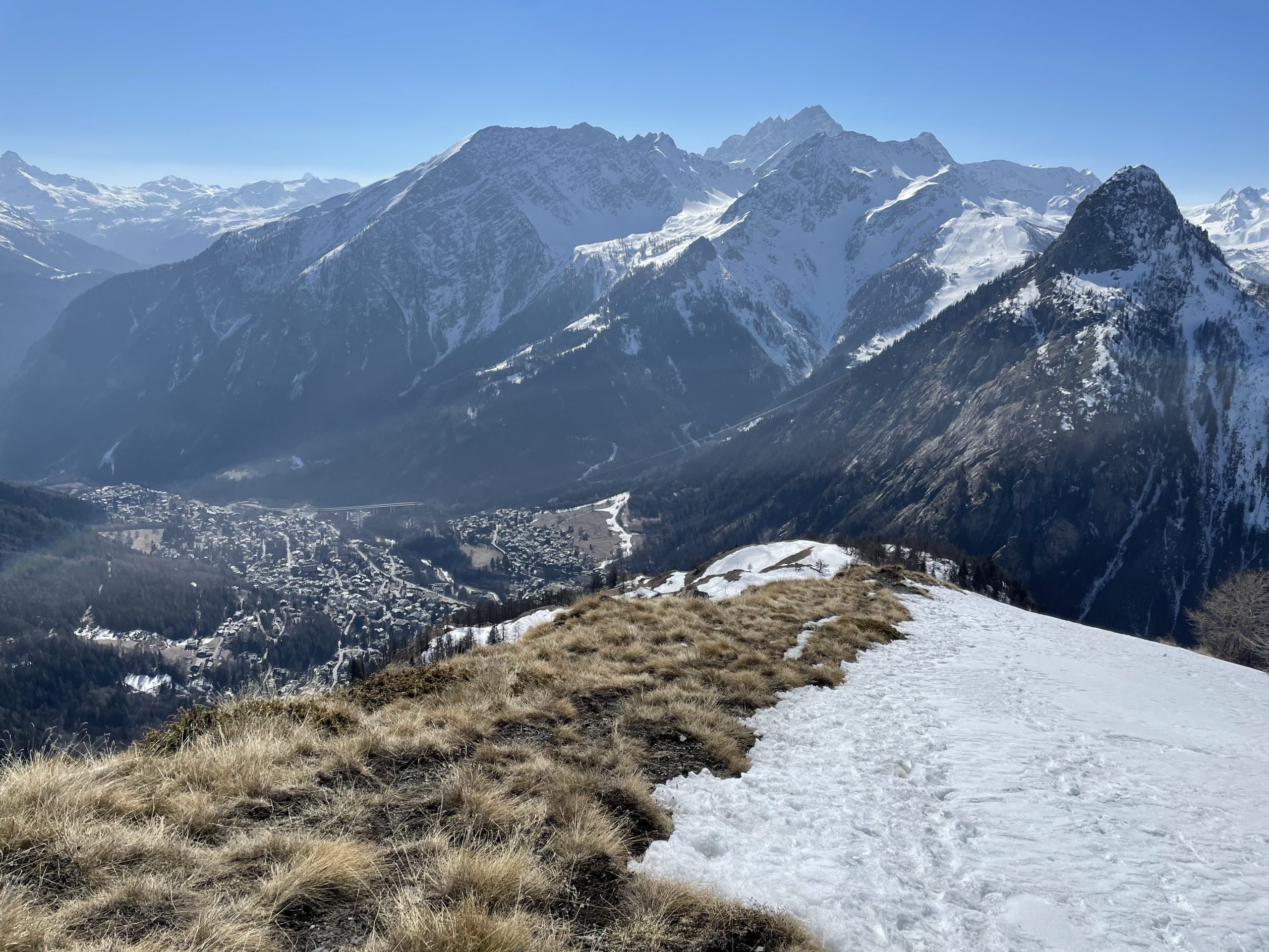
The actual summit point was a bit foreshortened from the shoulder and I had to walk another 1km and a bit to reach the summit point. Along the way I briefly ran into a set of back country skiers skinning up, but otherwise I had the ridge to myself. When I neared the visual high point, I located a cairn and had a scan around. On the map the true summit was beyond the cairn, but visually I was at the highest point. I walked an extra 20m to rule out a different highpoint, but confirmed that the cairns marked the true summit.
Now I did something I have often neglected to do. That is to take a moment and smell the flowers, metaphorically speaking. I did my best to capture a mental image and just enjoy the moment of being there. No work, no obligations except to be back for a lunch of carbanara and a mind at peace for the first time in awhile. When I felt content, I returned along the ridge.

In a few spots I was able to find better snow than my original path, but for the most part I stuck to my original steps. Then it was a slowish descent through the muddy path past the refugio. After that, I was able to run the remainder of the distance down. This path is actually one of the best I had encountered to date for running. Perfect angle and few obstacles to trip on. Before long, I reached Gabriel and Ludamila’s house and tucked in for much anticipated home made pasta with good friends. 10/10 day.