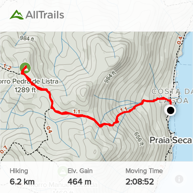
Elevation Gain: 465m
Distance: 6.22km
Total Time: 2 hours 8 minutes
Date: February 14th, 2022
Morro Pedra de Listra is another short summit along the island that makes up Florianopolis. After building some confidence in the local terrain on Morro da Lagoa, Adam and I were aiming for another summit in the area. Further north along the ridge from Morro da Lagoa were a number of interesting peaks. Many accessible by ferry only from the laguna. Two peaks were of particular interest: Morro Pedra de Listra and Morro Manuel Lacerda. On the available maps of the area, a trail ran directly from the ferry dock to the col between these mountains. Both summits appeared accessible by the same trail and so it looked like a greaty way to get a 2-for-1 ascent.
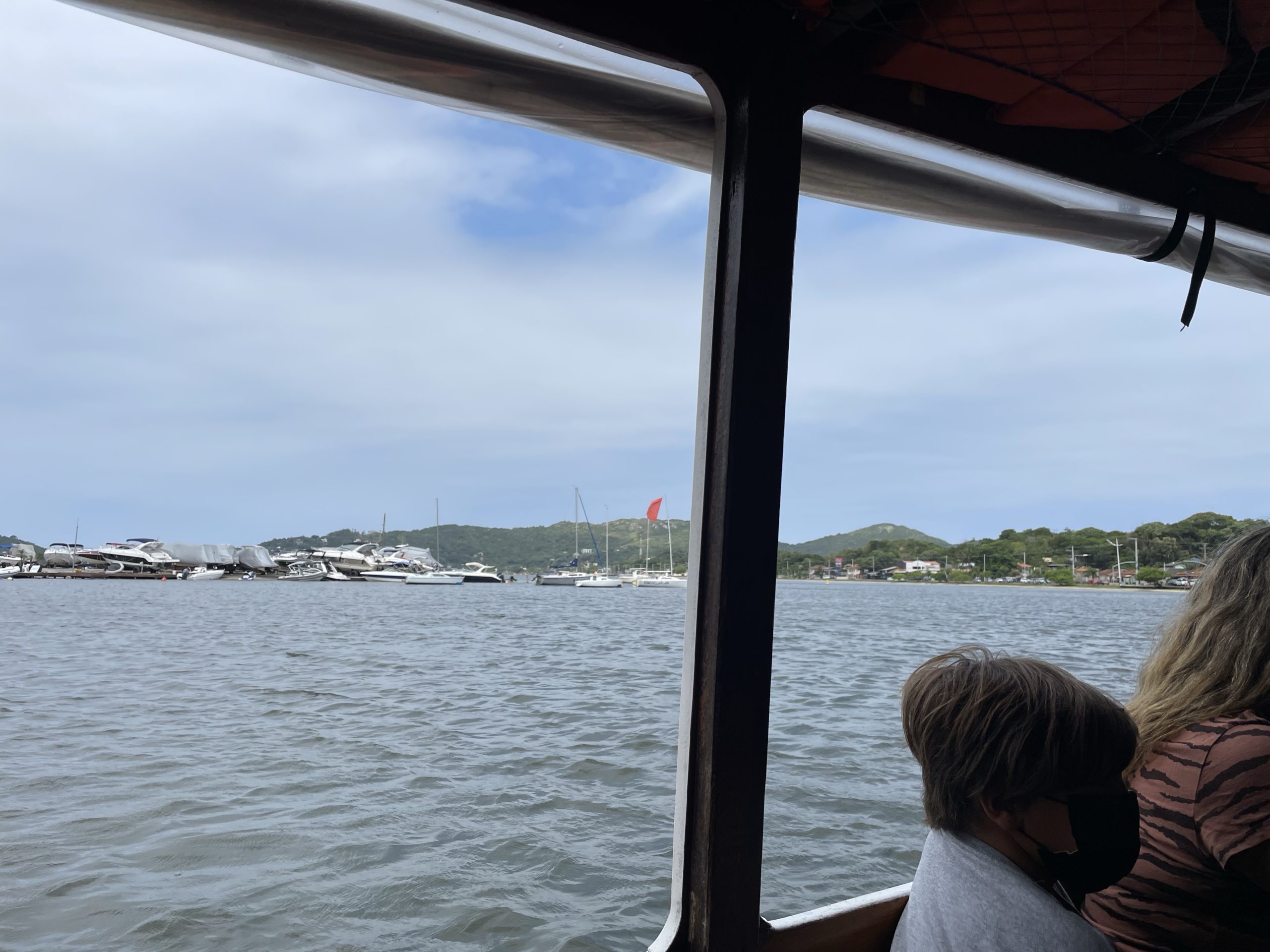
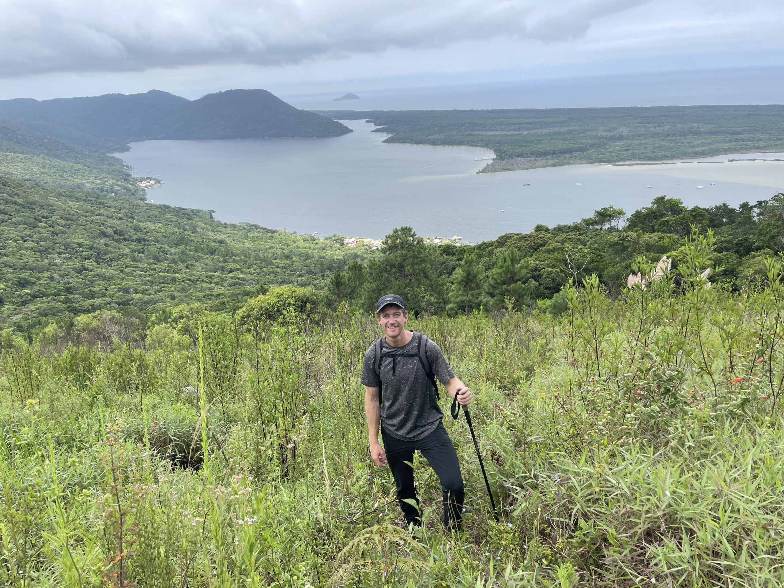
Late starts were thematic for Florianopolis, owing to the laid back island lifestyle. Adam and I weren’t ones to shed tradition and so we didn’t get started towards the ferry until 1:30pm or so. Upon arrival we realized the next ferry didn’t leave until 2:30pm an we’d need to return by 6:00pm for evening plans. That left a very interesting time constraint to reach two summits with no beta to speak of. No matter though, we’d just take things as they came.
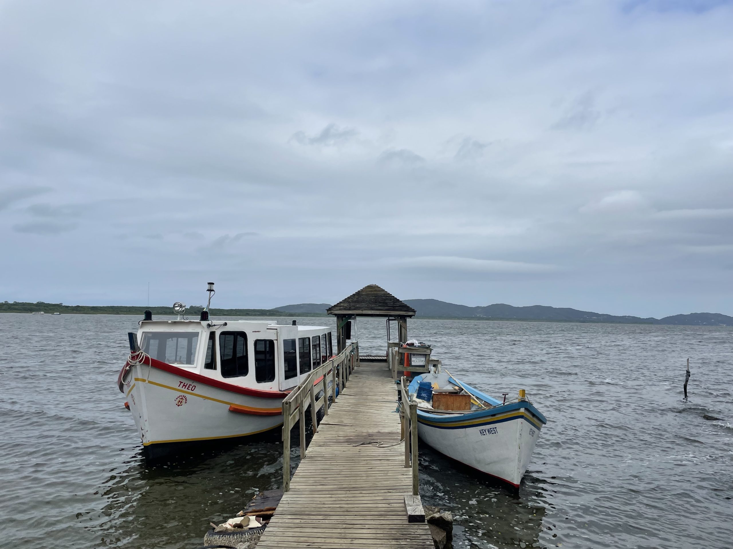
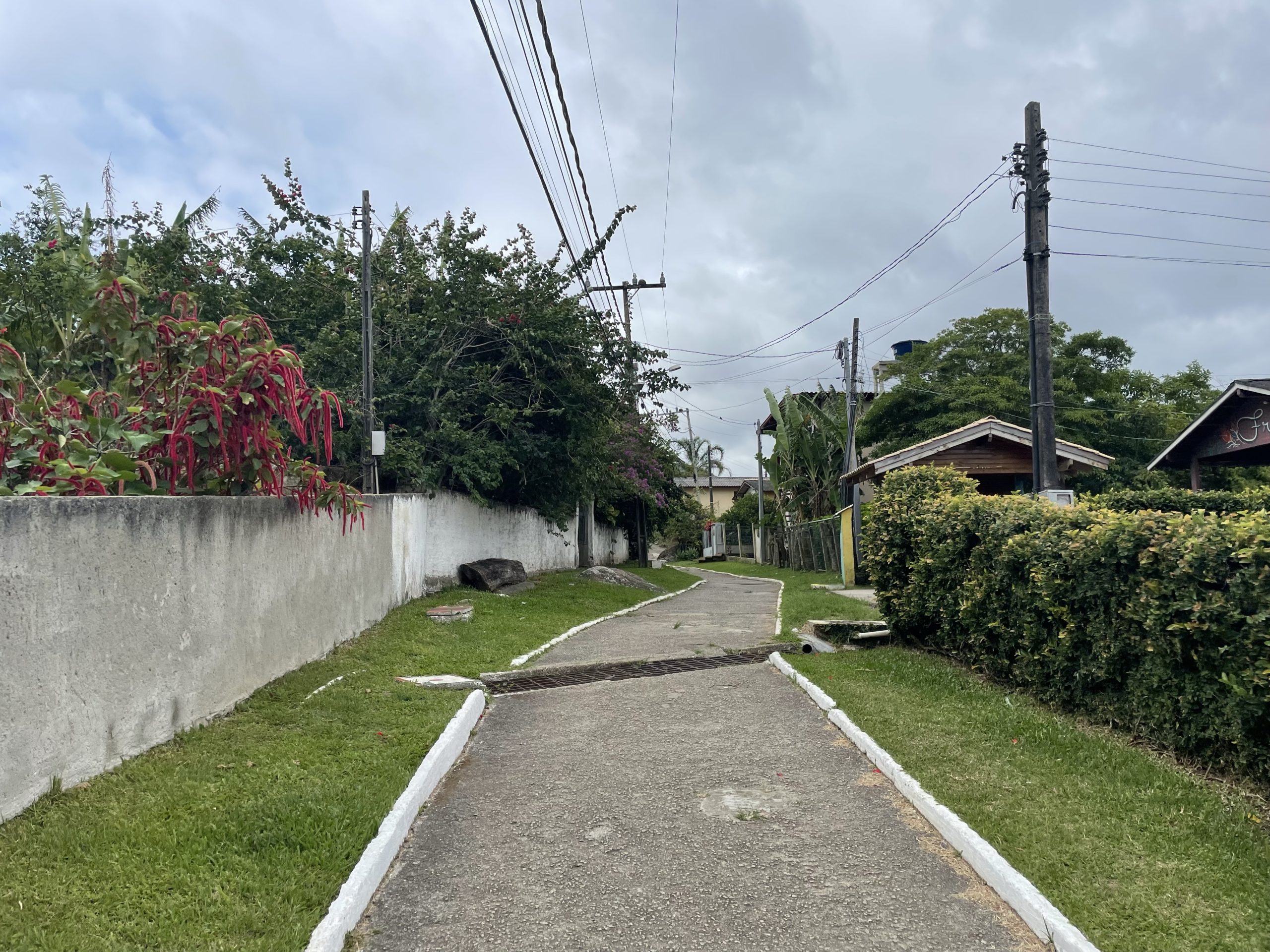
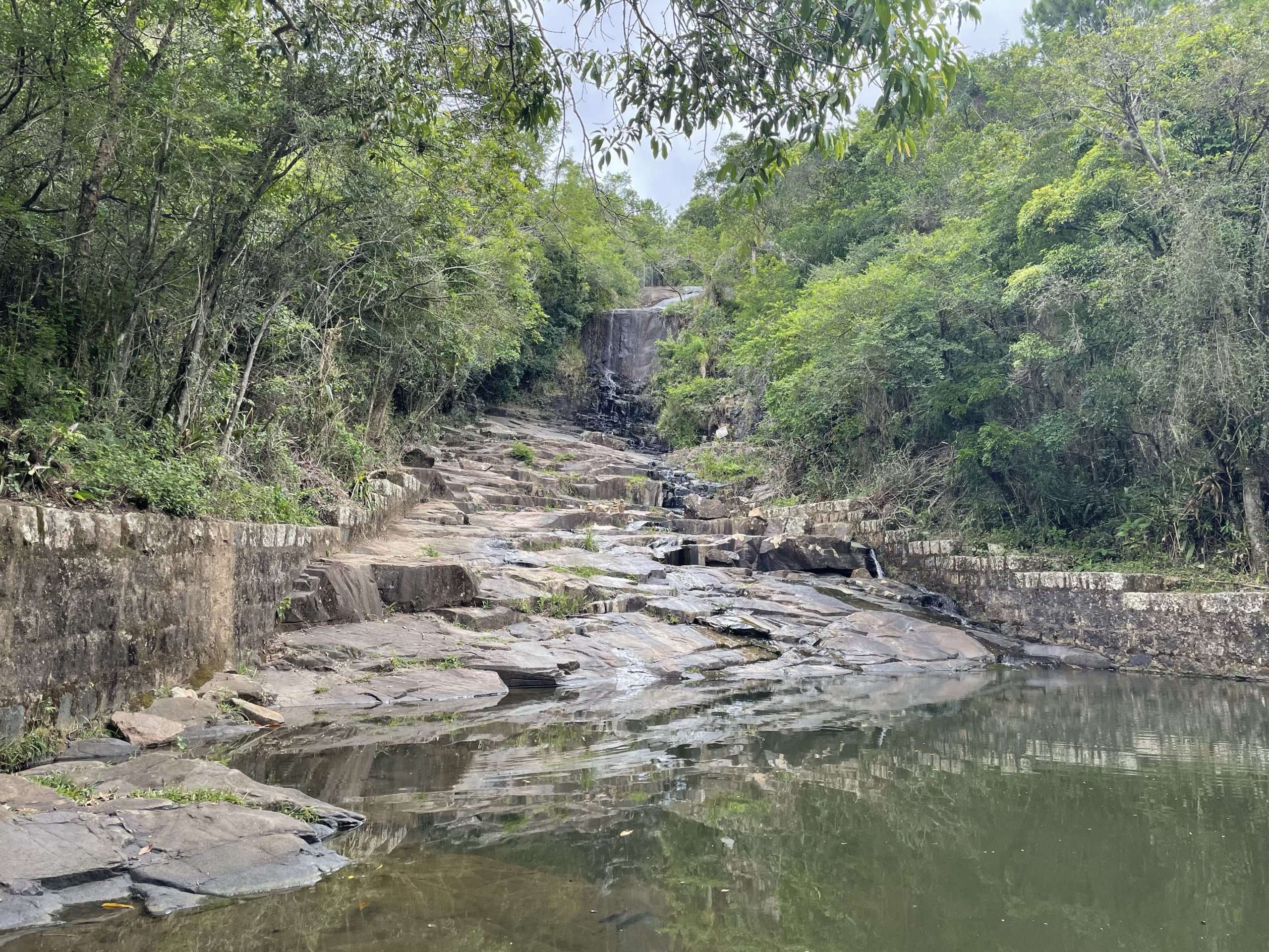
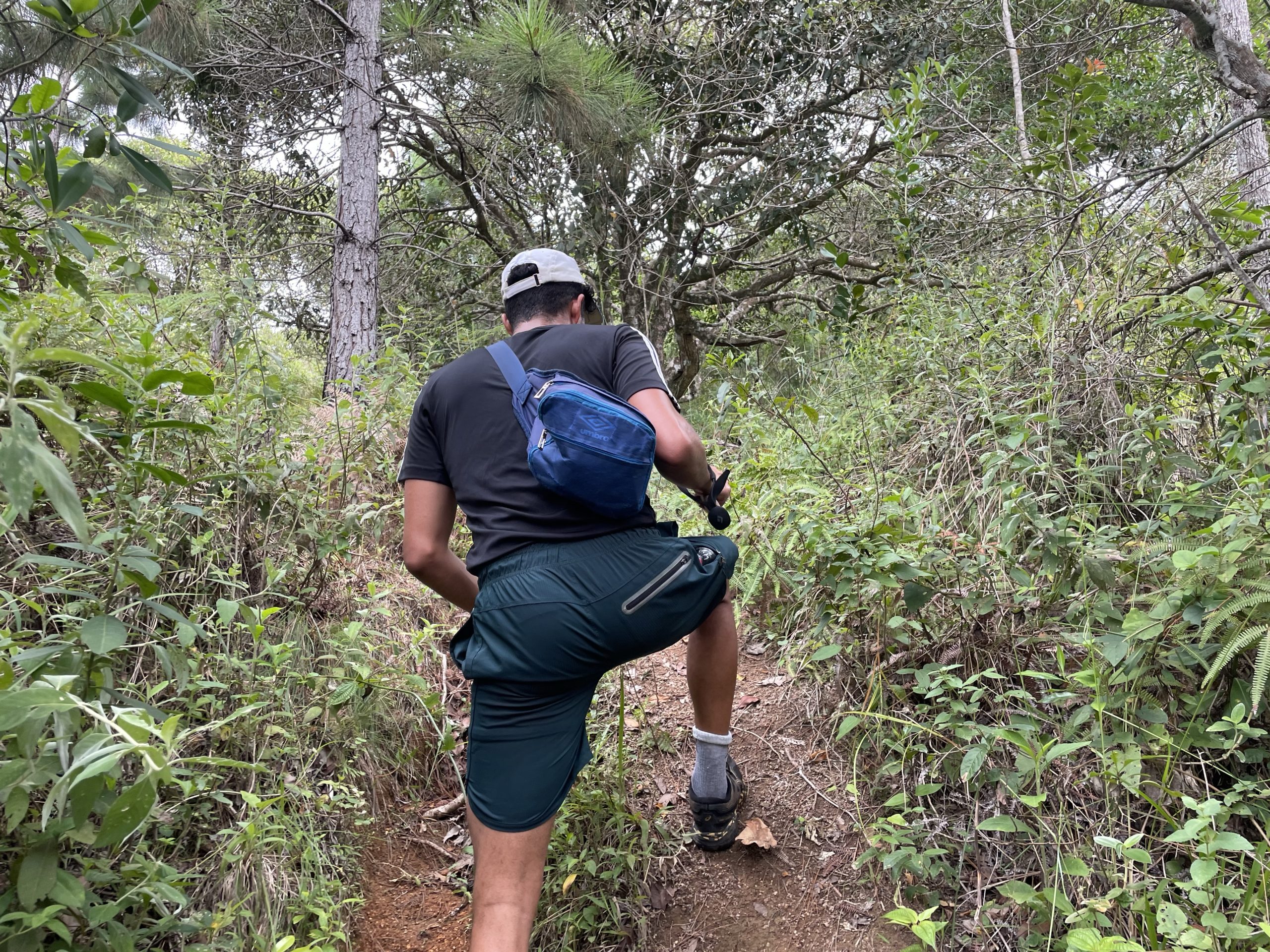
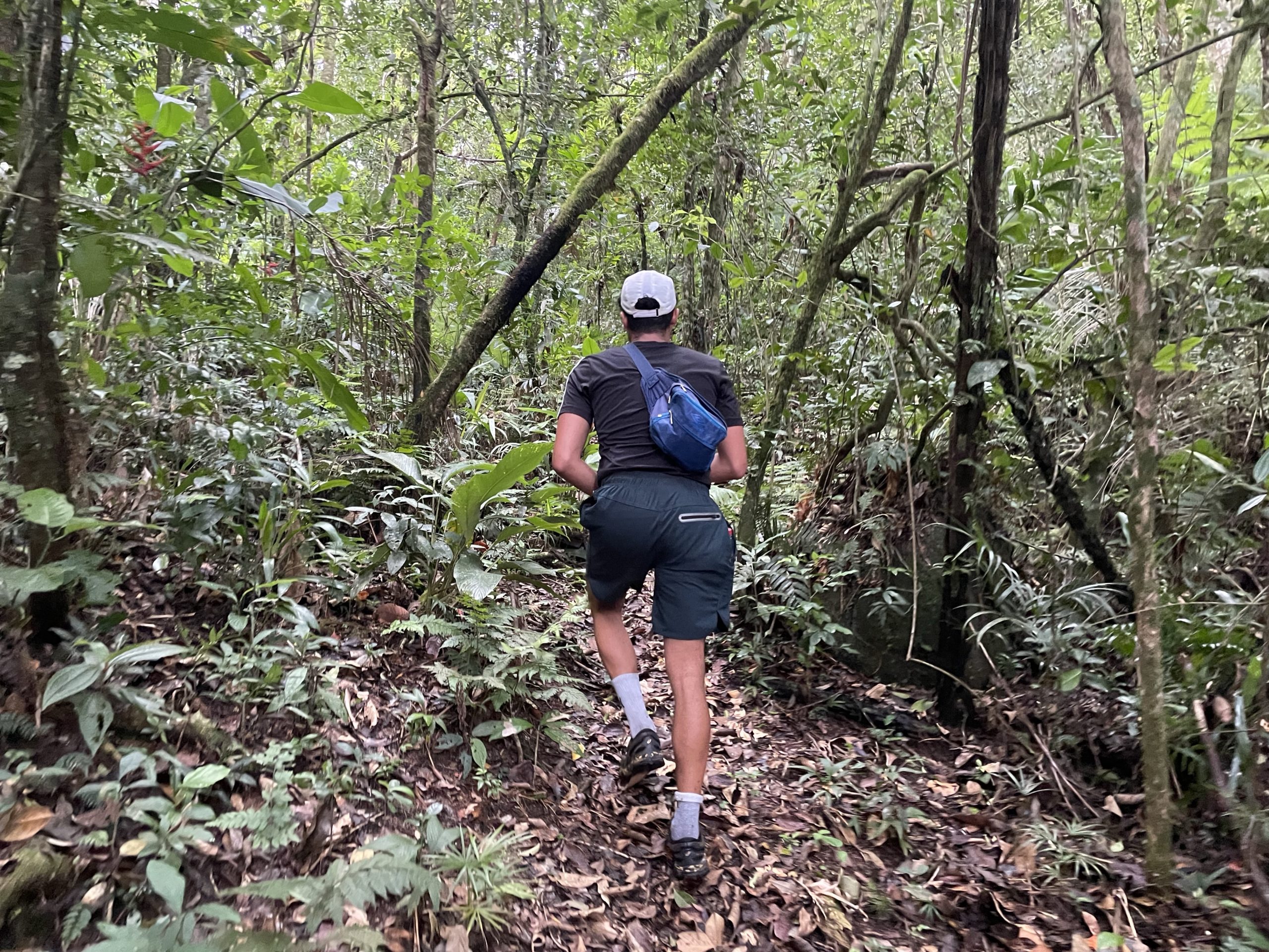
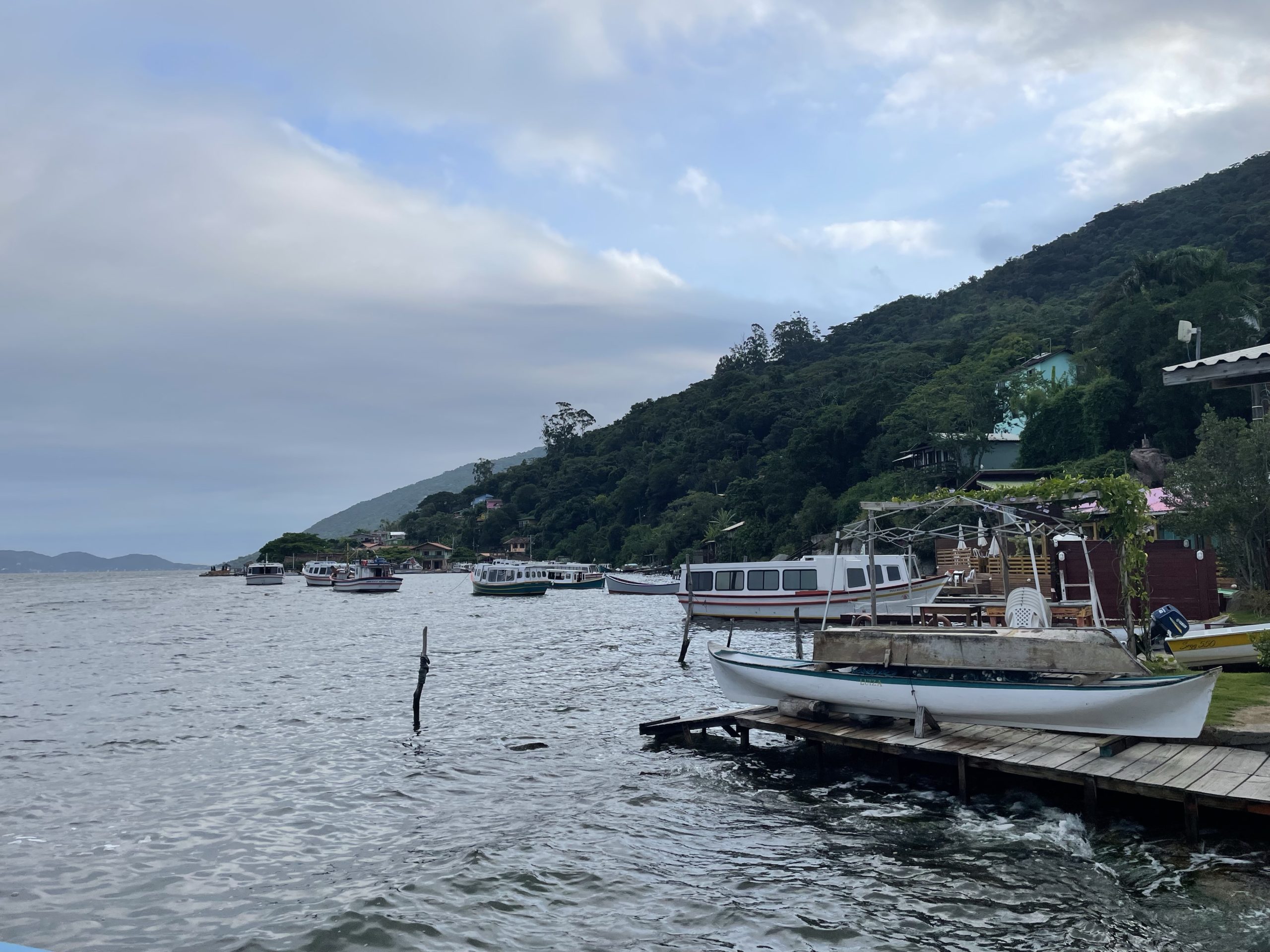
Our ferry arrived on time and after several stops, we reached the small hamlet that sat at the base of our objectives. We followed a paved foot path through the houses and then turned up towards the mountains along a wide dirt path. Perhaps 5 minutes in and we reached the base of nearly dried out waterfall. A sign warned about progressing any further, but I could see on my map there was supposed to be a trail beyond this point. We hopped a man made wall and traversed across the dry slabs of the water fall until we spotted a trail up. Adam made the unfortuante mistake of stepping on a wet section and slipped out immediately. He recovered quickly and we continued our way up the trail.
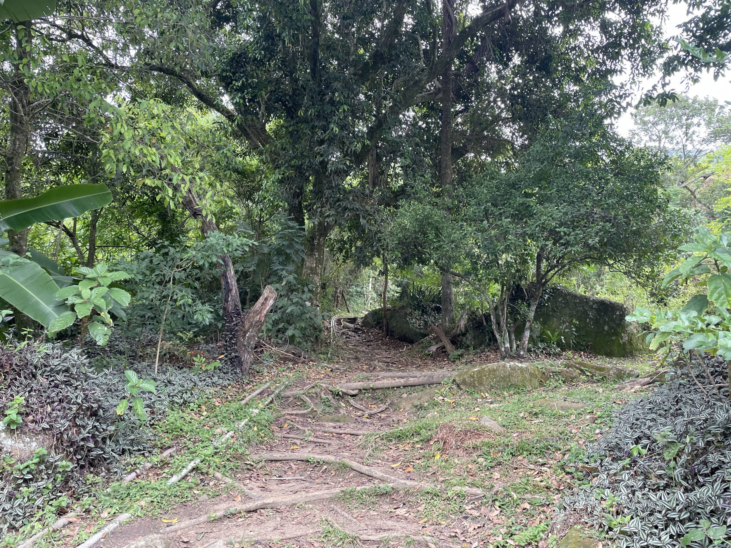
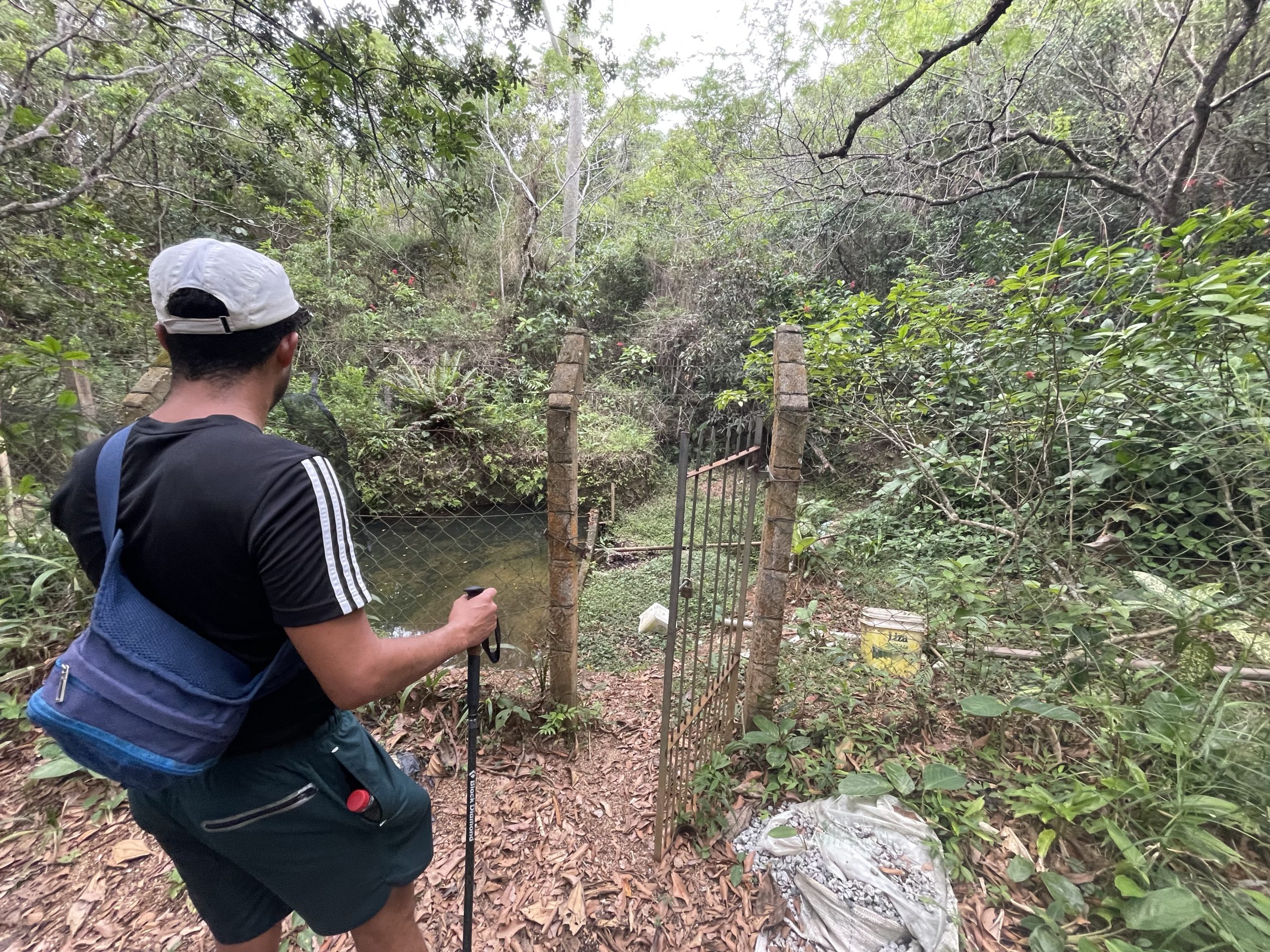
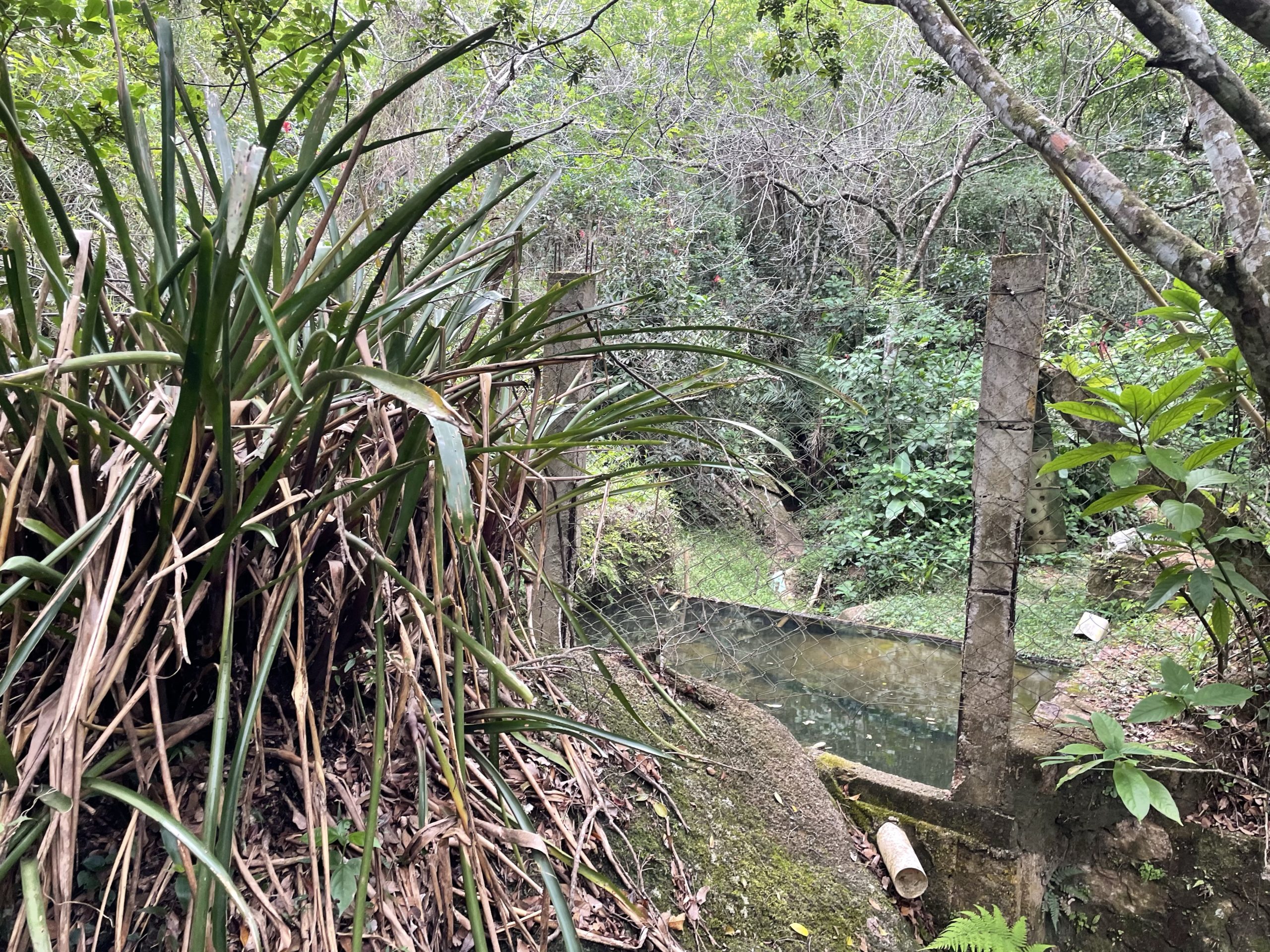
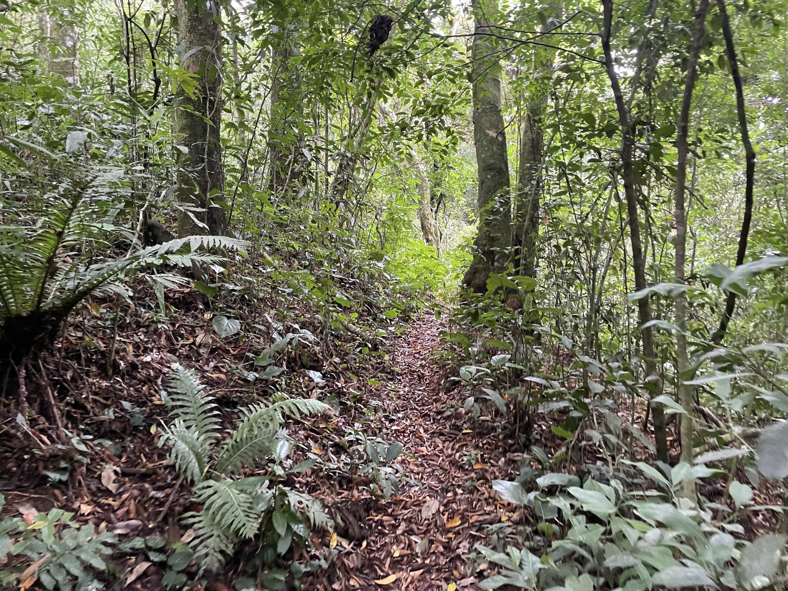
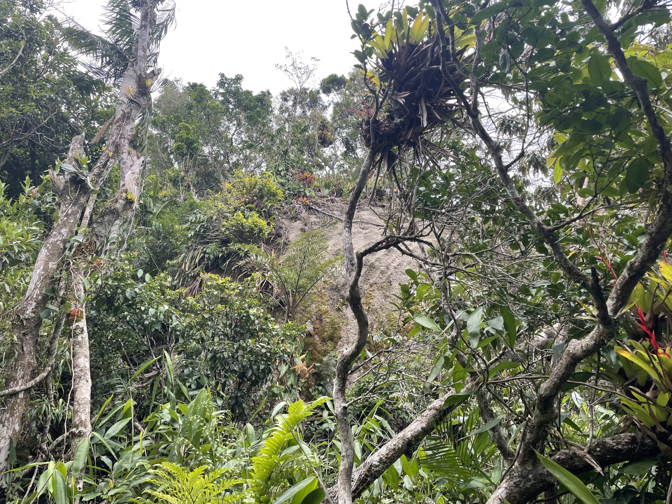
The initial section was steep in spots, but otherwise clear and in much better condition than Morro da Lagoa. Perhaps around 120m in elevation we reached a man made resevoir of sorts that was fenced off. We went through a small gate, but found it lead to nowhere. Stepping back to the gate and walking around the left side of the fencing lead us to the proper trail and we pushed on. We cruised up through the forest and eventually popped out into a field around 250m in elevation. Towards the end of the forest we lost our way a bit as there were a few off shots alongside a section of rock. After a few minutes of searching around we were back on track.
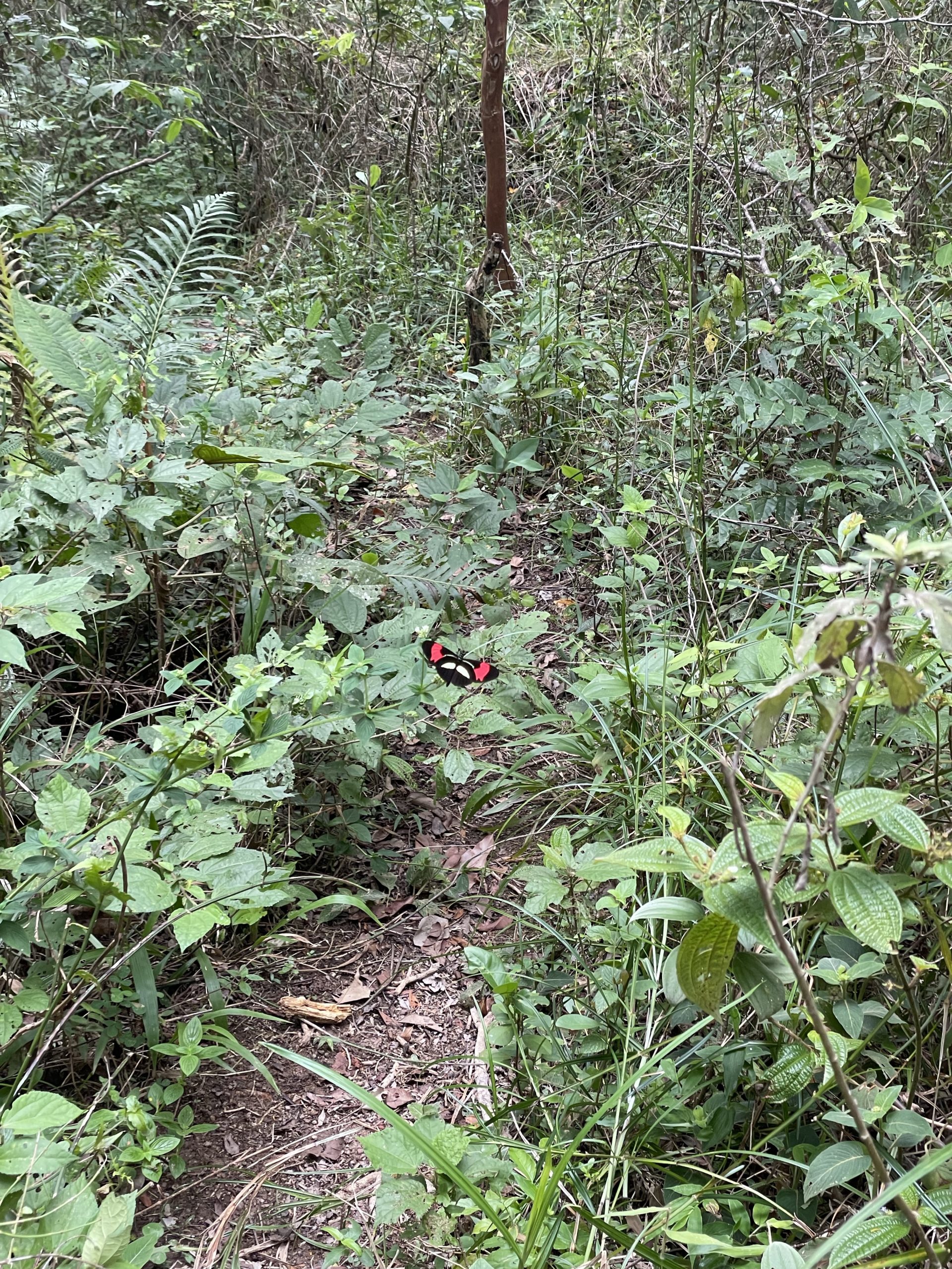
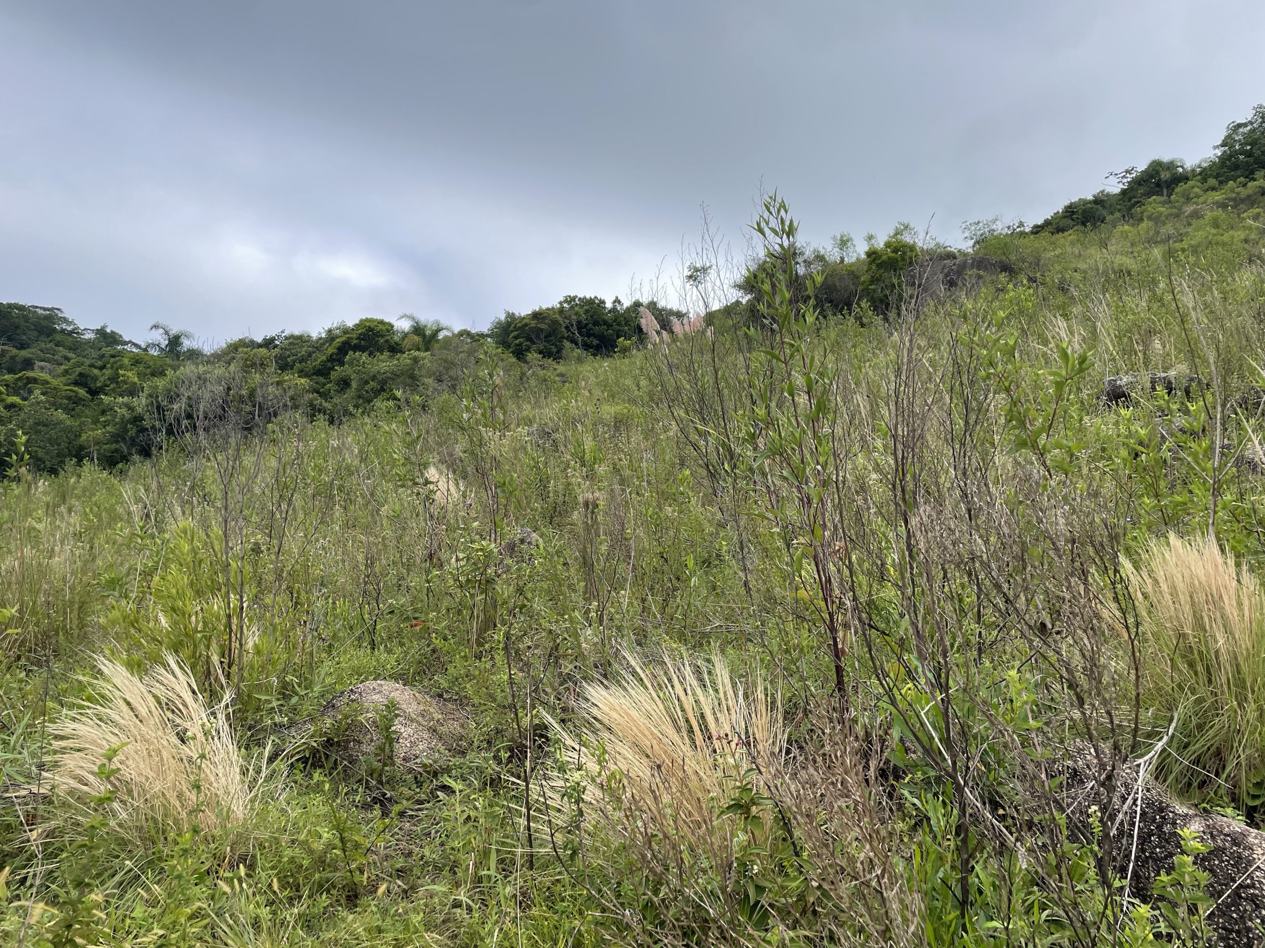
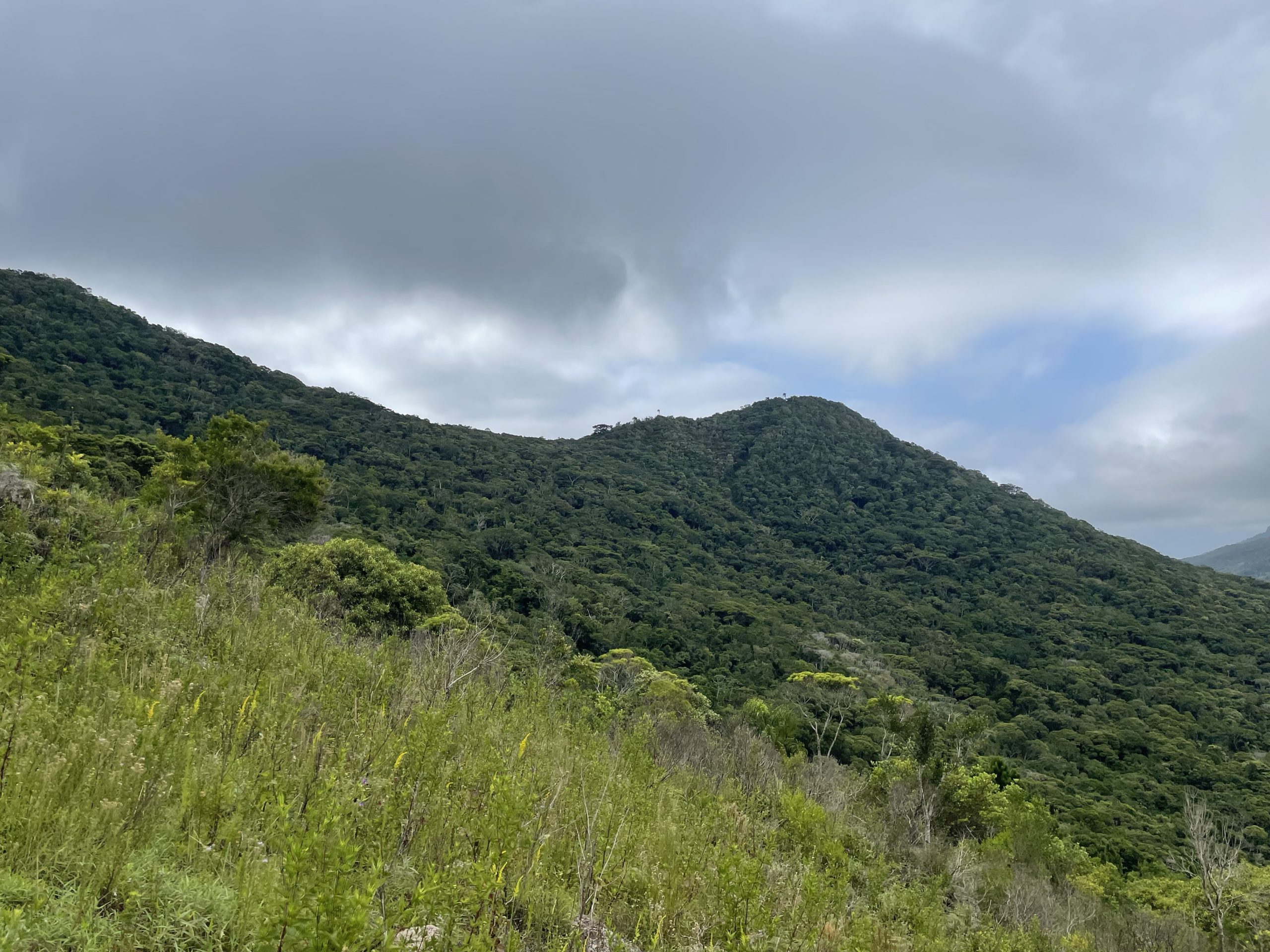

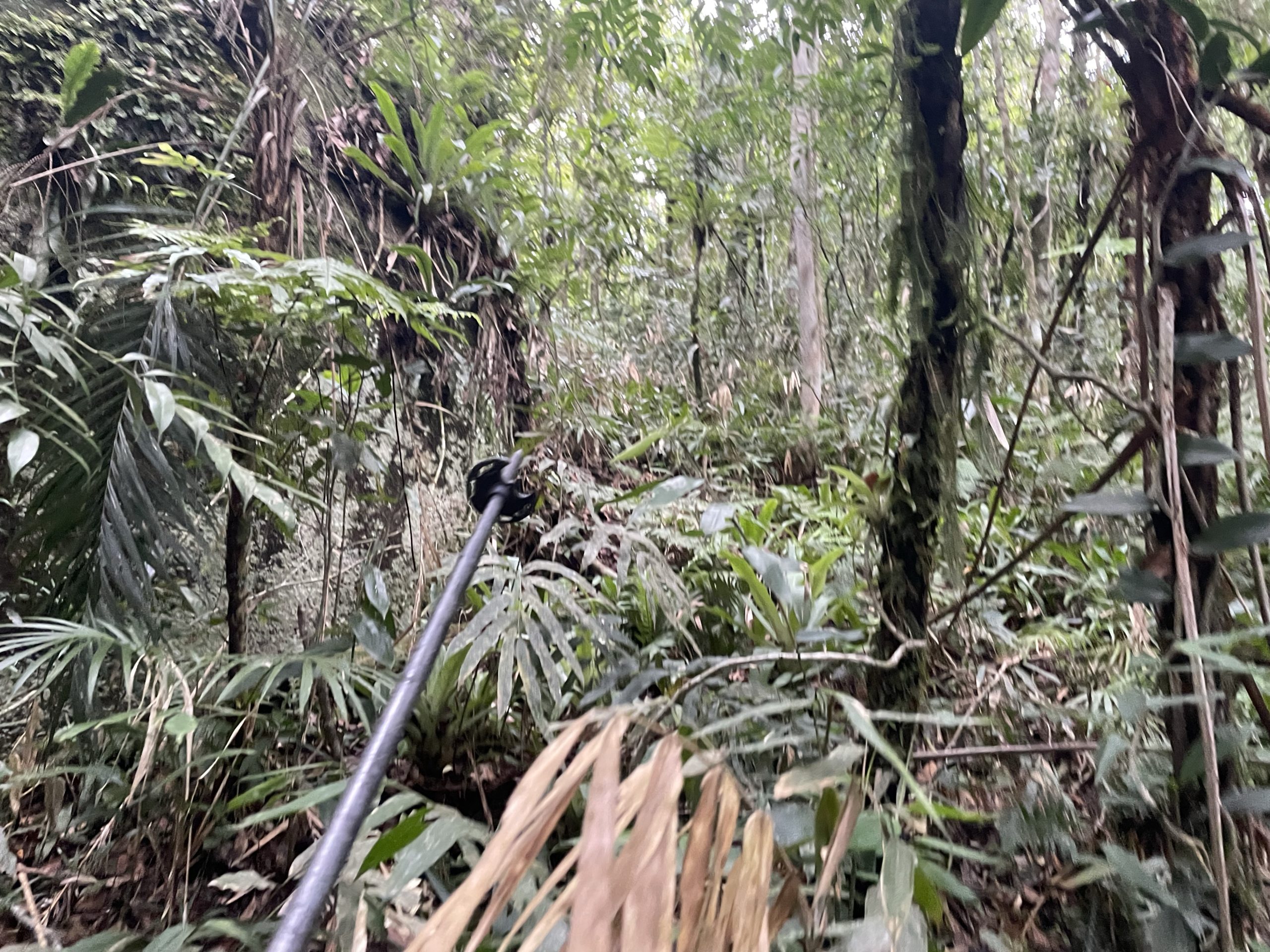
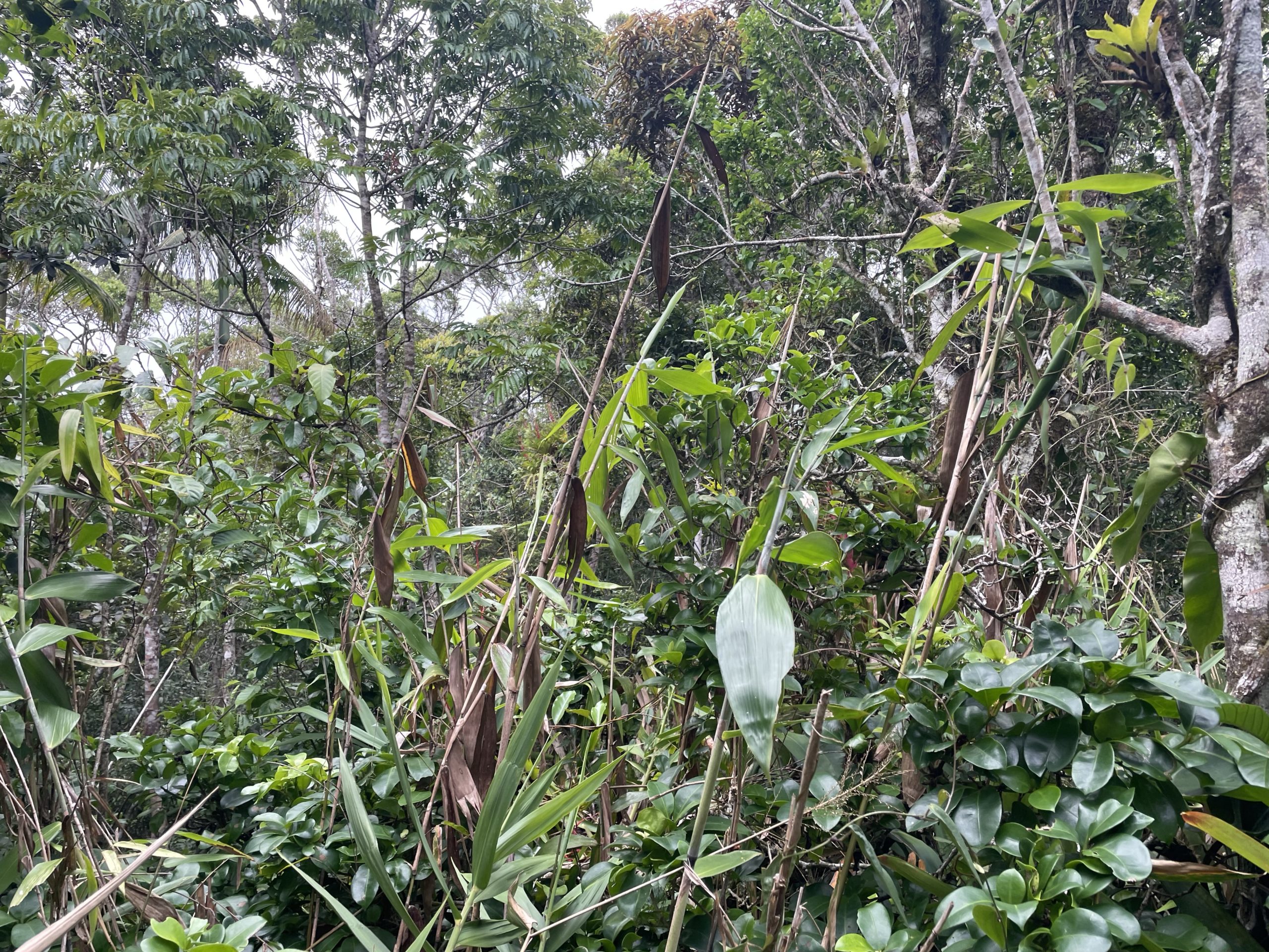
For the first time since we left for the dock, the trail became overgrown with dense vegetation. These sections only lasted for 40-50m at a time though and with a good foot path it wasn’t so bad. We finally reached the junction for both summits at about 331m. By now, we were really going to be cutting it close to make it back to the ferry in time. The two summit goal was no longer an option and now I had to narrow it down to one. A quick glance at the map showed Morro Manuel Lacerda as being 4-500m further than Morro Pedra de Listra and so I made the naive choice to go for the closer on.
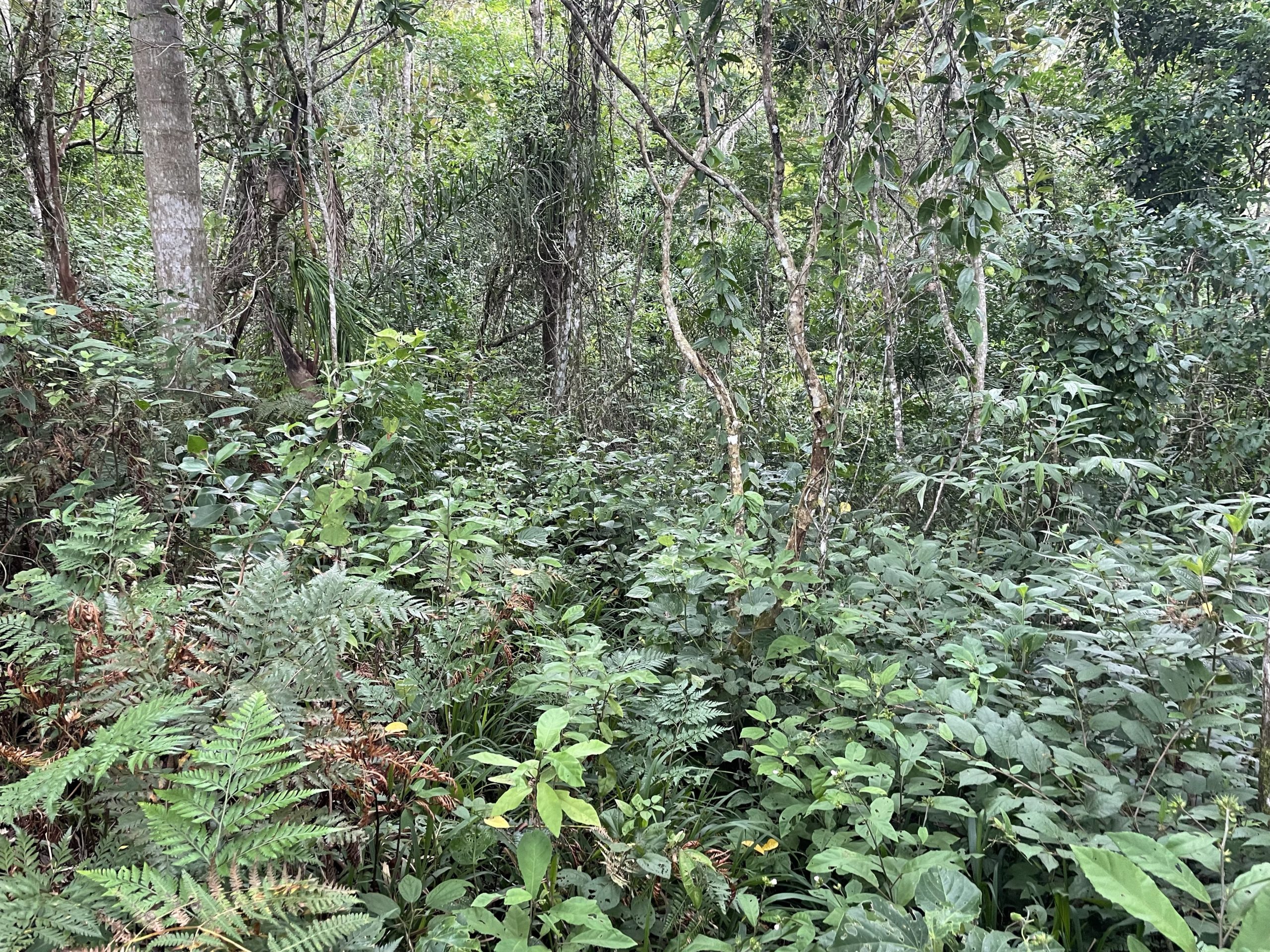
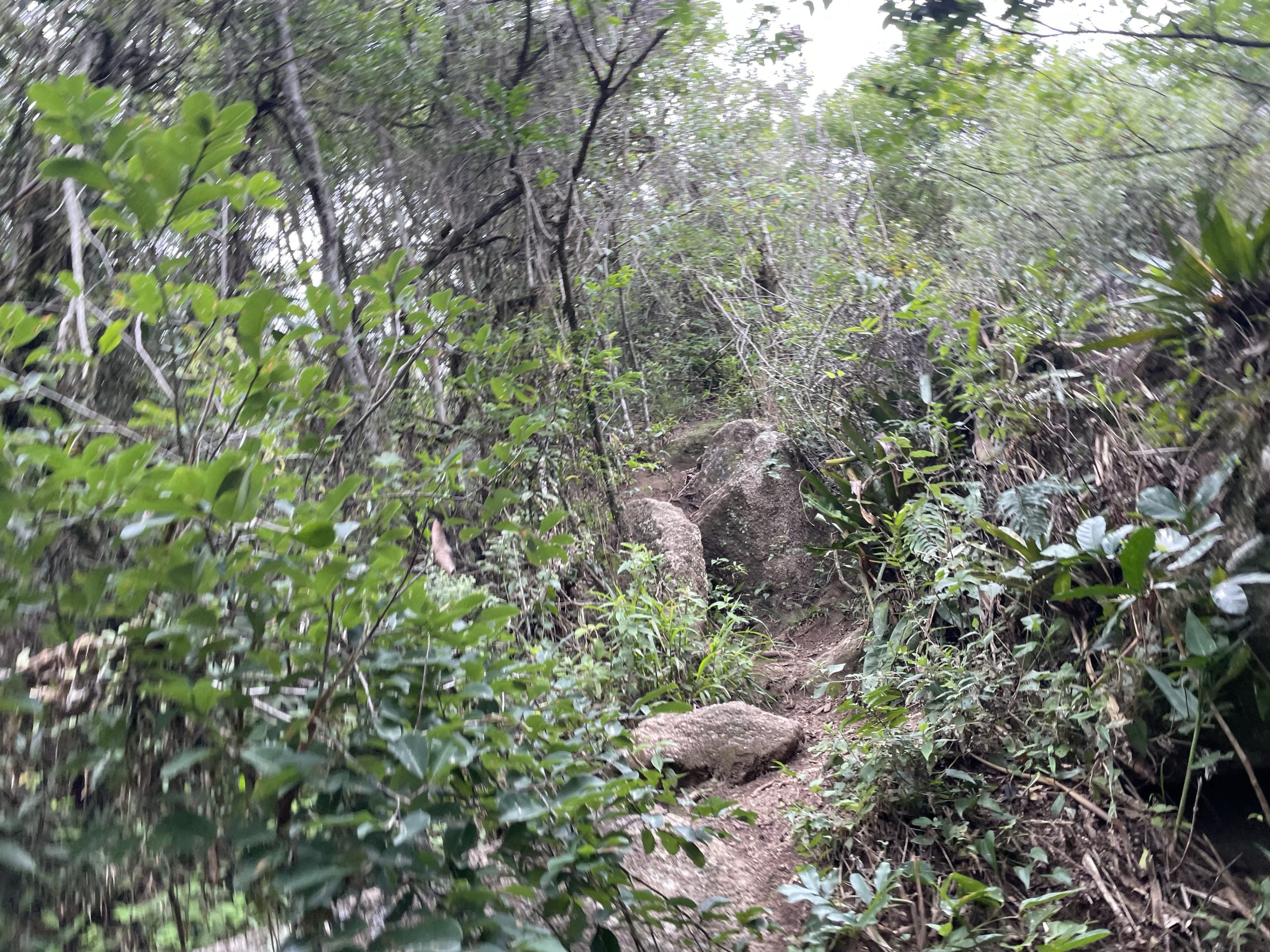
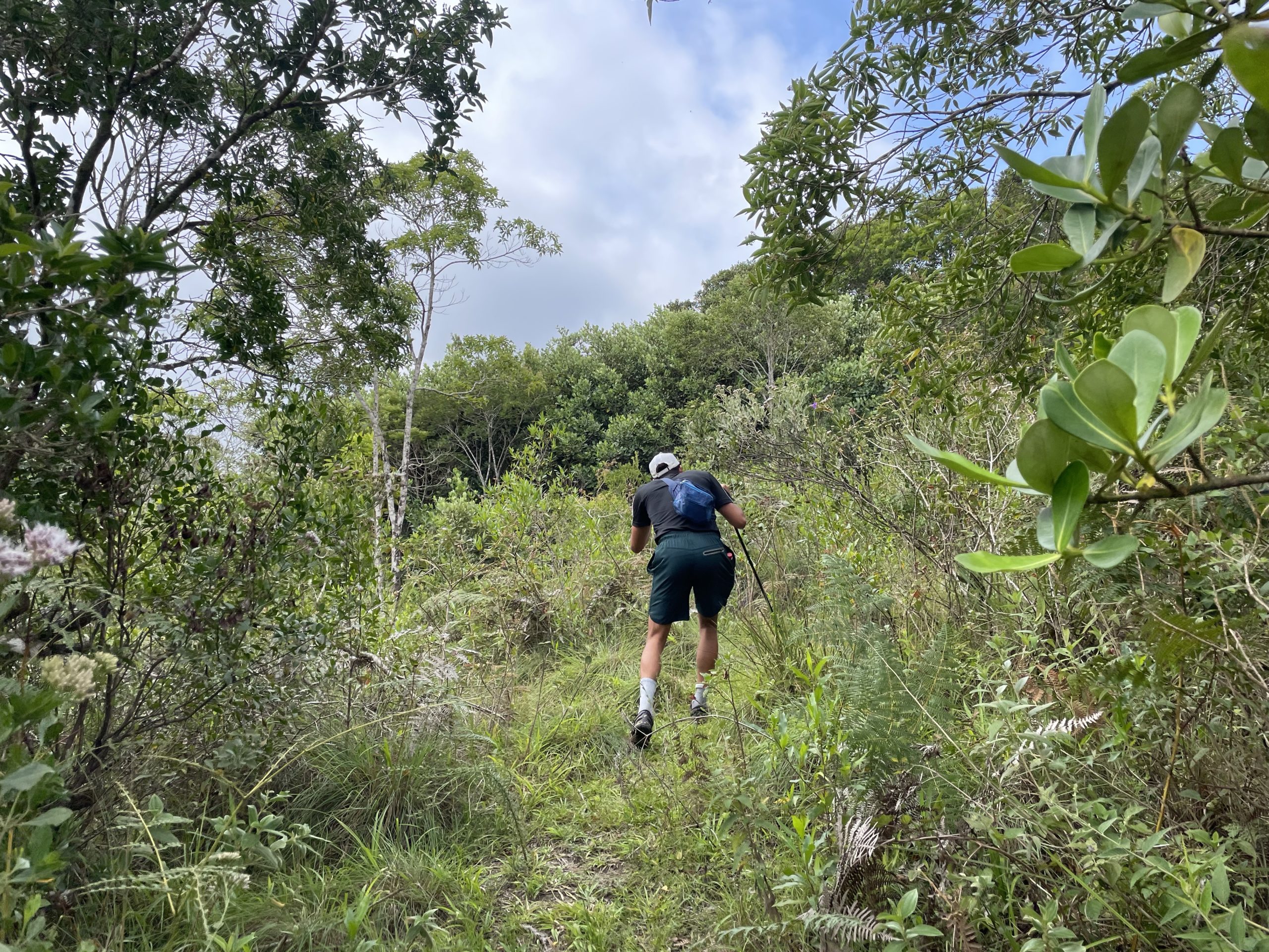
I set the pace at close to a run to ensure we had enough time and we continued along a well cleared path until we reached the nearest point to the summit. That’s when I realized my error. Upon looking closer at the map, I found that the trail did not actually run to the summit but got as close as 100m to it. Now in BC this would be a non-issue, but in this part of the Brazil that meant 100m of dense jungle bushwhacking. Adding to that would be the risk of spiders and snakes that called this entire forest home.
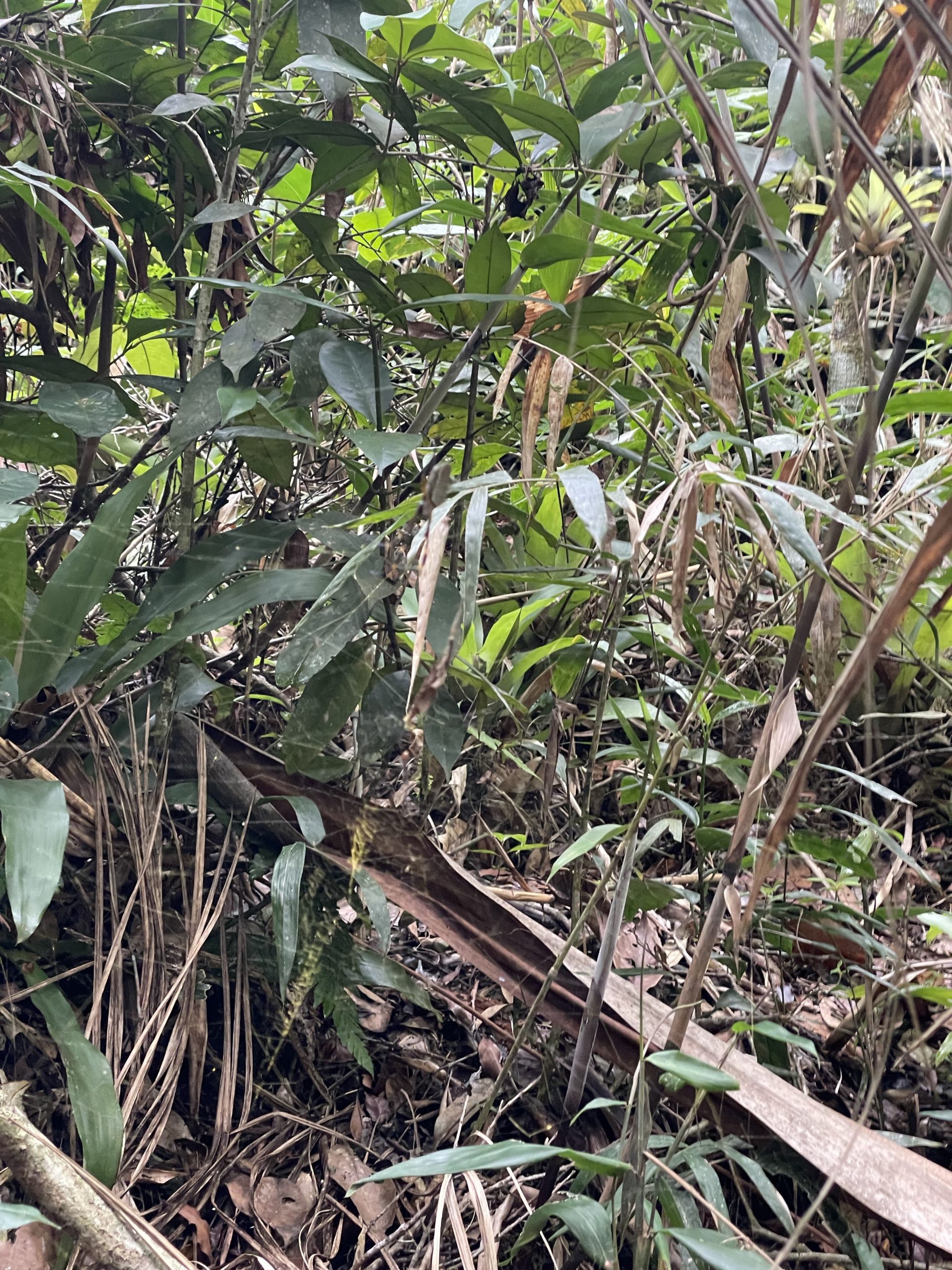
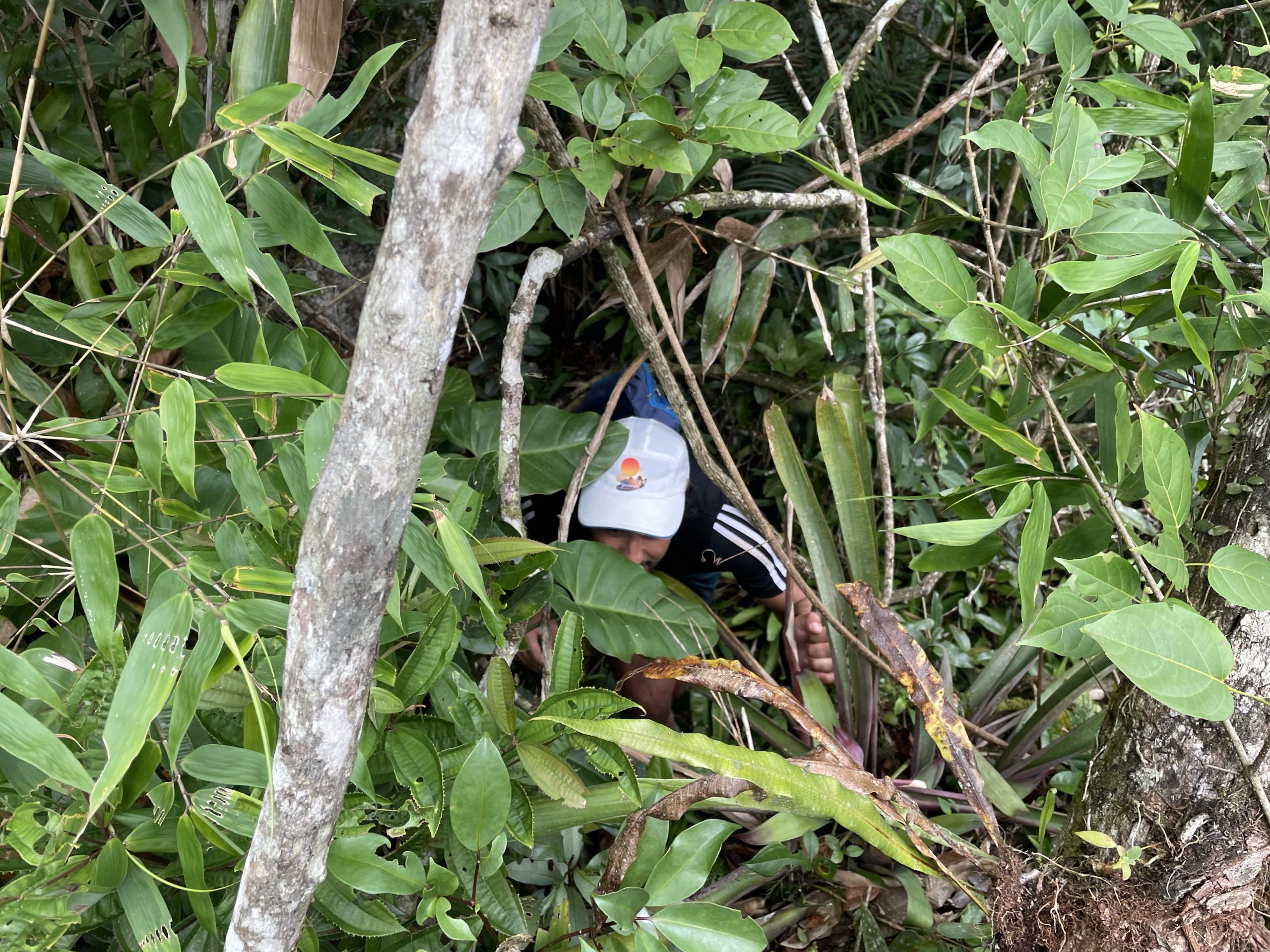
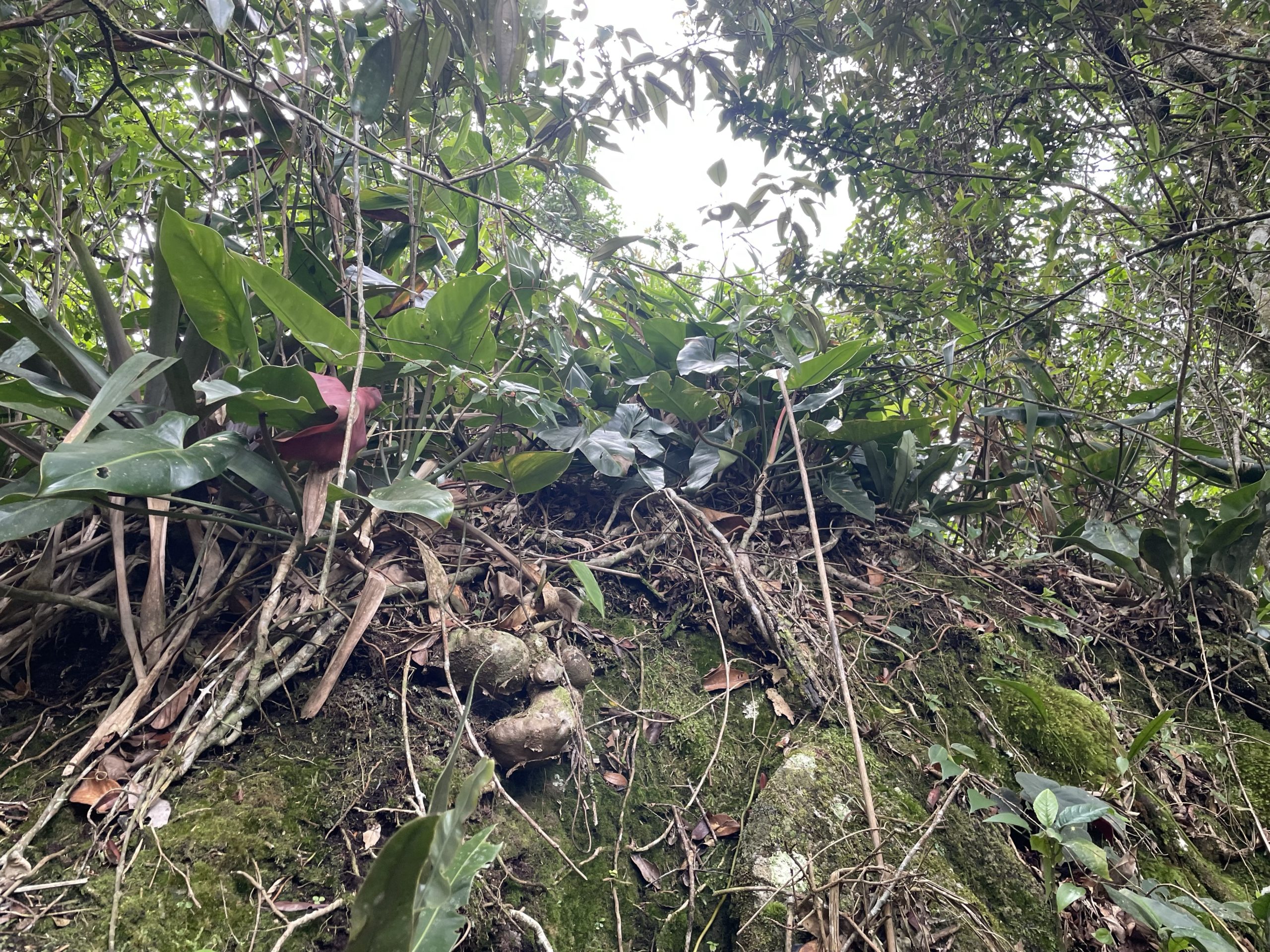
Within 100m of striking distance was enough for me to decide to push on. Adam was hesitant but I was confident we could make it. I nagivated us down to a small stream and then pushed up the slopes where the vegetation grew progressively thicker. We ran into a huge deadfall that was guarded on both sides by thick forest and so had to mantle it and get to the other side. There we encountered face fulls of branches and leaves until we reached the base of some large rock outcroppings. I initially thought this to be the summit, but after a vege belay towards the top I discovered another high point just a bit further on.
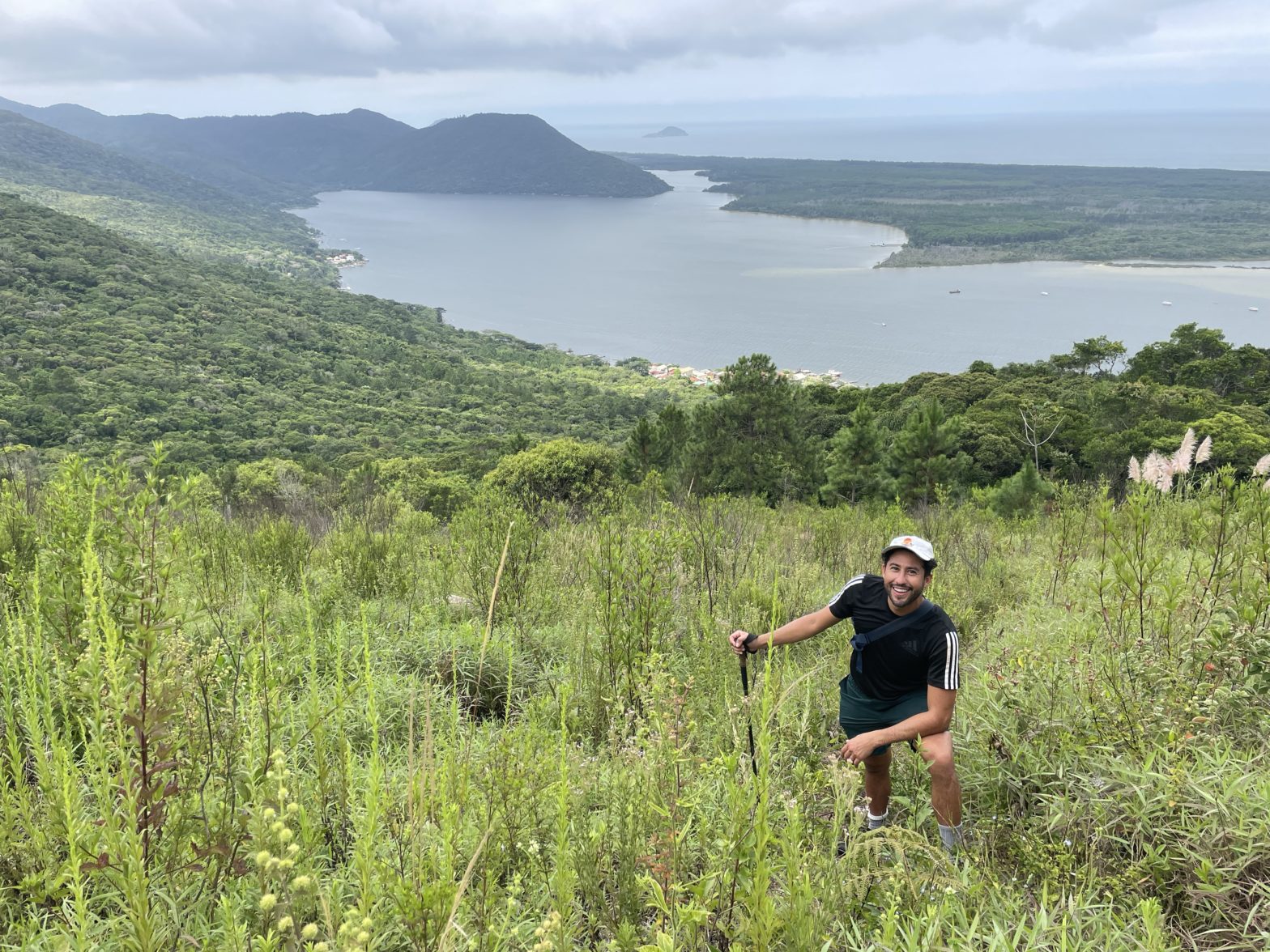
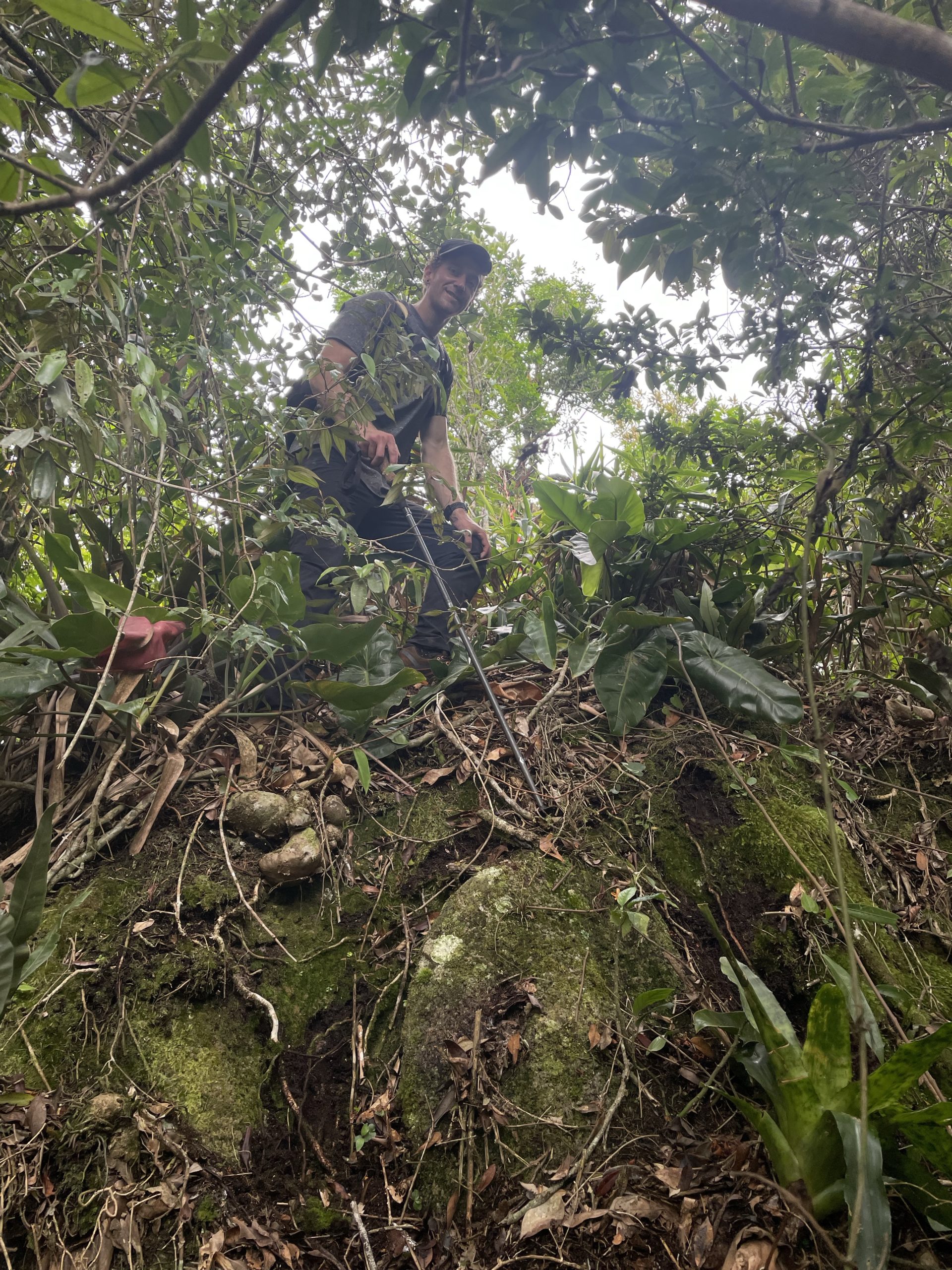
I pushed on through worst of it and reached the base of the summit. A bit of scrambling and vege belaying up and I reached the top. There, as feared a nice large spider waited for us in the tall grass. Our route had necessitated multiple changes on the way up already due to them, so it was no surprise to see one at the summit. Thankfully it didn’t guard the true high point! Adam followed up shortly after me and we were able to confirm no higher points around.
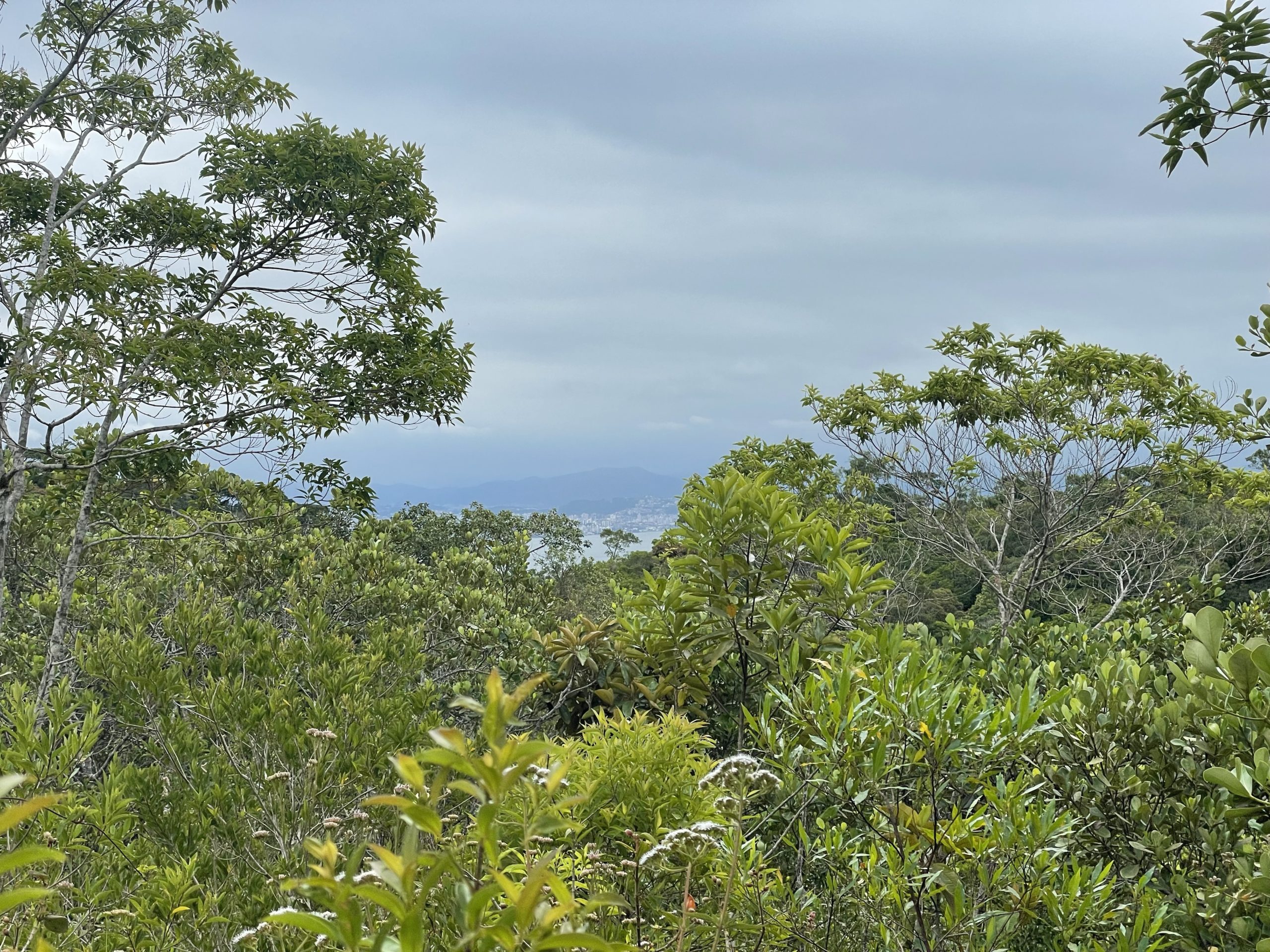
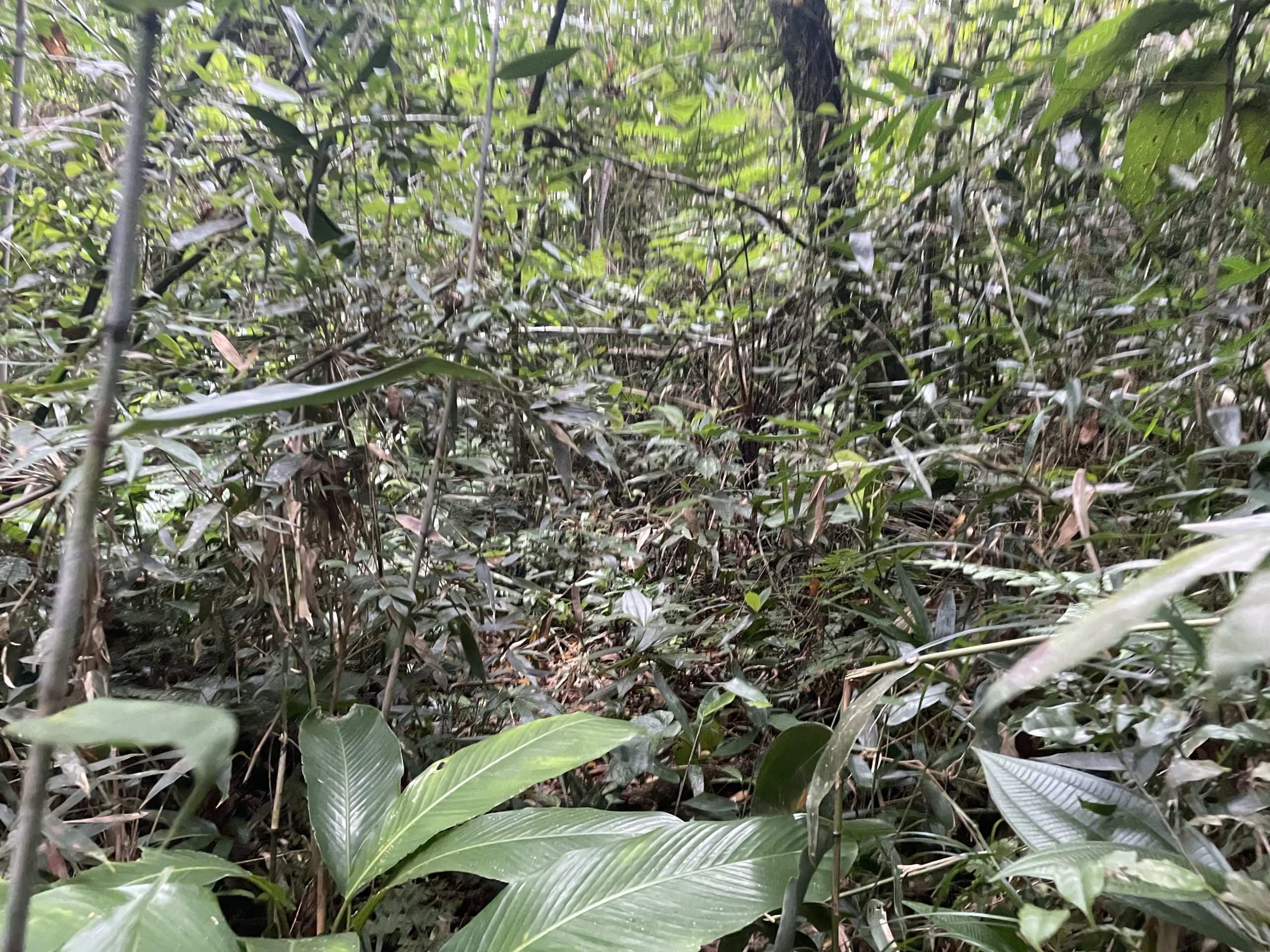
I took one photo and we got out of there as fast as possible. We were now behind our turn around time for the ferry. To avoid the worst sections, I went further climber’s left on the way down and found slightly less dense bush, but it was still a battle down to the creek There the vegetation cleared up again and we reached the trail shortly after. Now I had to kick off our journey with a light jog to give us a chance of getting back in time. We ran all the way back to the field and then ran past the correct turn off and veered into an unknown section. I lost 5 minutes trying to get us back to the path, even with the GPS to go off of. It was a reprieve to finally find it again and then we made short work of the return to the ferry dock.

Thanks to our fast pace, we actually made it back 10 minutes early and the ferry was late on top of that. It’s unfortunate we didn’t have time for the other summit as well, but our journey ended up making for a really fun adventure. I’m not super fond of bushwhacking where large spiders loom, but we managed to divert around any we found. In future trips, I’ll be looking more closely to see if the trail actually goes TO the summit instead of next to it. In BC it’s not critical, but in Brazil it’s certainly a must.