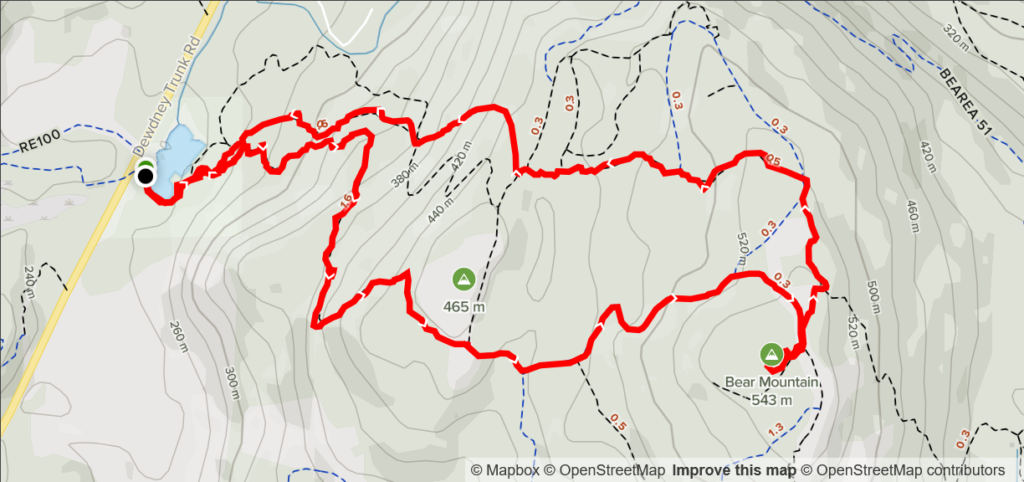
Elevation Gain: 344m
Distance: 7.52km
Total Time: 2 hours
Date: December 12th, 2021
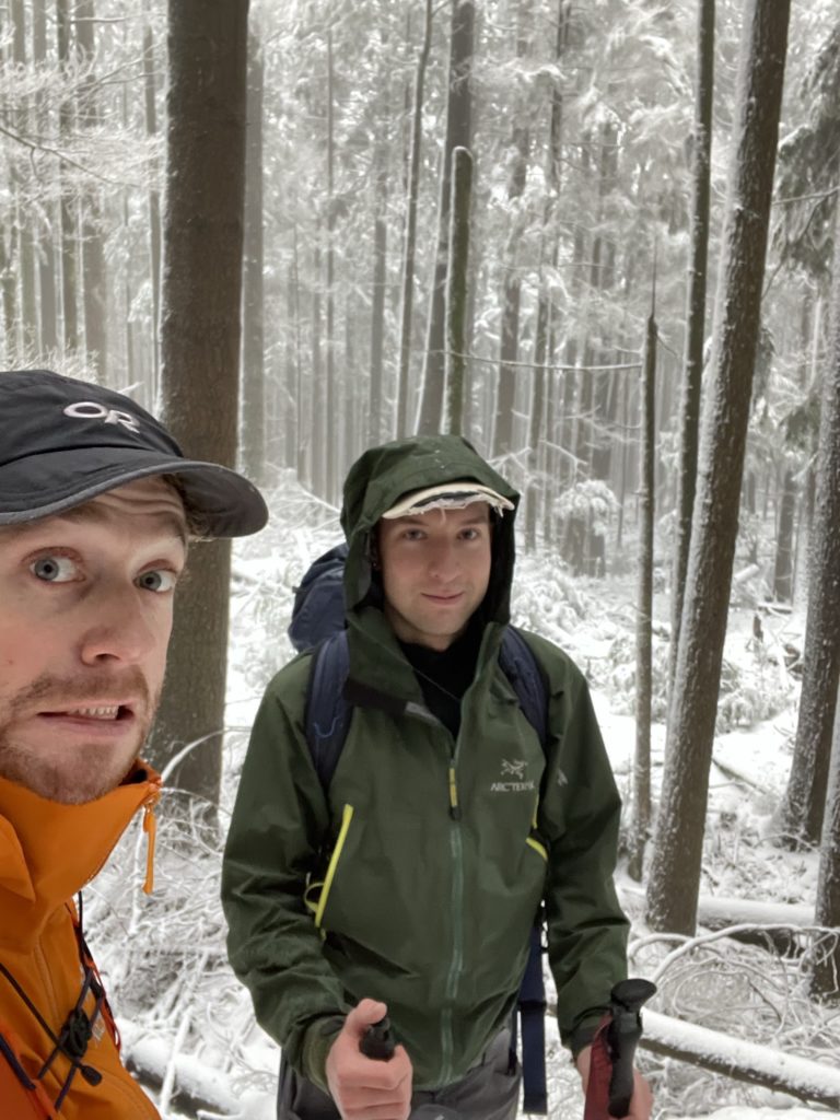
After a solo outing to Farrer Peak on the Saturday, my friend Mike wanted to join up for a hike on Sunday. Again the avalanche danger was still high in the North Shore and Sea 2 Sky area. So with that in mind, we searched for some smaller objectives that would also allow us to get an afternoon climbing session in at the gym. I thought Sumas Mountain might be a good pick, but there was still uncertainty about access after the flooding. Then, while searching further north I came across the small duo of Red and Bear Mountain. From what I found these were mostly mountain bike peaks with large trail systems. The access looked easy and it was short enough to get us back for the afternoon. Mike made the pick between Red and Bear Mountain and we went with the taller of the two (a meagre 543m peak).
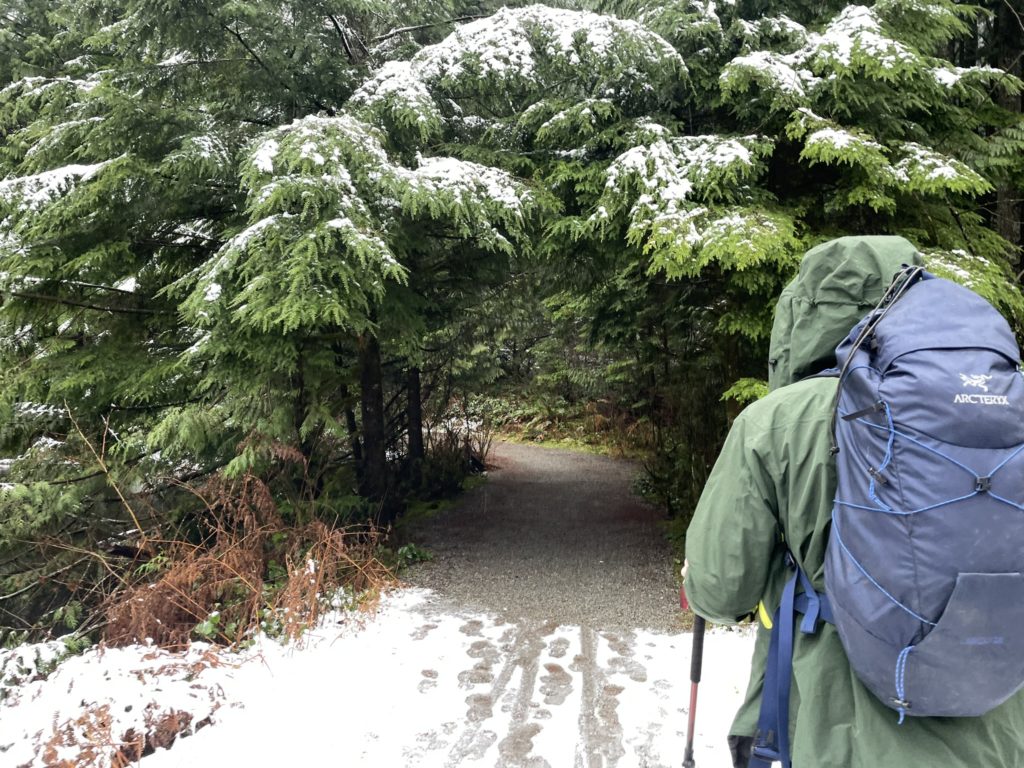
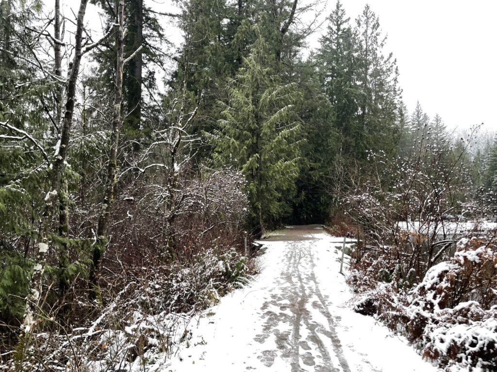
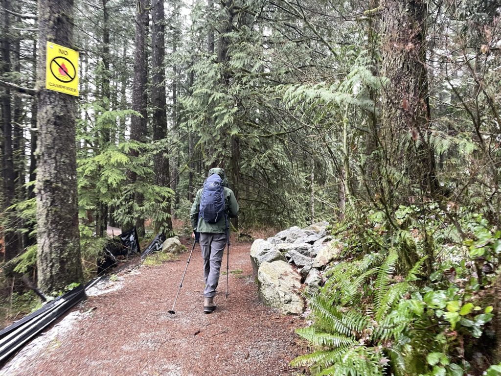
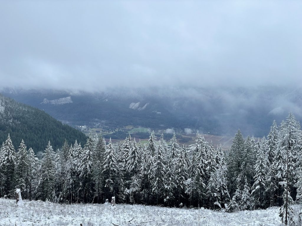
I picked Mike up from his place on Burnaby Mountain around 8am and we made it to the trail about an hour and 15 minutes later. We didn’t bother to bring snow shoes and and just started up the trail in an initial light rain fall. We followed an existing GPS track that took us up a bike trail called “Super Bear”. The route was easy thanks to the maintenance by the mountain bikers and we climbed quickly above the rain and into the snow.
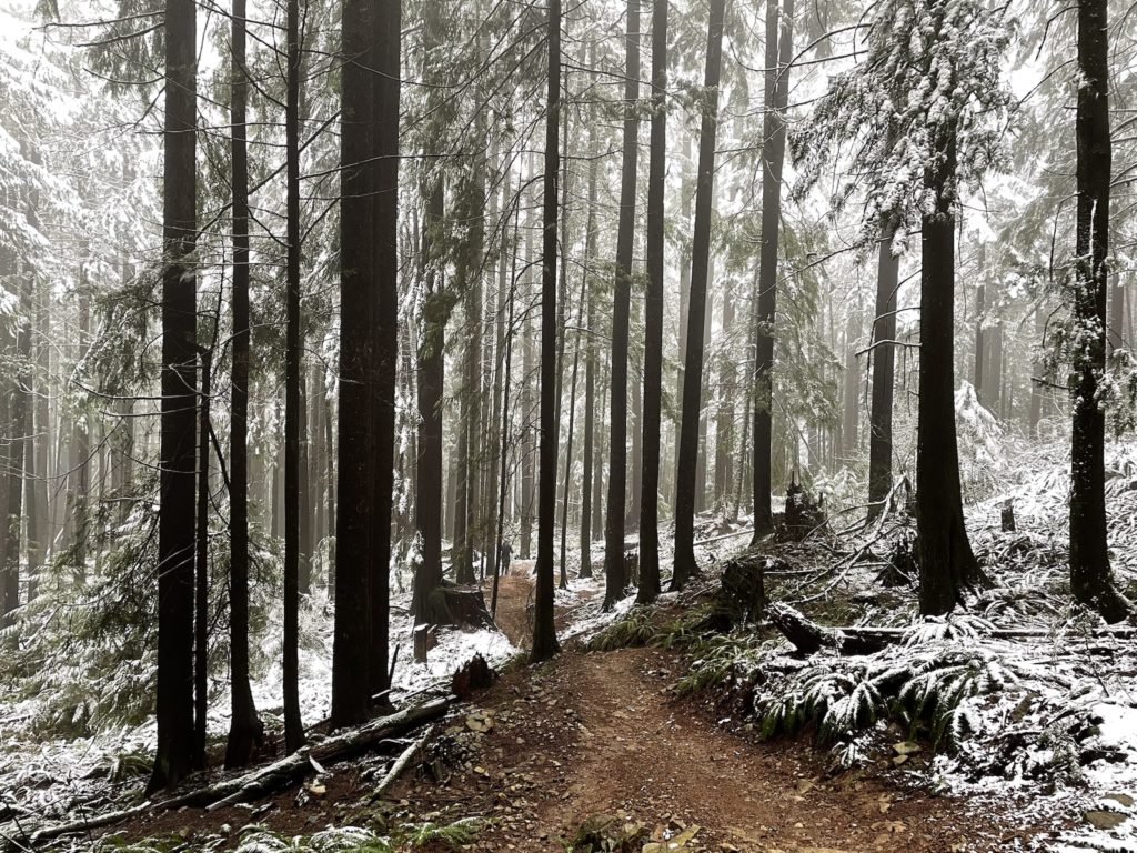
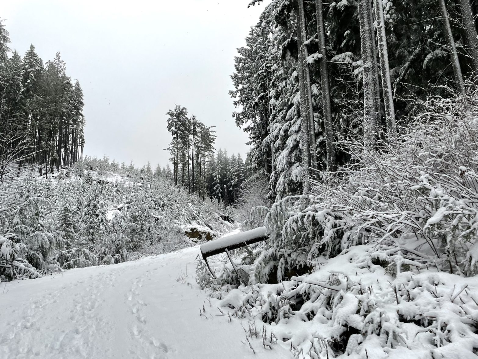
At around 450m in elevation we reached a service road and continued south along it until it forked back up towards the summit. We remained on the road until we reached the summit plateau. Here, things were a bit confusing as there a few contenders for highest point. I took us towards the GPS marked summit point which took us off the road for a short off trail walk through the woods. Sure enough, the marker seemed to net us the highest point and I felt content to call it the summit.
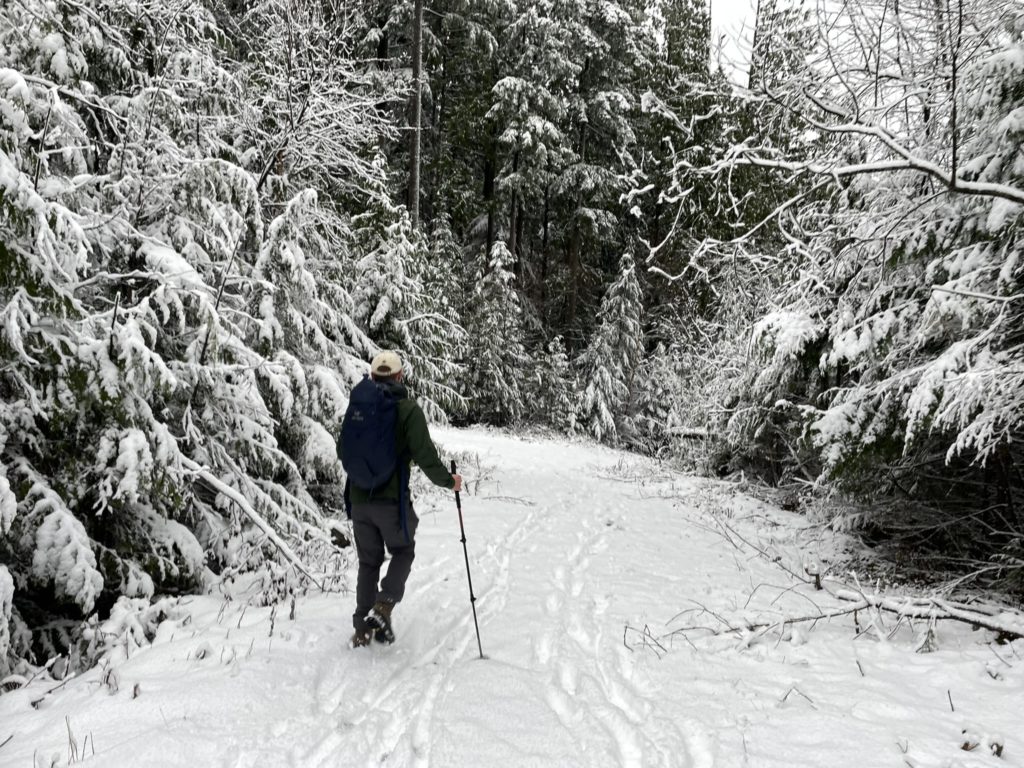
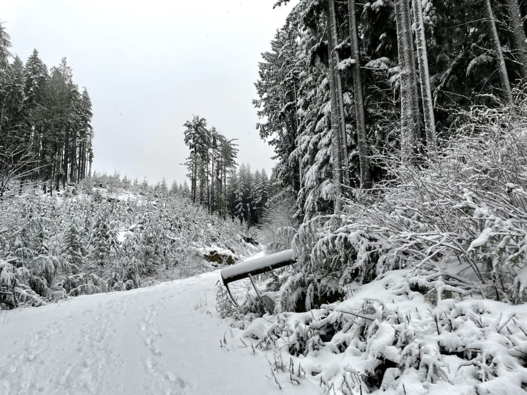
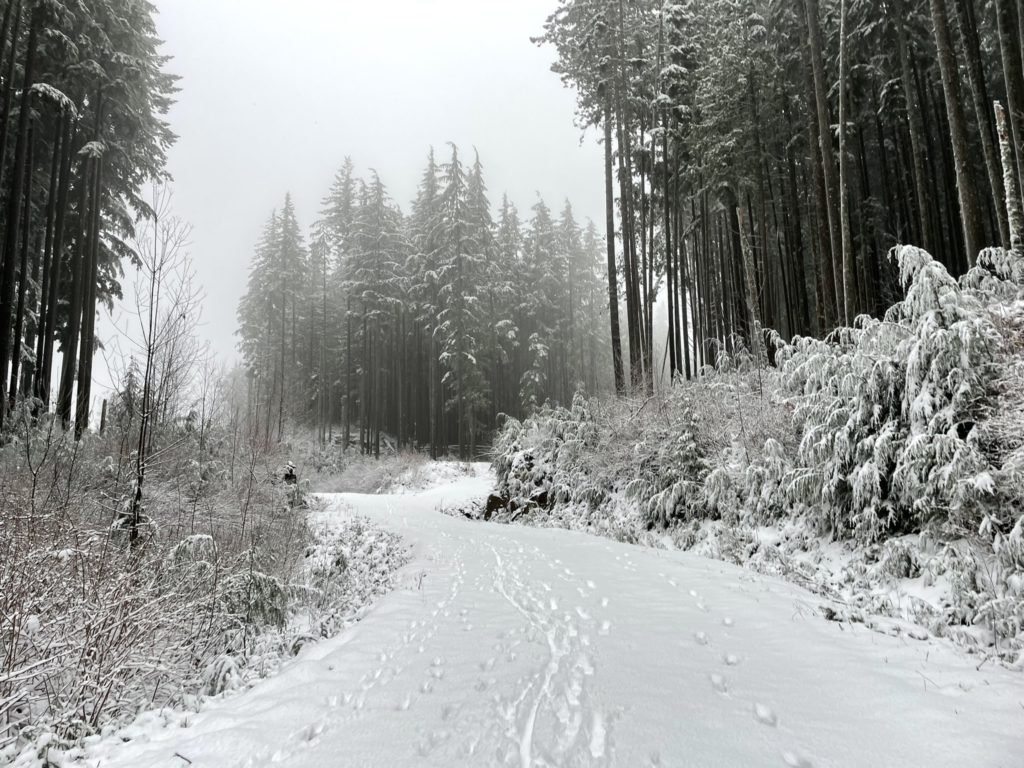
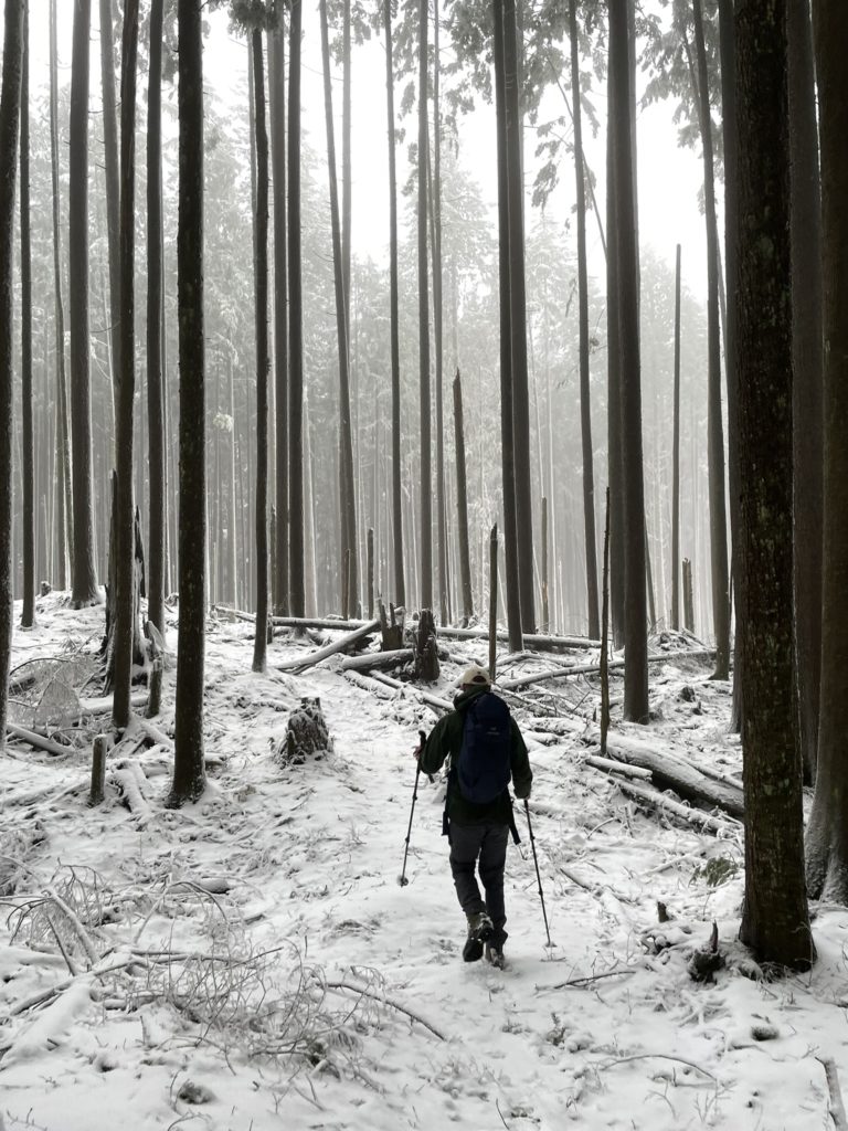
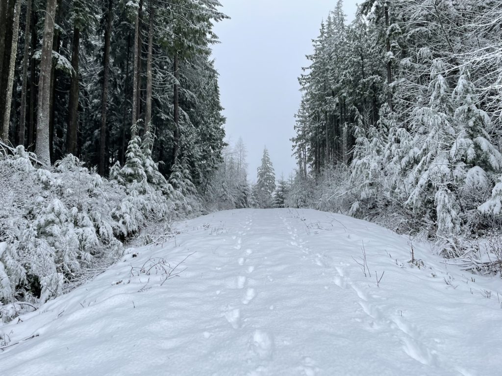
The views were non-existent, although the scenery was still pleasant with the recent snow fall. As a result, we just headed down immediately. Instead of back tracking our original route we took a more direct descent line following a series of connecting mountain bike trails. They were: “Backdoor” to “Luge” to “Jolly Rancher”. This took us directly back to the parking lot and we wrapped the journey in just over 2 hours.
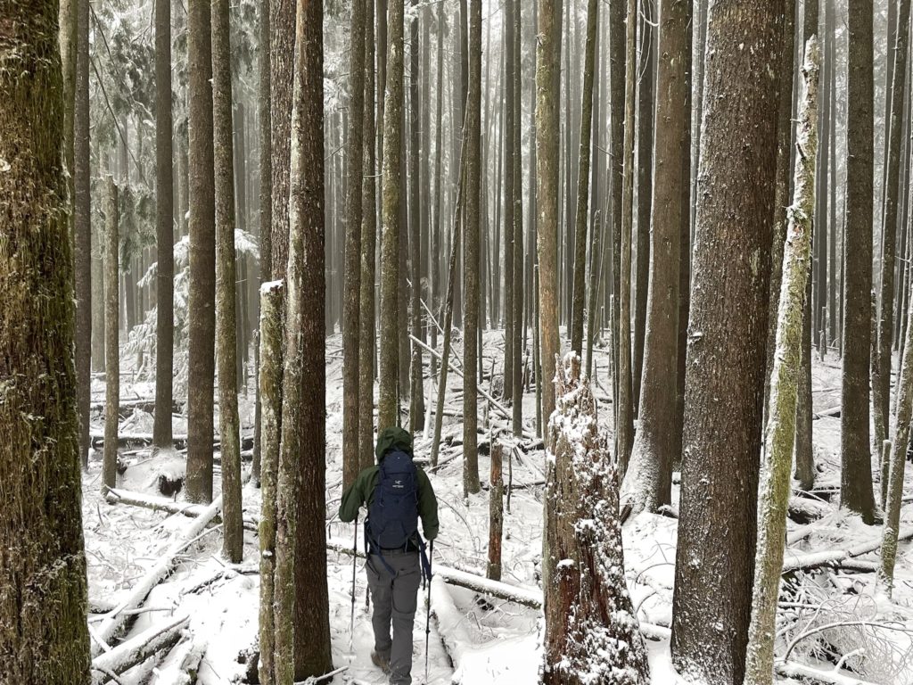
Bear Mountain is an easy one for those bad weather days and the only uncertainty is perhaps the issue of hiking up a mountain bike trail. For us, it was no problem as the trails were mostly out due to the snow. In the summer time that story might very well be different though.