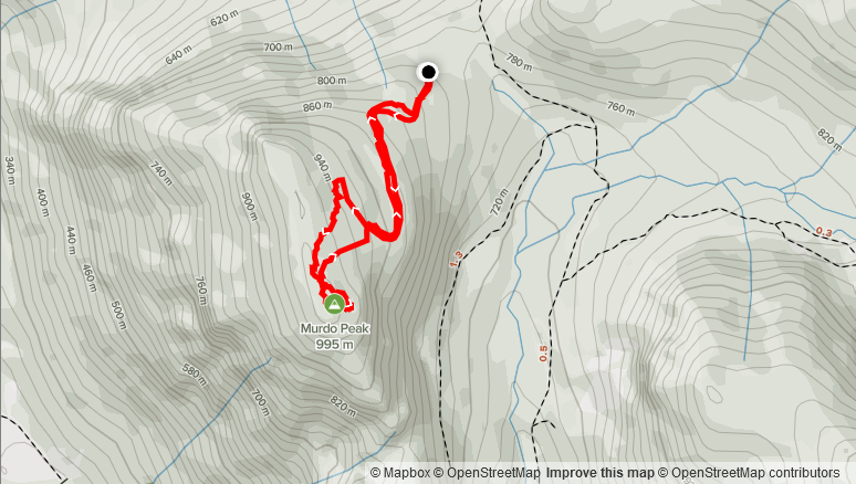
Elevation Gain: 192m
Distance: 2.62km
Total Time: 1 hour 7 minutes
Date: November 14th, 2021
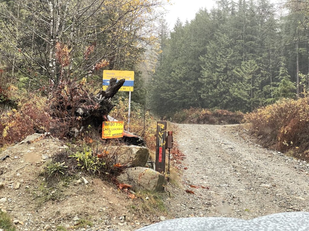
Murdo Peak is a small forested summit located on the northern flanks of Davis Lake Provincial Park. I first spotted it on a trip to Mount St. Benedict with my friend Jacob. Our plan had been to tag both peaks in one day, but we bailed on Murdo Peak and I vowed to save it for a bad weather day. Sure enough, a two week long streak of rain in Fraser Valley area was now set to intensify over the weekend. Forecasts were calling for an “Atmospheric River” producing 75-150mm of rain of the course of Saturday evening and Sunday. I had plans Saturday and had already spoken with Mike and Jacob about doing an ascent on Sunday. Neither were particularly deterred by the rain, but we all agreed a short summit was in order to avoid being miserable. That’s when the idea of Murdo Peak came into plan as I knew we could drive most of the way to the summit via Murdo Creek FSR. Then we’d have to negotiate a small forested section and reach the top.
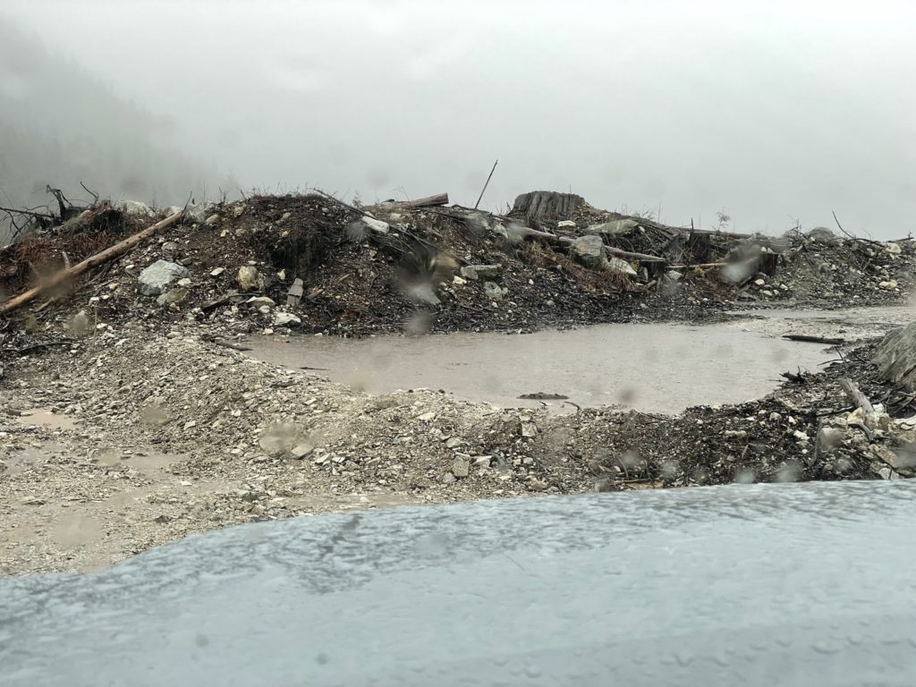
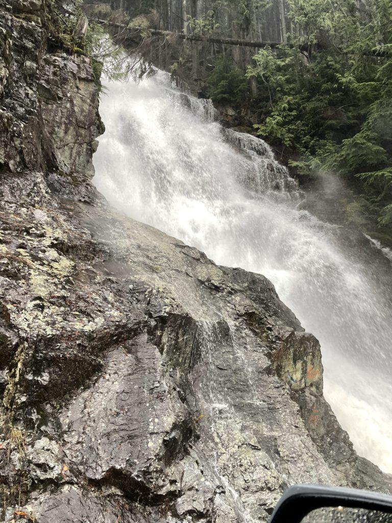
On the Sunday, I picked Jacob up at 8am and reach Mikes not long after around 8:30am. We then drove out to Mission and then up Sylvester Road before reaching the turn off to Murdo Creek FSR. As forecasted, it was absolutely down pouring. In fact, many of the creeks around Sylester Road were swollen and flooding onto the road. Most of the properties lining the road had their fields flooded as well. On the FSR it didn’t improve much with the upper creeks raging with storm water. Despite that the FSR remained in good condition without wash outs. We had to navigate through a few deep water bars but we soon reached the junction to Murdo Peak.
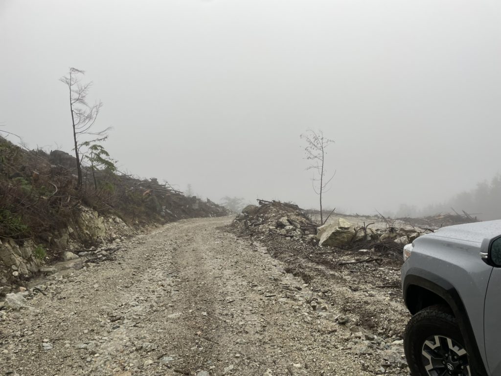
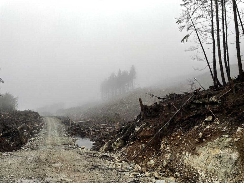
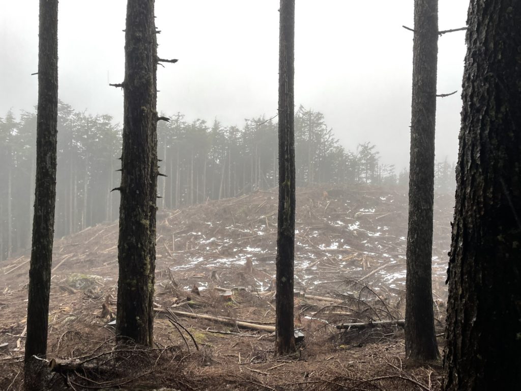
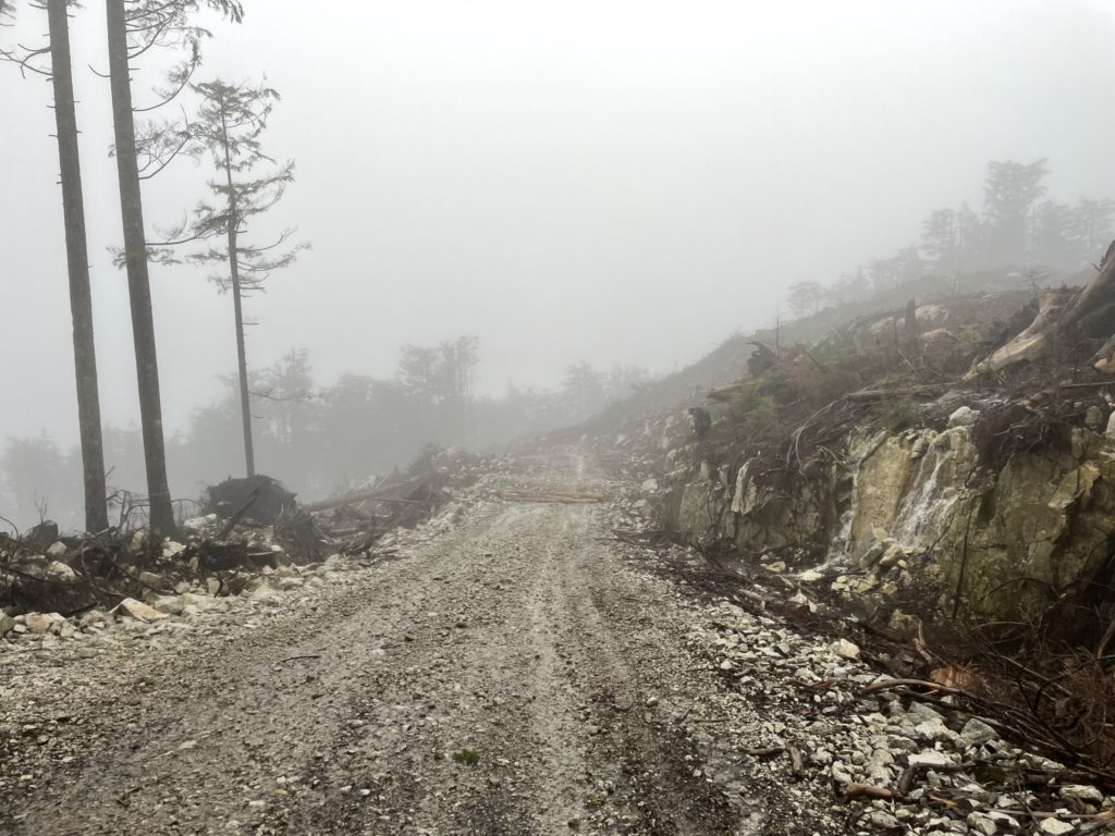
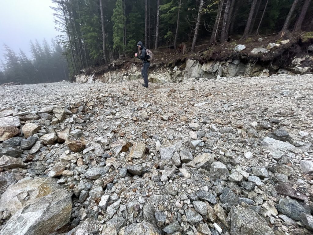
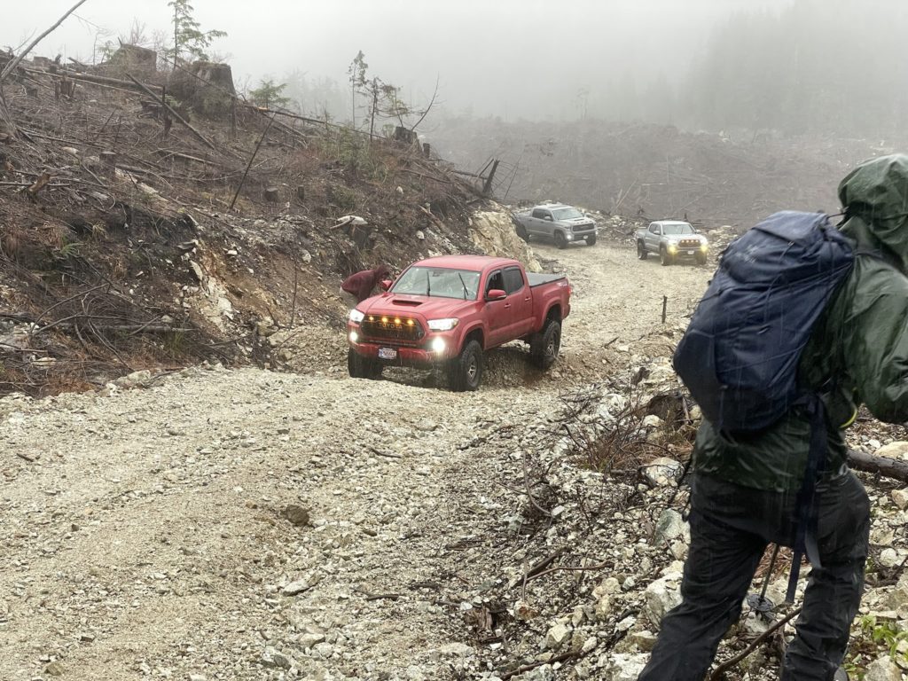
To my surprise, Murdo Peak was no longer a forested summit. Apparently it had been logged (nearly to death) over the summer and the cut block ran as far as we could see into the clouds. Adding to that a new spur road now meandered up the northern side of peak. We decided to explore and see how up we could drive. The spur road was in mostly good condition, but there were several huge water bars that necessitated a higher clearance 4×4 vehicle. We drove up to ~819m and stopped before another very large water bar. It was already such a short distance to the summit, so I figured it’s not worth risking the vehicle any further.
I put on as much rain gear as I had and then we committed to getting to the top. From the truck we followed the FSR to its terminus at about 930m and then started our way through the cut block. Even with fresh logging, the terrain was actually quite manageable as the soil was soft and dead fall was not overwhelming. We ended up back tracking towards the road a bit and realized we should have turned up the cut block sooner instead of going to the road’s end.
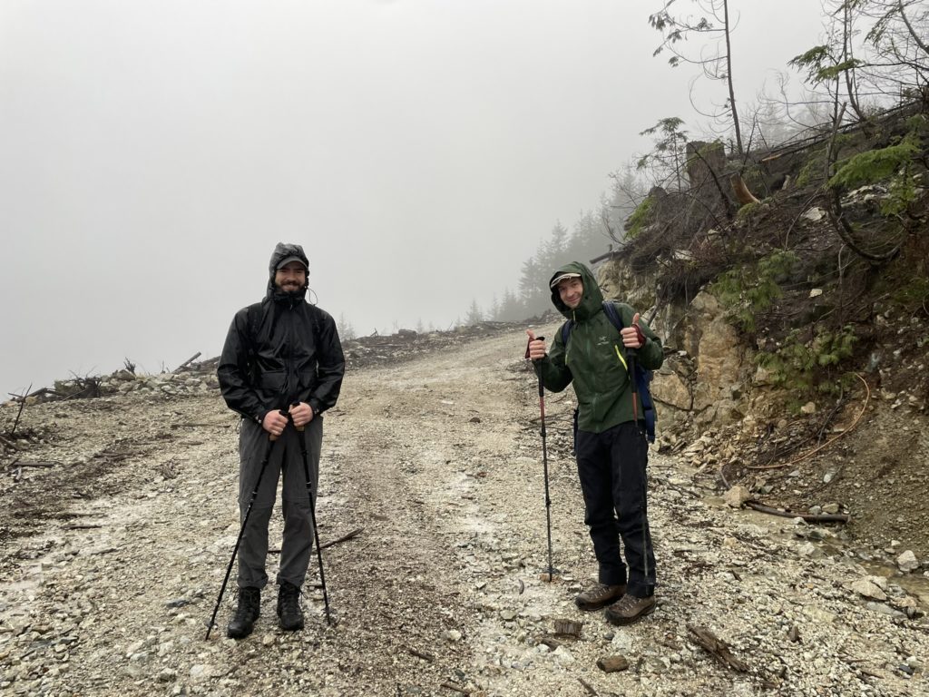
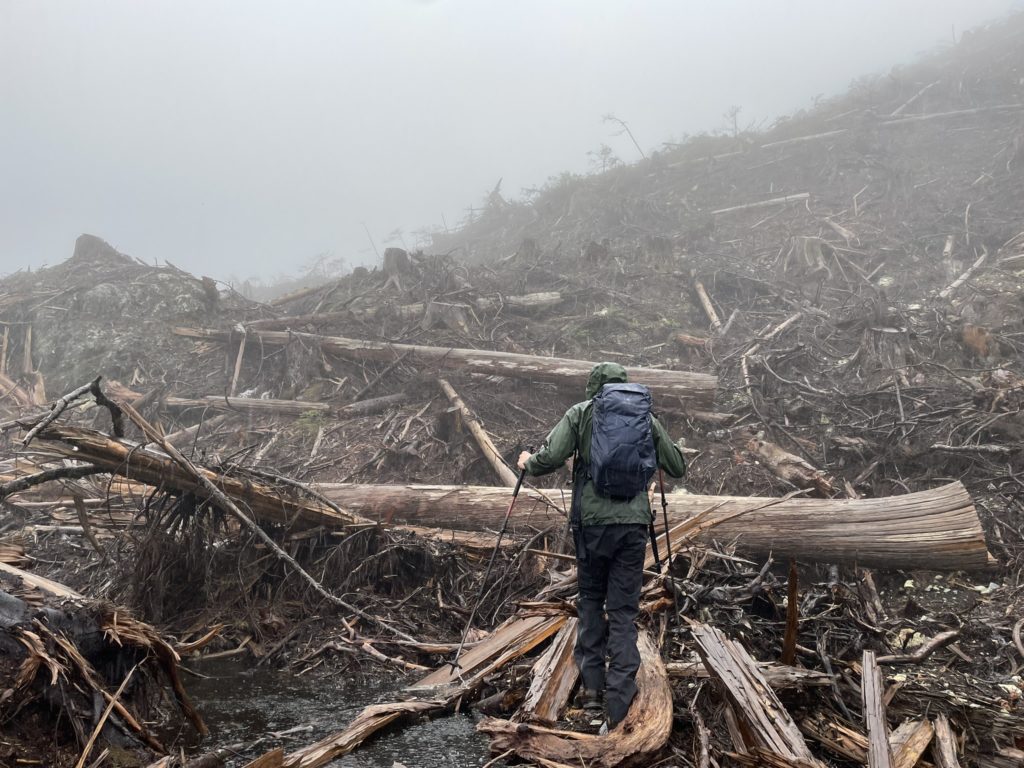
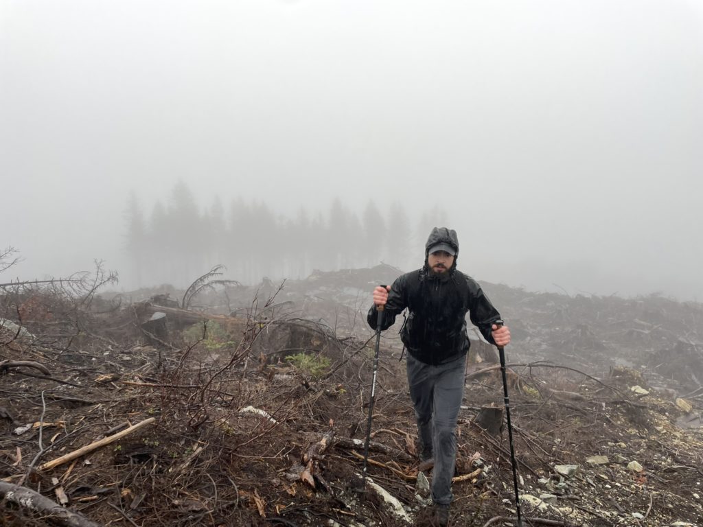
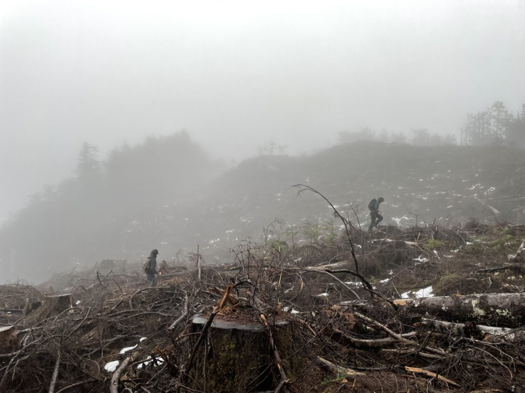
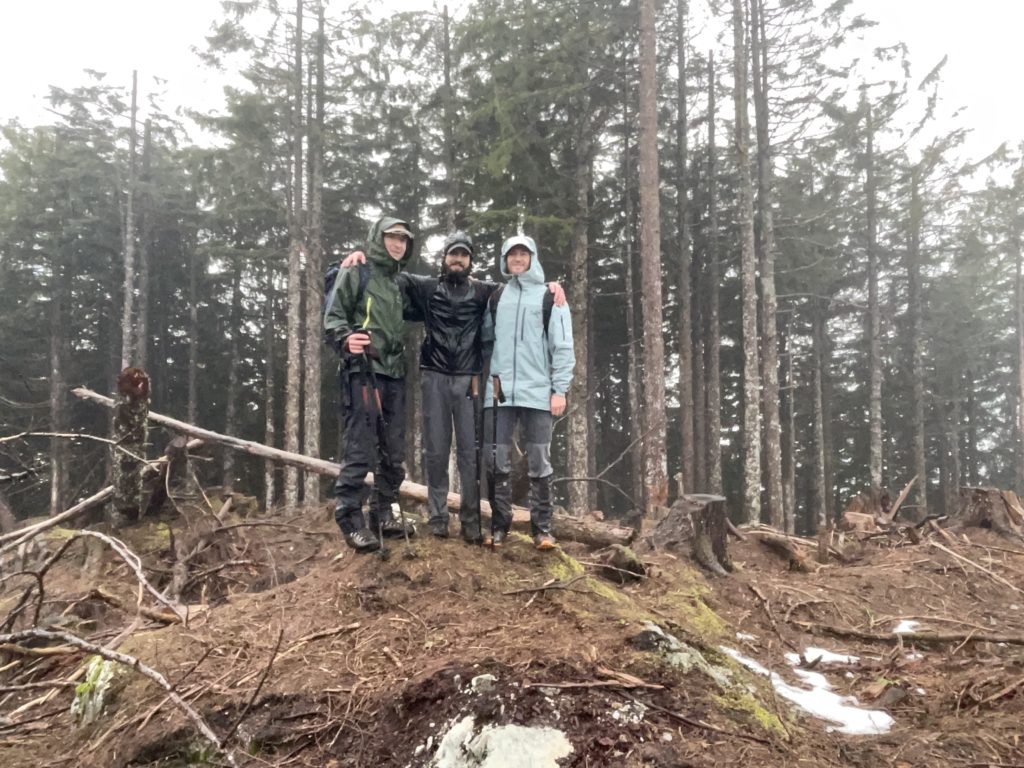
As we gained higher up, we realized the cut block ran all the way to the summit with few trees spared. Once we reached the summit ridge, we aimed for a small forested section. When we got their a barren high point to the West looked higher and GPS confirmed it was. So we traversed over and reached the true summit a minute later. I setup a group photo and then we all began our route back to the truck. Both Jacob and our were soaked through on our pants, but Mike had Gore-Tex layers top and bottom so fared much better. I was thankful, the summit was as close as it was.
We took a more direct route through the cut block to the FSR on the way down and joined up with it in short order. Then it’s quick plod back to the truck. Close to our parking spot we ran into a convoy of off-roaders making use of the new FSR to test our their driving. We passed them as they climbed up and made it to the truck for some relief from the rain.
I won’t recommend this peak to anyone but the peak baggers, because it’s essentially one big cut block now. Whatever it looked like in the spring is no more and it will be years before it looks scenic again. It’s also mostly a drive up, so best saved for those awful weather days where you just want to grab something… anything.