
Stats include Tszil, Slalok and Taylor
Elevation Gain: 1,813m
Distance: 20.97km
Total Time: 13 hours 34 minutes
Date: September 16th, 2021
Tszil Mountain is a 2377m located directly south of Slalok Mountain within the Joffre Lakes group. On its own it’s not a particularly exciting objective, but it can be easily combined with Slalok when climbing the summer route. There had been a few successful trips reported on Slalok and Tszil in the weeks prior, but they were not on my radar at the time. The Sunday before this trip came together, Holly and Valentin from SWBC Peak Baggers reached out about tagging Slalok and Tszil on the Thursday. There was going to be a prolonged period of rain and potential snow leading up to the day, but Thursday had the only weather window for the next while, so I hopped on board with their plan.
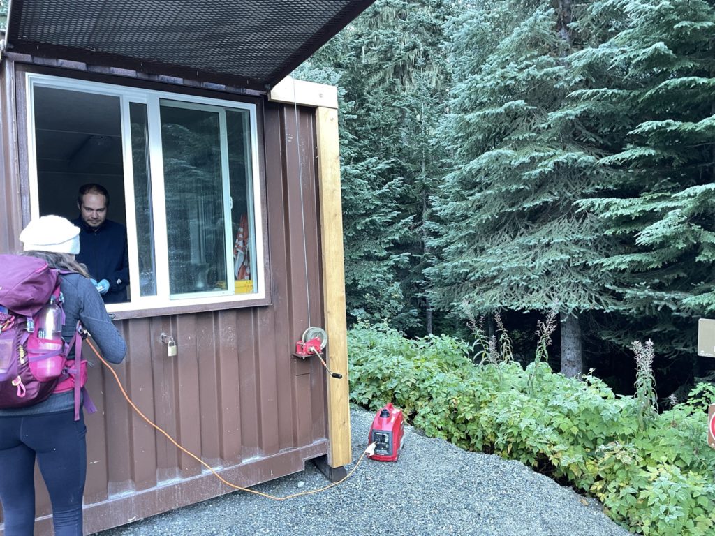
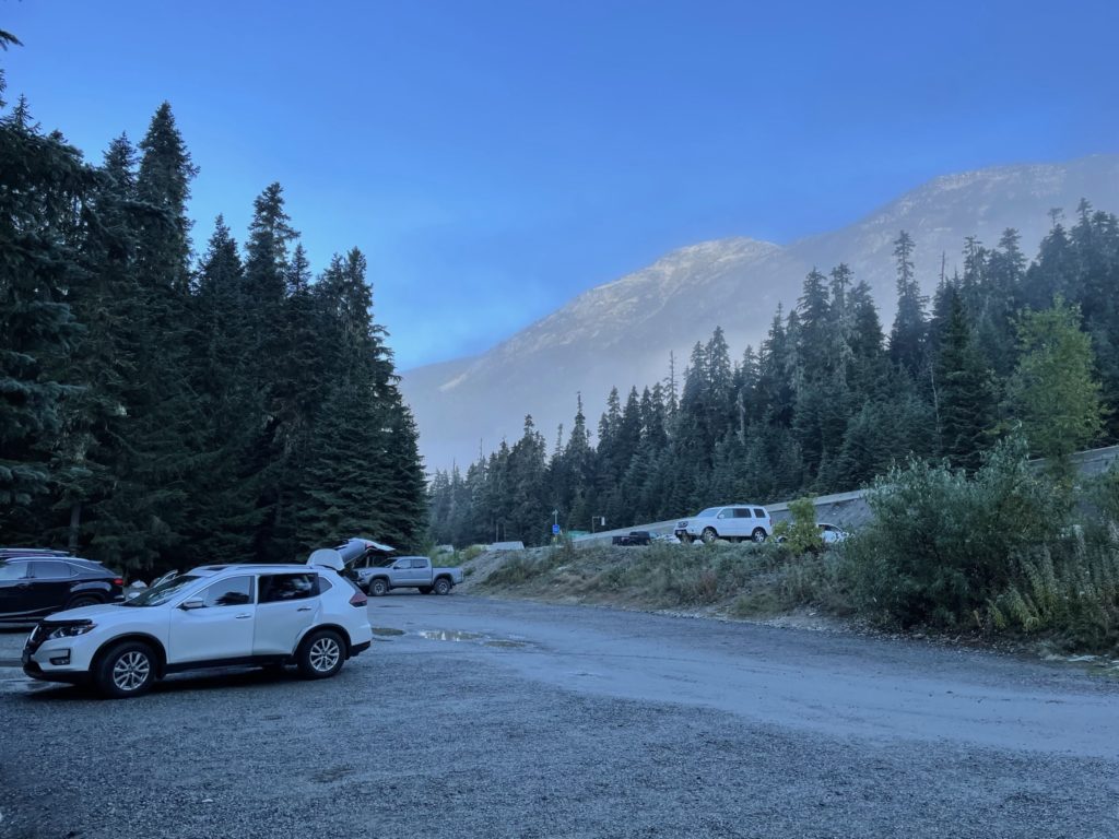
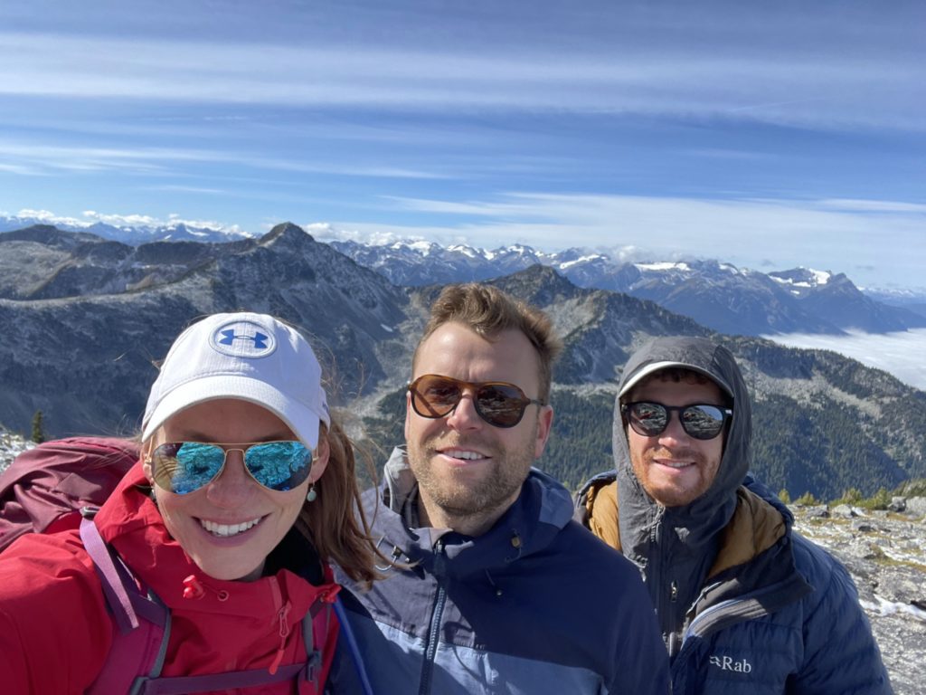
Holly and Valentin drove up on the Wednesday night to camp at the parking lot. Meanwhile, I had some evening obligations so opted to drive up on the Thursday morning. On the day of, I left Vancouver at 4:30 am and met Holly and Valentin at the Joffre Lakes Park around 7:30am. It was a brisk morning and I was thankful to have a multitude of layers to choose from. By 8:00am we were all packed up and heading down the trail after getting admitted by the park ranger with our day passes.
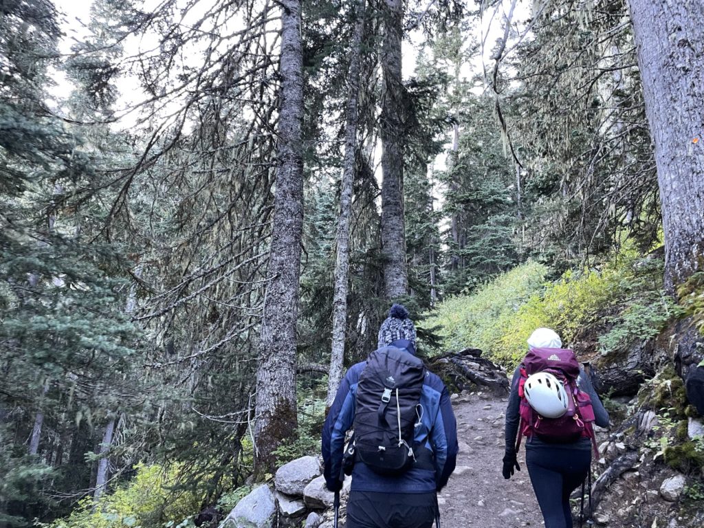
We followed along the normally high-traffic Joffre Lakes trail to the third and upper most lake. This was was well engineered to handle the hoardes of people and so made for a pleasant plod up to the start of the Tszil/Slalok route. Once we reached the upper lake, I swapped my trail shoes for mountaineering boots and then were on our way again.
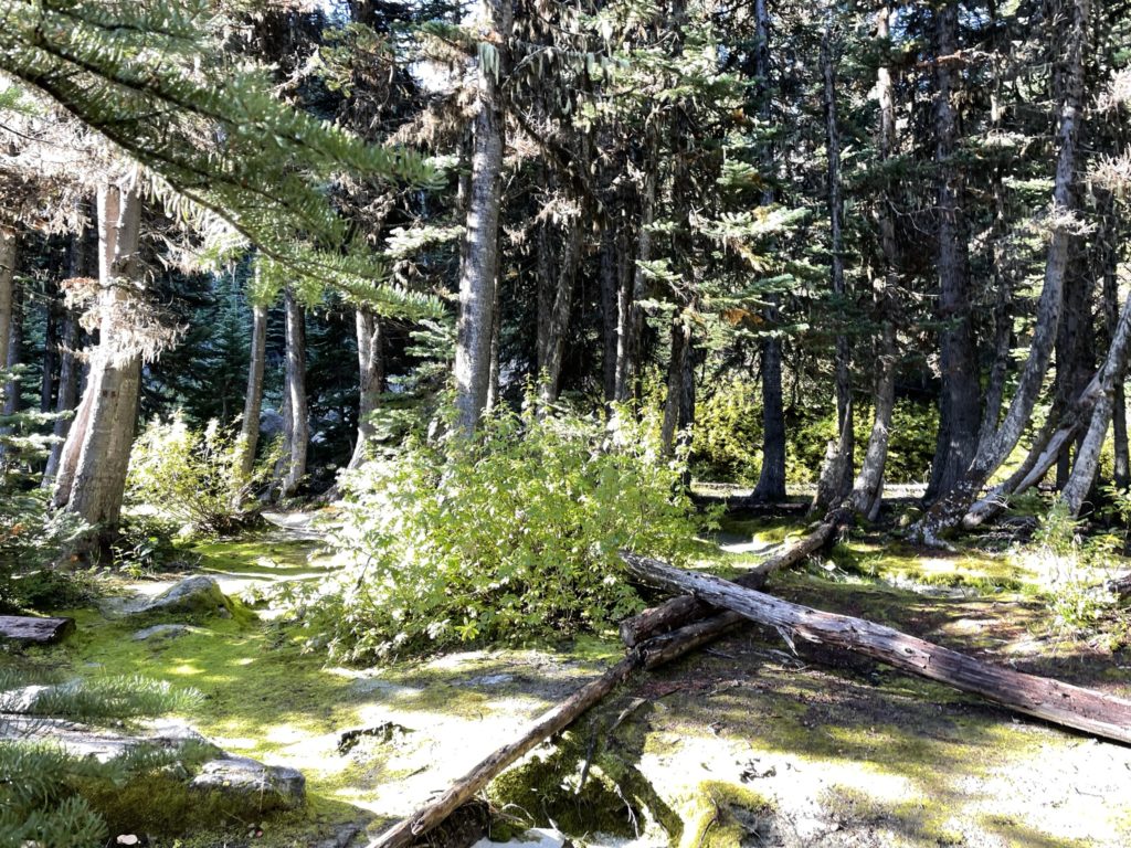
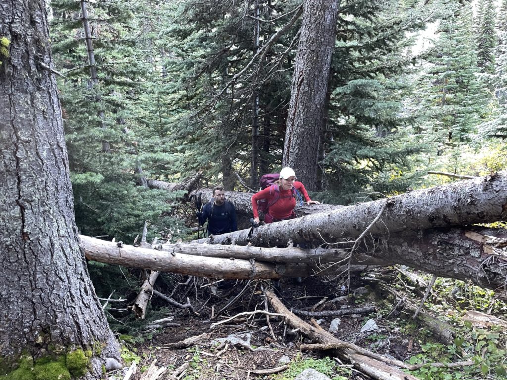
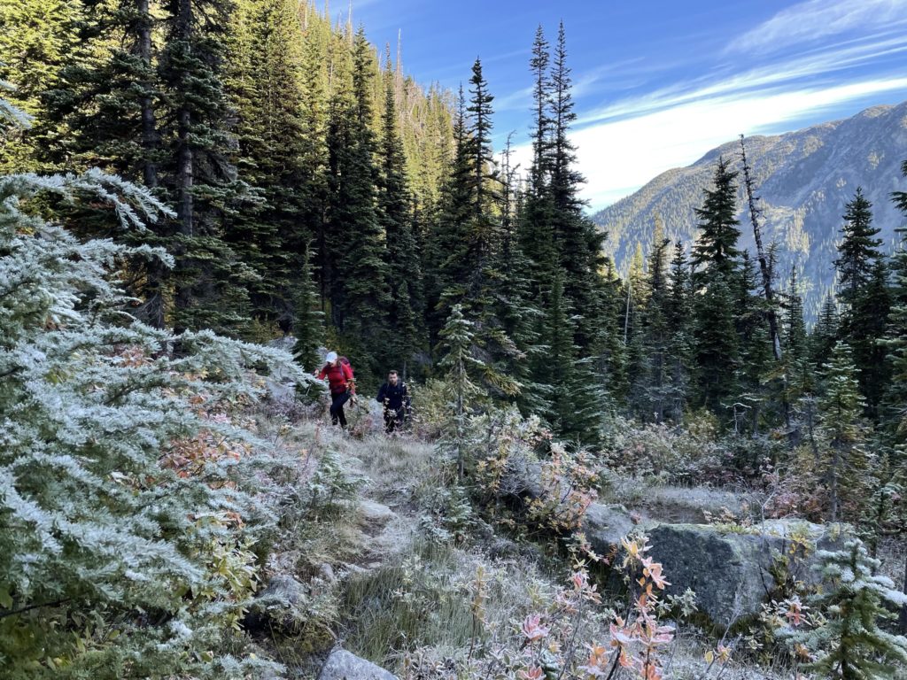
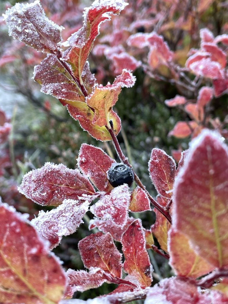
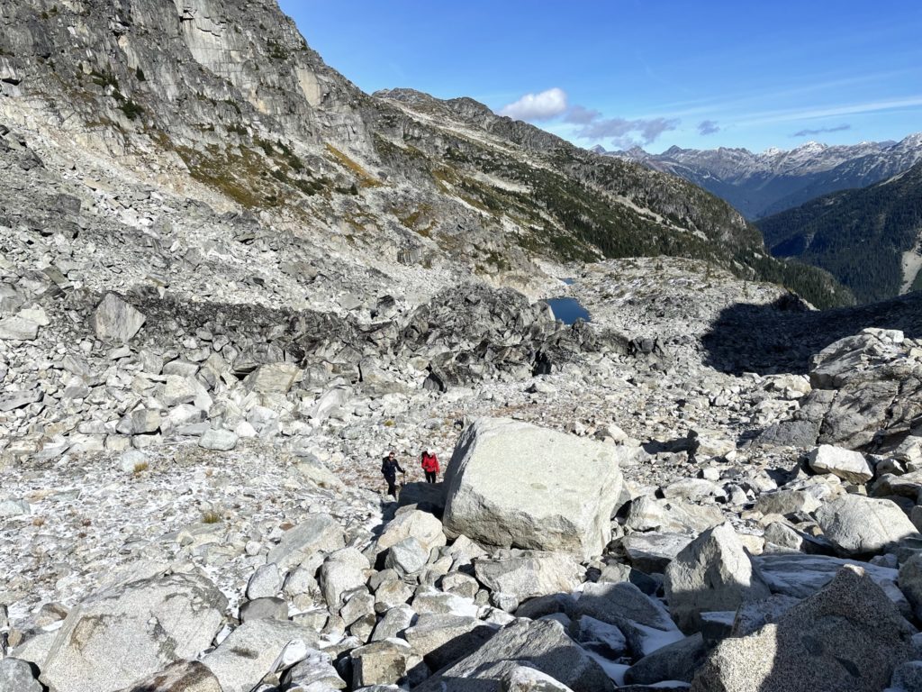
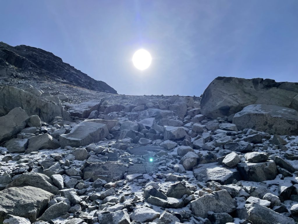
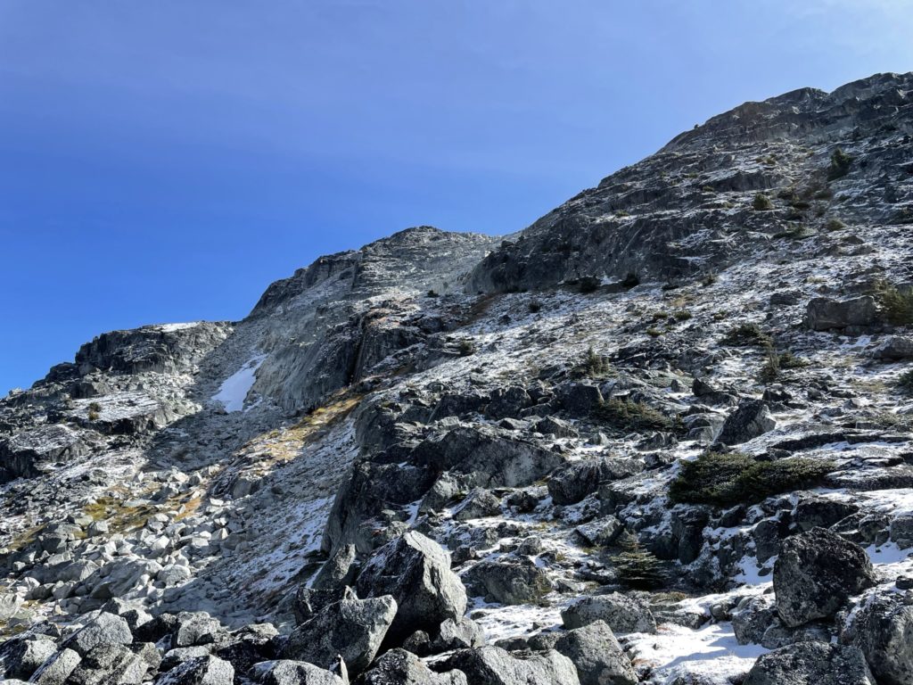
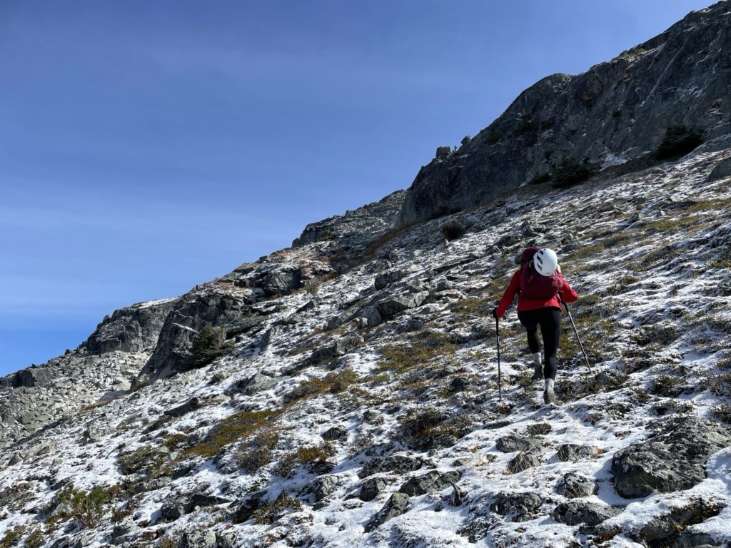
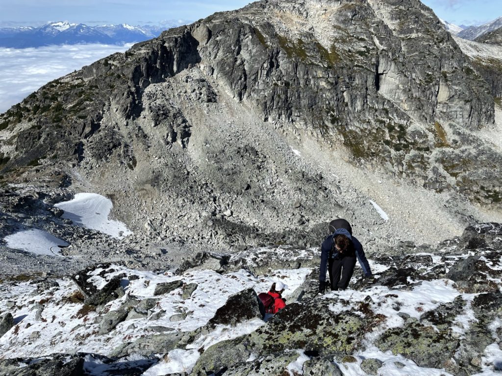
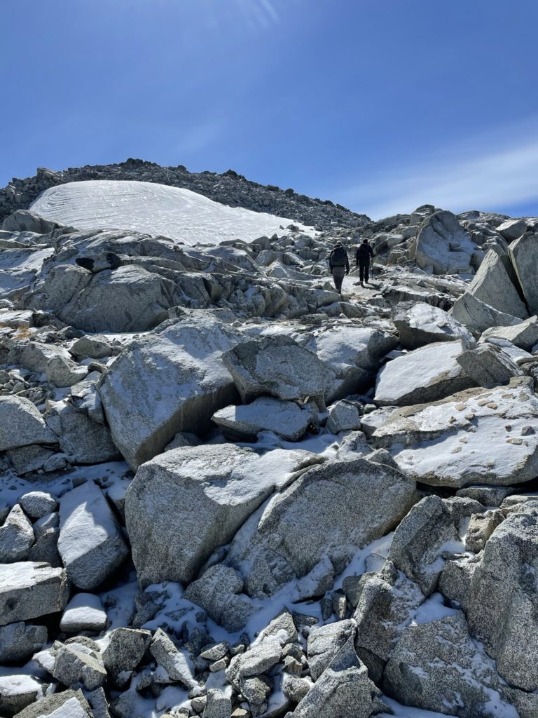
From the upper lake, we had to cross a frost-laden boulder field. The sun had only just crested over Joffre and Matier and so we had to make careful foot placements to avoid a wipe out. After the boulder field, we continued through a small forested section on a fairly bushy foot trail. Thankfully the path was obvious and we made it out of the forest in short order. At the end of the forest was a long moraine ridge that ran most of the way to the Tszil-Taylor col. This ridge allowed us to dodge a prolonged boulder hopping session that dominated the valley between Mount Taylor and Tszil/Slalok. While we ascended the moraine ridge, we could see a layer of snow capping all of the rocks on Slalok and Tszils western aspects. Some doubts started to creep in on whether the crux sections would be too slippery. However, there’s only one way to find out and so we continued on to the end of the ridge.

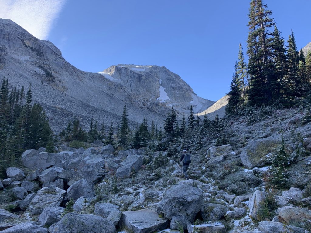
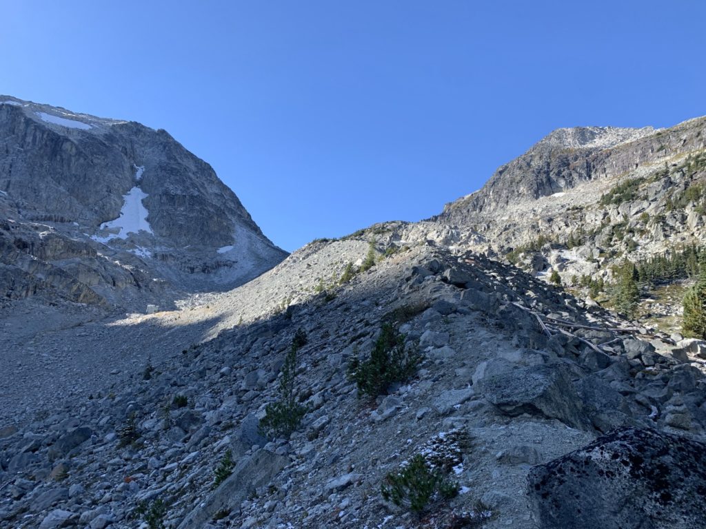
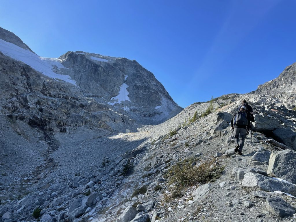
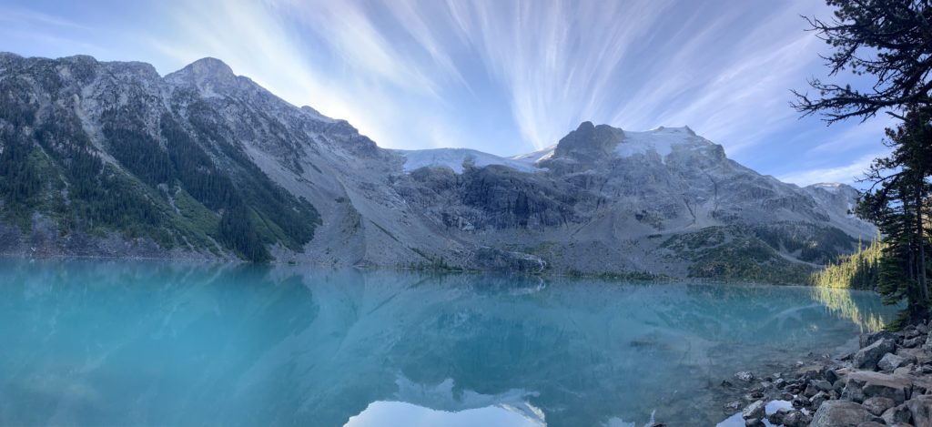
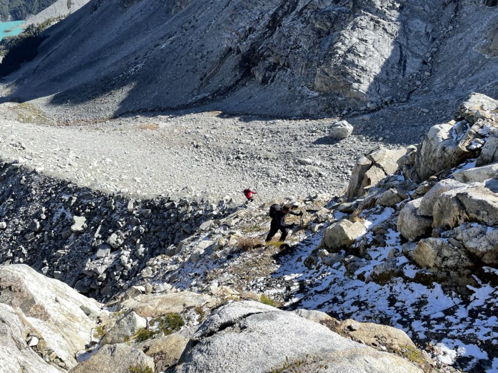
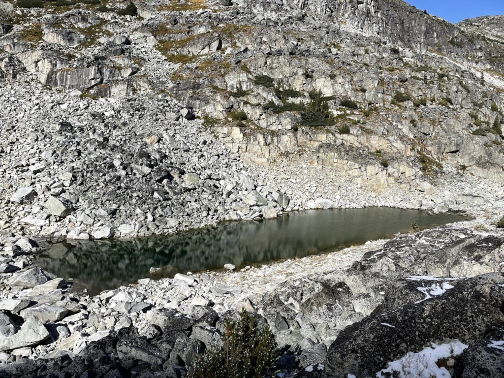
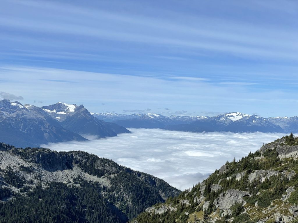
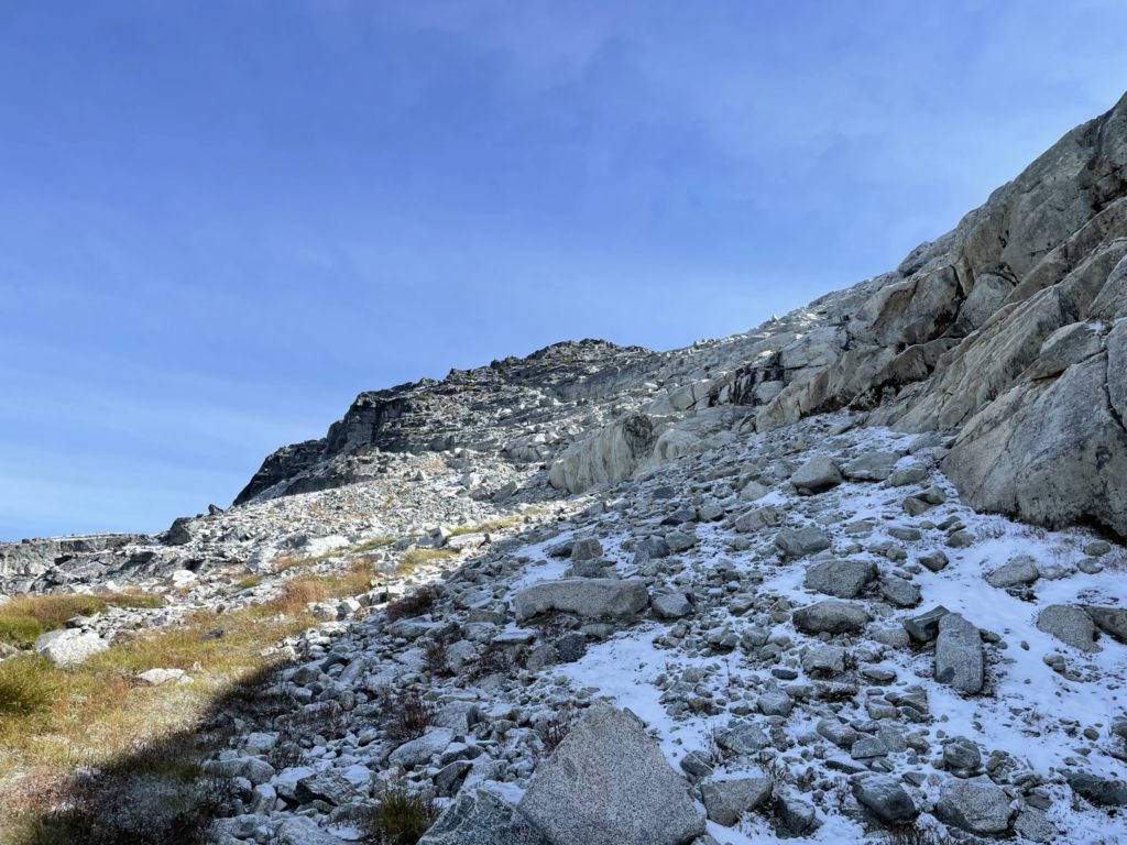
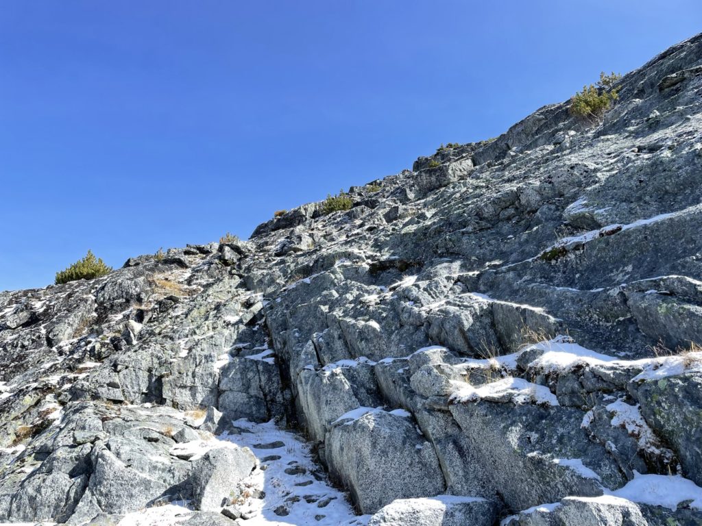
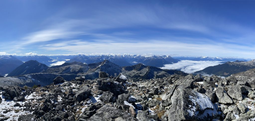
Past the ridge, was a short 3rd class pitch up frost covered rock, before the route mellowed out onto a plateau. Now we were forced to traverse over boulders to gain the Tszil-Taylor col. Thankfully, this section wasn’t actually so bad and before long we were on the col at last. Here, we paused for some food and observed a beautiful inversion of the Pemberton area.
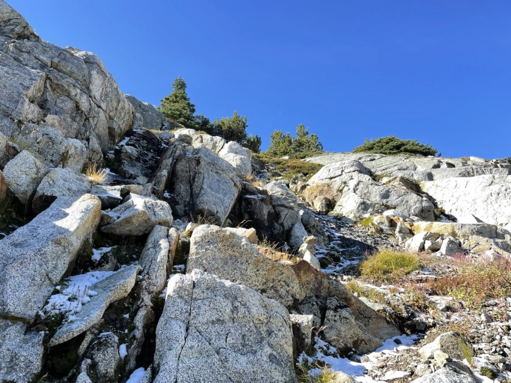
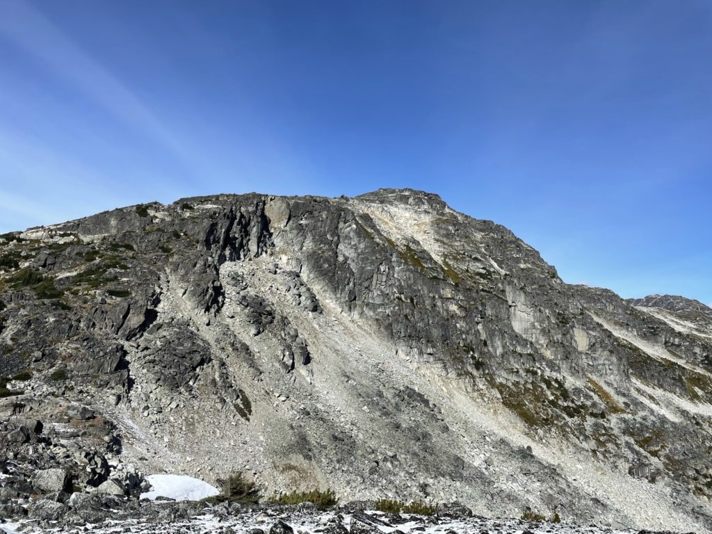
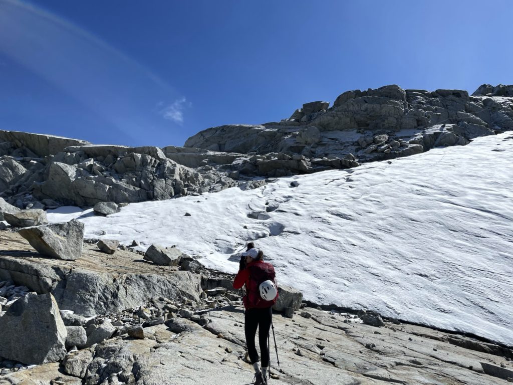
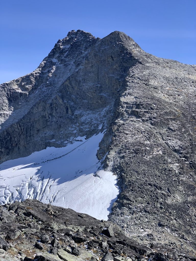
Once we had our fill of snacks and photos, we started out way up the western aspect of Tszil to gain the summit. There were two obvious ramps that looked like they might lead to the top, but we took the right-most ramp as it aligned with what our maps showed best. This section had not seen any sun yet and so we encountered a fair bit of snow covered slab that made things more slippery. That being said, the ramp was mostly a hike up that never went past 2nd class terrain. When we reached the end of the ramp, it was a simple scramble over some more boulders and a very small ice field before we gained the summit.
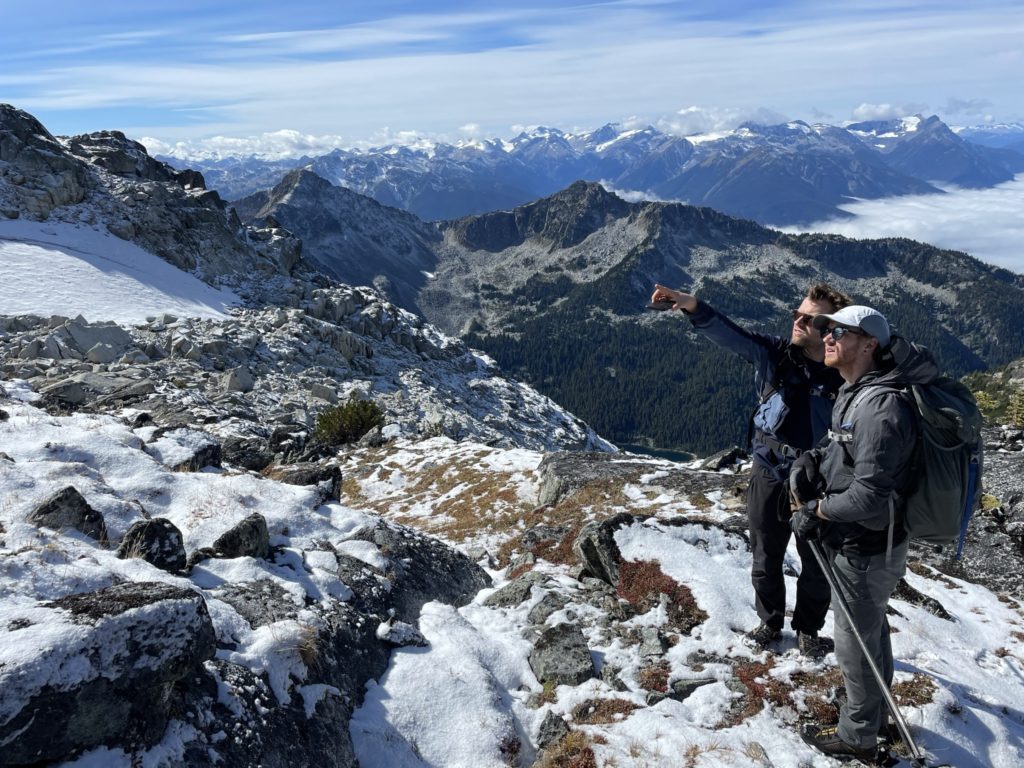
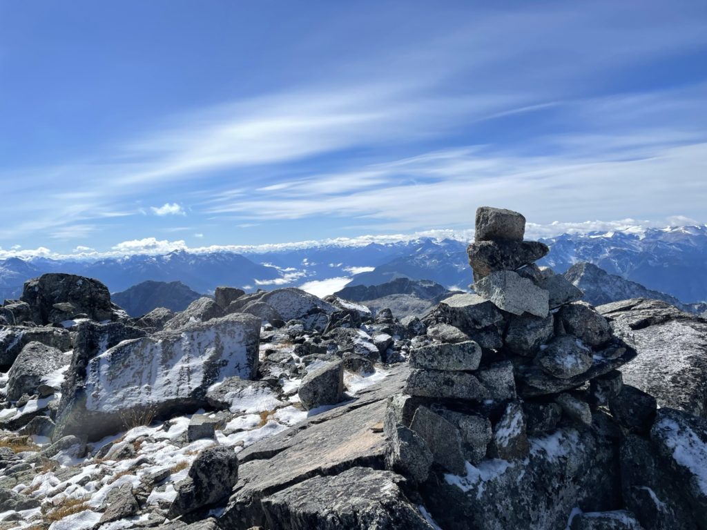
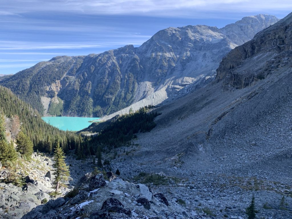
At the top, we were relieved to see that the majority of the Slalok route appeared snow free and was definitely worth a shot. Before heading over though, we hung out on the summit of Tszil for awhile to take more photos.
Then, with the day pressing on, it was time to continue our way over to the main objective of the day.