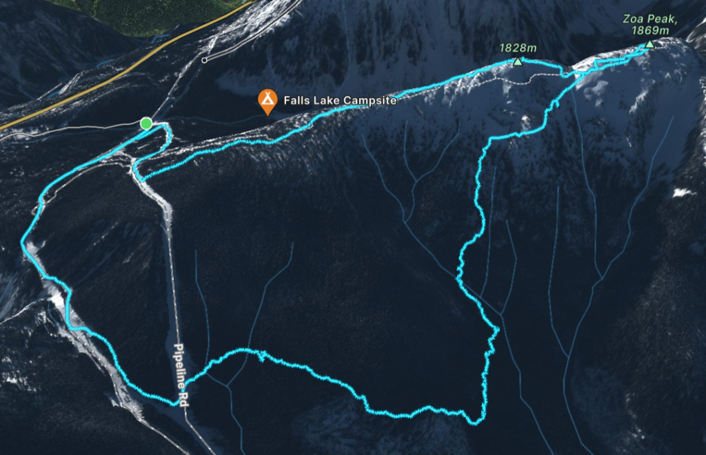
Elevation Gain: 800m
Distance: 10.61km
Total Time: 6 hours 46 minutes
Date: December 5th, 2022
After a first, for us, ski powered ascent up Anif Peak we were eyeing up the next objective. The Coquihalla area has a number of straightforward ski ascents and we both needed another easy peak to build up our skills on. Zoa Peak looked like the answer, as it’s a popular ski touring spot with easy ski terrain and ascent options. Andrew Knapman from SWBC Peak Baggers had just been up there a few days prior so we knew what to expect for conditions. The only lingering question, was what do we actually ski and at what point do we cut back to the trail head. I couldn’t find any answers online. It seems skiers are extra secretive about their beta, but I figured we could figure it out on sight as a worst case. Joining Andrea and I at the last minute was Andrea’s friend Alessandro.
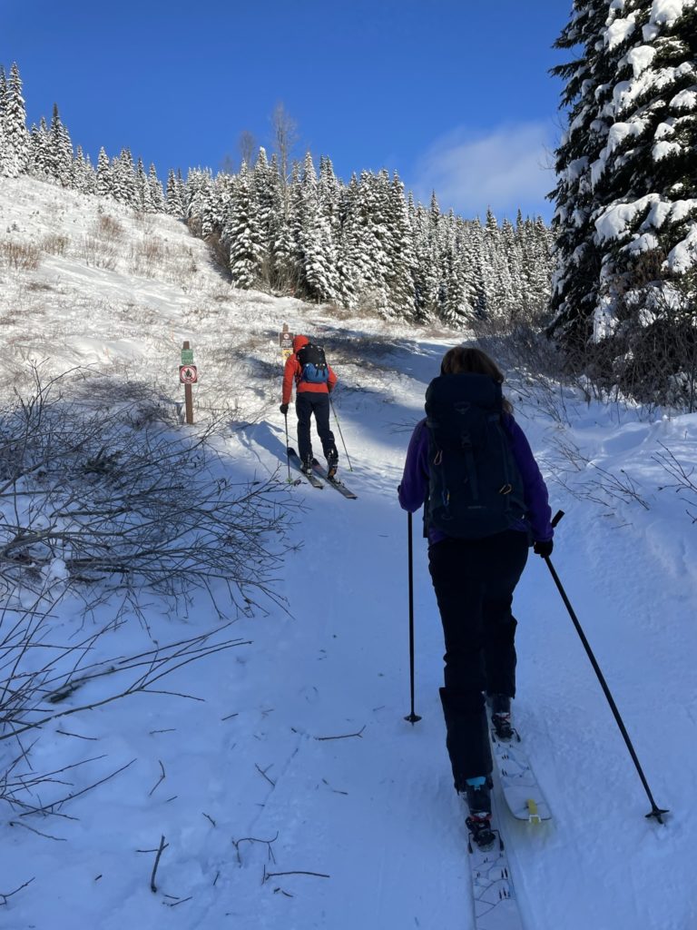
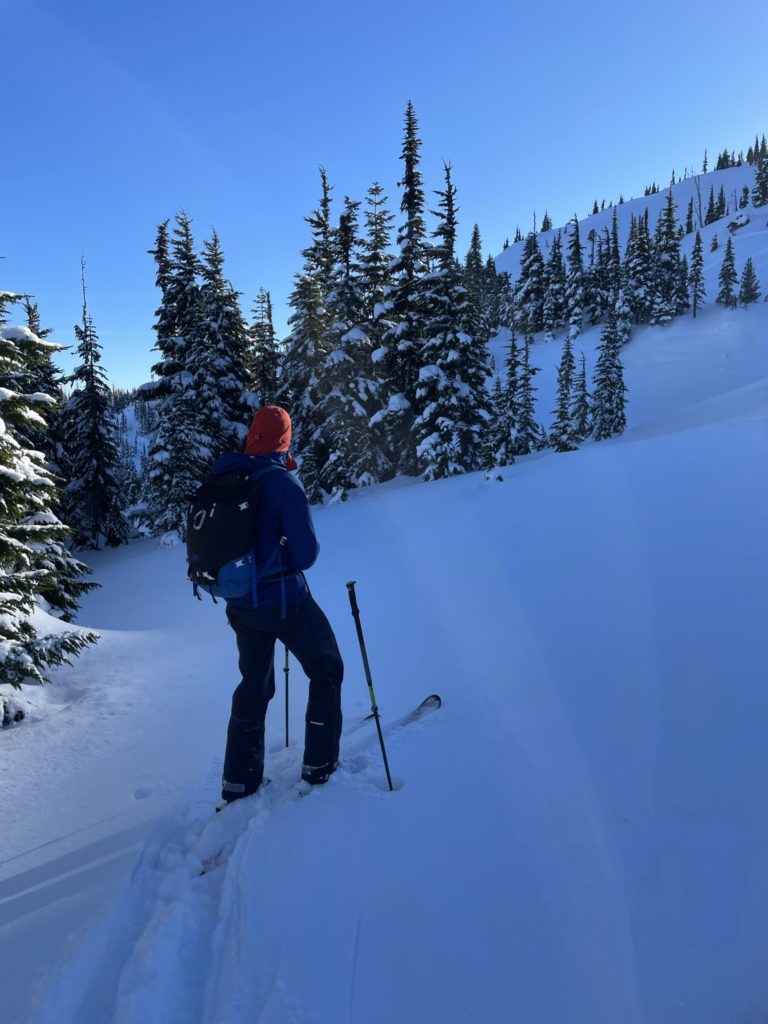
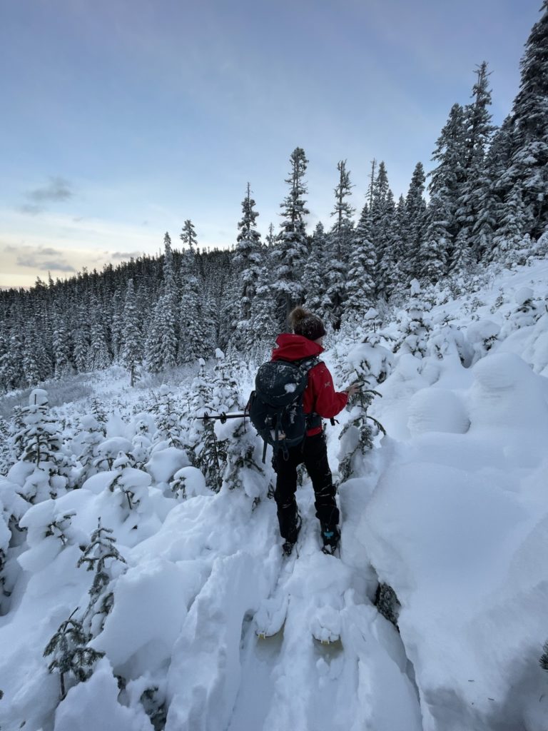
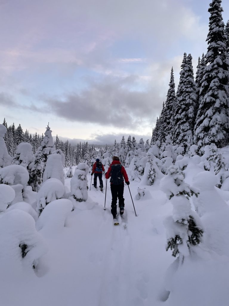
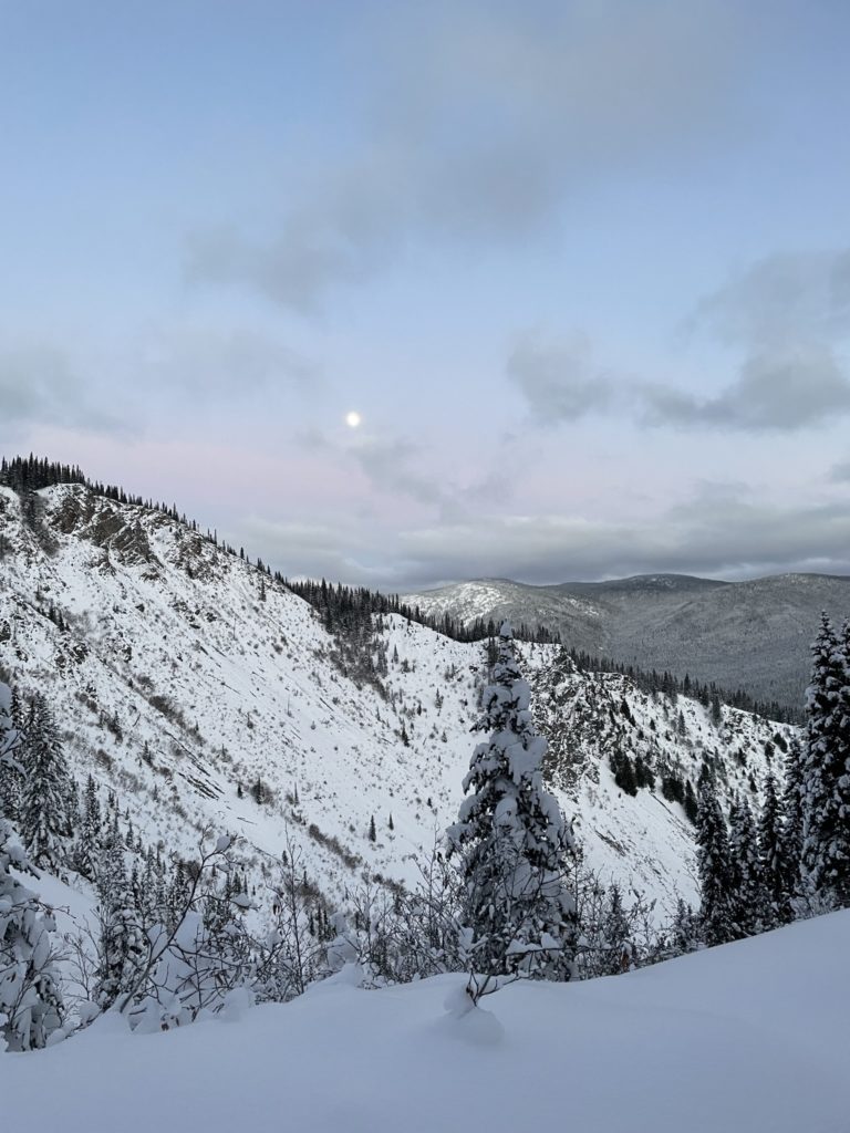
On the Thursday I drove all three of us out to the trail head for around 10am and we hit the trail shortly after. The route generally follows a service road for 1.5km or so and then cuts into the forest. Given the popularity of the area, all we had to do was follow the highway of ski tracks up. We cruised up threw the forest for about an hour and a half before reaching the “east peak”. Just beyond was the true summit and Alessandro lead the way down to the col. From there we skinned up over some variable wind affected snow until reaching the broad summit area. I located the true summit just 15-20m further and we all topped out shortly after.
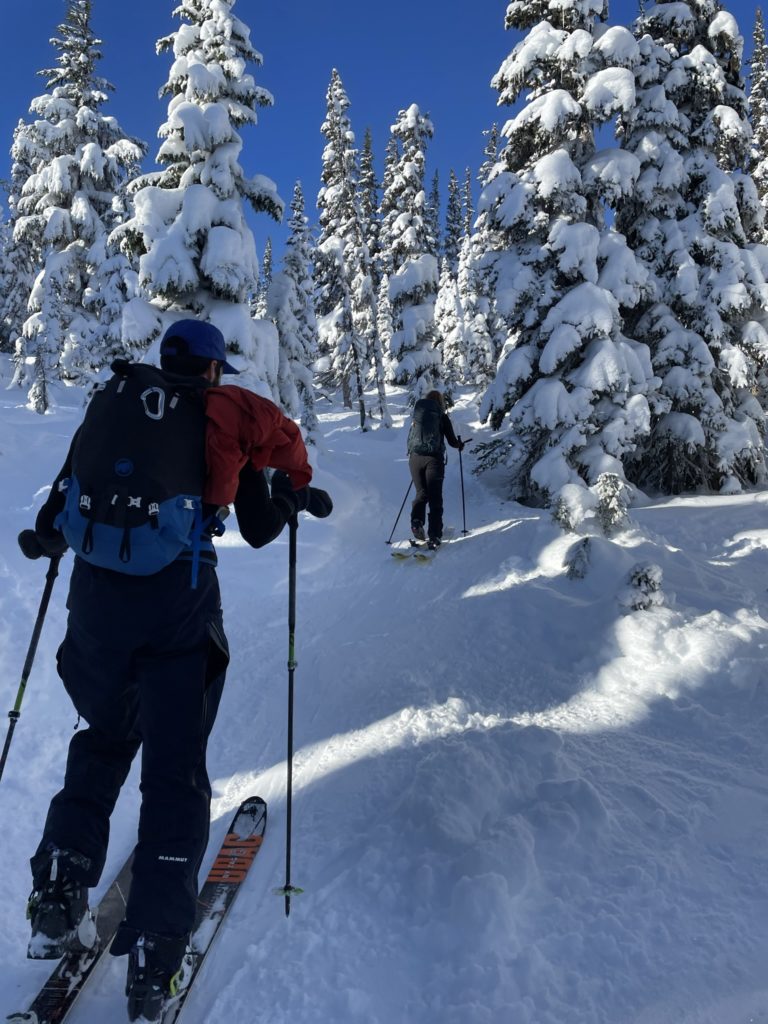
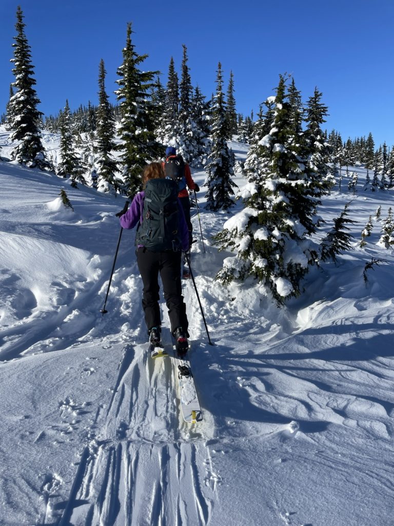
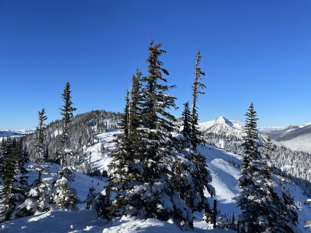
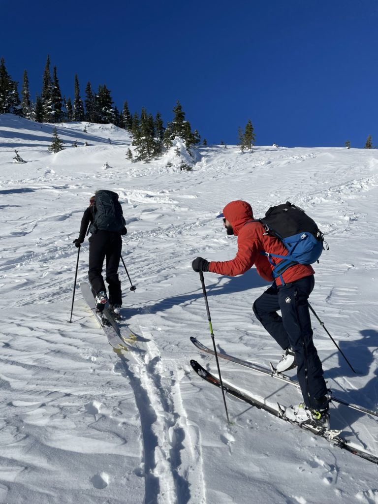
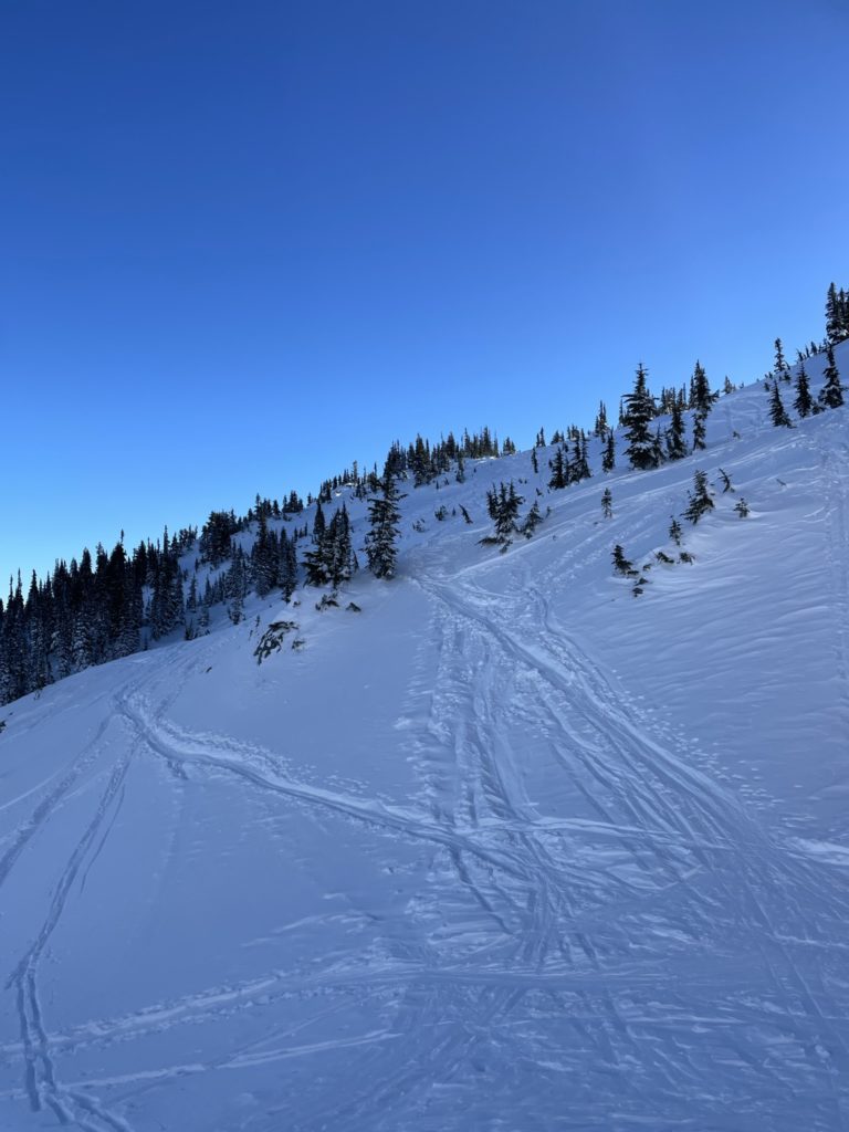
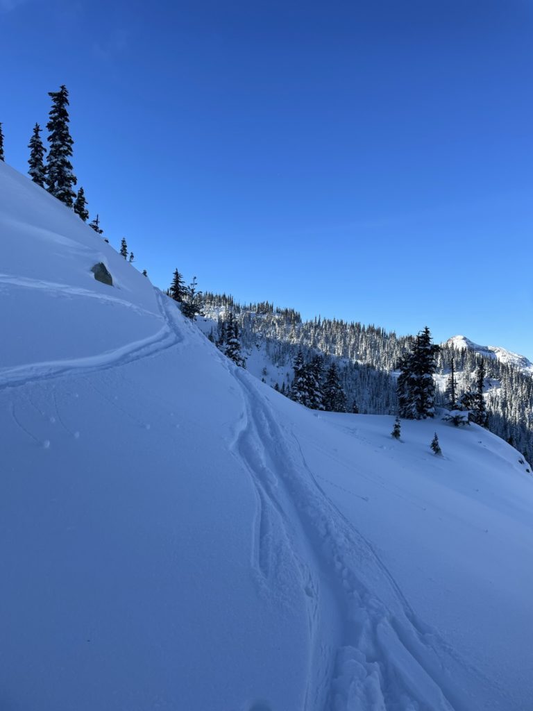
From the summit we dropped back down to a nice flat spot and took a break to have some lunch. After 20 minutes or so, we transitioned to our descent setup and slowly made our way around to the top of the descent area. Now came the tricky part. Figuring out where to ski. Based on GPS it looked like we could ski about halfway down the slopes and then traverse right to reach the trail head. Numerous tracks pointed down deep into the forest as well, so that seemed like a good choice.
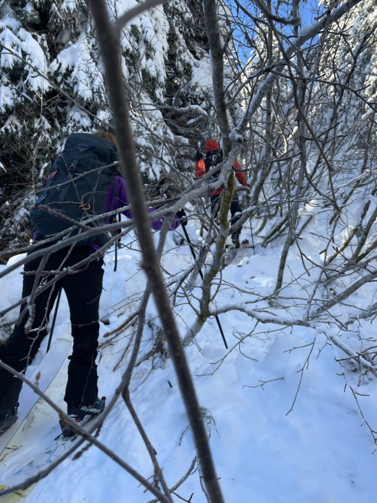
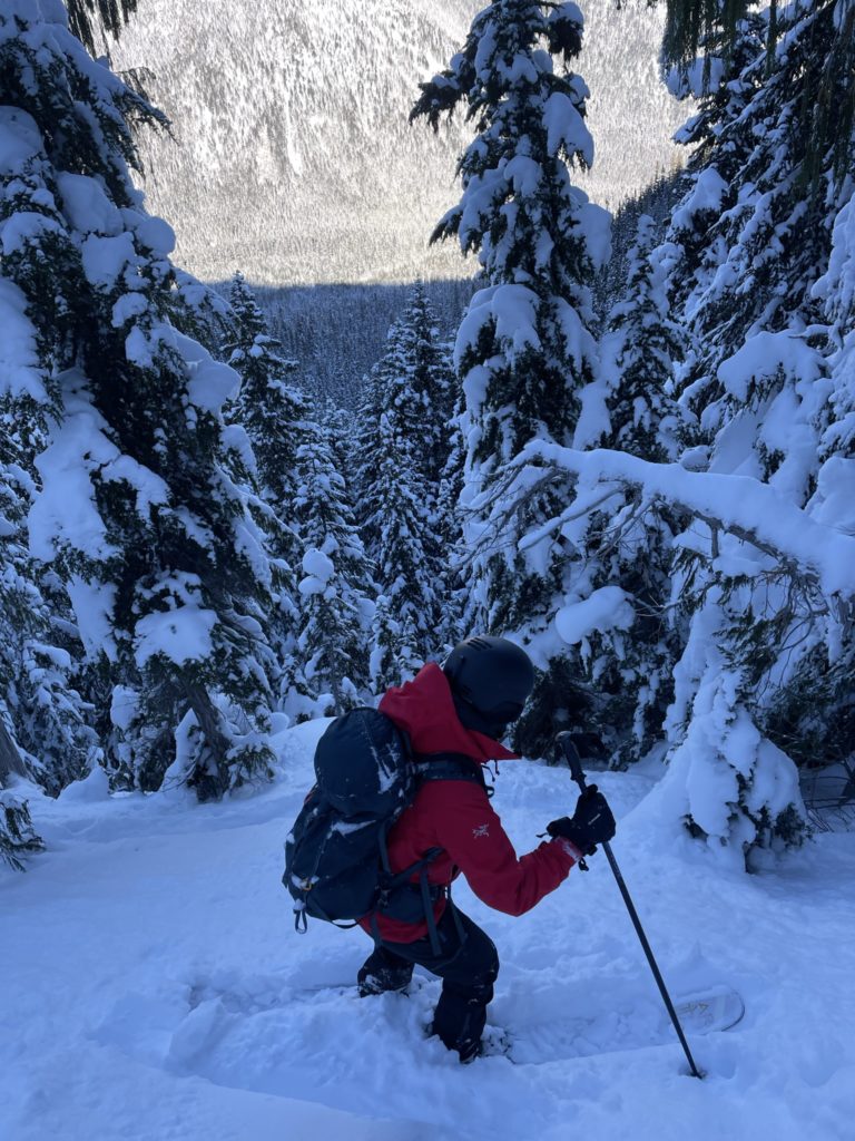
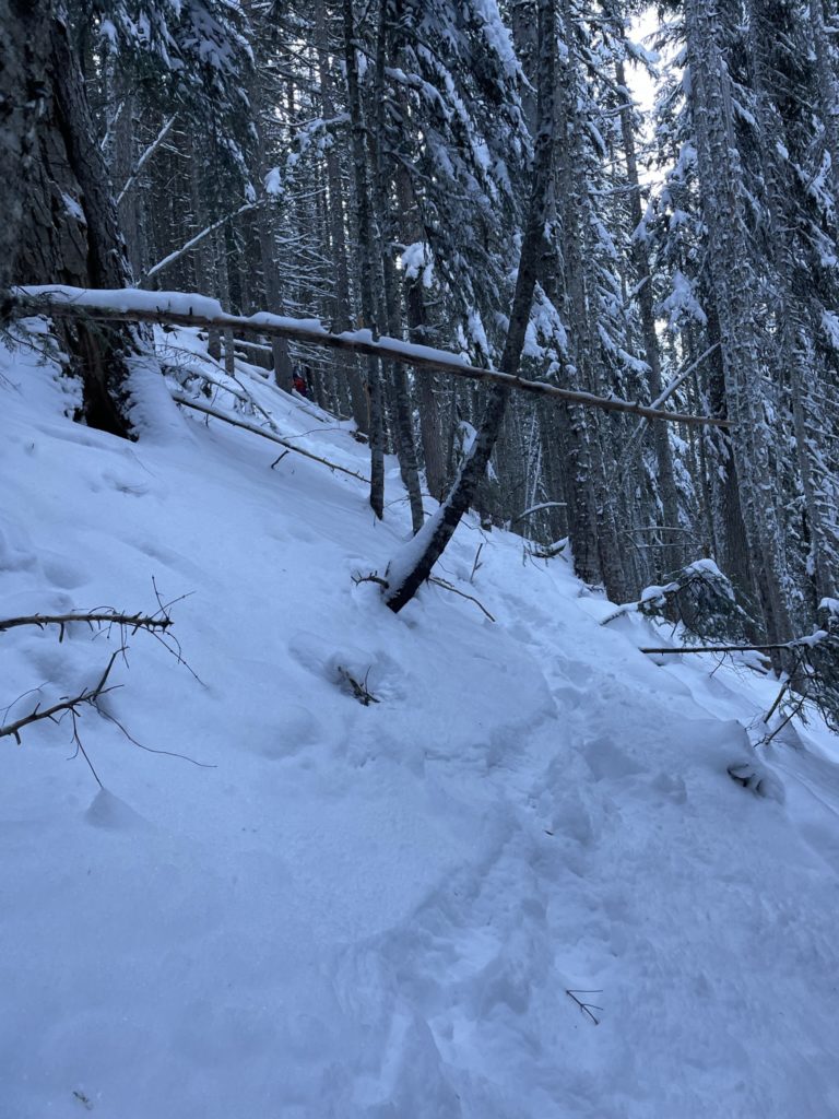
All three of us skied down one at a time, regrouping near the col. We took a wrong turn to a steep section after, but backed up and continued traversing over. Here we were lured deeper into the forest by inviting pillows of powder. As we skied further down, we noticed the previous ski tracks had all but tapered off. It was becoming clear that no one was skiing this far down. Nonetheless, we figured we could still traverse over without too much hassle.
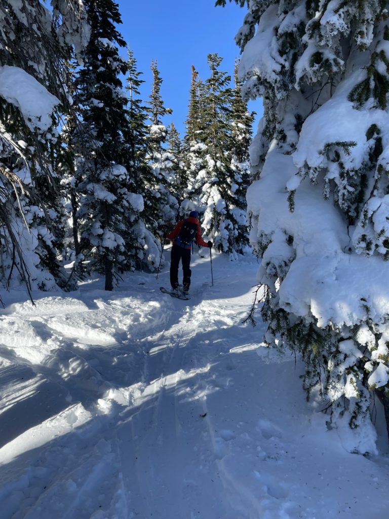
Somewhere around 1430m we had to weave our way through tight trees and steep bluffy terrain. By some luck we managed to avoid the nastiest sections, but some bushwhacking was still required to escape to mellower terrain. From here we skiied a little further down, finally stopping at 1400m when the snow thinned out too much.
At this point, we transitioned to skinning again, still naive to the challenges ahead. We took turns taking the lead and initially the traverse was going smoothly, but soon the terrain turned steep again. Andrea took a good fall, when she went over a hidden branch that hooked her ski. The incident twisted her knee pretty badly, but she was thankfully able to recover. This was our queue to boot pack for a bit, so we popped the skis off and hiked around some of the more heinous terrain.
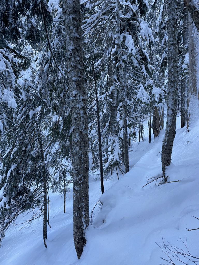
Once the slope mellowed out, we swapped to skis again and I lead the way across a mine field of dead fall. Numerous branches ran perpendicular to our traverse and each time I’d step over the branch my ski would just slip out. Once again, we took our skis off and found a nice flat section just beyond.
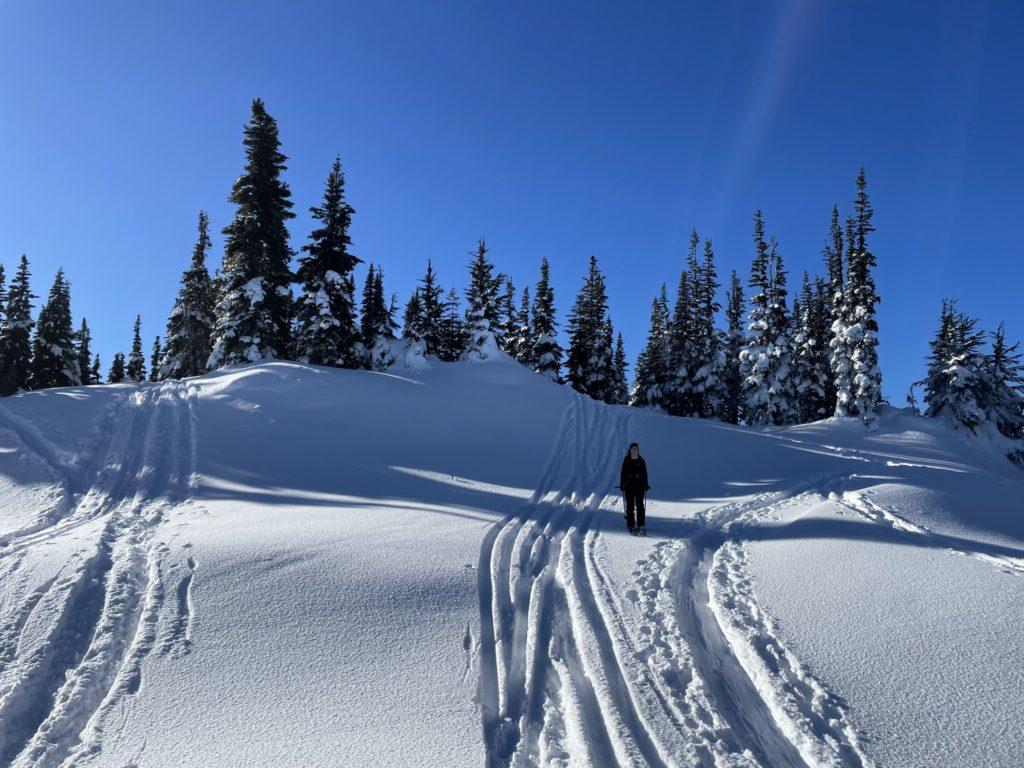
About 200m after rounding around the northern rib of Zoa’s east peak our luck changed. Alessandro lead us by chance onto a long abandoned service road. It was quite over grown, but we had sufficient snow coverage to make it manageable. He lead us through tight alders and deep unconsolidated sections for 6-700m before we branched off. There was an upcoming creek crossing that looked very steep on the map, so we aimed for an easing in the terrain around 1430m. Despite how bad it looked on the map, it ended up being trivial to cross.
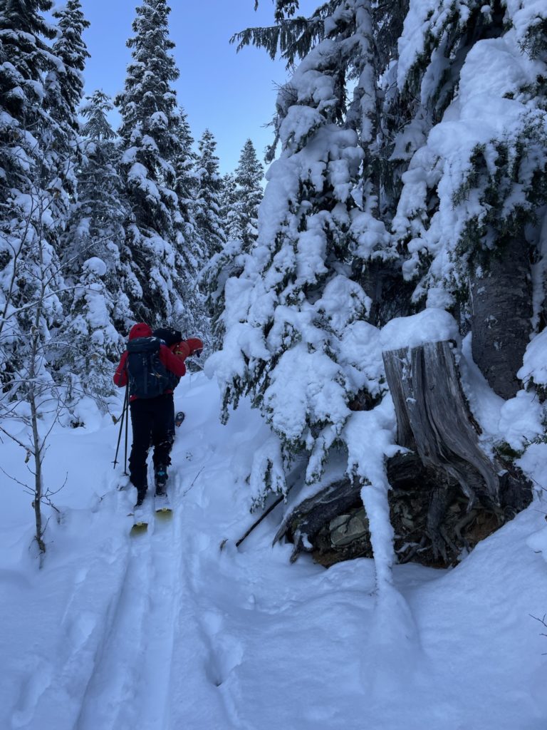
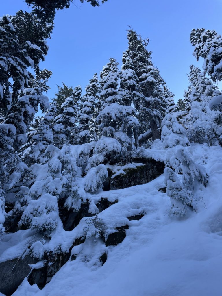
We were now nearing the road marked as “pipeline road” on the map and this would link us back up with the trail head. Just before hitting the road, nature through one more block at us and that came in the form of the dense second growth trees present around most service roads. We battled with the small ever greens but eventually pushed through.
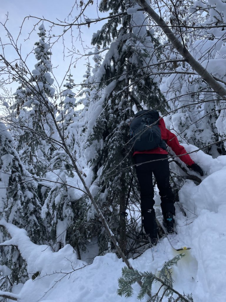
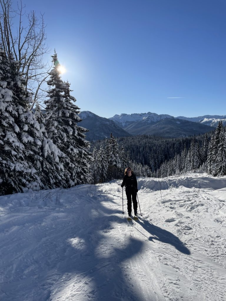
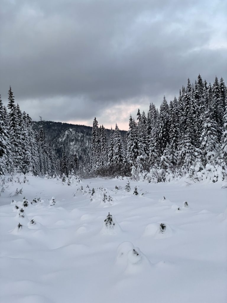
At last we were out of the bush and now were presented with two options. Ascend up the pipeline road or descend and link up with Falls Lake FSR perhaps 50m down. The road lower down required another 150m or so of traversing, but the pipeline road was unconsolidated snow with small evergreens poking out. It was going to be a battle to skin up. Alessandro felt confident about the lower road, so we gave it a shot. As we dropped down, we inadvertently discovered an unmarked road. It looked completely open, save for a bit of dead fall, so we opted to take that. In the end Alessandro’s inclination was the right one. The road ended up being a breeze and after 700m or so we linked up with the lower road that was marked on the map. From there it was an easy skin and then descent back to the car. Just before dark no less.
We most certainly weren’t the first, nor will be the last to descend too far on Zoa’s slopes. All I can say is, in later season conditions it’d probably be fine. I’m still not sure what most people do, but it seems they only ski 200m or so off the summit and then skin back up to get laps. Either way, a fun adventure and we got to discover a number of unmarked roads which is always cool.